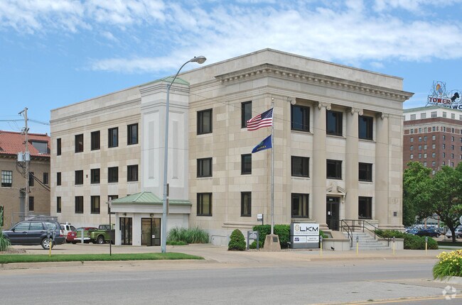
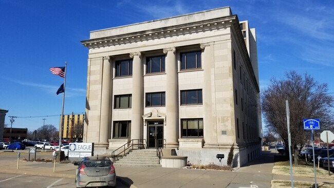
Property Record
300 Sw 8Th Ave, Topeka, KS 66603

Property Detail
300 Sw 8Th Ave
109-31-0-40-04-004-010
ORIGINAL TOWN, S31, T11, R16, LOT 36 +, E 1/2 OF LOT 36 & ALL OF LOTS 38-40-42-44-46 & 48 SECTION 31 TOWNSHIP 11 RANGE 16
Officebuilding
Shawnee
OI2
Kansas
B and X Area of moderate flood hazard, usually the area between the limits of the 100-year and 500-year floods.
36
0
0.52 AC
2025
Topeka
004000
Kansas City
11,680 SF
Topeka, KS
NEARBY LISTINGS FOR SALE OR LEASE
DEMOGRAPHICS near 300 Sw 8Th Ave
1 mile
3 mile
5 mile
2025 Total Population
10,504
66,235
123,066
2030 Population
10,899
66,923
123,378
Pop Growth 2025-2030
+ 3.76%
+ 1.04%
+ 0.25%
Average Age
39
39
40
2025 Total Households
4,672
27,800
52,151
HH Growth 2025-2030
+ 4.26%
+ 1.09%
+ 0.23%
Median Household Inc
$32,508
$47,691
$54,794
Avg Household Size
2.00
2.20
2.20
2025 Avg HH Vehicles
1.00
2.00
2.00
Median Home Value
$74,258
$99,559
$141,710
Median Year Built
1949
1953
1965
Nearby Places
Map Layers
Map Styles
 Street
 Aerial
Layers
 Traffic
 Biking
Places
Listings with unknown addresses are not visible on the map
- Restaurants
- Banks
- Shops
- Fitness
- Groceries
PUBLIC TRANSPORTATION
COMMUTER RAIL
Topeka Amtrak Station (Southwest Chief - Amtrak)
Drive
Walk
Distance
Topeka Amtrak Station (Southwest Chief - Amtrak)
2 min
17 min
0.9 mi
Freight Ports
Tulsa Port Of Catoosa
Drive
Walk
Distance
Tulsa Port Of Catoosa
277 min
225.9 mi
SALE & LEASE HISTORY
LISTING DATE
SALE/LEASE

Mar 16, 2020
For Lease
Nearby Properties
Address
Land Use
TOTAL SIZE
Lot Size
Zoning
Address
Land Use
TOTAL SIZE
Lot Size
Zoning
249,598 SF
150.21 AC
U1
Address
Land Use
TOTAL SIZE
Lot Size
Zoning
513,835 SF
13.39 AC
M1
Address
Land Use
TOTAL SIZE
Lot Size
Zoning
52,453 SF
17.12 AC
C5,OI2
Address
Land Use
TOTAL SIZE
Lot Size
Zoning
309,298 SF
7.34 AC
M1
Address
Land Use
TOTAL SIZE
Lot Size
Zoning
117,839 SF
121.95 AC
R1
Address
Land Use
TOTAL SIZE
Lot Size
Zoning
64,058 SF
3.31 AC
C4,OI2
Address
Land Use
TOTAL SIZE
Lot Size
Zoning
336,669 SF
58.82 AC
PUD,C4
Address
Land Use
TOTAL SIZE
Lot Size
Zoning
3.31 AC
OI2
Address
Land Use
TOTAL SIZE
Lot Size
Zoning
77,776 SF
10.64 AC
PUD,M2,R1,
Address
Land Use
TOTAL SIZE
Lot Size
Zoning
80,630 SF
107.16 AC
R1
Address
Land Use
TOTAL SIZE
Lot Size
Zoning
285,005 SF
3.10 AC
C4,C5,I1
Address
Land Use
TOTAL SIZE
Lot Size
Zoning
19,120 SF
2.08 AC
R1
Address
Land Use
TOTAL SIZE
Lot Size
Zoning
65,687 SF
7.47 AC
C2,I1,M2
Address
Land Use
TOTAL SIZE
Lot Size
Zoning
137,637 SF
10.43 AC
M2
Address
Land Use
TOTAL SIZE
Lot Size
Zoning
90,929 SF
8.68 AC
PUD,OI3,I1
Address
Land Use
TOTAL SIZE
Lot Size
Zoning
114,523 SF
6.92 AC
OI3
Address
Land Use
TOTAL SIZE
Lot Size
Zoning
98,898 SF
1.91 AC
C5
Address
Land Use
TOTAL SIZE
Lot Size
Zoning
107,592 SF
14.98 AC
C4,I1,OI2
Address
Land Use
TOTAL SIZE
Lot Size
Zoning
181,781 SF
569.17 AC
R1
Address
Land Use
TOTAL SIZE
Lot Size
Zoning
127,947 SF
7.12 AC
C5
Address
Land Use
TOTAL SIZE
Lot Size
Zoning
123,795 SF
16.45 AC
PUD,R1,I1,
Address
Land Use
TOTAL SIZE
Lot Size
Zoning
54,654 SF
0.56 AC
C5
Address
Land Use
TOTAL SIZE
Lot Size
Zoning
112,413 SF
0.73 AC
C5
Address
Land Use
TOTAL SIZE
Lot Size
Zoning
101,766 SF
2.39 AC
C5,I1
Address
Land Use
TOTAL SIZE
Lot Size
Zoning
101,166 SF
3.31 AC
C5
Address
Land Use
TOTAL SIZE
Lot Size
Zoning
22,484 SF
75.33 AC
R1
Address
Land Use
TOTAL SIZE
Lot Size
Zoning
52,261 SF
4.59 AC
OI3
Address
Land Use
TOTAL SIZE
Lot Size
Zoning
161,335 SF
37.32 AC
R1
Address
Land Use
TOTAL SIZE
Lot Size
Zoning
32,838 SF
3.25 AC
MS1
Address
Land Use
TOTAL SIZE
Lot Size
Zoning
92,118 SF
10.87 AC
R2
The World's #1 Commercial Real Estate Marketplace
Connect with us
© 2026 CoStar Group
The information above has been obtained from sources believed reliable. While we do not doubt its accuracy we have not verified it and make no guarantee, warranty or representation about it. It is your responsibility to independently confirm its accuracy and completeness. Any projections, opinions, assumptions, or estimates used are for example only and do not represent the current or future performance of the property. The value of this transaction to you depends on tax and other factors which should be evaluated by your tax, financial, and legal advisors. You and your advisors should conduct a careful, independent investigation of the property to determine to your satisfaction the suitability of the property for your needs.