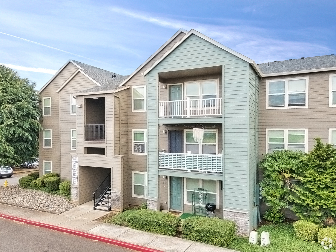
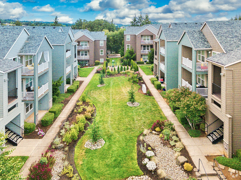
Property Record
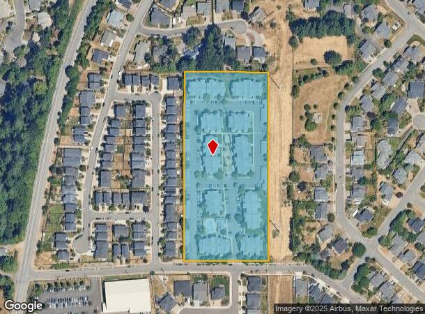
3001 Gehlar Rd Nw, Salem, OR 97304
NEARBY LISTINGS FOR SALE OR LEASE
Property Detail
3001 Gehlar Rd Nw
Multifamilydwelling
Polk
X
Oregon
41053C0279F
5.77 AC
2024
West Salem
2025
Portland
005203
Salem, OR
153,728 SF
275345
DEMOGRAPHICS near 3001 Gehlar Rd Nw
1 Mile
3 Mile
5 Mile
2024 Total Population
10,199
42,843
132,959
2029 Population
11,058
45,897
137,236
Pop Growth 2024-2029
+ 8.42%
+ 7.13%
+ 3.22%
Average Age
40
40
39
2024 Total Households
3,547
16,498
50,153
HH Growth 2024-2029
+ 8.80%
+ 7.33%
+ 3.35%
Median Household Inc
$130,310
$87,083
$67,755
Avg Household Size
2.80
2.50
2.50
2024 Avg HH Vehicles
2.00
2.00
2.00
Median Home Value
$424,067
$411,078
$364,097
Median Year Built
1999
1981
1973
Nearby Places
- Restaurants
- Banks
- Shops
- Fitness
- Groceries
PUBLIC TRANSPORTATION
COMMUTER RAIL
Salem (Amtrak Cascades - Amtrak, Coast Starlight - Amtrak)
DRIVE
WALK
Distance
Salem (Amtrak Cascades - Amtrak, Coast Starlight - Amtrak)
10 min
4.4 mi
Freight Ports
Port of Portland
DRIVE
WALK
Distance
Port of Portland
72 min
52.0 mi
Nearby Properties
Address
Land Use
TOTAL SIZE
Lot Size
Zoning
Address
Land Use
TOTAL SIZE
Lot Size
Zoning
324,567 SF
49.27 AC
PE
Address
Land Use
TOTAL SIZE
Lot Size
Zoning
118,829 SF
3.49 AC
CB
Address
Land Use
TOTAL SIZE
Lot Size
Zoning
120,642 SF
4 AC
CB
Address
Land Use
TOTAL SIZE
Lot Size
Zoning
305,230 SF
9.76 AC
PS
Address
Land Use
TOTAL SIZE
Lot Size
Zoning
325,042 SF
16.86 AC
RM2
Address
Land Use
TOTAL SIZE
Lot Size
Zoning
183,400 SF
7.17 AC
PE; CB
Address
Land Use
TOTAL SIZE
Lot Size
Zoning
136,813 SF
27.08 AC
RA
Address
Land Use
TOTAL SIZE
Lot Size
Zoning
72,096 SF
13.36 AC
RA
Address
Land Use
TOTAL SIZE
Lot Size
Zoning
122,333 SF
0.48 AC
CB
Address
Land Use
TOTAL SIZE
Lot Size
Zoning
122,260 SF
2.32 AC
PE
Address
Land Use
TOTAL SIZE
Lot Size
Zoning
98,733 SF
1.13 AC
CB
Address
Land Use
TOTAL SIZE
Lot Size
Zoning
170,756 SF
2.65 AC
PS
Address
Land Use
TOTAL SIZE
Lot Size
Zoning
173,887 SF
7.65 AC
RM2
Address
Land Use
TOTAL SIZE
Lot Size
Zoning
322,533 SF
12.91 AC
RH
Address
Land Use
TOTAL SIZE
Lot Size
Zoning
56,304 SF
11.87 AC
RA
Address
Land Use
TOTAL SIZE
Lot Size
Zoning
144,782 SF
1.24 AC
CB
Address
Land Use
TOTAL SIZE
Lot Size
Zoning
105,457 SF
8.29 AC
WSCB
Address
Land Use
TOTAL SIZE
Lot Size
Zoning
49,882 SF
5.64 AC
PE
Address
Land Use
TOTAL SIZE
Lot Size
Zoning
112,052 SF
CB
Address
Land Use
TOTAL SIZE
Lot Size
Zoning
92,268 SF
1.41 AC
CB
Address
Land Use
TOTAL SIZE
Lot Size
Zoning
140,000 SF
1.13 AC
CB
Address
Land Use
TOTAL SIZE
Lot Size
Zoning
51,478 SF
1.08 AC
CR
Address
Land Use
TOTAL SIZE
Lot Size
Zoning
2.65 AC
CB
Address
Land Use
TOTAL SIZE
Lot Size
Zoning
78,149 SF
2.40 AC
CB; CO
Address
Land Use
TOTAL SIZE
Lot Size
Zoning
337,573 SF
2.65 AC
CB
Address
Land Use
TOTAL SIZE
Lot Size
Zoning
117,663 SF
5.38 AC
RM2
Address
Land Use
TOTAL SIZE
Lot Size
Zoning
10 SF
8.53 AC
PS
Address
Land Use
TOTAL SIZE
Lot Size
Zoning
57,611 SF
6 AC
PE
Address
Land Use
TOTAL SIZE
Lot Size
Zoning
61,013 SF
205.38 AC
P; UT-20
The World's #1 Commercial Real Estate Marketplace
Connect with us
© 2025 CoStar Group
The information above has been obtained from sources believed reliable. While we do not doubt its accuracy we have not verified it and make no guarantee, warranty or representation about it. It is your responsibility to independently confirm its accuracy and completeness. Any projections, opinions, assumptions, or estimates used are for example only and do not represent the current or future performance of the property. The value of this transaction to you depends on tax and other factors which should be evaluated by your tax, financial, and legal advisors. You and your advisors should conduct a careful, independent investigation of the property to determine to your satisfaction the suitability of the property for your needs.