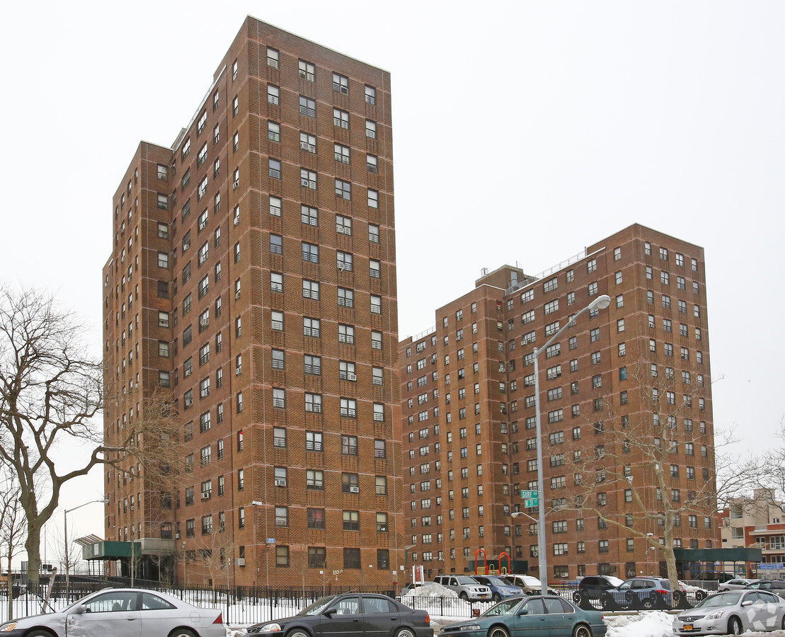
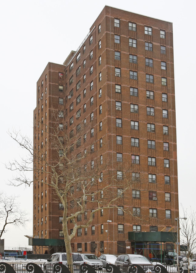
Property Record
3002 Surf Ave, Brooklyn, NY 11224
NEARBY LISTINGS FOR SALE OR LEASE
Property Detail
3002 Surf Ave
07067-0001
Kings
Cooperative
New York
AE
1
3604970353F
6.22 AC
0
Coney Island
2024
Long Island (New York)
034000
New York-Jersey City-White Plains, NY-NJ
514,015 SF
DEMOGRAPHICS near 3002 Surf Ave
1 Mile
3 Mile
5 Mile
2024 Total Population
33,653
329,186
946,721
2029 Population
32,323
306,179
881,716
Pop Growth 2024-2029
(3.95%)
(6.99%)
(6.87%)
Average Age
43
43
40
2024 Total Households
12,531
120,139
325,847
HH Growth 2024-2029
(4.58%)
(7.31%)
(7.13%)
Median Household Inc
$27,184
$55,524
$63,252
Avg Household Size
2.50
2.60
2.80
2024 Avg HH Vehicles
.00
1.00
1.00
Median Home Value
$780,155
$781,494
$785,173
Median Year Built
1967
1950
1948
Nearby Places
- Restaurants
- Banks
- Shops
- Fitness
- Groceries
PUBLIC TRANSPORTATION
TRANSIT/SUBWAY
Coney Island-Stillwell Avenue (D - New York MTA Subway (The Subway), F - New York MTA Subway (The Subway), N - New York MTA Subway (The Subway), Q - New York MTA Subway (The Subway))
DRIVE
WALK
Distance
Coney Island-Stillwell Avenue (D - New York MTA Subway (The Subway), F - New York MTA Subway (The Subway), N - New York MTA Subway (The Subway), Q - New York MTA Subway (The Subway))
2 min
17 min
0.9 mi
COMMUTER RAIL
Grasmere (Staten Island Railway - New York MTA Subway (The Subway))
DRIVE
WALK
Distance
Grasmere (Staten Island Railway - New York MTA Subway (The Subway))
16 min
8.6 mi
Old Town (Staten Island Railway - New York MTA Subway (The Subway))
DRIVE
WALK
Distance
Old Town (Staten Island Railway - New York MTA Subway (The Subway))
17 min
8.9 mi
AIRPORT
John F Kennedy International
DRIVE
WALK
Distance
John F Kennedy International
25 min
16.9 mi
Newark Liberty International
DRIVE
WALK
Distance
Newark Liberty International
38 min
23.6 mi
Laguardia
DRIVE
WALK
Distance
Laguardia
36 min
23.7 mi
Freight Ports
NY - Red Hook Container Terminal
DRIVE
WALK
Distance
NY - Red Hook Container Terminal
18 min
9.4 mi
Nearby Properties
Address
Land Use
TOTAL SIZE
Lot Size
Zoning
Address
Land Use
TOTAL SIZE
Lot Size
Zoning
1,066,042 SF
10.45 AC
R4
Address
Land Use
TOTAL SIZE
Lot Size
Zoning
54.78 AC
PARK
Address
Land Use
TOTAL SIZE
Lot Size
Zoning
838,567 SF
5.11 AC
R6
Address
Land Use
TOTAL SIZE
Lot Size
Zoning
301,400 SF
22.27 AC
M3-1
Address
Land Use
TOTAL SIZE
Lot Size
Zoning
409,919 SF
1.60 AC
R7-3
Address
Land Use
TOTAL SIZE
Lot Size
Zoning
259,823 SF
11.47 AC
M1-1
Address
Land Use
TOTAL SIZE
Lot Size
Zoning
59,063 SF
21.56 AC
PARK
Address
Land Use
TOTAL SIZE
Lot Size
Zoning
209,346 SF
18.29 AC
PARK
Address
Land Use
TOTAL SIZE
Lot Size
Zoning
702,770 SF
4.47 AC
R6
Address
Land Use
TOTAL SIZE
Lot Size
Zoning
846,056 SF
20.71 AC
R5
Address
Land Use
TOTAL SIZE
Lot Size
Zoning
356,000 SF
8.19 AC
R5
Address
Land Use
TOTAL SIZE
Lot Size
Zoning
221,704 SF
0.82 AC
R5B
Address
Land Use
TOTAL SIZE
Lot Size
Zoning
128,170 SF
0.87 AC
R7A
Address
Land Use
TOTAL SIZE
Lot Size
Zoning
470,000 SF
3.39 AC
R6
Address
Land Use
TOTAL SIZE
Lot Size
Zoning
105,328 SF
0.11 AC
M1-6
Address
Land Use
TOTAL SIZE
Lot Size
Zoning
245,590 SF
2.03 AC
R7X
Address
Land Use
TOTAL SIZE
Lot Size
Zoning
60,288 SF
0.76 AC
R5
Address
Land Use
TOTAL SIZE
Lot Size
Zoning
305,046 SF
8.76 AC
R6
Address
Land Use
TOTAL SIZE
Lot Size
Zoning
470,000 SF
3.30 AC
R6
Address
Land Use
TOTAL SIZE
Lot Size
Zoning
141,830 SF
0.22 AC
C64X
Address
Land Use
TOTAL SIZE
Lot Size
Zoning
547,448 SF
12.50 AC
R5
Address
Land Use
TOTAL SIZE
Lot Size
Zoning
365,776 SF
7.99 AC
R5
Address
Land Use
TOTAL SIZE
Lot Size
Zoning
193,441 SF
23.56 AC
M3-1
Address
Land Use
TOTAL SIZE
Lot Size
Zoning
171,895 SF
1.70 AC
C4-2
Address
Land Use
TOTAL SIZE
Lot Size
Zoning
220,730 SF
1.64 AC
R6
Address
Land Use
TOTAL SIZE
Lot Size
Zoning
356,010 SF
3.48 AC
R6
Address
Land Use
TOTAL SIZE
Lot Size
Zoning
349,060 SF
3.84 AC
R6
Address
Land Use
TOTAL SIZE
Lot Size
Zoning
332,328 SF
2.76 AC
R6
Address
Land Use
TOTAL SIZE
Lot Size
Zoning
148,861 SF
13.70 AC
C8-1
The World's #1 Commercial Real Estate Marketplace
Connect with us
© 2025 CoStar Group
The information above has been obtained from sources believed reliable. While we do not doubt its accuracy we have not verified it and make no guarantee, warranty or representation about it. It is your responsibility to independently confirm its accuracy and completeness. Any projections, opinions, assumptions, or estimates used are for example only and do not represent the current or future performance of the property. The value of this transaction to you depends on tax and other factors which should be evaluated by your tax, financial, and legal advisors. You and your advisors should conduct a careful, independent investigation of the property to determine to your satisfaction the suitability of the property for your needs.