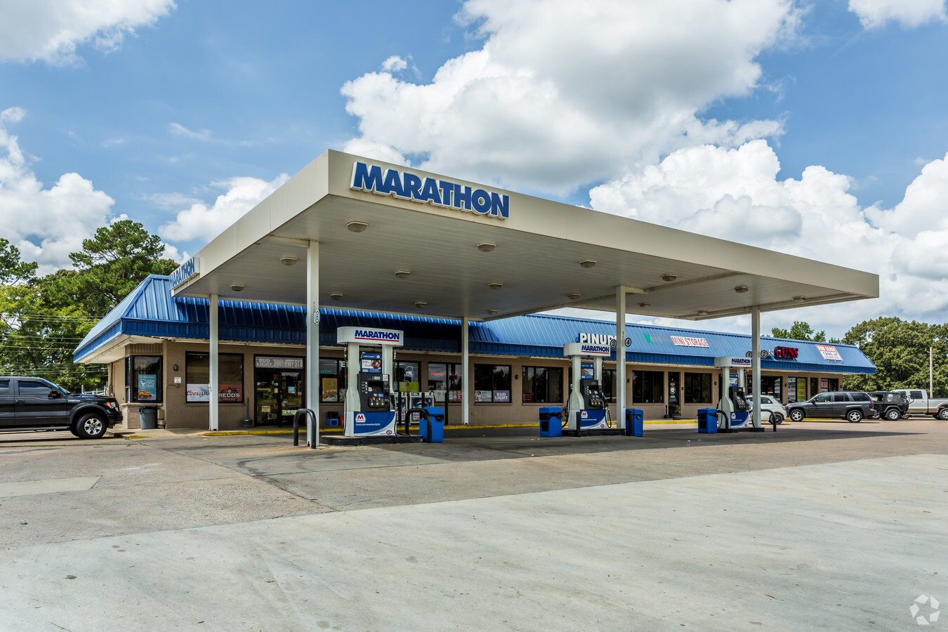
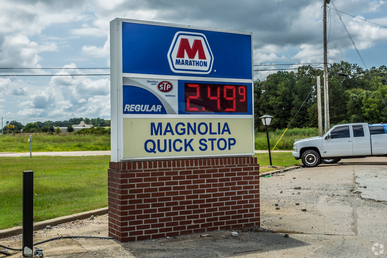
Property Record
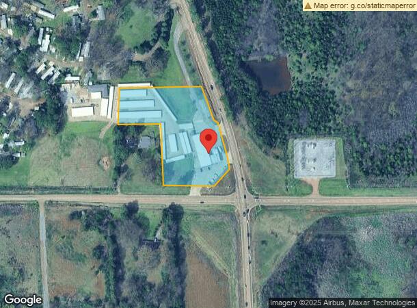
3003 Highway 51 N, Nesbit, MS 38651
NEARBY LISTINGS FOR SALE OR LEASE
Property Detail
3003 Highway 51 N
Memphis, TN-MS-AR
Sandy Place S/D
2086130000000302
E PT SW1/4 SW COR SE 1/4
Realpropertynec
DeSoto
X
Mississippi
28033C0090H
3
2024
3.90 AC
2024
Southaven-Horn Lake
070222
Memphis
7,500 SF
DEMOGRAPHICS near 3003 Highway 51 N
1 Mile
3 Mile
5 Mile
2024 Total Population
1,568
21,966
67,719
2029 Population
1,737
24,458
74,309
Pop Growth 2024-2029
+ 10.78%
+ 11.34%
+ 9.73%
Average Age
39
37
38
2024 Total Households
564
8,652
25,474
HH Growth 2024-2029
+ 10.64%
+ 11.51%
+ 9.82%
Median Household Inc
$85,129
$63,335
$65,062
Avg Household Size
2.70
2.50
2.60
2024 Avg HH Vehicles
2.00
2.00
2.00
Median Home Value
$275,925
$244,061
$229,136
Median Year Built
2003
1999
1996
Nearby Places
- Restaurants
- Banks
- Shops
- Fitness
- Groceries
PUBLIC TRANSPORTATION
AIRPORT
Memphis International
DRIVE
WALK
Distance
Memphis International
19 min
12.7 mi
Freight Ports
Port of Shreveport
DRIVE
WALK
Distance
Port of Shreveport
1 min
273.0 mi
SALE & LEASE HISTORY
LISTING DATE
SALE/LEASE

Sep 25, 2016
For Lease
Jul 21, 2020
For Lease
Jan 07, 2019
For Lease
Aug 31, 2018
For Lease
Nearby Properties
Address
Land Use
TOTAL SIZE
Lot Size
Zoning
Address
Land Use
TOTAL SIZE
Lot Size
Zoning
153.19 AC
M-1
Address
Land Use
TOTAL SIZE
Lot Size
Zoning
1,197,601 SF
59.47 AC
PBP
Address
Land Use
TOTAL SIZE
Lot Size
Zoning
73.05 AC
PBP
Address
Land Use
TOTAL SIZE
Lot Size
Zoning
948,020 SF
62.60 AC
PBP
Address
Land Use
TOTAL SIZE
Lot Size
Zoning
23,183 SF
33.02 AC
PUD
Address
Land Use
TOTAL SIZE
Lot Size
Zoning
843,202 SF
51 AC
PBP
Address
Land Use
TOTAL SIZE
Lot Size
Zoning
62,561 SF
33.01 AC
PUD
Address
Land Use
TOTAL SIZE
Lot Size
Zoning
864,768 SF
44.14 AC
PBP
Address
Land Use
TOTAL SIZE
Lot Size
Zoning
56.29 AC
PBP
Address
Land Use
TOTAL SIZE
Lot Size
Zoning
18,830 SF
25.45 AC
PUD
Address
Land Use
TOTAL SIZE
Lot Size
Zoning
586,092 SF
51.64 AC
PBP
Address
Land Use
TOTAL SIZE
Lot Size
Zoning
15,472 SF
25.97 AC
PUD
Address
Land Use
TOTAL SIZE
Lot Size
Zoning
14,122 SF
24 AC
PUD
Address
Land Use
TOTAL SIZE
Lot Size
Zoning
552,590 SF
36.77 AC
PBP
Address
Land Use
TOTAL SIZE
Lot Size
Zoning
397,766 SF
37.80 AC
PBP
Address
Land Use
TOTAL SIZE
Lot Size
Zoning
515,317 SF
35.91 AC
PBP
Address
Land Use
TOTAL SIZE
Lot Size
Zoning
332,605 SF
25.85 AC
PBP
Address
Land Use
TOTAL SIZE
Lot Size
Zoning
10,341 SF
13.94 AC
RM-6
Address
Land Use
TOTAL SIZE
Lot Size
Zoning
Address
Land Use
TOTAL SIZE
Lot Size
Zoning
330,598 SF
24.49 AC
PBP
Address
Land Use
TOTAL SIZE
Lot Size
Zoning
20,588 SF
14 AC
PUD
Address
Land Use
TOTAL SIZE
Lot Size
Zoning
301,448 SF
22.13 AC
PBP
Address
Land Use
TOTAL SIZE
Lot Size
Zoning
13,129 SF
12 AC
PUD
Address
Land Use
TOTAL SIZE
Lot Size
Zoning
318,409 SF
21.20 AC
PBP
Address
Land Use
TOTAL SIZE
Lot Size
Zoning
301,846 SF
20.86 AC
PBP
Address
Land Use
TOTAL SIZE
Lot Size
Zoning
21,151 SF
11.53 AC
PUD
Address
Land Use
TOTAL SIZE
Lot Size
Zoning
62,730 SF
10 AC
PUD
Address
Land Use
TOTAL SIZE
Lot Size
Zoning
217,427 SF
30 AC
PBP
Address
Land Use
TOTAL SIZE
Lot Size
Zoning
9,747 SF
5.36 AC
RM-6
Address
Land Use
TOTAL SIZE
Lot Size
Zoning
9,963 SF
7.25 AC
RM-6
The World's #1 Commercial Real Estate Marketplace
Connect with us
© 2025 CoStar Group
The information above has been obtained from sources believed reliable. While we do not doubt its accuracy we have not verified it and make no guarantee, warranty or representation about it. It is your responsibility to independently confirm its accuracy and completeness. Any projections, opinions, assumptions, or estimates used are for example only and do not represent the current or future performance of the property. The value of this transaction to you depends on tax and other factors which should be evaluated by your tax, financial, and legal advisors. You and your advisors should conduct a careful, independent investigation of the property to determine to your satisfaction the suitability of the property for your needs.