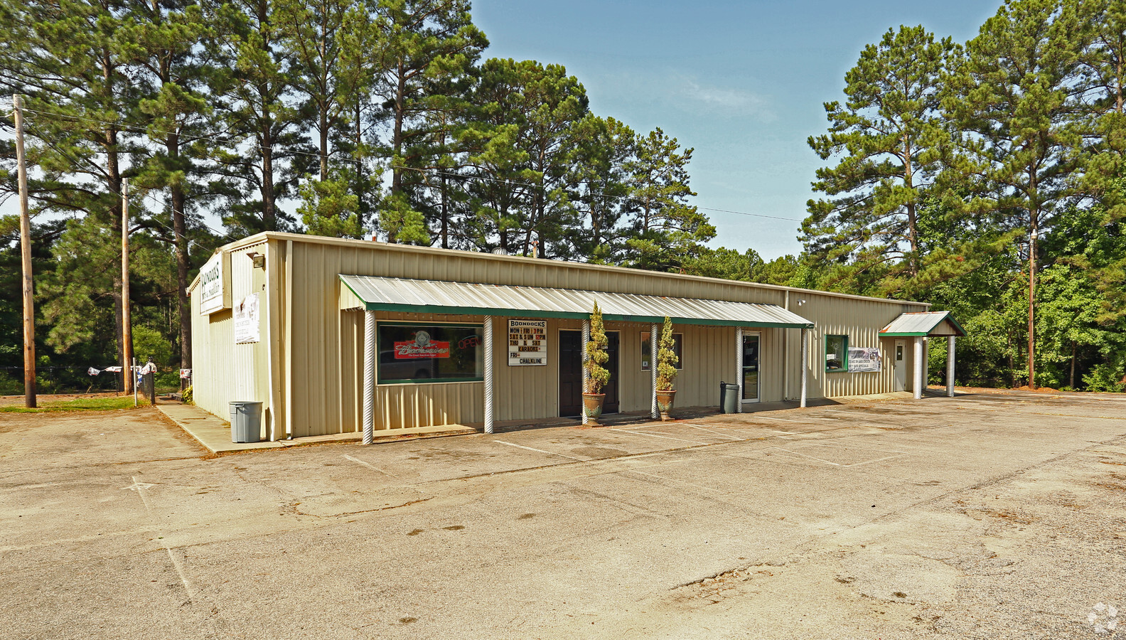
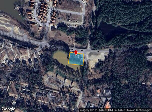
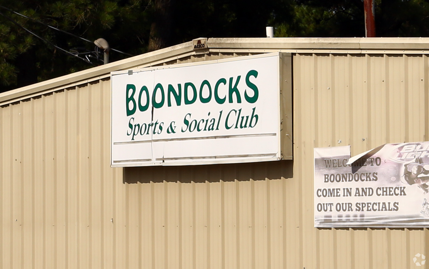
Property Record
3007 Highway 378, Gilbert, SC 29054
NEARBY LISTINGS FOR SALE OR LEASE
-
-
View all Gilbert listings for sale on LoopNet.com
Property Detail
3007 Highway 378
003000-03-001
PT TRACT 2 .03 HWY RW
Nightclub
Lexington
X
South Carolina
45063C0095J
0.65 AC
2024
Outlying Lexington County
2024
Columbia
021309
Columbia, SC
3,148 SF
DEMOGRAPHICS near 3007 Highway 378
1 Mile
3 Mile
5 Mile
2024 Total Population
918
4,927
12,575
2029 Population
1,012
5,448
13,862
Pop Growth 2024-2029
+ 10.24%
+ 10.57%
+ 10.23%
Average Age
47
47
46
2024 Total Households
396
2,081
5,100
HH Growth 2024-2029
+ 10.61%
+ 10.76%
+ 10.33%
Median Household Inc
$79,167
$89,166
$90,529
Avg Household Size
2.30
2.40
2.40
2024 Avg HH Vehicles
3.00
2.00
3.00
Median Home Value
$257,926
$319,265
$322,495
Median Year Built
1994
1996
1997
Nearby Places
- Restaurants
- Banks
- Shops
- Fitness
- Groceries
PUBLIC TRANSPORTATION
AIRPORT
Columbia Metro
DRIVE
WALK
Distance
Columbia Metro
44 min
23.9 mi
Freight Ports
North Charleston Terminal
DRIVE
WALK
Distance
North Charleston Terminal
145 min
121.8 mi
Nearby Properties
Address
Land Use
TOTAL SIZE
Lot Size
Zoning
Address
Land Use
TOTAL SIZE
Lot Size
Zoning
24,000 SF
4.61 AC
ID
Address
Land Use
TOTAL SIZE
Lot Size
Zoning
9,090 SF
2.15 AC
ID
Address
Land Use
TOTAL SIZE
Lot Size
Zoning
5,145 SF
2 AC
ID
Address
Land Use
TOTAL SIZE
Lot Size
Zoning
1,712 SF
4.65 AC
ID
Address
Land Use
TOTAL SIZE
Lot Size
Zoning
750 SF
1.59 AC
LR
Address
Land Use
TOTAL SIZE
Lot Size
Zoning
7,960 SF
2.71 AC
ID
Address
Land Use
TOTAL SIZE
Lot Size
Zoning
19,336 SF
1.31 AC
ID
Address
Land Use
TOTAL SIZE
Lot Size
Zoning
11,615 SF
1.11 AC
ID
Address
Land Use
TOTAL SIZE
Lot Size
Zoning
960 SF
3.17 AC
ID
Address
Land Use
TOTAL SIZE
Lot Size
Zoning
3,570 SF
0.39 AC
ID
Address
Land Use
TOTAL SIZE
Lot Size
Zoning
1,604 SF
0.32 AC
RD
Address
Land Use
TOTAL SIZE
Lot Size
Zoning
5,050 SF
0.38 AC
RD
Address
Land Use
TOTAL SIZE
Lot Size
Zoning
3,007 SF
0.38 AC
RD
Address
Land Use
TOTAL SIZE
Lot Size
Zoning
2,252 SF
3.33 AC
LR
Address
Land Use
TOTAL SIZE
Lot Size
Zoning
5,000 SF
2.37 AC
ID
Address
Land Use
TOTAL SIZE
Lot Size
Zoning
3,057 SF
0.33 AC
RD
Address
Land Use
TOTAL SIZE
Lot Size
Zoning
4,122 SF
1.35 AC
Address
Land Use
TOTAL SIZE
Lot Size
Zoning
1.60 AC
ID
Address
Land Use
TOTAL SIZE
Lot Size
Zoning
4,134 SF
14.70 AC
RD
Address
Land Use
TOTAL SIZE
Lot Size
Zoning
6,498 SF
32.50 AC
RD
Address
Land Use
TOTAL SIZE
Lot Size
Zoning
0.56 AC
RD
Address
Land Use
TOTAL SIZE
Lot Size
Zoning
3,000 SF
3.51 AC
ID
Address
Land Use
TOTAL SIZE
Lot Size
Zoning
3.27 AC
RD
Address
Land Use
TOTAL SIZE
Lot Size
Zoning
560 SF
RD
Address
Land Use
TOTAL SIZE
Lot Size
Zoning
1,673 SF
1.79 AC
ID
Address
Land Use
TOTAL SIZE
Lot Size
Zoning
3,094 SF
0.49 AC
RD
Address
Land Use
TOTAL SIZE
Lot Size
Zoning
0.87 AC
RD
Address
Land Use
TOTAL SIZE
Lot Size
Zoning
1,848 SF
0.74 AC
RD
Address
Land Use
TOTAL SIZE
Lot Size
Zoning
5.48 AC
LR
Address
Land Use
TOTAL SIZE
Lot Size
Zoning
0.63 AC
RD
The World's #1 Commercial Real Estate Marketplace
Connect with us
© 2025 CoStar Group
The information above has been obtained from sources believed reliable. While we do not doubt its accuracy we have not verified it and make no guarantee, warranty or representation about it. It is your responsibility to independently confirm its accuracy and completeness. Any projections, opinions, assumptions, or estimates used are for example only and do not represent the current or future performance of the property. The value of this transaction to you depends on tax and other factors which should be evaluated by your tax, financial, and legal advisors. You and your advisors should conduct a careful, independent investigation of the property to determine to your satisfaction the suitability of the property for your needs.