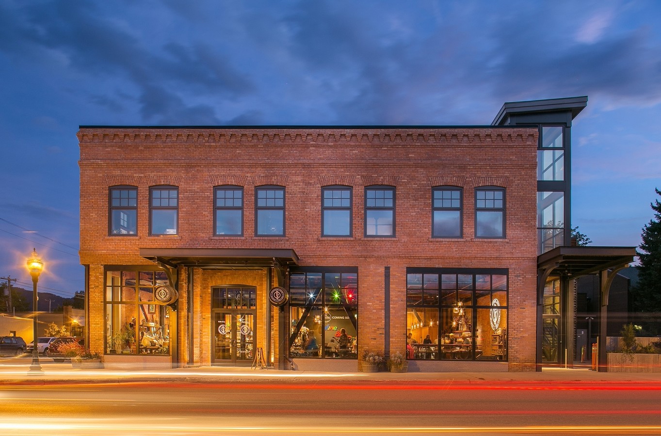
Property Record
301 Cedar St, Sandpoint, ID 83864
NEARBY LISTINGS FOR SALE OR LEASE
Property Detail
301 Cedar St
Sandpoint, ID
Sandpoint
RPS03-890-02001BA
22-57N-2W SANDPOINT ORIG BLK 2 N 120FT OF LOT 1 & 2 & TAX 7 301 BELWOOD
Commercialnec
Bonner
X
Idaho
16017C0718E
1-2
2024
0.22 AC
2024
Bonner
950300
Coeur D'Alene
22,623 SF
DEMOGRAPHICS near 301 Cedar St
1 Mile
3 Mile
5 Mile
2024 Total Population
6,811
15,241
21,552
2029 Population
8,378
18,668
26,394
Pop Growth 2024-2029
+ 23.01%
+ 22.49%
+ 22.47%
Average Age
42
43
43
2024 Total Households
3,043
6,565
9,088
HH Growth 2024-2029
+ 22.81%
+ 22.22%
+ 22.19%
Median Household Inc
$56,416
$57,584
$61,103
Avg Household Size
2.20
2.20
2.30
2024 Avg HH Vehicles
2.00
2.00
2.00
Median Home Value
$365,862
$391,133
$402,206
Median Year Built
1980
1992
1992
Nearby Places
- Restaurants
- Banks
- Shops
- Fitness
- Groceries
PUBLIC TRANSPORTATION
COMMUTER RAIL
Sandpoint Amtrak (Empire Builder - Amtrak)
DRIVE
WALK
Distance
Sandpoint Amtrak (Empire Builder - Amtrak)
3 min
4 min
0.2 mi
Freight Ports
Port of Everett
DRIVE
WALK
Distance
Port of Everett
427 min
372.9 mi
SALE & LEASE HISTORY
LISTING DATE
SALE/LEASE

Sep 25, 2016
For Lease
Dec 18, 2018
For Lease
Nearby Properties
Address
Land Use
TOTAL SIZE
Lot Size
Zoning
Address
Land Use
TOTAL SIZE
Lot Size
Zoning
3.84 AC
Address
Land Use
TOTAL SIZE
Lot Size
Zoning
66,673 SF
3.17 AC
Address
Land Use
TOTAL SIZE
Lot Size
Zoning
Address
Land Use
TOTAL SIZE
Lot Size
Zoning
4,413 SF
3.90 AC
Address
Land Use
TOTAL SIZE
Lot Size
Zoning
4,413 SF
4.79 AC
Address
Land Use
TOTAL SIZE
Lot Size
Zoning
86,100 SF
1.79 AC
Address
Land Use
TOTAL SIZE
Lot Size
Zoning
49,500 SF
16.53 AC
Address
Land Use
TOTAL SIZE
Lot Size
Zoning
35,708 SF
2.47 AC
Address
Land Use
TOTAL SIZE
Lot Size
Zoning
156,891 SF
14.84 AC
Address
Land Use
TOTAL SIZE
Lot Size
Zoning
1,306 SF
3.05 AC
Address
Land Use
TOTAL SIZE
Lot Size
Zoning
29,154 SF
3.80 AC
Address
Land Use
TOTAL SIZE
Lot Size
Zoning
59,232 SF
5.26 AC
Address
Land Use
TOTAL SIZE
Lot Size
Zoning
51,801 SF
2.37 AC
Address
Land Use
TOTAL SIZE
Lot Size
Zoning
53,580 SF
5.63 AC
Address
Land Use
TOTAL SIZE
Lot Size
Zoning
38,980 SF
2.71 AC
Address
Land Use
TOTAL SIZE
Lot Size
Zoning
106,375 SF
11.87 AC
Address
Land Use
TOTAL SIZE
Lot Size
Zoning
16,462 SF
1.63 AC
Address
Land Use
TOTAL SIZE
Lot Size
Zoning
32,130 SF
4.33 AC
Address
Land Use
TOTAL SIZE
Lot Size
Zoning
88,699 SF
6.93 AC
Address
Land Use
TOTAL SIZE
Lot Size
Zoning
20,396 SF
1.40 AC
Address
Land Use
TOTAL SIZE
Lot Size
Zoning
17,828 SF
1.21 AC
Address
Land Use
TOTAL SIZE
Lot Size
Zoning
33,287 SF
8.05 AC
Address
Land Use
TOTAL SIZE
Lot Size
Zoning
38,496 SF
6.63 AC
Address
Land Use
TOTAL SIZE
Lot Size
Zoning
3.30 AC
Address
Land Use
TOTAL SIZE
Lot Size
Zoning
0.83 AC
Address
Land Use
TOTAL SIZE
Lot Size
Zoning
3,600 SF
2.32 AC
Address
Land Use
TOTAL SIZE
Lot Size
Zoning
12,288 SF
1.14 AC
Address
Land Use
TOTAL SIZE
Lot Size
Zoning
12,288 SF
1.06 AC
Address
Land Use
TOTAL SIZE
Lot Size
Zoning
20,720 SF
2.86 AC
Address
Land Use
TOTAL SIZE
Lot Size
Zoning
20,074 SF
1 AC
The World's #1 Commercial Real Estate Marketplace
Connect with us
© 2025 CoStar Group
The information above has been obtained from sources believed reliable. While we do not doubt its accuracy we have not verified it and make no guarantee, warranty or representation about it. It is your responsibility to independently confirm its accuracy and completeness. Any projections, opinions, assumptions, or estimates used are for example only and do not represent the current or future performance of the property. The value of this transaction to you depends on tax and other factors which should be evaluated by your tax, financial, and legal advisors. You and your advisors should conduct a careful, independent investigation of the property to determine to your satisfaction the suitability of the property for your needs.