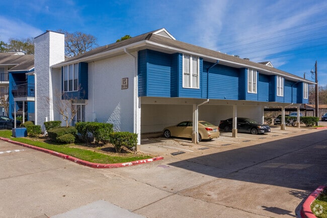
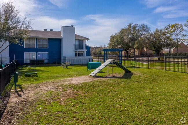
Property Record
301 Wilcrest Dr, Houston, TX 77042

NEARBY LISTINGS FOR SALE OR LEASE
Property Detail
301 Wilcrest Dr
0451380010056
Abst 834 E Williams
Apartment
TRS 4B-2 4P & 4Q & 4Q-1 ABST 834 E WILLIAMS
AE
Harris
48201C0640M
Texas
2024
32.37 AC
2025
Briar Forest
450801
Houston
845,371 SF
Houston-The Woodlands-Sugar Land, TX
DEMOGRAPHICS near 301 Wilcrest Dr
1 Mile
3 Mile
5 Mile
2024 Total Population
17,955
172,207
414,746
2029 Population
18,499
176,610
424,652
Pop Growth 2024-2029
+ 3.03%
+ 2.56%
+ 2.39%
Average Age
37
37
37
2024 Total Households
7,008
75,221
168,236
HH Growth 2024-2029
+ 2.90%
+ 2.52%
+ 2.39%
Median Household Inc
$81,823
$62,981
$55,801
Avg Household Size
2.50
2.20
2.40
2024 Avg HH Vehicles
2.00
2.00
2.00
Median Home Value
$476,802
$408,039
$343,143
Median Year Built
1977
1983
1982
Nearby Places
Map Layers
Map Styles
 Street
 Aerial
- Restaurants
- Banks
- Shops
- Fitness
- Groceries
PUBLIC TRANSPORTATION
AIRPORT
William P Hobby
DRIVE
WALK
Distance
William P Hobby
43 min
28.1 mi
George Bush Intcntl/Houston
DRIVE
WALK
Distance
George Bush Intcntl/Houston
38 min
29.5 mi
Freight Ports
Port of Houston
DRIVE
WALK
Distance
Port of Houston
37 min
24.8 mi
SALE & LEASE HISTORY
LISTING DATE
SALE/LEASE

Aug 06, 2019
For Sale
Nearby Properties
Address
Land Use
TOTAL SIZE
Lot Size
Zoning
Address
Land Use
TOTAL SIZE
Lot Size
Zoning
2,976,779 SF
41.36 AC
Address
Land Use
TOTAL SIZE
Lot Size
Zoning
2,198,376 SF
14.18 AC
Address
Land Use
TOTAL SIZE
Lot Size
Zoning
935,613 SF
27.93 AC
Address
Land Use
TOTAL SIZE
Lot Size
Zoning
797,516 SF
2.91 AC
Address
Land Use
TOTAL SIZE
Lot Size
Zoning
797,509 SF
3.11 AC
Address
Land Use
TOTAL SIZE
Lot Size
Zoning
730,107 SF
2.92 AC
Address
Land Use
TOTAL SIZE
Lot Size
Zoning
730,107 SF
2.57 AC
Address
Land Use
TOTAL SIZE
Lot Size
Zoning
955,731 SF
3.40 AC
Address
Land Use
TOTAL SIZE
Lot Size
Zoning
542,880 SF
1.22 AC
Address
Land Use
TOTAL SIZE
Lot Size
Zoning
743,954 SF
2.97 AC
Address
Land Use
TOTAL SIZE
Lot Size
Zoning
1,020,766 SF
3.08 AC
Address
Land Use
TOTAL SIZE
Lot Size
Zoning
1,082,545 SF
7.22 AC
Address
Land Use
TOTAL SIZE
Lot Size
Zoning
683,397 SF
2.97 AC
Address
Land Use
TOTAL SIZE
Lot Size
Zoning
569,641 SF
5.69 AC
Address
Land Use
TOTAL SIZE
Lot Size
Zoning
306,572 SF
25.46 AC
Address
Land Use
TOTAL SIZE
Lot Size
Zoning
507,014 SF
2.93 AC
Address
Land Use
TOTAL SIZE
Lot Size
Zoning
430,096 SF
18.99 AC
Address
Land Use
TOTAL SIZE
Lot Size
Zoning
690,519 SF
26.57 AC
Address
Land Use
TOTAL SIZE
Lot Size
Zoning
1,053,492 SF
9.34 AC
Address
Land Use
TOTAL SIZE
Lot Size
Zoning
878,129 SF
11.69 AC
Address
Land Use
TOTAL SIZE
Lot Size
Zoning
357,280 SF
1.72 AC
Address
Land Use
TOTAL SIZE
Lot Size
Zoning
794,526 SF
21.25 AC
Address
Land Use
TOTAL SIZE
Lot Size
Zoning
1,172,310 SF
8.17 AC
Address
Land Use
TOTAL SIZE
Lot Size
Zoning
656,741 SF
1.88 AC
Address
Land Use
TOTAL SIZE
Lot Size
Zoning
686,506 SF
1.56 AC
Address
Land Use
TOTAL SIZE
Lot Size
Zoning
320,534 SF
2.32 AC
Address
Land Use
TOTAL SIZE
Lot Size
Zoning
422,801 SF
12.71 AC
Address
Land Use
TOTAL SIZE
Lot Size
Zoning
520,277 SF
10.04 AC
Address
Land Use
TOTAL SIZE
Lot Size
Zoning
207,841 SF
1.19 AC
Address
Land Use
TOTAL SIZE
Lot Size
Zoning
845,902 SF
16.27 AC
The World's #1 Commercial Real Estate Marketplace
Connect with us
© 2025 CoStar Group
The information above has been obtained from sources believed reliable. While we do not doubt its accuracy we have not verified it and make no guarantee, warranty or representation about it. It is your responsibility to independently confirm its accuracy and completeness. Any projections, opinions, assumptions, or estimates used are for example only and do not represent the current or future performance of the property. The value of this transaction to you depends on tax and other factors which should be evaluated by your tax, financial, and legal advisors. You and your advisors should conduct a careful, independent investigation of the property to determine to your satisfaction the suitability of the property for your needs.