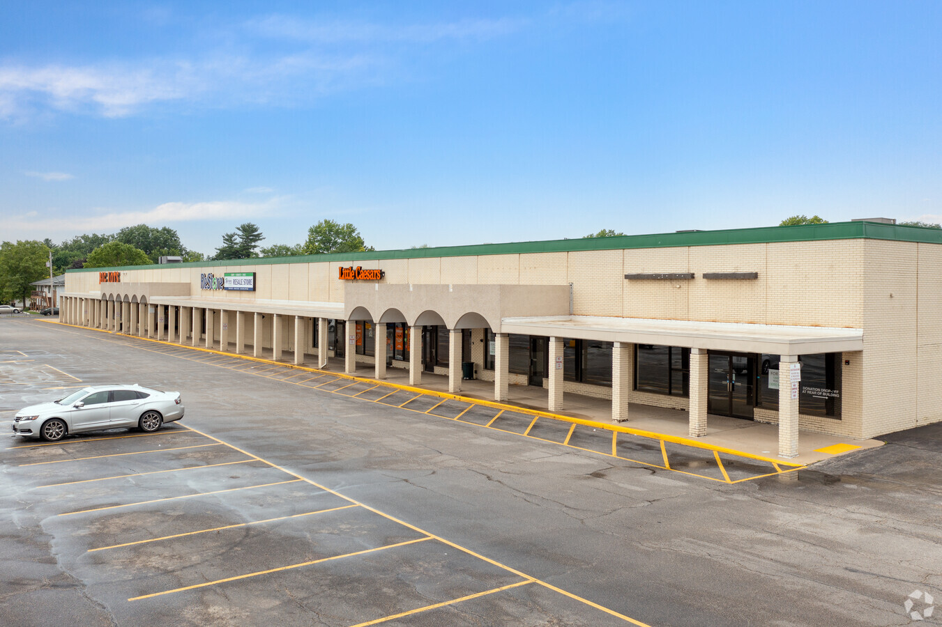
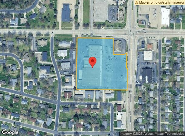
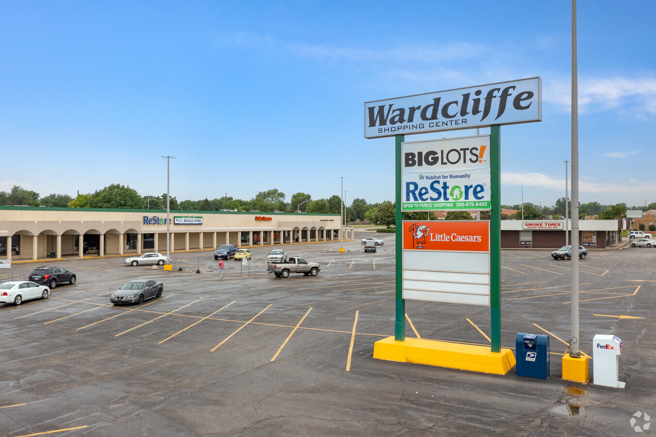
Property Record
3013 N Sterling Ave, Peoria, IL 61604
NEARBY LISTINGS FOR SALE OR LEASE
Property Detail
3013 N Sterling Ave
Peoria, IL
NW 1/4 SEC 31-9-8E 5.137 AC (97-35348) BEG 50 W & 100 S OF NE COR NW 1/4 SEC 31: TH S 455.8 W 498.53 N 503.34 E 458.5 SE 64.9 TO POB (EXC BE G ABOVE DESC POB: TH 90 SW 46.07 W 100 N 158.8 E 100.5
14-31-131-005
Peoria
Commercialnec
Illinois
2023
5.14 AC
2023
South Peoria
002701
Peoria
DEMOGRAPHICS near 3013 N Sterling Ave
1 Mile
3 Mile
5 Mile
2024 Total Population
9,309
72,141
122,308
2029 Population
8,980
70,726
120,055
Pop Growth 2024-2029
(3.53%)
(1.96%)
(1.84%)
Average Age
41
39
39
2024 Total Households
4,124
30,790
52,309
HH Growth 2024-2029
(3.86%)
(2.19%)
(2.09%)
Median Household Inc
$48,130
$47,187
$48,636
Avg Household Size
2.10
2.20
2.20
2024 Avg HH Vehicles
1.00
1.00
1.00
Median Home Value
$98,528
$107,603
$116,142
Median Year Built
1963
1956
1960
Nearby Places
- Restaurants
- Banks
- Shops
- Fitness
- Groceries
PUBLIC TRANSPORTATION
AIRPORT
General Downing - Peoria International
DRIVE
WALK
Distance
General Downing - Peoria International
15 min
7.2 mi
Freight Ports
Port Milwaukee
DRIVE
WALK
Distance
Port Milwaukee
269 min
226.7 mi
SALE & LEASE HISTORY
LISTING DATE
SALE/LEASE

May 23, 2017
For Sale
Jul 12, 2017
For Sale
Nearby Properties
Address
Land Use
TOTAL SIZE
Lot Size
Zoning
Address
Land Use
TOTAL SIZE
Lot Size
Zoning
47.89 AC
Address
Land Use
TOTAL SIZE
Lot Size
Zoning
20.08 AC
Address
Land Use
TOTAL SIZE
Lot Size
Zoning
Address
Land Use
TOTAL SIZE
Lot Size
Zoning
6.05 AC
Address
Land Use
TOTAL SIZE
Lot Size
Zoning
0.57 AC
Address
Land Use
TOTAL SIZE
Lot Size
Zoning
18.07 AC
Address
Land Use
TOTAL SIZE
Lot Size
Zoning
0.22 AC
Address
Land Use
TOTAL SIZE
Lot Size
Zoning
1.32 AC
Address
Land Use
TOTAL SIZE
Lot Size
Zoning
5.50 AC
Address
Land Use
TOTAL SIZE
Lot Size
Zoning
16.70 AC
Address
Land Use
TOTAL SIZE
Lot Size
Zoning
Address
Land Use
TOTAL SIZE
Lot Size
Zoning
20.51 AC
Address
Land Use
TOTAL SIZE
Lot Size
Zoning
Address
Land Use
TOTAL SIZE
Lot Size
Zoning
18.21 AC
Address
Land Use
TOTAL SIZE
Lot Size
Zoning
Address
Land Use
TOTAL SIZE
Lot Size
Zoning
0.57 AC
Address
Land Use
TOTAL SIZE
Lot Size
Zoning
25.71 AC
Address
Land Use
TOTAL SIZE
Lot Size
Zoning
9.40 AC
Address
Land Use
TOTAL SIZE
Lot Size
Zoning
2.68 AC
Address
Land Use
TOTAL SIZE
Lot Size
Zoning
10.89 AC
Address
Land Use
TOTAL SIZE
Lot Size
Zoning
Address
Land Use
TOTAL SIZE
Lot Size
Zoning
Address
Land Use
TOTAL SIZE
Lot Size
Zoning
0.94 AC
Address
Land Use
TOTAL SIZE
Lot Size
Zoning
5.01 AC
Address
Land Use
TOTAL SIZE
Lot Size
Zoning
5.81 AC
Address
Land Use
TOTAL SIZE
Lot Size
Zoning
11.78 AC
Address
Land Use
TOTAL SIZE
Lot Size
Zoning
10.11 AC
Address
Land Use
TOTAL SIZE
Lot Size
Zoning
5.73 AC
Address
Land Use
TOTAL SIZE
Lot Size
Zoning
6.27 AC
Address
Land Use
TOTAL SIZE
Lot Size
Zoning
11.79 AC
The World's #1 Commercial Real Estate Marketplace
Connect with us
© 2025 CoStar Group
The information above has been obtained from sources believed reliable. While we do not doubt its accuracy we have not verified it and make no guarantee, warranty or representation about it. It is your responsibility to independently confirm its accuracy and completeness. Any projections, opinions, assumptions, or estimates used are for example only and do not represent the current or future performance of the property. The value of this transaction to you depends on tax and other factors which should be evaluated by your tax, financial, and legal advisors. You and your advisors should conduct a careful, independent investigation of the property to determine to your satisfaction the suitability of the property for your needs.