Property Record
308 Malcolm X Blvd, Brooklyn, NY 11233
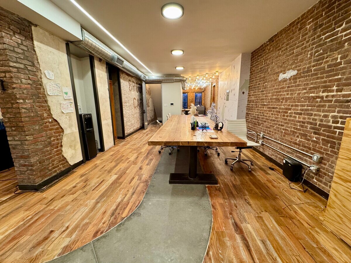


Current Lease Availabilities
NEARBY LISTINGS FOR SALE OR LEASE
Property Detail
308 Malcolm X Blvd
01676-0045
Kings
Commercialofficeresidentialmixeduse
New York
X
45
3604970216F
0.03 AC
2024
North Brooklyn
2024
Long Island (New York)
030100
New York-Jersey City-White Plains, NY-NJ
3,589 SF
DEMOGRAPHICS near 308 Malcolm X Blvd
1 Mile
3 Mile
5 Mile
2024 Total Population
175,714
1,247,476
2,778,186
2029 Population
164,303
1,174,481
2,601,565
Pop Growth 2024-2029
(6.49%)
(5.85%)
(6.36%)
Average Age
38
37
39
2024 Total Households
68,332
471,843
1,069,953
HH Growth 2024-2029
(7.09%)
(6.25%)
(6.61%)
Median Household Inc
$59,413
$68,185
$76,065
Avg Household Size
2.40
2.50
2.50
2024 Avg HH Vehicles
.00
.00
1.00
Median Home Value
$1,007,727
$853,052
$818,016
Median Year Built
1947
1948
1949
Nearby Places
- Restaurants
- Banks
- Shops
- Fitness
- Groceries
PUBLIC TRANSPORTATION
TRANSIT/SUBWAY
Utica Avenue (A - New York MTA Subway (The Subway), C - New York MTA Subway (The Subway))
DRIVE
WALK
Distance
Utica Avenue (A - New York MTA Subway (The Subway), C - New York MTA Subway (The Subway))
1 min
5 min
0.3 mi
Ralph Avenue (A - New York MTA Subway (The Subway), C - New York MTA Subway (The Subway))
DRIVE
WALK
Distance
Ralph Avenue (A - New York MTA Subway (The Subway), C - New York MTA Subway (The Subway))
2 min
11 min
0.6 mi
Kingston-Throop Avenues (A - New York MTA Subway (The Subway), C - New York MTA Subway (The Subway))
DRIVE
WALK
Distance
Kingston-Throop Avenues (A - New York MTA Subway (The Subway), C - New York MTA Subway (The Subway))
2 min
13 min
0.7 mi
Halsey Street (J Line) (J - New York MTA Subway (The Subway))
DRIVE
WALK
Distance
Halsey Street (J Line) (J - New York MTA Subway (The Subway))
3 min
16 min
0.9 mi
Gates Avenue (J - New York MTA Subway (The Subway), Z - New York MTA Subway (The Subway))
DRIVE
WALK
Distance
Gates Avenue (J - New York MTA Subway (The Subway), Z - New York MTA Subway (The Subway))
3 min
16 min
0.9 mi
COMMUTER RAIL
Nostrand Avenue Station (Far Rockaway Branch - Long Island Rail Road, Hempstead Branch - Long Island Rail Road, Long Beach Branch - Long Island Rail Road, West Hempstead Branch - Long Island Rail Road)
DRIVE
WALK
Distance
Nostrand Avenue Station (Far Rockaway Branch - Long Island Rail Road, Hempstead Branch - Long Island Rail Road, Long Beach Branch - Long Island Rail Road, West Hempstead Branch - Long Island Rail Road)
4 min
1.4 mi
East New York Station (Far Rockaway Branch - Long Island Rail Road, Long Beach Branch - Long Island Rail Road, West Hempstead Branch - Long Island Rail Road)
DRIVE
WALK
Distance
East New York Station (Far Rockaway Branch - Long Island Rail Road, Long Beach Branch - Long Island Rail Road, West Hempstead Branch - Long Island Rail Road)
5 min
1.9 mi
AIRPORT
Laguardia
DRIVE
WALK
Distance
Laguardia
20 min
9.2 mi
John F Kennedy International
DRIVE
WALK
Distance
John F Kennedy International
20 min
10.3 mi
Newark Liberty International
DRIVE
WALK
Distance
Newark Liberty International
32 min
17.8 mi
Freight Ports
NY - Red Hook Container Terminal
DRIVE
WALK
Distance
NY - Red Hook Container Terminal
14 min
4.8 mi
Nearby Properties
Address
Land Use
TOTAL SIZE
Lot Size
Zoning
Address
Land Use
TOTAL SIZE
Lot Size
Zoning
2,812,739 SF
2.10 AC
C5-3
Address
Land Use
TOTAL SIZE
Lot Size
Zoning
1,503,150 SF
20.47 AC
R5
Address
Land Use
TOTAL SIZE
Lot Size
Zoning
393.54 AC
PARK
Address
Land Use
TOTAL SIZE
Lot Size
Zoning
577,381 SF
3.19 AC
R6
Address
Land Use
TOTAL SIZE
Lot Size
Zoning
1,330,743 SF
2.20 AC
C6-4
Address
Land Use
TOTAL SIZE
Lot Size
Zoning
296,915 SF
0.31 AC
C5-3
Address
Land Use
TOTAL SIZE
Lot Size
Zoning
383,249 SF
1.32 AC
R6
Address
Land Use
TOTAL SIZE
Lot Size
Zoning
835,231 SF
11.32 AC
R6
Address
Land Use
TOTAL SIZE
Lot Size
Zoning
1,061,228 SF
8.86 AC
R5
Address
Land Use
TOTAL SIZE
Lot Size
Zoning
579,404 SF
11.20 AC
R6
Address
Land Use
TOTAL SIZE
Lot Size
Zoning
790,392 SF
0.74 AC
M1-1
Address
Land Use
TOTAL SIZE
Lot Size
Zoning
561,945 SF
11.58 AC
R6
Address
Land Use
TOTAL SIZE
Lot Size
Zoning
662,532 SF
1.21 AC
C6-4
Address
Land Use
TOTAL SIZE
Lot Size
Zoning
370,363 SF
0.34 AC
C6-4
Address
Land Use
TOTAL SIZE
Lot Size
Zoning
667,250 SF
1.06 AC
C64.5
Address
Land Use
TOTAL SIZE
Lot Size
Zoning
629,064 SF
0.99 AC
C6-4
Address
Land Use
TOTAL SIZE
Lot Size
Zoning
472,115 SF
0.49 AC
C64.5
Address
Land Use
TOTAL SIZE
Lot Size
Zoning
600,000 SF
2.51 AC
R6B
Address
Land Use
TOTAL SIZE
Lot Size
Zoning
566,000 SF
12.33 AC
R6
Address
Land Use
TOTAL SIZE
Lot Size
Zoning
370,789 SF
0.45 AC
R6B
Address
Land Use
TOTAL SIZE
Lot Size
Zoning
767,750 SF
3.78 AC
C6-4
Address
Land Use
TOTAL SIZE
Lot Size
Zoning
304,080 SF
5.17 AC
M1-2
Address
Land Use
TOTAL SIZE
Lot Size
Zoning
389,125 SF
3.48 AC
C6-4
Address
Land Use
TOTAL SIZE
Lot Size
Zoning
337,880 SF
0.71 AC
R7-2
Address
Land Use
TOTAL SIZE
Lot Size
Zoning
1,572,198 SF
22.06 AC
M1-2
Address
Land Use
TOTAL SIZE
Lot Size
Zoning
710,746 SF
1.88 AC
C63A
Address
Land Use
TOTAL SIZE
Lot Size
Zoning
427,208 SF
1.30 AC
R6
Address
Land Use
TOTAL SIZE
Lot Size
Zoning
511,776 SF
2.33 AC
R6
Address
Land Use
TOTAL SIZE
Lot Size
Zoning
543,250 SF
1.84 AC
R7-3
Address
Land Use
TOTAL SIZE
Lot Size
Zoning
335,000 SF
3.95 AC
R6
The World's #1 Commercial Real Estate Marketplace
Connect with us
© 2025 CoStar Group
The information above has been obtained from sources believed reliable. While we do not doubt its accuracy we have not verified it and make no guarantee, warranty or representation about it. It is your responsibility to independently confirm its accuracy and completeness. Any projections, opinions, assumptions, or estimates used are for example only and do not represent the current or future performance of the property. The value of this transaction to you depends on tax and other factors which should be evaluated by your tax, financial, and legal advisors. You and your advisors should conduct a careful, independent investigation of the property to determine to your satisfaction the suitability of the property for your needs.