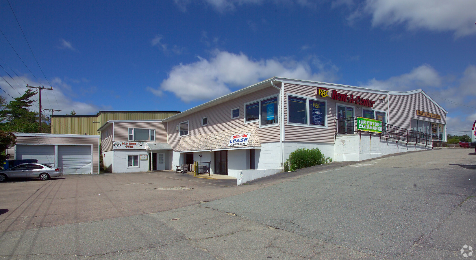
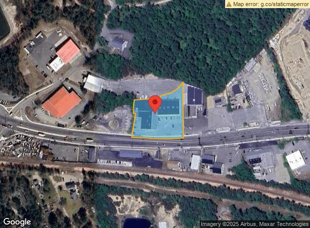
Property Record
3086 Cranberry Hwy, Buzzards Bay, MA 02532
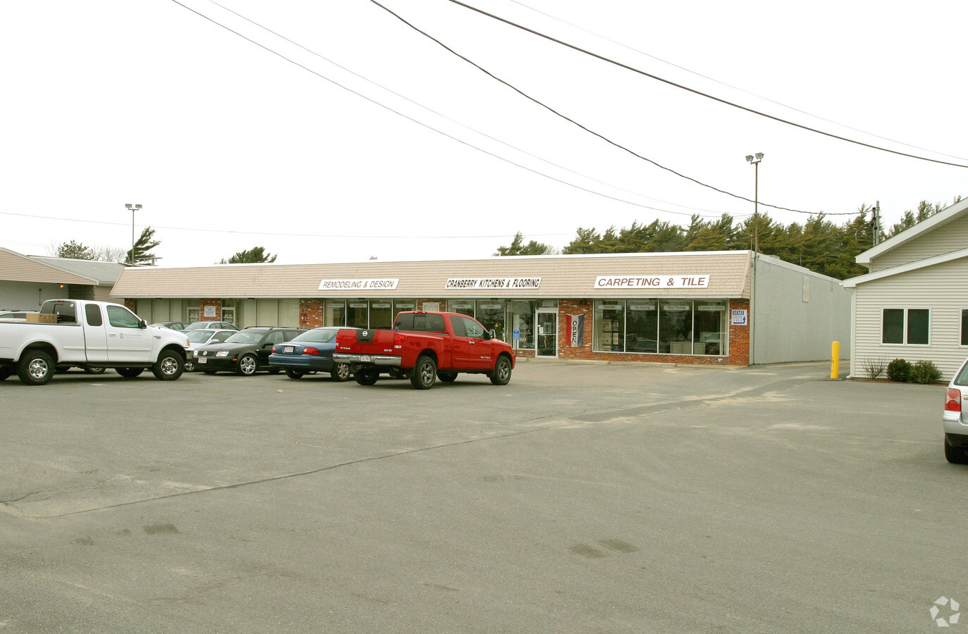
NEARBY LISTINGS FOR SALE OR LEASE
Property Detail
3086 Cranberry Hwy
WARE-000131-000000-L000000-C000026
Plymouth
Commercialnec
Massachusetts
X
lc26
25023C0494K
1.50 AC
2025
Route 3 South
2025
Boston
5452003056
Boston-Cambridge-Newton, MA-NH
DEMOGRAPHICS near 3086 Cranberry Hwy
1 Mile
3 Mile
5 Mile
2024 Total Population
2,927
19,251
37,572
2029 Population
2,910
19,459
38,141
Pop Growth 2024-2029
(0.58%)
+ 1.08%
+ 1.51%
Average Age
48
45
45
2024 Total Households
1,392
7,882
15,790
HH Growth 2024-2029
(0.72%)
+ 0.79%
+ 1.34%
Median Household Inc
$67,052
$75,290
$77,350
Avg Household Size
2.10
2.20
2.20
2024 Avg HH Vehicles
2.00
2.00
2.00
Median Home Value
$380,237
$400,710
$413,000
Median Year Built
1954
1958
1967
Nearby Places
- Restaurants
- Banks
- Shops
- Fitness
- Groceries
PUBLIC TRANSPORTATION
COMMUTER RAIL
Buzzards Bay (CapeFLYER - Cape Cod Regional Transit Authority)
DRIVE
WALK
Distance
Buzzards Bay (CapeFLYER - Cape Cod Regional Transit Authority)
4 min
1.9 mi
Bourne (CapeFLYER - Cape Cod Regional Transit Authority)
DRIVE
WALK
Distance
Bourne (CapeFLYER - Cape Cod Regional Transit Authority)
8 min
4.0 mi
AIRPORT
Martha's Vineyard
DRIVE
WALK
Distance
Martha's Vineyard
97 min
35.2 mi
Freight Ports
Port of New Bedford Harbor
DRIVE
WALK
Distance
Port of New Bedford Harbor
31 min
21.4 mi
SALE & LEASE HISTORY
LISTING DATE
SALE/LEASE

Feb 08, 2017
For Lease
Nearby Properties
Address
Land Use
TOTAL SIZE
Lot Size
Zoning
Address
Land Use
TOTAL SIZE
Lot Size
Zoning
64,972 SF
32 AC
R40
Address
Land Use
TOTAL SIZE
Lot Size
Zoning
18.82 AC
R40
Address
Land Use
TOTAL SIZE
Lot Size
Zoning
7,500 SF
269.51 AC
R40
Address
Land Use
TOTAL SIZE
Lot Size
Zoning
167,599 SF
0.34 AC
Address
Land Use
TOTAL SIZE
Lot Size
Zoning
154,996 SF
3.95 AC
Address
Land Use
TOTAL SIZE
Lot Size
Zoning
19.77 AC
Address
Land Use
TOTAL SIZE
Lot Size
Zoning
11,930 SF
4.81 AC
Address
Land Use
TOTAL SIZE
Lot Size
Zoning
15,716 SF
7.85 AC
R40
Address
Land Use
TOTAL SIZE
Lot Size
Zoning
67,216 SF
2.70 AC
DTD
Address
Land Use
TOTAL SIZE
Lot Size
Zoning
68.53 AC
R40
Address
Land Use
TOTAL SIZE
Lot Size
Zoning
8.89 AC
Address
Land Use
TOTAL SIZE
Lot Size
Zoning
116,476 SF
13.22 AC
Address
Land Use
TOTAL SIZE
Lot Size
Zoning
125,493 SF
5.59 AC
DTD
Address
Land Use
TOTAL SIZE
Lot Size
Zoning
60.89 AC
Address
Land Use
TOTAL SIZE
Lot Size
Zoning
27,958 SF
5.85 AC
R40
Address
Land Use
TOTAL SIZE
Lot Size
Zoning
4,214 SF
13.85 AC
Address
Land Use
TOTAL SIZE
Lot Size
Zoning
117,814 SF
16.49 AC
Address
Land Use
TOTAL SIZE
Lot Size
Zoning
1,199 SF
3.70 AC
R40
Address
Land Use
TOTAL SIZE
Lot Size
Zoning
17.47 AC
Address
Land Use
TOTAL SIZE
Lot Size
Zoning
26,053 SF
1.26 AC
Address
Land Use
TOTAL SIZE
Lot Size
Zoning
4,959 SF
2.30 AC
Address
Land Use
TOTAL SIZE
Lot Size
Zoning
30,195 SF
0.82 AC
Address
Land Use
TOTAL SIZE
Lot Size
Zoning
61,316 SF
7.30 AC
Address
Land Use
TOTAL SIZE
Lot Size
Zoning
65,856 SF
6.70 AC
Address
Land Use
TOTAL SIZE
Lot Size
Zoning
24,100 SF
3.03 AC
Address
Land Use
TOTAL SIZE
Lot Size
Zoning
32.24 AC
Address
Land Use
TOTAL SIZE
Lot Size
Zoning
2,024 SF
10.57 AC
R40
Address
Land Use
TOTAL SIZE
Lot Size
Zoning
Address
Land Use
TOTAL SIZE
Lot Size
Zoning
2.44 AC
R40
Address
Land Use
TOTAL SIZE
Lot Size
Zoning
7,856 SF
5.34 AC
R40
The World's #1 Commercial Real Estate Marketplace
Connect with us
© 2025 CoStar Group
The information above has been obtained from sources believed reliable. While we do not doubt its accuracy we have not verified it and make no guarantee, warranty or representation about it. It is your responsibility to independently confirm its accuracy and completeness. Any projections, opinions, assumptions, or estimates used are for example only and do not represent the current or future performance of the property. The value of this transaction to you depends on tax and other factors which should be evaluated by your tax, financial, and legal advisors. You and your advisors should conduct a careful, independent investigation of the property to determine to your satisfaction the suitability of the property for your needs.