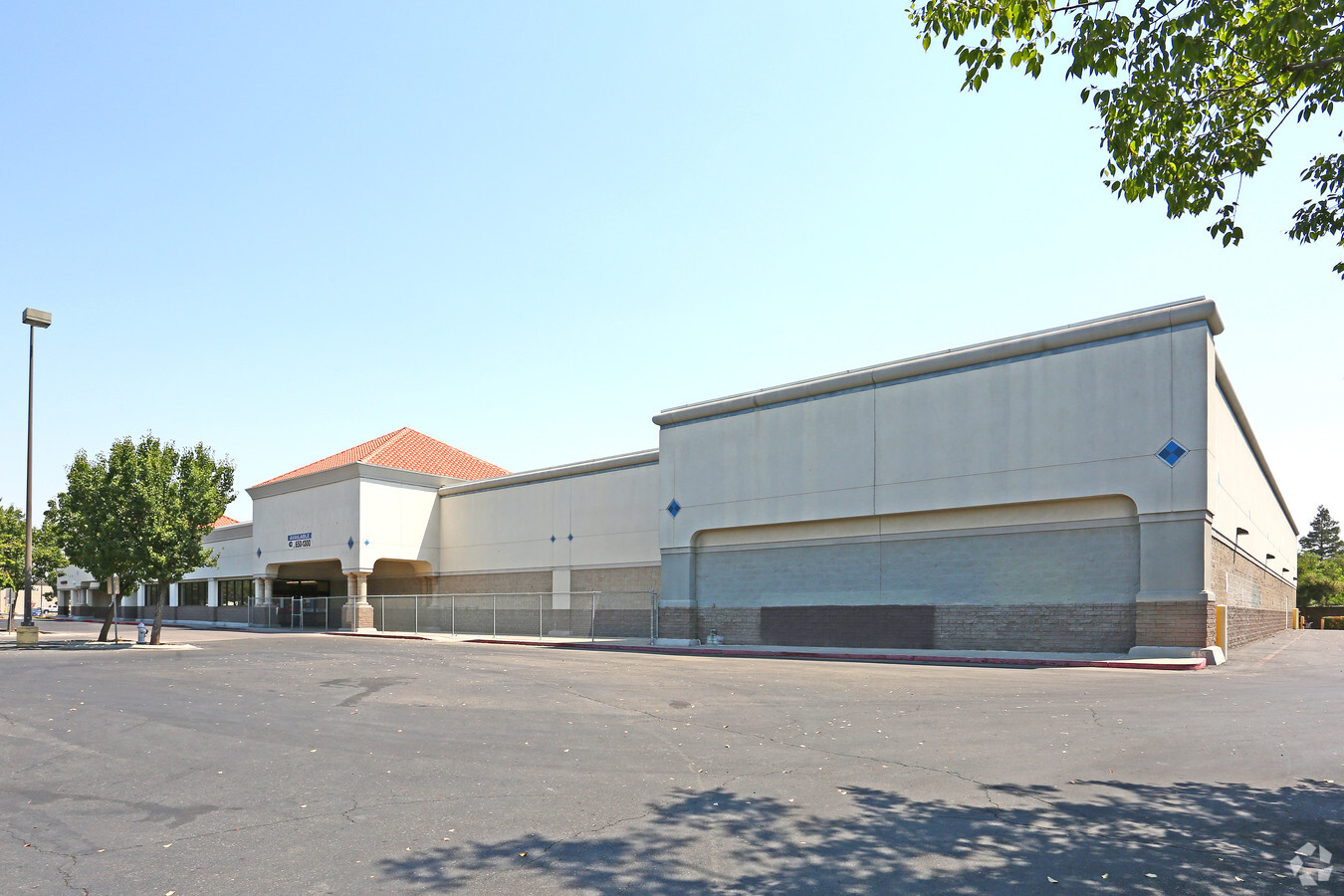
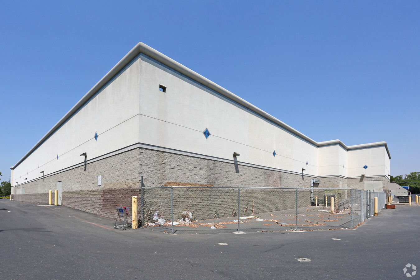
Property Record
3098 G St, Merced, CA 95340
NEARBY LISTINGS FOR SALE OR LEASE
Property Detail
3098 G St
Merced, CA
Parcel 2 Of That Certain Parcel Map For
007-040-047
PARCEL 2 PM 81-31 SECS 17&20/7/14
Commercialnec
Merced
X
California
06047C0429G
5.07 AC
2023
Suburban Merced
2024
Fresno
001200
DEMOGRAPHICS near 3098 G St
1 Mile
3 Mile
5 Mile
2024 Total Population
19,392
102,466
116,519
2029 Population
20,933
110,993
126,223
Pop Growth 2024-2029
+ 7.95%
+ 8.32%
+ 8.33%
Average Age
38
34
34
2024 Total Households
7,222
32,074
35,946
HH Growth 2024-2029
+ 8.09%
+ 8.44%
+ 8.45%
Median Household Inc
$53,056
$50,422
$51,135
Avg Household Size
2.60
3.00
3.10
2024 Avg HH Vehicles
2.00
2.00
2.00
Median Home Value
$322,170
$328,866
$332,302
Median Year Built
1975
1983
1984
Nearby Places
- Restaurants
- Banks
- Shops
- Fitness
- Groceries
PUBLIC TRANSPORTATION
COMMUTER RAIL
Merced (San Joaquins - Amtrak)
DRIVE
WALK
Distance
Merced (San Joaquins - Amtrak)
4 min
1.4 mi
Freight Ports
Port of Stockton
DRIVE
WALK
Distance
Port of Stockton
92 min
74.0 mi
SALE & LEASE HISTORY
LISTING DATE
SALE/LEASE

Sep 25, 2016
For Lease
Mar 15, 2017
For Lease
Nearby Properties
Address
Land Use
TOTAL SIZE
Lot Size
Zoning
Address
Land Use
TOTAL SIZE
Lot Size
Zoning
17.50 AC
CO
Address
Land Use
TOTAL SIZE
Lot Size
Zoning
906 SF
13.57 AC
AR
Address
Land Use
TOTAL SIZE
Lot Size
Zoning
7,182 SF
14.73 AC
R32
Address
Land Use
TOTAL SIZE
Lot Size
Zoning
7.80 AC
IL
Address
Land Use
TOTAL SIZE
Lot Size
Zoning
12.35 AC
CG
Address
Land Use
TOTAL SIZE
Lot Size
Zoning
4.87 AC
PD
Address
Land Use
TOTAL SIZE
Lot Size
Zoning
10.18 AC
R16
Address
Land Use
TOTAL SIZE
Lot Size
Zoning
2.90 AC
CO
Address
Land Use
TOTAL SIZE
Lot Size
Zoning
3.50 AC
R4
Address
Land Use
TOTAL SIZE
Lot Size
Zoning
8.44 AC
PD
Address
Land Use
TOTAL SIZE
Lot Size
Zoning
27.32 AC
PD
Address
Land Use
TOTAL SIZE
Lot Size
Zoning
18.40 AC
IL
Address
Land Use
TOTAL SIZE
Lot Size
Zoning
28.36 AC
Address
Land Use
TOTAL SIZE
Lot Size
Zoning
1.70 AC
CO
Address
Land Use
TOTAL SIZE
Lot Size
Zoning
3.90 AC
PD
Address
Land Use
TOTAL SIZE
Lot Size
Zoning
2 AC
PD
Address
Land Use
TOTAL SIZE
Lot Size
Zoning
0.48 AC
CC
Address
Land Use
TOTAL SIZE
Lot Size
Zoning
11.80 AC
PD
Address
Land Use
TOTAL SIZE
Lot Size
Zoning
10 AC
PD
Address
Land Use
TOTAL SIZE
Lot Size
Zoning
1.80 AC
Address
Land Use
TOTAL SIZE
Lot Size
Zoning
9.30 AC
IH
Address
Land Use
TOTAL SIZE
Lot Size
Zoning
4.50 AC
R4
Address
Land Use
TOTAL SIZE
Lot Size
Zoning
10.30 AC
CT
Address
Land Use
TOTAL SIZE
Lot Size
Zoning
1.90 AC
CT
Address
Land Use
TOTAL SIZE
Lot Size
Zoning
6,296 SF
3.30 AC
Address
Land Use
TOTAL SIZE
Lot Size
Zoning
0.36 AC
PD
Address
Land Use
TOTAL SIZE
Lot Size
Zoning
0.34 AC
CC
Address
Land Use
TOTAL SIZE
Lot Size
Zoning
8,014 SF
5.92 AC
RPD
Address
Land Use
TOTAL SIZE
Lot Size
Zoning
40 AC
IH
Address
Land Use
TOTAL SIZE
Lot Size
Zoning
5.90 AC
RPD
The World's #1 Commercial Real Estate Marketplace
Connect with us
© 2025 CoStar Group
The information above has been obtained from sources believed reliable. While we do not doubt its accuracy we have not verified it and make no guarantee, warranty or representation about it. It is your responsibility to independently confirm its accuracy and completeness. Any projections, opinions, assumptions, or estimates used are for example only and do not represent the current or future performance of the property. The value of this transaction to you depends on tax and other factors which should be evaluated by your tax, financial, and legal advisors. You and your advisors should conduct a careful, independent investigation of the property to determine to your satisfaction the suitability of the property for your needs.