Property Record
310 Ranger Dr, Cassopolis, MI 49031
NEARBY LISTINGS FOR SALE OR LEASE
-
-
View all Cassopolis listings for sale on LoopNet.com
Property Detail
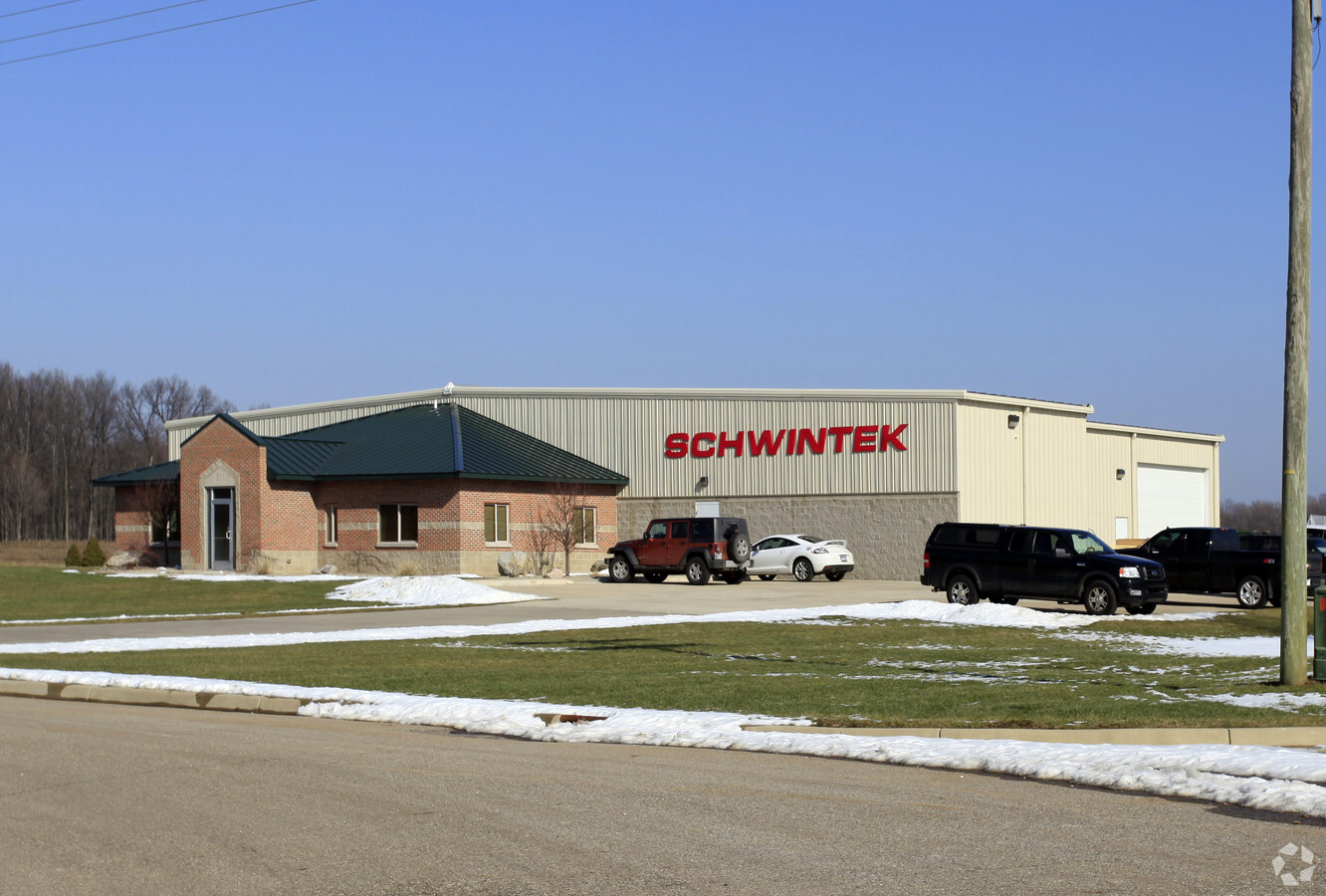
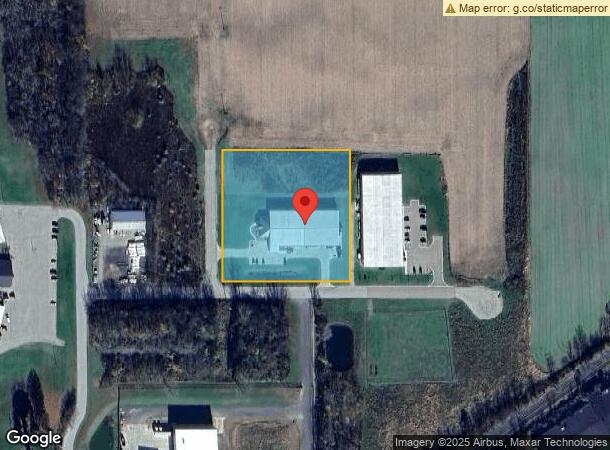
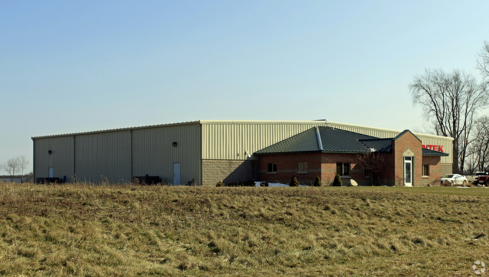
310 Ranger Dr
South Bend-Mishawaka, IN-MI
394-1260 361-203 313-420 342B-2 COM N 0 DEG 22'28"W 1257.2 FT, N 89 DEG 37'32"E 446.63 FT & N 0 DEG 33'42"W 33 FT FRM S 1/4 COR, TH N 0 DEG 33'42"W 384.3 FT, N 89 DEG 37'32"E 372 FT, S 0 DEG 33'42"E 384.3 FT, S 89 DEG 37'32"W 372 FT TO BEG. SEC 25 UN
14-041-125-073-10
Cass
Industrialgeneral
Michigan
X
14
26027C0165C
3.29 AC
2024
Cass County
2024
South Bend/Mishawaka
002100
DEMOGRAPHICS near 310 Ranger Dr
1 Mile
3 Mile
5 Mile
2024 Total Population
1,983
4,242
6,491
2029 Population
2,027
4,339
6,586
Pop Growth 2024-2029
+ 2.22%
+ 2.29%
+ 1.46%
Average Age
41
44
43
2024 Total Households
810
1,726
2,614
HH Growth 2024-2029
+ 2.10%
+ 2.09%
+ 1.34%
Median Household Inc
$60,528
$64,285
$59,626
Avg Household Size
2.40
2.30
2.30
2024 Avg HH Vehicles
2.00
2.00
2.00
Median Home Value
$161,164
$203,785
$200,131
Median Year Built
1957
1970
1972
Nearby Places
- Restaurants
- Banks
- Shops
- Fitness
- Groceries
PUBLIC TRANSPORTATION
COMMUTER RAIL
Dowagiac Amtrak Station (Blue Water - Amtrak, Wolverine - Amtrak)
DRIVE
WALK
Distance
Dowagiac Amtrak Station (Blue Water - Amtrak, Wolverine - Amtrak)
19 min
9.5 mi
AIRPORT
South Bend International
DRIVE
WALK
Distance
South Bend International
50 min
30.7 mi
Freight Ports
Port Milwaukee
DRIVE
WALK
Distance
Port Milwaukee
245 min
200.2 mi
Nearby Properties
Address
Land Use
TOTAL SIZE
Lot Size
Zoning
Address
Land Use
TOTAL SIZE
Lot Size
Zoning
151.41 AC
Address
Land Use
TOTAL SIZE
Lot Size
Zoning
Address
Land Use
TOTAL SIZE
Lot Size
Zoning
64.39 AC
Address
Land Use
TOTAL SIZE
Lot Size
Zoning
15.25 AC
Address
Land Use
TOTAL SIZE
Lot Size
Zoning
10.60 AC
Address
Land Use
TOTAL SIZE
Lot Size
Zoning
15.24 AC
Address
Land Use
TOTAL SIZE
Lot Size
Zoning
5.55 AC
Address
Land Use
TOTAL SIZE
Lot Size
Zoning
Address
Land Use
TOTAL SIZE
Lot Size
Zoning
15.63 AC
Address
Land Use
TOTAL SIZE
Lot Size
Zoning
71.41 AC
Address
Land Use
TOTAL SIZE
Lot Size
Zoning
1.25 AC
Address
Land Use
TOTAL SIZE
Lot Size
Zoning
4.05 AC
Address
Land Use
TOTAL SIZE
Lot Size
Zoning
280 AC
Address
Land Use
TOTAL SIZE
Lot Size
Zoning
157.75 AC
Address
Land Use
TOTAL SIZE
Lot Size
Zoning
19.60 AC
Address
Land Use
TOTAL SIZE
Lot Size
Zoning
0.19 AC
Address
Land Use
TOTAL SIZE
Lot Size
Zoning
5 AC
Address
Land Use
TOTAL SIZE
Lot Size
Zoning
Address
Land Use
TOTAL SIZE
Lot Size
Zoning
Address
Land Use
TOTAL SIZE
Lot Size
Zoning
Address
Land Use
TOTAL SIZE
Lot Size
Zoning
4.46 AC
Address
Land Use
TOTAL SIZE
Lot Size
Zoning
94.16 AC
Address
Land Use
TOTAL SIZE
Lot Size
Zoning
0.45 AC
Address
Land Use
TOTAL SIZE
Lot Size
Zoning
141.50 AC
Address
Land Use
TOTAL SIZE
Lot Size
Zoning
139 AC
Address
Land Use
TOTAL SIZE
Lot Size
Zoning
140.35 AC
Address
Land Use
TOTAL SIZE
Lot Size
Zoning
Address
Land Use
TOTAL SIZE
Lot Size
Zoning
188.44 AC
Address
Land Use
TOTAL SIZE
Lot Size
Zoning
Address
Land Use
TOTAL SIZE
Lot Size
Zoning
0.55 AC
The World's #1 Commercial Real Estate Marketplace
Connect with us
© 2025 CoStar Group
The information above has been obtained from sources believed reliable. While we do not doubt its accuracy we have not verified it and make no guarantee, warranty or representation about it. It is your responsibility to independently confirm its accuracy and completeness. Any projections, opinions, assumptions, or estimates used are for example only and do not represent the current or future performance of the property. The value of this transaction to you depends on tax and other factors which should be evaluated by your tax, financial, and legal advisors. You and your advisors should conduct a careful, independent investigation of the property to determine to your satisfaction the suitability of the property for your needs.