Property Record
3110 N Ridge Rd, Wichita, KS 67205
NEARBY LISTINGS FOR SALE OR LEASE
-
-
View all Wichita listings for sale on LoopNet.com
Property Detail
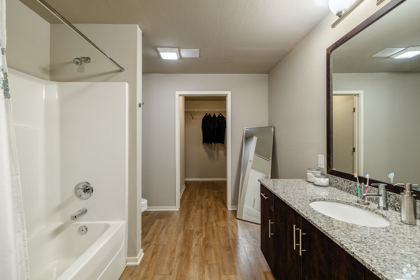
3110 N Ridge Rd
Wichita, KS
Ridge Port Add
088-34-0-32-01-018.00
TH PT LOT 1 BEG NW COR TH S 70 FT TH E 60 FT TH NELY 60 FT TH E 133.43 FT TH S 434.11 FT TH SWLY 50 FT TH SELY 241.09 FT TH NELY 500.73 FT TH NWLY 496.48 FT TH W 434.44 FT TO BEG BLOCK 1 RIDGE PORT ADD
Apartment
Sedgwick
AE
Kansas
20173C0331G
1
2023
5 AC
2023
Ridgeport
010301
Wichita
69,609 SF
DEMOGRAPHICS near 3110 N Ridge Rd
1 Mile
3 Mile
5 Mile
2024 Total Population
6,070
48,418
131,215
2029 Population
6,216
49,256
133,125
Pop Growth 2024-2029
+ 2.41%
+ 1.73%
+ 1.46%
Average Age
41
40
40
2024 Total Households
2,173
18,964
52,678
HH Growth 2024-2029
+ 2.44%
+ 1.77%
+ 1.44%
Median Household Inc
$112,192
$74,485
$64,006
Avg Household Size
2.70
2.50
2.40
2024 Avg HH Vehicles
2.00
2.00
2.00
Median Home Value
$281,445
$211,567
$181,044
Median Year Built
2005
1992
1978
Nearby Places
- Restaurants
- Banks
- Shops
- Fitness
- Groceries
PUBLIC TRANSPORTATION
AIRPORT
Wichita Dwight D Eisenhower Ntl
DRIVE
WALK
Distance
Wichita Dwight D Eisenhower Ntl
12 min
6.1 mi
Freight Ports
Tulsa Port Of Catoosa
DRIVE
WALK
Distance
Tulsa Port Of Catoosa
214 min
199.5 mi
Nearby Properties
Address
Land Use
TOTAL SIZE
Lot Size
Zoning
Address
Land Use
TOTAL SIZE
Lot Size
Zoning
662,237 SF
179.74 AC
SF-5
Address
Land Use
TOTAL SIZE
Lot Size
Zoning
149,756 SF
65.60 AC
SF-5
Address
Land Use
TOTAL SIZE
Lot Size
Zoning
303,559 SF
127.81 AC
SF-5
Address
Land Use
TOTAL SIZE
Lot Size
Zoning
203,580 SF
15.51 AC
B
Address
Land Use
TOTAL SIZE
Lot Size
Zoning
160,112 SF
58.49 AC
AA
Address
Land Use
TOTAL SIZE
Lot Size
Zoning
108,480 SF
14.90 AC
GO
Address
Land Use
TOTAL SIZE
Lot Size
Zoning
175,639 SF
22.91 AC
SF-5
Address
Land Use
TOTAL SIZE
Lot Size
Zoning
192,027 SF
117.94 AC
SF-20,GC,L
Address
Land Use
TOTAL SIZE
Lot Size
Zoning
169,396 SF
25.68 AC
SF-5
Address
Land Use
TOTAL SIZE
Lot Size
Zoning
74,378 SF
14.63 AC
GO
Address
Land Use
TOTAL SIZE
Lot Size
Zoning
89,126 SF
34.29 AC
R6
Address
Land Use
TOTAL SIZE
Lot Size
Zoning
70,821 SF
9.98 AC
SF-5
Address
Land Use
TOTAL SIZE
Lot Size
Zoning
38,927 SF
5.35 AC
LC
Address
Land Use
TOTAL SIZE
Lot Size
Zoning
56,519 SF
84.45 AC
SF-20,LI
Address
Land Use
TOTAL SIZE
Lot Size
Zoning
79,775 SF
7.94 AC
SF-5
Address
Land Use
TOTAL SIZE
Lot Size
Zoning
29,952 SF
3.98 AC
GO
Address
Land Use
TOTAL SIZE
Lot Size
Zoning
173,604 SF
21.29 AC
LC
Address
Land Use
TOTAL SIZE
Lot Size
Zoning
50,496 SF
6.18 AC
SF-5
Address
Land Use
TOTAL SIZE
Lot Size
Zoning
47,158 SF
211.18 AC
SF-20,LC
Address
Land Use
TOTAL SIZE
Lot Size
Zoning
60,085 SF
7.37 AC
SF-5
Address
Land Use
TOTAL SIZE
Lot Size
Zoning
34,963 SF
6.13 AC
Address
Land Use
TOTAL SIZE
Lot Size
Zoning
33,953 SF
10.05 AC
SF-5
Address
Land Use
TOTAL SIZE
Lot Size
Zoning
56,821 SF
2.68 AC
SF-5
Address
Land Use
TOTAL SIZE
Lot Size
Zoning
87.72 AC
SF-5
Address
Land Use
TOTAL SIZE
Lot Size
Zoning
24,134 SF
8.78 AC
B1
Address
Land Use
TOTAL SIZE
Lot Size
Zoning
39,299 SF
4.82 AC
SF-5
Address
Land Use
TOTAL SIZE
Lot Size
Zoning
46,007 SF
13.19 AC
MF-29
Address
Land Use
TOTAL SIZE
Lot Size
Zoning
18,125 SF
5.91 AC
SF-5
Address
Land Use
TOTAL SIZE
Lot Size
Zoning
94,866 SF
7.40 AC
LC
Address
Land Use
TOTAL SIZE
Lot Size
Zoning
19,148 SF
4.46 AC
LI
The World's #1 Commercial Real Estate Marketplace
Connect with us
© 2025 CoStar Group
The information above has been obtained from sources believed reliable. While we do not doubt its accuracy we have not verified it and make no guarantee, warranty or representation about it. It is your responsibility to independently confirm its accuracy and completeness. Any projections, opinions, assumptions, or estimates used are for example only and do not represent the current or future performance of the property. The value of this transaction to you depends on tax and other factors which should be evaluated by your tax, financial, and legal advisors. You and your advisors should conduct a careful, independent investigation of the property to determine to your satisfaction the suitability of the property for your needs.