Property Record
3145 Muir Field Rd, Madison, WI 53719

NEARBY LISTINGS FOR SALE OR LEASE
Property Detail
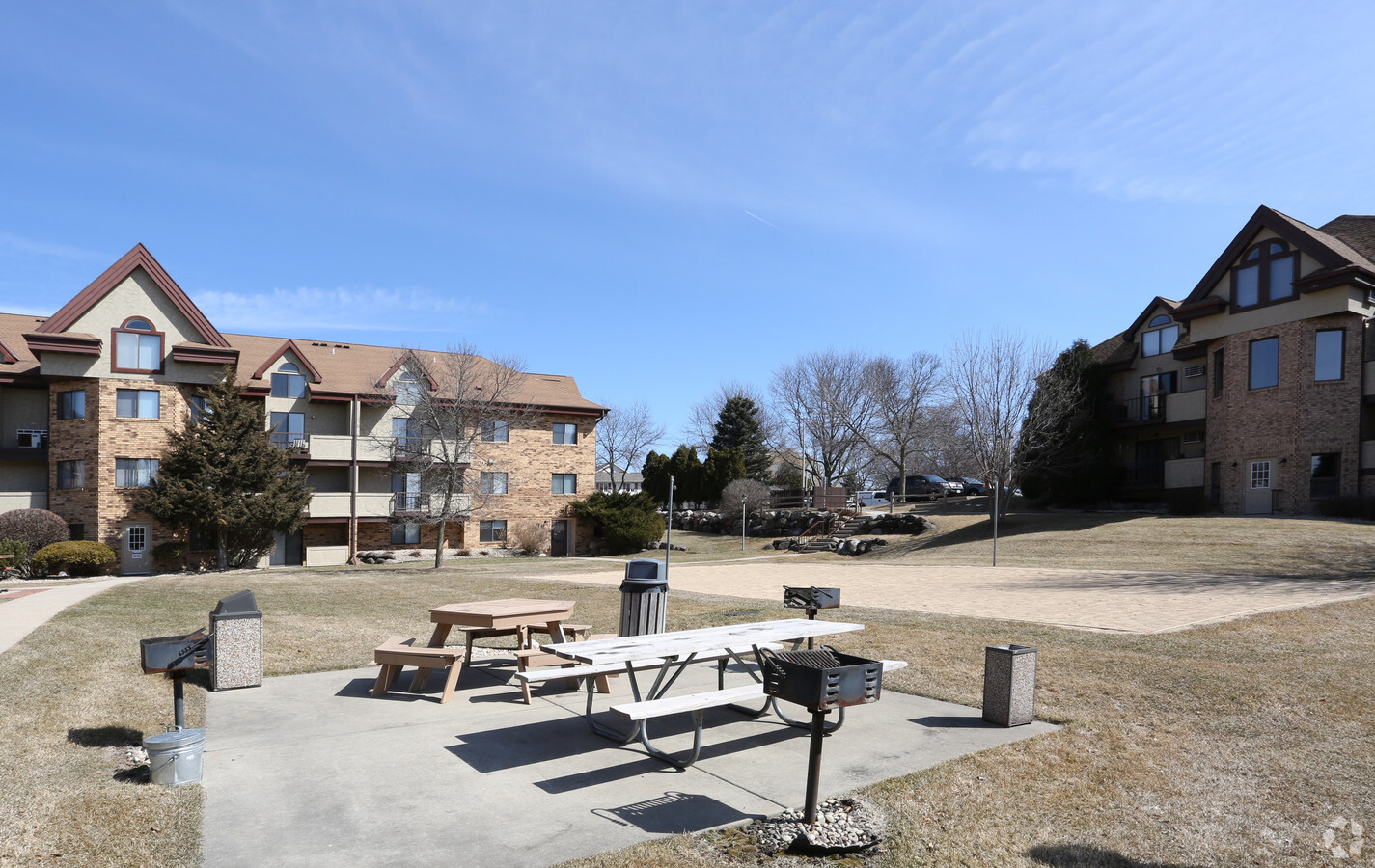
3145 Muir Field Rd
Madison, WI
Certified Survey Map No 6994 As Recorded
0608-024-1227-5
CERTIFIED SURVEY MAP NO 6994 AS RECORDED IN DANE COUNTY REGISTER OF DEEDS IN VOL 35 PAGE 106 OF CERTIFIED SURVEYS, LOT 1
Commercialnec
Dane
X
Wisconsin
55025C0394G
1
2024
2.84 AC
2024
West Madison
000504
Milwaukee/Madison
58,678 SF
DEMOGRAPHICS near 3145 Muir Field Rd
1 Mile
3 Mile
5 Mile
2024 Total Population
12,438
68,311
146,865
2029 Population
12,888
70,885
152,724
Pop Growth 2024-2029
+ 3.62%
+ 3.77%
+ 3.99%
Average Age
37
38
39
2024 Total Households
5,405
29,268
64,637
HH Growth 2024-2029
+ 3.79%
+ 3.91%
+ 4.12%
Median Household Inc
$106,528
$87,632
$89,810
Avg Household Size
2.30
2.30
2.20
2024 Avg HH Vehicles
2.00
2.00
2.00
Median Home Value
$322,760
$336,393
$369,426
Median Year Built
1996
1993
1990
Nearby Places
- Restaurants
- Banks
- Shops
- Fitness
- Groceries
PUBLIC TRANSPORTATION
AIRPORT
Dane County Regional/Truax Field
DRIVE
WALK
Distance
Dane County Regional/Truax Field
29 min
13.7 mi
Freight Ports
Port Milwaukee
DRIVE
WALK
Distance
Port Milwaukee
110 min
90.4 mi
Nearby Properties
Address
Land Use
TOTAL SIZE
Lot Size
Zoning
Address
Land Use
TOTAL SIZE
Lot Size
Zoning
354,461 SF
37.40 AC
CC
Address
Land Use
TOTAL SIZE
Lot Size
Zoning
56,000 SF
23.87 AC
SE
Address
Land Use
TOTAL SIZE
Lot Size
Zoning
87.45 AC
Address
Land Use
TOTAL SIZE
Lot Size
Zoning
16.87 AC
SE
Address
Land Use
TOTAL SIZE
Lot Size
Zoning
77,296 SF
4.84 AC
TR-U1
Address
Land Use
TOTAL SIZE
Lot Size
Zoning
16.45 AC
Address
Land Use
TOTAL SIZE
Lot Size
Zoning
27,201 SF
7.65 AC
TR-U2
Address
Land Use
TOTAL SIZE
Lot Size
Zoning
18,242 SF
4.45 AC
TR-U1
Address
Land Use
TOTAL SIZE
Lot Size
Zoning
27,201 SF
10.08 AC
TR-U2
Address
Land Use
TOTAL SIZE
Lot Size
Zoning
Address
Land Use
TOTAL SIZE
Lot Size
Zoning
229,381 SF
7.34 AC
PD
Address
Land Use
TOTAL SIZE
Lot Size
Zoning
290,535 SF
11.25 AC
PD
Address
Land Use
TOTAL SIZE
Lot Size
Zoning
17.80 AC
Address
Land Use
TOTAL SIZE
Lot Size
Zoning
254,922 SF
11.97 AC
PD
Address
Land Use
TOTAL SIZE
Lot Size
Zoning
324,920 SF
8.47 AC
PD
Address
Land Use
TOTAL SIZE
Lot Size
Zoning
8.10 AC
Address
Land Use
TOTAL SIZE
Lot Size
Zoning
311,672 SF
4.59 AC
PD
Address
Land Use
TOTAL SIZE
Lot Size
Zoning
125,786 SF
5.62 AC
A
Address
Land Use
TOTAL SIZE
Lot Size
Zoning
13.87 AC
Address
Land Use
TOTAL SIZE
Lot Size
Zoning
6.57 AC
SR-V2
Address
Land Use
TOTAL SIZE
Lot Size
Zoning
13.98 AC
Address
Land Use
TOTAL SIZE
Lot Size
Zoning
70,258 SF
14.37 AC
PD
Address
Land Use
TOTAL SIZE
Lot Size
Zoning
244,074 SF
7.96 AC
SR-V2
Address
Land Use
TOTAL SIZE
Lot Size
Zoning
34,457 SF
9.04 AC
PD
Address
Land Use
TOTAL SIZE
Lot Size
Zoning
231,107 SF
4.59 AC
PD
Address
Land Use
TOTAL SIZE
Lot Size
Zoning
3.56 AC
Address
Land Use
TOTAL SIZE
Lot Size
Zoning
131,058 SF
16.28 AC
RMX
Address
Land Use
TOTAL SIZE
Lot Size
Zoning
15.20 AC
Address
Land Use
TOTAL SIZE
Lot Size
Zoning
3.45 AC
SR-V2
Address
Land Use
TOTAL SIZE
Lot Size
Zoning
236,626 SF
5.63 AC
PD
The World's #1 Commercial Real Estate Marketplace
Connect with us
© 2025 CoStar Group
The information above has been obtained from sources believed reliable. While we do not doubt its accuracy we have not verified it and make no guarantee, warranty or representation about it. It is your responsibility to independently confirm its accuracy and completeness. Any projections, opinions, assumptions, or estimates used are for example only and do not represent the current or future performance of the property. The value of this transaction to you depends on tax and other factors which should be evaluated by your tax, financial, and legal advisors. You and your advisors should conduct a careful, independent investigation of the property to determine to your satisfaction the suitability of the property for your needs.