Property Record
315 Riverside Ave, Roseville, CA 95678
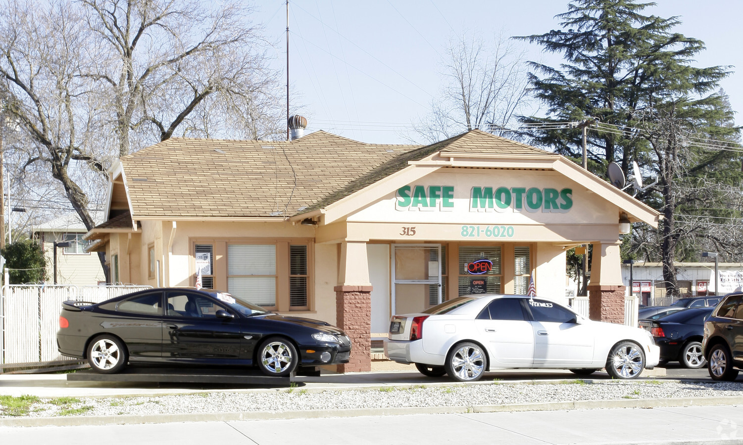
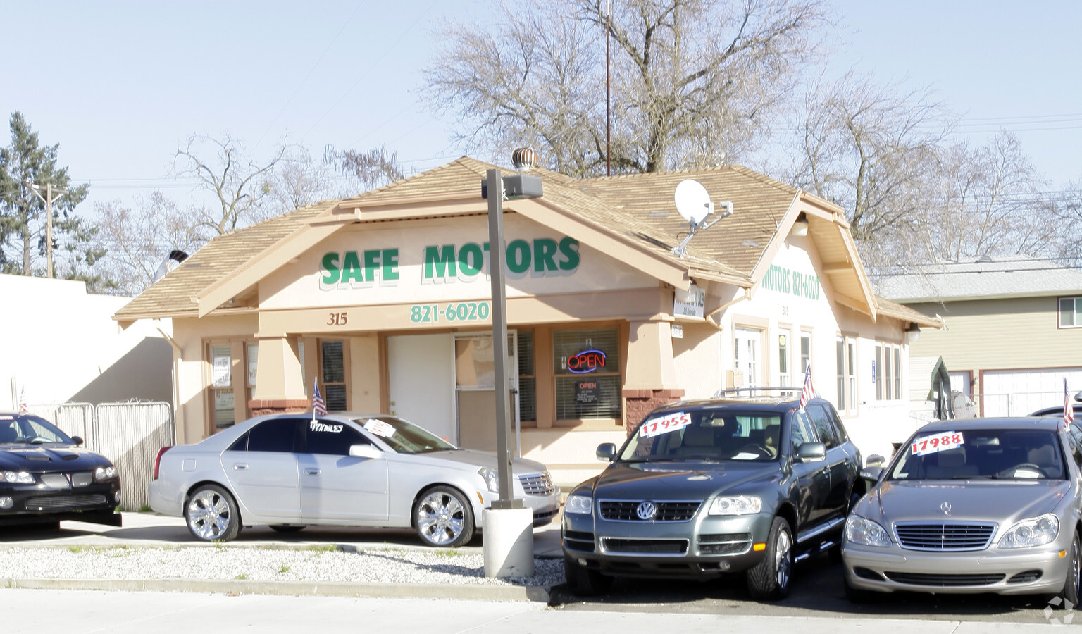
This Property Is For Sale
NEARBY LISTINGS FOR SALE OR LEASE
Property Detail
315 Riverside Ave
Sacramento--Roseville--Arden-Arcade, CA
Cherry
014-141-015
LOT 9 CHERRY GL TR
Vehiclerentalsvehiclesales
Placer
X
California
06061C1031H
9
2023
0.17 AC
2023
Roseville/Rocklin
020901
Sacramento
1,314 SF
DEMOGRAPHICS near 315 Riverside Ave
1 Mile
3 Mile
5 Mile
2024 Total Population
14,185
110,814
328,909
2029 Population
15,164
116,258
342,541
Pop Growth 2024-2029
+ 6.90%
+ 4.91%
+ 4.14%
Average Age
39
40
40
2024 Total Households
5,690
42,325
122,106
HH Growth 2024-2029
+ 6.94%
+ 5.07%
+ 4.25%
Median Household Inc
$69,958
$87,291
$90,835
Avg Household Size
2.40
2.60
2.60
2024 Avg HH Vehicles
2.00
2.00
2.00
Median Home Value
$376,268
$472,076
$494,955
Median Year Built
1972
1984
1988
Nearby Places
- Restaurants
- Banks
- Shops
- Fitness
- Groceries
PUBLIC TRANSPORTATION
COMMUTER RAIL
Roseville (California Zephyr - Amtrak, Capitol Corridor - Amtrak)
Drive
Walk
Distance
Roseville (California Zephyr - Amtrak, Capitol Corridor - Amtrak)
5 min
18 min
0.9 mi
Rocklin Amtrak Station (Capitol Corridor - Amtrak)
Drive
Walk
Distance
Rocklin Amtrak Station (Capitol Corridor - Amtrak)
11 min
5.6 mi
AIRPORT
Sacramento International
Drive
Walk
Distance
Sacramento International
33 min
23.9 mi
Freight Ports
Port of Stockton
Drive
Walk
Distance
Port of Stockton
76 min
64.1 mi
Nearby Properties
Address
Land Use
TOTAL SIZE
Lot Size
Zoning
Address
Land Use
TOTAL SIZE
Lot Size
Zoning
877320
53.20 AC
Address
Land Use
TOTAL SIZE
Lot Size
Zoning
678494
15.80 AC
Address
Land Use
TOTAL SIZE
Lot Size
Zoning
350573
26.30 AC
Address
Land Use
TOTAL SIZE
Lot Size
Zoning
277602
26.49 AC
Address
Land Use
TOTAL SIZE
Lot Size
Zoning
210380
14.26 AC
Address
Land Use
TOTAL SIZE
Lot Size
Zoning
280129
14.90 AC
Address
Land Use
TOTAL SIZE
Lot Size
Zoning
325462
29.50 AC
Address
Land Use
TOTAL SIZE
Lot Size
Zoning
328416
17.80 AC
Address
Land Use
TOTAL SIZE
Lot Size
Zoning
105730
7.20 AC
Address
Land Use
TOTAL SIZE
Lot Size
Zoning
144760
26.70 AC
Address
Land Use
TOTAL SIZE
Lot Size
Zoning
222702
10.57 AC
Address
Land Use
TOTAL SIZE
Lot Size
Zoning
178586
19.70 AC
Address
Land Use
TOTAL SIZE
Lot Size
Zoning
244077
8.70 AC
Address
Land Use
TOTAL SIZE
Lot Size
Zoning
233228
12.10 AC
Address
Land Use
TOTAL SIZE
Lot Size
Zoning
143809
14.40 AC
Address
Land Use
TOTAL SIZE
Lot Size
Zoning
288628
11.90 AC
Address
Land Use
TOTAL SIZE
Lot Size
Zoning
263682
14.40 AC
Address
Land Use
TOTAL SIZE
Lot Size
Zoning
718131
42 AC
Address
Land Use
TOTAL SIZE
Lot Size
Zoning
159069
6.09 AC
Address
Land Use
TOTAL SIZE
Lot Size
Zoning
310720
16.90 AC
Address
Land Use
TOTAL SIZE
Lot Size
Zoning
28798
12.52 AC
Address
Land Use
TOTAL SIZE
Lot Size
Zoning
78730
8.03 AC
RD20 BP
Address
Land Use
TOTAL SIZE
Lot Size
Zoning
82661
7.50 AC
Address
Land Use
TOTAL SIZE
Lot Size
Zoning
200928
3.65 AC
Address
Land Use
TOTAL SIZE
Lot Size
Zoning
128480
7.95 AC
RD30 BP
Address
Land Use
TOTAL SIZE
Lot Size
Zoning
220000
10 AC
Address
Land Use
TOTAL SIZE
Lot Size
Zoning
110791
7.50 AC
Address
Land Use
TOTAL SIZE
Lot Size
Zoning
104219
11.45 AC
Address
Land Use
TOTAL SIZE
Lot Size
Zoning
139000
9.30 AC
Address
Land Use
TOTAL SIZE
Lot Size
Zoning
101050
8.34 AC
Start a new search to find other properties for sale or lease
Connect with us
© 2024 CoStar Group
The information above has been obtained from sources believed reliable. While we do not doubt its accuracy we have not verified it and make no guarantee, warranty or representation about it. It is your responsibility to independently confirm its accuracy and completeness. Any projections, opinions, assumptions, or estimates used are for example only and do not represent the current or future performance of the property. The value of this transaction to you depends on tax and other factors which should be evaluated by your tax, financial, and legal advisors. You and your advisors should conduct a careful, independent investigation of the property to determine to your satisfaction the suitability of the property for your needs.