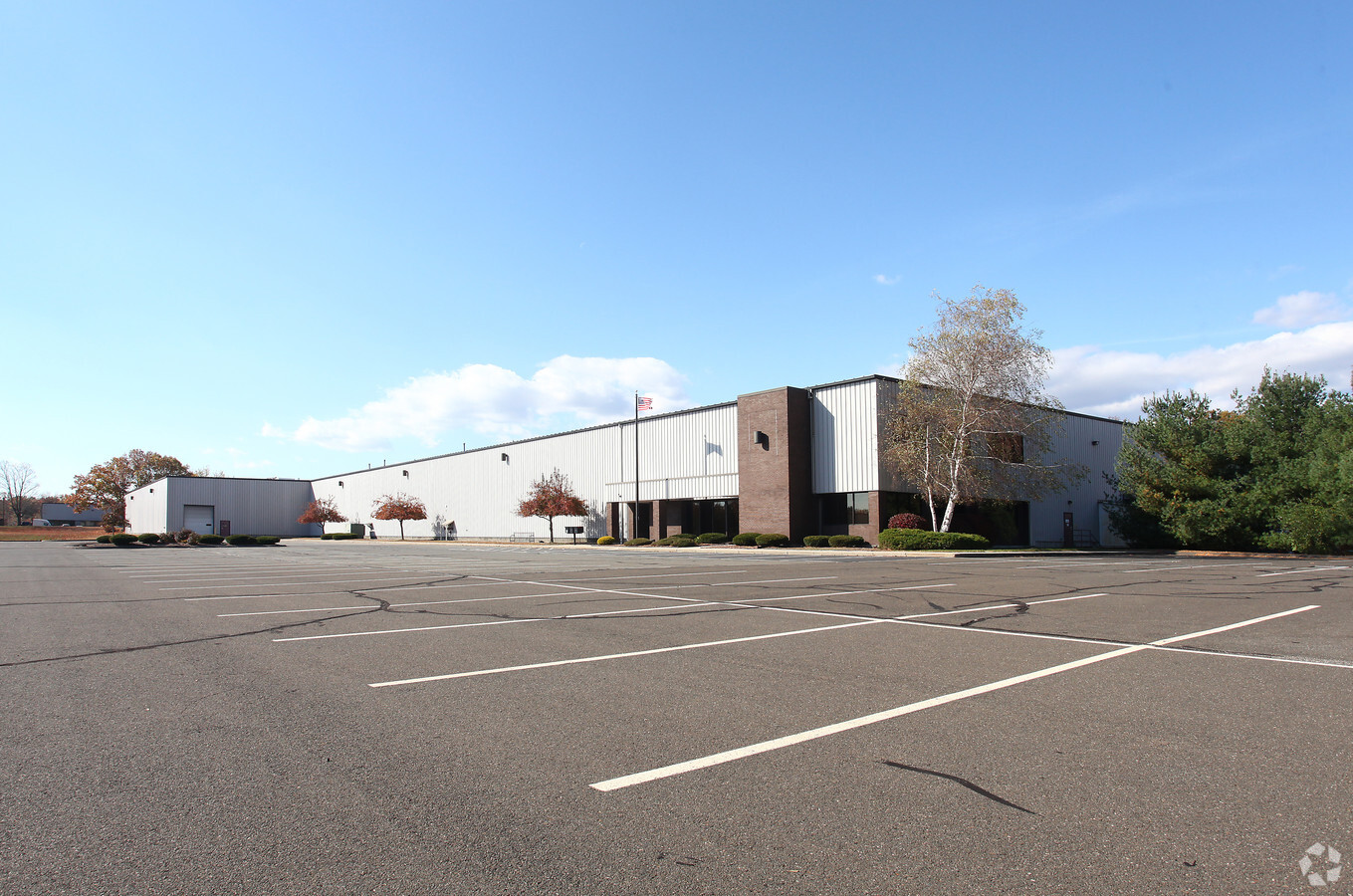
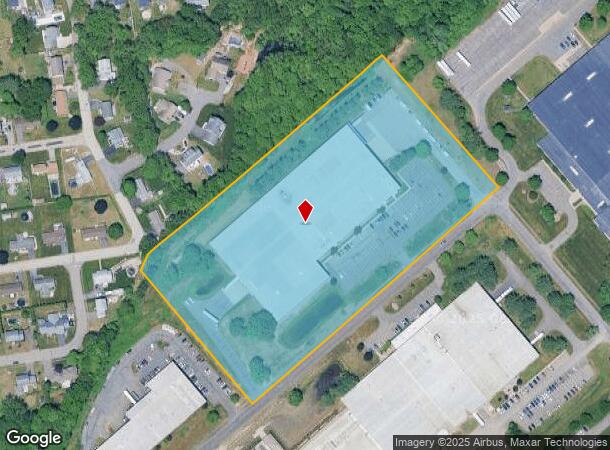
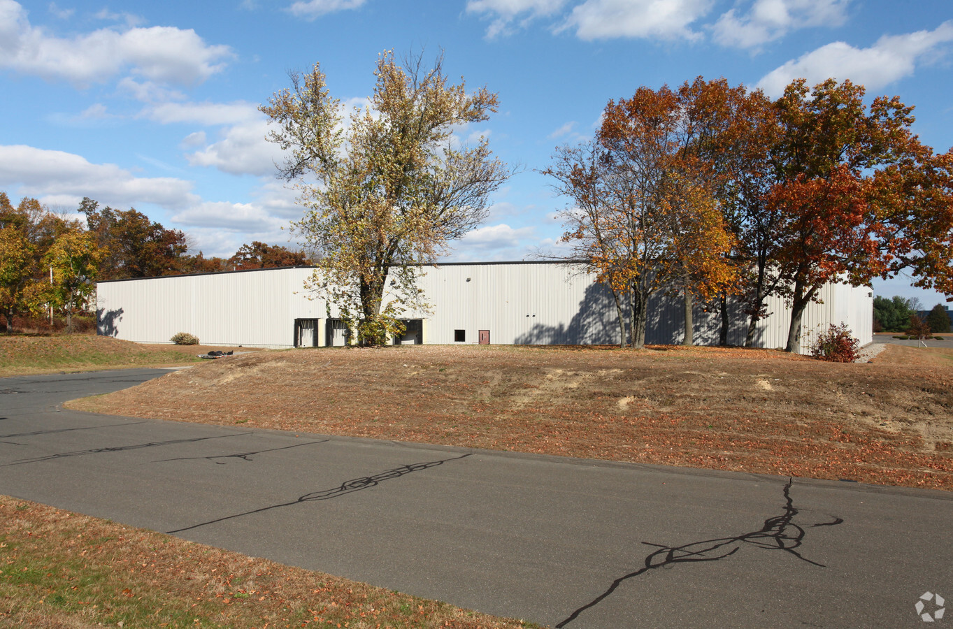
Property Record
318 Griffith Rd, Chicopee, MA 01022
NEARBY LISTINGS FOR SALE OR LEASE
Property Detail
318 Griffith Rd
Manufacturinglight
Hampden
X
Massachusetts
25013C0208E
11.17 AC
2025
Hampden County
2025
Hartford
811302
Springfield, MA
138,000 SF
CHIC-000004-000000-W000009A
DEMOGRAPHICS near 318 Griffith Rd
1 Mile
3 Mile
5 Mile
2024 Total Population
5,382
42,258
132,214
2029 Population
5,229
39,479
126,566
Pop Growth 2024-2029
(2.84%)
(6.58%)
(4.27%)
Average Age
43
42
41
2024 Total Households
2,351
18,209
54,077
HH Growth 2024-2029
(2.85%)
(6.90%)
(4.57%)
Median Household Inc
$56,350
$56,760
$58,440
Avg Household Size
2.20
2.30
2.30
2024 Avg HH Vehicles
2.00
1.00
2.00
Median Home Value
$234,959
$247,688
$246,724
Median Year Built
1968
1959
1955
Nearby Places
- Restaurants
- Banks
- Shops
- Fitness
- Groceries
PUBLIC TRANSPORTATION
COMMUTER RAIL
Holyoke Amtrak (Valley Flyer - Amtrak, Vermonter - Amtrak)
DRIVE
WALK
Distance
Holyoke Amtrak (Valley Flyer - Amtrak, Vermonter - Amtrak)
9 min
3.9 mi
Springfield (Amtrak Hartford Line - Hartford Line, Hartford Line - Hartford Line, Lake Shore Limited - Hartford Line, Northeast Regional - Hartford Line, Valley Flyer - Hartford Line, Vermonter - Hartford Line)
DRIVE
WALK
Distance
Springfield (Amtrak Hartford Line - Hartford Line, Hartford Line - Hartford Line, Lake Shore Limited - Hartford Line, Northeast Regional - Hartford Line, Valley Flyer - Hartford Line, Vermonter - Hartford Line)
18 min
8.8 mi
AIRPORT
Bradley International
DRIVE
WALK
Distance
Bradley International
48 min
22.1 mi
Freight Ports
Port of New Haven
DRIVE
WALK
Distance
Port of New Haven
100 min
73.2 mi
Nearby Properties
Address
Land Use
TOTAL SIZE
Lot Size
Zoning
Address
Land Use
TOTAL SIZE
Lot Size
Zoning
21.80 AC
106
Address
Land Use
TOTAL SIZE
Lot Size
Zoning
22.77 AC
111A
Address
Land Use
TOTAL SIZE
Lot Size
Zoning
171,241 SF
18.94 AC
106
Address
Land Use
TOTAL SIZE
Lot Size
Zoning
30.45 AC
106
Address
Land Use
TOTAL SIZE
Lot Size
Zoning
223,390 SF
13.83 AC
111A
Address
Land Use
TOTAL SIZE
Lot Size
Zoning
26.68 AC
110
Address
Land Use
TOTAL SIZE
Lot Size
Zoning
4.04 AC
107
Address
Land Use
TOTAL SIZE
Lot Size
Zoning
257,179 SF
22.84 AC
110
Address
Land Use
TOTAL SIZE
Lot Size
Zoning
34 AC
Address
Land Use
TOTAL SIZE
Lot Size
Zoning
81.65 AC
110
Address
Land Use
TOTAL SIZE
Lot Size
Zoning
320,639 SF
14.16 AC
110
Address
Land Use
TOTAL SIZE
Lot Size
Zoning
2.41 AC
DR
Address
Land Use
TOTAL SIZE
Lot Size
Zoning
23,111 SF
1.43 AC
IA
Address
Land Use
TOTAL SIZE
Lot Size
Zoning
491.50 AC
108
Address
Land Use
TOTAL SIZE
Lot Size
Zoning
243.13 AC
109
Address
Land Use
TOTAL SIZE
Lot Size
Zoning
14.47 AC
110
Address
Land Use
TOTAL SIZE
Lot Size
Zoning
194,875 SF
2.75 AC
IG
Address
Land Use
TOTAL SIZE
Lot Size
Zoning
116,625 SF
12.73 AC
111A
Address
Land Use
TOTAL SIZE
Lot Size
Zoning
64,638 SF
9.26 AC
RA2
Address
Land Use
TOTAL SIZE
Lot Size
Zoning
80,393 SF
1.71 AC
111
Address
Land Use
TOTAL SIZE
Lot Size
Zoning
6.28 AC
IG
Address
Land Use
TOTAL SIZE
Lot Size
Zoning
10.62 AC
111A
Address
Land Use
TOTAL SIZE
Lot Size
Zoning
217,640 SF
12.21 AC
110
Address
Land Use
TOTAL SIZE
Lot Size
Zoning
88,603 SF
3.28 AC
111A
Address
Land Use
TOTAL SIZE
Lot Size
Zoning
152,380 SF
11.36 AC
110
Address
Land Use
TOTAL SIZE
Lot Size
Zoning
17.97 AC
108
Address
Land Use
TOTAL SIZE
Lot Size
Zoning
2.03 AC
111
Address
Land Use
TOTAL SIZE
Lot Size
Zoning
78,505 SF
10.68 AC
111
Address
Land Use
TOTAL SIZE
Lot Size
Zoning
291,714 SF
35.75 AC
110
Address
Land Use
TOTAL SIZE
Lot Size
Zoning
2.61 AC
107
The World's #1 Commercial Real Estate Marketplace
Connect with us
© 2025 CoStar Group
The information above has been obtained from sources believed reliable. While we do not doubt its accuracy we have not verified it and make no guarantee, warranty or representation about it. It is your responsibility to independently confirm its accuracy and completeness. Any projections, opinions, assumptions, or estimates used are for example only and do not represent the current or future performance of the property. The value of this transaction to you depends on tax and other factors which should be evaluated by your tax, financial, and legal advisors. You and your advisors should conduct a careful, independent investigation of the property to determine to your satisfaction the suitability of the property for your needs.