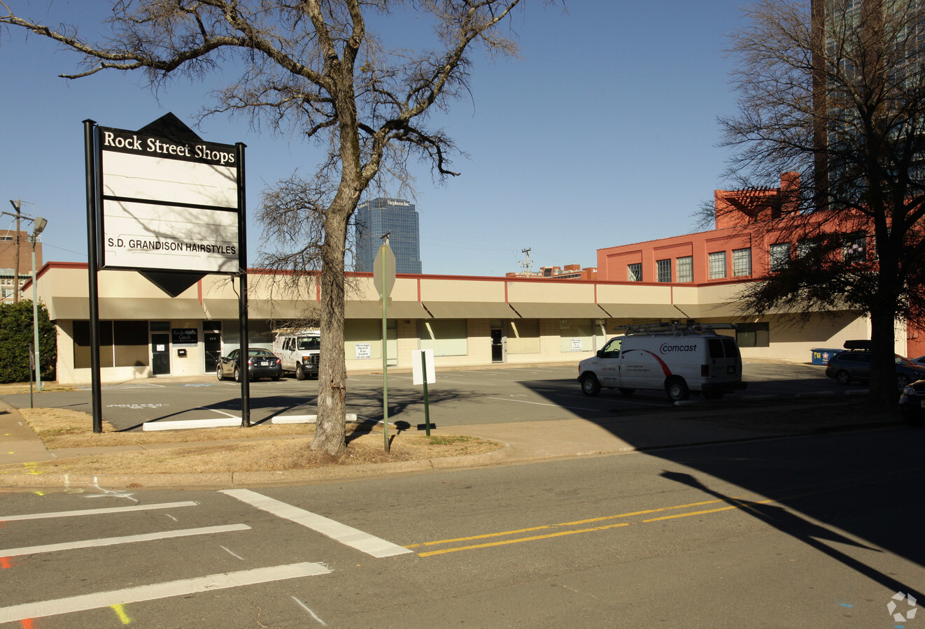
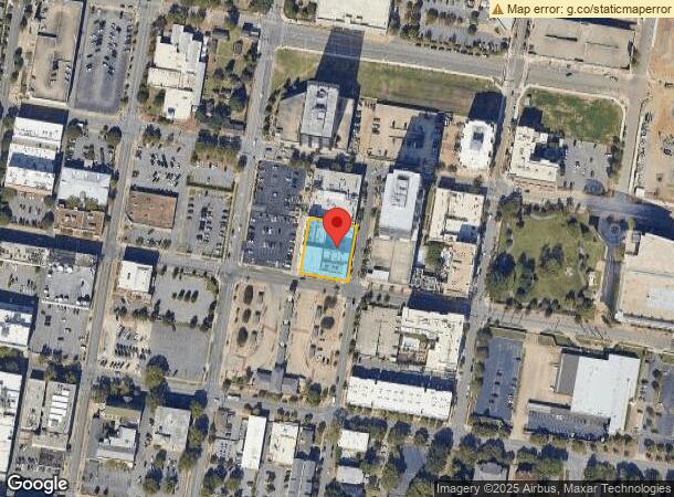
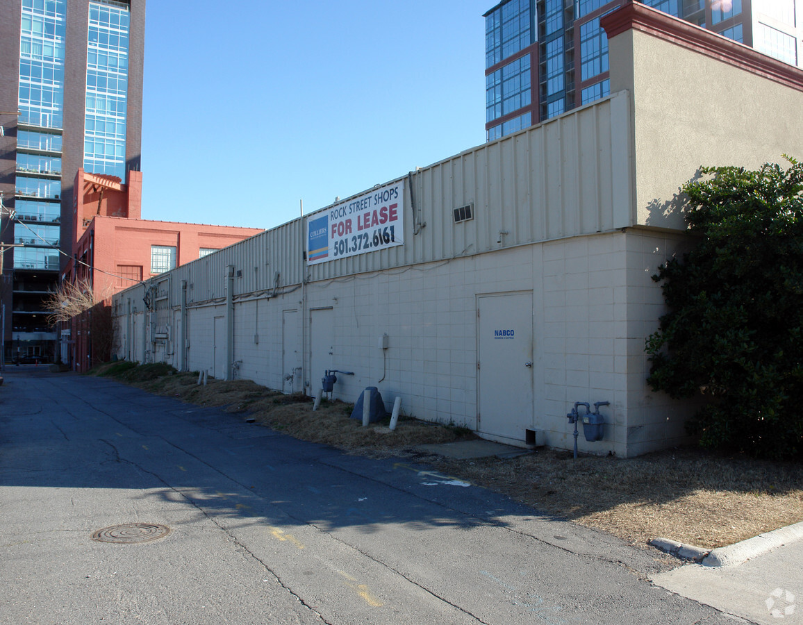
Property Record
322 Rock St, Little Rock, AR 72202
NEARBY LISTINGS FOR SALE OR LEASE
Property Detail
322 Rock St
Little Rock-North Little Rock-Conway, AR
City Of Lr L2
34L-020-02-102-00
CITY OF LR LTS 7,8,9 & S12 OF 10 38
Hotel
Pulaski
X
Arkansas
05119C0457G
7-10
2023
0.52 AC
2023
Downtown
004400
Little Rock/N Little Rock
94,364 SF
DEMOGRAPHICS near 322 Rock St
1 Mile
3 Mile
5 Mile
2024 Total Population
6,103
47,029
117,292
2029 Population
6,226
48,345
118,891
Pop Growth 2024-2029
+ 2.02%
+ 2.80%
+ 1.36%
Average Age
42
40
40
2024 Total Households
3,935
22,268
53,585
HH Growth 2024-2029
+ 1.88%
+ 2.72%
+ 1.41%
Median Household Inc
$48,004
$38,953
$43,564
Avg Household Size
1.50
1.90
2.00
2024 Avg HH Vehicles
1.00
1.00
1.00
Median Home Value
$226,480
$139,879
$148,284
Median Year Built
1970
1961
1966
Nearby Places
- Restaurants
- Banks
- Shops
- Fitness
- Groceries
PUBLIC TRANSPORTATION
TRANSIT/SUBWAY
2Nd St & Scott St (Blue Line Streetcar - Rock Region Metro)
DRIVE
WALK
Distance
2Nd St & Scott St (Blue Line Streetcar - Rock Region Metro)
0 min
4 min
0.2 mi
President Clinton Ave & River Market Ave (Blue Line Streetcar - Rock Region Metro)
DRIVE
WALK
Distance
President Clinton Ave & River Market Ave (Blue Line Streetcar - Rock Region Metro)
0 min
4 min
0.2 mi
2Nd St & Rock St (Blue Line Streetcar - Rock Region Metro)
DRIVE
WALK
Distance
2Nd St & Rock St (Blue Line Streetcar - Rock Region Metro)
1 min
4 min
0.2 mi
West Markham & Scott St - Marriott (Blue Line Streetcar - Rock Region Metro)
DRIVE
WALK
Distance
West Markham & Scott St - Marriott (Blue Line Streetcar - Rock Region Metro)
0 min
6 min
0.3 mi
2Nd St & Center St (Blue Line Streetcar - Rock Region Metro)
DRIVE
WALK
Distance
2Nd St & Center St (Blue Line Streetcar - Rock Region Metro)
1 min
9 min
0.5 mi
COMMUTER RAIL
Little Rock Union Station (Texas Eagle - Amtrak)
DRIVE
WALK
Distance
Little Rock Union Station (Texas Eagle - Amtrak)
3 min
1.4 mi
AIRPORT
Bill and Hillary Clinton Ntl/Adams Field
DRIVE
WALK
Distance
Bill and Hillary Clinton Ntl/Adams Field
9 min
4.4 mi
Freight Ports
Port of Shreveport
DRIVE
WALK
Distance
Port of Shreveport
251 min
233.8 mi
Nearby Properties
Address
Land Use
TOTAL SIZE
Lot Size
Zoning
Address
Land Use
TOTAL SIZE
Lot Size
Zoning
1.80 AC
Address
Land Use
TOTAL SIZE
Lot Size
Zoning
5,202,734 SF
70.44 AC
Address
Land Use
TOTAL SIZE
Lot Size
Zoning
0.90 AC
Address
Land Use
TOTAL SIZE
Lot Size
Zoning
0.45 AC
Address
Land Use
TOTAL SIZE
Lot Size
Zoning
1,000,000 SF
2.03 AC
Address
Land Use
TOTAL SIZE
Lot Size
Zoning
333,096 SF
11.62 AC
Address
Land Use
TOTAL SIZE
Lot Size
Zoning
237,144 SF
1.26 AC
Address
Land Use
TOTAL SIZE
Lot Size
Zoning
447,377 SF
39.57 AC
Address
Land Use
TOTAL SIZE
Lot Size
Zoning
6,594 SF
0.91 AC
Address
Land Use
TOTAL SIZE
Lot Size
Zoning
24,990 SF
2.26 AC
Address
Land Use
TOTAL SIZE
Lot Size
Zoning
284,659 SF
Address
Land Use
TOTAL SIZE
Lot Size
Zoning
297,814 SF
82.14 AC
Address
Land Use
TOTAL SIZE
Lot Size
Zoning
117,237 SF
2.27 AC
Address
Land Use
TOTAL SIZE
Lot Size
Zoning
396,835 SF
2.06 AC
Address
Land Use
TOTAL SIZE
Lot Size
Zoning
302,427 SF
7.82 AC
Address
Land Use
TOTAL SIZE
Lot Size
Zoning
761,810 SF
74.50 AC
Address
Land Use
TOTAL SIZE
Lot Size
Zoning
2,636 SF
0.67 AC
Address
Land Use
TOTAL SIZE
Lot Size
Zoning
267,152 SF
Address
Land Use
TOTAL SIZE
Lot Size
Zoning
298,518 SF
4.43 AC
Address
Land Use
TOTAL SIZE
Lot Size
Zoning
220,000 SF
36.33 AC
Address
Land Use
TOTAL SIZE
Lot Size
Zoning
260,000 SF
5.80 AC
Address
Land Use
TOTAL SIZE
Lot Size
Zoning
346,974 SF
Address
Land Use
TOTAL SIZE
Lot Size
Zoning
138,352 SF
0.72 AC
Address
Land Use
TOTAL SIZE
Lot Size
Zoning
269,624 SF
3.40 AC
Address
Land Use
TOTAL SIZE
Lot Size
Zoning
361,910 SF
Address
Land Use
TOTAL SIZE
Lot Size
Zoning
41,925 SF
13 AC
Address
Land Use
TOTAL SIZE
Lot Size
Zoning
161,779 SF
2.45 AC
Address
Land Use
TOTAL SIZE
Lot Size
Zoning
83,652 SF
11.44 AC
Address
Land Use
TOTAL SIZE
Lot Size
Zoning
694,300 SF
0.58 AC
Address
Land Use
TOTAL SIZE
Lot Size
Zoning
36,782 SF
1.93 AC
The World's #1 Commercial Real Estate Marketplace
Connect with us
© 2025 CoStar Group
The information above has been obtained from sources believed reliable. While we do not doubt its accuracy we have not verified it and make no guarantee, warranty or representation about it. It is your responsibility to independently confirm its accuracy and completeness. Any projections, opinions, assumptions, or estimates used are for example only and do not represent the current or future performance of the property. The value of this transaction to you depends on tax and other factors which should be evaluated by your tax, financial, and legal advisors. You and your advisors should conduct a careful, independent investigation of the property to determine to your satisfaction the suitability of the property for your needs.