Property Record
3232 Somis Rd, Somis, CA 93066
NEARBY LISTINGS FOR SALE OR LEASE
Property Detail
3232 Somis Rd
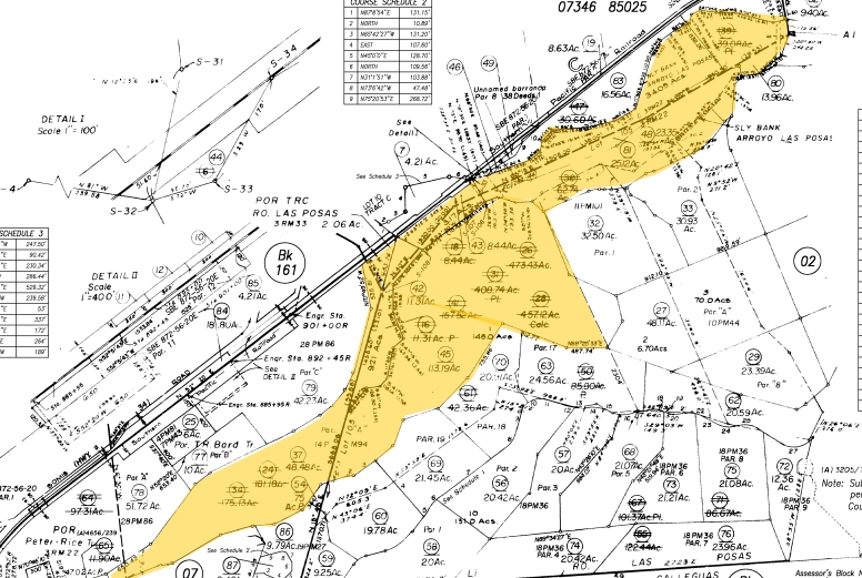
163-0-010-450
PR APN 1630010380
Orchard
Ventura
AE
California
06111C0813E
113.19 AC
2024
Camarillo/Point Mugu
2024
Los Angeles
005100
Oxnard-Thousand Oaks-Ventura, CA
DEMOGRAPHICS near 3232 Somis Rd
1 Mile
3 Mile
5 Mile
2024 Total Population
1,081
33,668
75,146
2029 Population
1,050
33,125
73,887
Pop Growth 2024-2029
(2.87%)
(1.61%)
(1.68%)
Average Age
43
45
43
2024 Total Households
330
12,544
27,689
HH Growth 2024-2029
(2.73%)
(1.69%)
(1.77%)
Median Household Inc
$134,615
$116,299
$110,185
Avg Household Size
3.00
2.60
2.60
2024 Avg HH Vehicles
3.00
2.00
2.00
Median Home Value
$1,097,059
$764,492
$767,971
Median Year Built
1979
1979
1978
Nearby Places
- Restaurants
- Banks
- Shops
- Fitness
- Groceries
PUBLIC TRANSPORTATION
COMMUTER RAIL
Camarillo (Ventura County Line - Southern California Regional Rail Authority (Metrolink))
DRIVE
WALK
Distance
Camarillo (Ventura County Line - Southern California Regional Rail Authority (Metrolink))
10 min
4.2 mi
Moorpark (Ventura County Line - Southern California Regional Rail Authority (Metrolink))
DRIVE
WALK
Distance
Moorpark (Ventura County Line - Southern California Regional Rail Authority (Metrolink))
18 min
8.8 mi
Freight Ports
The Port of Hueneme
DRIVE
WALK
Distance
The Port of Hueneme
30 min
16.1 mi
Nearby Properties
Address
Land Use
TOTAL SIZE
Lot Size
Zoning
Address
Land Use
TOTAL SIZE
Lot Size
Zoning
9.66 AC
PO
Address
Land Use
TOTAL SIZE
Lot Size
Zoning
98,344 SF
7.40 AC
RPD3
Address
Land Use
TOTAL SIZE
Lot Size
Zoning
9.76 AC
Address
Land Use
TOTAL SIZE
Lot Size
Zoning
3.72 AC
CPD
Address
Land Use
TOTAL SIZE
Lot Size
Zoning
66,716 SF
1.79 AC
Address
Land Use
TOTAL SIZE
Lot Size
Zoning
117,112 SF
9.03 AC
M-1
Address
Land Use
TOTAL SIZE
Lot Size
Zoning
76,037 SF
6 AC
M2
Address
Land Use
TOTAL SIZE
Lot Size
Zoning
45,480 SF
3.15 AC
CPD
Address
Land Use
TOTAL SIZE
Lot Size
Zoning
83,104 SF
4.85 AC
M1
Address
Land Use
TOTAL SIZE
Lot Size
Zoning
12.04 AC
Address
Land Use
TOTAL SIZE
Lot Size
Zoning
313.07 AC
AE
Address
Land Use
TOTAL SIZE
Lot Size
Zoning
45,873 SF
2.33 AC
Address
Land Use
TOTAL SIZE
Lot Size
Zoning
16,150 SF
1.53 AC
CPD
Address
Land Use
TOTAL SIZE
Lot Size
Zoning
9,478 SF
3.03 AC
CPD
Address
Land Use
TOTAL SIZE
Lot Size
Zoning
586.22 AC
AEO-S-
Address
Land Use
TOTAL SIZE
Lot Size
Zoning
104,810 SF
4.79 AC
LM
Address
Land Use
TOTAL SIZE
Lot Size
Zoning
25,338 SF
2.65 AC
Address
Land Use
TOTAL SIZE
Lot Size
Zoning
40,332 SF
2.79 AC
CPD
Address
Land Use
TOTAL SIZE
Lot Size
Zoning
74,503 SF
2.50 AC
M1
Address
Land Use
TOTAL SIZE
Lot Size
Zoning
78,046 SF
3.59 AC
Address
Land Use
TOTAL SIZE
Lot Size
Zoning
58,532 SF
4.29 AC
Address
Land Use
TOTAL SIZE
Lot Size
Zoning
27,376 SF
0.95 AC
Address
Land Use
TOTAL SIZE
Lot Size
Zoning
40,627 SF
2.16 AC
CPD
Address
Land Use
TOTAL SIZE
Lot Size
Zoning
134.97 AC
A-E
Address
Land Use
TOTAL SIZE
Lot Size
Zoning
23,648 SF
1.51 AC
Address
Land Use
TOTAL SIZE
Lot Size
Zoning
108,709 SF
4.49 AC
M1
Address
Land Use
TOTAL SIZE
Lot Size
Zoning
84,211 SF
3.25 AC
M1
Address
Land Use
TOTAL SIZE
Lot Size
Zoning
19,600 SF
1.71 AC
Address
Land Use
TOTAL SIZE
Lot Size
Zoning
23,648 SF
0.59 AC
Address
Land Use
TOTAL SIZE
Lot Size
Zoning
19,600 SF
0.67 AC
The World's #1 Commercial Real Estate Marketplace
Connect with us
© 2025 CoStar Group
The information above has been obtained from sources believed reliable. While we do not doubt its accuracy we have not verified it and make no guarantee, warranty or representation about it. It is your responsibility to independently confirm its accuracy and completeness. Any projections, opinions, assumptions, or estimates used are for example only and do not represent the current or future performance of the property. The value of this transaction to you depends on tax and other factors which should be evaluated by your tax, financial, and legal advisors. You and your advisors should conduct a careful, independent investigation of the property to determine to your satisfaction the suitability of the property for your needs.