Property Record
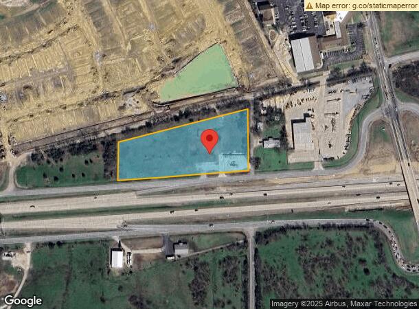
325 W Us Highway 82, Sherman, TX 75092


NEARBY LISTINGS FOR SALE OR LEASE
Property Detail
325 W Us Highway 82
121087
Mcanair J B
Commercialnec
G-0763 MCANAIR J B, ACRES 3.85
X
Grayson
48181C0290G
Texas
2024
3.85 AC
2024
Other Market Areas
000904
Sherman-Denison, TX
6,560 SF
DEMOGRAPHICS near 325 W Us Highway 82
1 Mile
3 Mile
5 Mile
2024 Total Population
4,512
31,506
53,365
2029 Population
5,133
35,669
60,635
Pop Growth 2024-2029
+ 13.76%
+ 13.21%
+ 13.62%
Average Age
40
38
38
2024 Total Households
1,991
12,228
20,642
HH Growth 2024-2029
+ 14.26%
+ 13.71%
+ 14.17%
Median Household Inc
$68,906
$54,113
$55,981
Avg Household Size
2.20
2.40
2.50
2024 Avg HH Vehicles
2.00
2.00
2.00
Median Home Value
$230,615
$218,026
$207,248
Median Year Built
1990
1975
1980
Nearby Places
- Restaurants
- Banks
- Shops
- Fitness
- Groceries
SALE & LEASE HISTORY
LISTING DATE
SALE/LEASE

Sep 25, 2016
For Lease
Sep 24, 2016
For Sale
Nearby Properties
Address
Land Use
TOTAL SIZE
Lot Size
Zoning
Address
Land Use
TOTAL SIZE
Lot Size
Zoning
Address
Land Use
TOTAL SIZE
Lot Size
Zoning
476,941 SF
29.79 AC
Address
Land Use
TOTAL SIZE
Lot Size
Zoning
253,076 SF
36.13 AC
Address
Land Use
TOTAL SIZE
Lot Size
Zoning
301,387 SF
10.66 AC
Address
Land Use
TOTAL SIZE
Lot Size
Zoning
429,486 SF
75.12 AC
Address
Land Use
TOTAL SIZE
Lot Size
Zoning
Address
Land Use
TOTAL SIZE
Lot Size
Zoning
175,388 SF
11.46 AC
Address
Land Use
TOTAL SIZE
Lot Size
Zoning
81,100 SF
1.13 AC
Address
Land Use
TOTAL SIZE
Lot Size
Zoning
136,640 SF
4.04 AC
Address
Land Use
TOTAL SIZE
Lot Size
Zoning
39,850 SF
5.32 AC
Address
Land Use
TOTAL SIZE
Lot Size
Zoning
151,714 SF
9.13 AC
Address
Land Use
TOTAL SIZE
Lot Size
Zoning
61,660 SF
6.50 AC
Address
Land Use
TOTAL SIZE
Lot Size
Zoning
316,318 SF
5.20 AC
Address
Land Use
TOTAL SIZE
Lot Size
Zoning
69,115 SF
10.52 AC
Address
Land Use
TOTAL SIZE
Lot Size
Zoning
81,577 SF
9.12 AC
Address
Land Use
TOTAL SIZE
Lot Size
Zoning
127,848 SF
9.60 AC
Address
Land Use
TOTAL SIZE
Lot Size
Zoning
204,000 SF
21.91 AC
Address
Land Use
TOTAL SIZE
Lot Size
Zoning
297,962 SF
51 AC
Address
Land Use
TOTAL SIZE
Lot Size
Zoning
94,560 SF
8.74 AC
Address
Land Use
TOTAL SIZE
Lot Size
Zoning
100,670 SF
17.73 AC
Address
Land Use
TOTAL SIZE
Lot Size
Zoning
162,000 SF
7.74 AC
Address
Land Use
TOTAL SIZE
Lot Size
Zoning
160,592 SF
8.92 AC
Address
Land Use
TOTAL SIZE
Lot Size
Zoning
137,904 SF
9.12 AC
Address
Land Use
TOTAL SIZE
Lot Size
Zoning
138,545 SF
Address
Land Use
TOTAL SIZE
Lot Size
Zoning
208,221 SF
15.48 AC
Address
Land Use
TOTAL SIZE
Lot Size
Zoning
81,096 SF
4.76 AC
Address
Land Use
TOTAL SIZE
Lot Size
Zoning
53,088 SF
5.16 AC
Address
Land Use
TOTAL SIZE
Lot Size
Zoning
89,808 SF
3.12 AC
Address
Land Use
TOTAL SIZE
Lot Size
Zoning
138,189 SF
9.28 AC
Address
Land Use
TOTAL SIZE
Lot Size
Zoning
91,360 SF
3.82 AC
The World's #1 Commercial Real Estate Marketplace
Connect with us
© 2025 CoStar Group
The information above has been obtained from sources believed reliable. While we do not doubt its accuracy we have not verified it and make no guarantee, warranty or representation about it. It is your responsibility to independently confirm its accuracy and completeness. Any projections, opinions, assumptions, or estimates used are for example only and do not represent the current or future performance of the property. The value of this transaction to you depends on tax and other factors which should be evaluated by your tax, financial, and legal advisors. You and your advisors should conduct a careful, independent investigation of the property to determine to your satisfaction the suitability of the property for your needs.