Property Record
3251 Chicago Dr Sw, Grandville, MI 49418
NEARBY LISTINGS FOR SALE OR LEASE
Property Detail
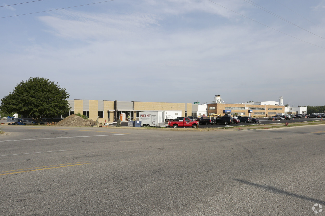
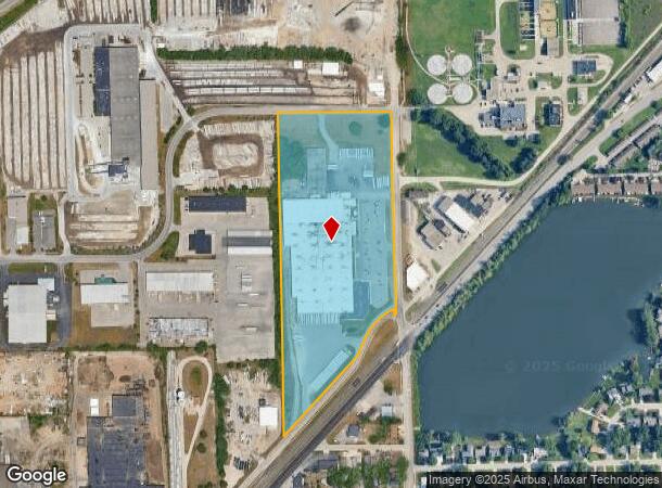
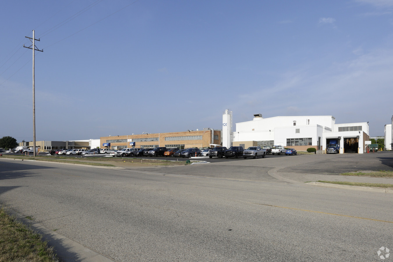
3251 Chicago Dr Sw
Grand Rapids-Wyoming, MI
S 425 FT OF W 600 FT OF E 655 FT OF E 1/2 NE 1/4 ALSO THAT PART OF E 1/2 E 1/2 SE 1/4 LYING NLY OF NLY LINE OF HWY OLD M21
41-17-08-426-015
Kent
Manufacturinglight
Michigan
2023
18.33 AC
2024
Southwestern Grand Rapids
0130001006
West Michigan
246,880 SF
DEMOGRAPHICS near 3251 Chicago Dr Sw
1 Mile
3 Mile
5 Mile
2024 Total Population
4,230
57,251
193,552
2029 Population
4,305
57,851
196,164
Pop Growth 2024-2029
+ 1.77%
+ 1.05%
+ 1.35%
Average Age
37
38
37
2024 Total Households
1,833
22,364
74,101
HH Growth 2024-2029
+ 2.07%
+ 1.16%
+ 1.48%
Median Household Inc
$62,878
$63,177
$64,803
Avg Household Size
2.30
2.50
2.50
2024 Avg HH Vehicles
2.00
2.00
2.00
Median Home Value
$178,048
$182,127
$202,726
Median Year Built
1969
1970
1969
Nearby Places
- Restaurants
- Banks
- Shops
- Fitness
- Groceries
PUBLIC TRANSPORTATION
COMMUTER RAIL
Grand Rapids Vernon J. Ehlers Station (Pere Marquette - Amtrak)
DRIVE
WALK
Distance
Grand Rapids Vernon J. Ehlers Station (Pere Marquette - Amtrak)
10 min
5.1 mi
AIRPORT
Gerald R Ford International
DRIVE
WALK
Distance
Gerald R Ford International
27 min
15.1 mi
Freight Ports
Port Milwaukee
DRIVE
WALK
Distance
Port Milwaukee
299 min
257.1 mi
Nearby Properties
Address
Land Use
TOTAL SIZE
Lot Size
Zoning
Address
Land Use
TOTAL SIZE
Lot Size
Zoning
79.40 AC
C-4
Address
Land Use
TOTAL SIZE
Lot Size
Zoning
12.64 AC
PUD
Address
Land Use
TOTAL SIZE
Lot Size
Zoning
899,034 SF
78.93 AC
B1
Address
Land Use
TOTAL SIZE
Lot Size
Zoning
307,361 SF
16.60 AC
R1-A
Address
Land Use
TOTAL SIZE
Lot Size
Zoning
398,607 SF
34.51 AC
R4
Address
Land Use
TOTAL SIZE
Lot Size
Zoning
87.39 AC
I2
Address
Land Use
TOTAL SIZE
Lot Size
Zoning
222,785 SF
26.69 AC
CS
Address
Land Use
TOTAL SIZE
Lot Size
Zoning
29.13 AC
Address
Land Use
TOTAL SIZE
Lot Size
Zoning
173,288 SF
4.17 AC
PUD
Address
Land Use
TOTAL SIZE
Lot Size
Zoning
251,562 SF
15.56 AC
MZ
Address
Land Use
TOTAL SIZE
Lot Size
Zoning
87,414 SF
14.72 AC
PUD
Address
Land Use
TOTAL SIZE
Lot Size
Zoning
293,441 SF
18 AC
I-1
Address
Land Use
TOTAL SIZE
Lot Size
Zoning
212,353 SF
1.48 AC
R4
Address
Land Use
TOTAL SIZE
Lot Size
Zoning
155,304 SF
17.58 AC
R3-B
Address
Land Use
TOTAL SIZE
Lot Size
Zoning
214,398 SF
18.66 AC
OS-2
Address
Land Use
TOTAL SIZE
Lot Size
Zoning
97,975 SF
12.88 AC
C-1
Address
Land Use
TOTAL SIZE
Lot Size
Zoning
89,648 SF
3.17 AC
OS-2
Address
Land Use
TOTAL SIZE
Lot Size
Zoning
169,788 SF
14.35 AC
FBC
Address
Land Use
TOTAL SIZE
Lot Size
Zoning
38,244 SF
3.17 AC
R1
Address
Land Use
TOTAL SIZE
Lot Size
Zoning
14.69 AC
R3-B
Address
Land Use
TOTAL SIZE
Lot Size
Zoning
175,940 SF
12.30 AC
SD-IT
Address
Land Use
TOTAL SIZE
Lot Size
Zoning
60,510 SF
13.84 AC
FBC
Address
Land Use
TOTAL SIZE
Lot Size
Zoning
9.65 AC
R3-B
Address
Land Use
TOTAL SIZE
Lot Size
Zoning
92,778 SF
9.90 AC
PUD
Address
Land Use
TOTAL SIZE
Lot Size
Zoning
61 AC
R6
Address
Land Use
TOTAL SIZE
Lot Size
Zoning
365,572 SF
29.56 AC
FBC
Address
Land Use
TOTAL SIZE
Lot Size
Zoning
162,228 SF
14.85 AC
R4
Address
Land Use
TOTAL SIZE
Lot Size
Zoning
13.53 AC
R1-A
Address
Land Use
TOTAL SIZE
Lot Size
Zoning
121,842 SF
9.80 AC
R4
Address
Land Use
TOTAL SIZE
Lot Size
Zoning
116,832 SF
16.25 AC
R4
The World's #1 Commercial Real Estate Marketplace
Connect with us
© 2025 CoStar Group
The information above has been obtained from sources believed reliable. While we do not doubt its accuracy we have not verified it and make no guarantee, warranty or representation about it. It is your responsibility to independently confirm its accuracy and completeness. Any projections, opinions, assumptions, or estimates used are for example only and do not represent the current or future performance of the property. The value of this transaction to you depends on tax and other factors which should be evaluated by your tax, financial, and legal advisors. You and your advisors should conduct a careful, independent investigation of the property to determine to your satisfaction the suitability of the property for your needs.