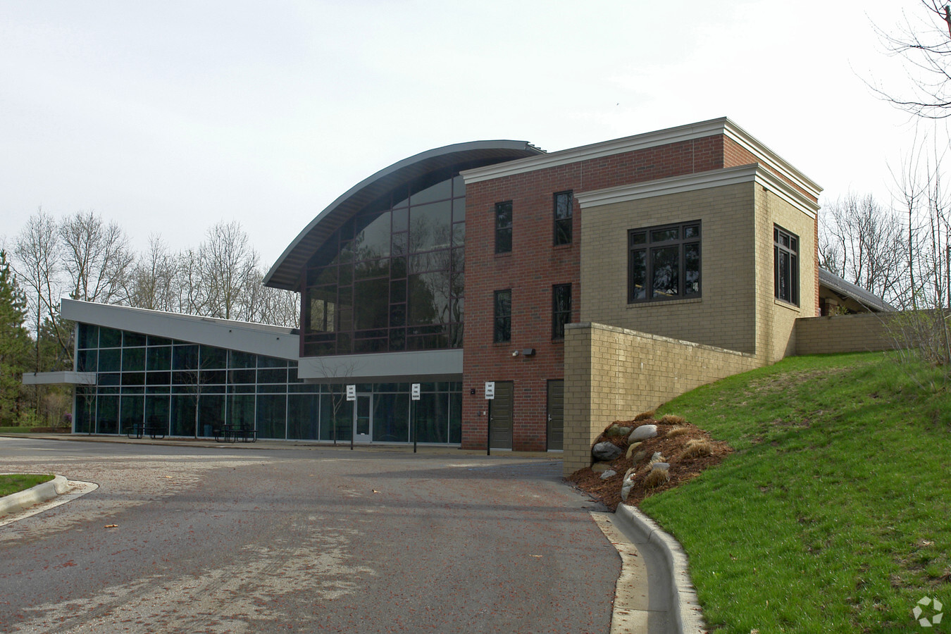
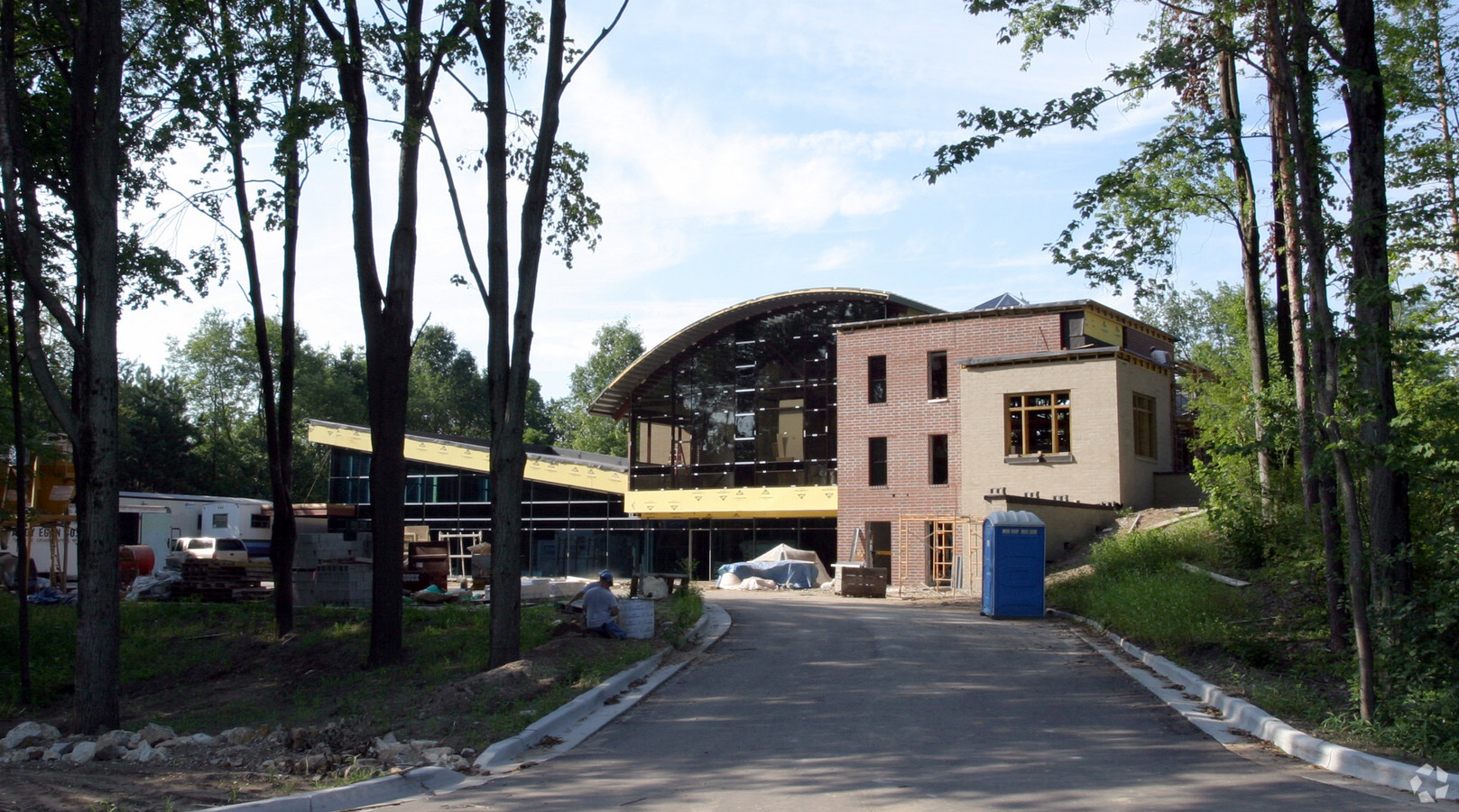
Property Record
3270 Evergreen Dr Ne, Grand Rapids, MI 49525

NEARBY LISTINGS FOR SALE OR LEASE
Property Detail
3270 Evergreen Dr Ne
Grand Rapids-Wyoming, MI
Evergreen Lake Office Park Kent County C
41-14-02-315-007
411402315007 UNIT NO.7 * EVERGREEN LAKE OFFICE PARK KENT COUNTY CONDOMINIUM SUBDIVISION PLAN NO.310 LIBER 3654 PAGE 289 AS
Commercialnec
Kent
2023
Michigan
2024
2.09 AC
0118014043
Northeast Grand Rapids
13,728 SF
West Michigan
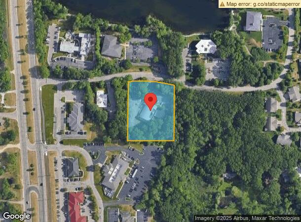
DEMOGRAPHICS near 3270 Evergreen Dr Ne
1 Mile
3 Mile
5 Mile
2024 Total Population
4,561
41,859
116,566
2029 Population
4,668
42,269
117,351
Pop Growth 2024-2029
+ 2.35%
+ 0.98%
+ 0.67%
Average Age
37
40
39
2024 Total Households
1,562
17,131
47,334
HH Growth 2024-2029
+ 2.24%
+ 0.91%
+ 0.63%
Median Household Inc
$115,589
$78,392
$75,900
Avg Household Size
2.80
2.40
2.40
2024 Avg HH Vehicles
3.00
2.00
2.00
Median Home Value
$379,862
$271,998
$262,474
Median Year Built
1996
1982
1968
Nearby Places
- Restaurants
- Banks
- Shops
- Fitness
- Groceries
PUBLIC TRANSPORTATION
COMMUTER RAIL
Grand Rapids Vernon J. Ehlers Station (Pere Marquette - Amtrak)
DRIVE
WALK
Distance
Grand Rapids Vernon J. Ehlers Station (Pere Marquette - Amtrak)
14 min
9.4 mi
AIRPORT
Gerald R Ford International
DRIVE
WALK
Distance
Gerald R Ford International
24 min
14.4 mi
Freight Ports
Port Milwaukee
DRIVE
WALK
Distance
Port Milwaukee
316 min
270.8 mi
Nearby Properties
Address
Land Use
TOTAL SIZE
Lot Size
Zoning
Address
Land Use
TOTAL SIZE
Lot Size
Zoning
Address
Land Use
TOTAL SIZE
Lot Size
Zoning
257,381 SF
7.08 AC
SD-PRD
Address
Land Use
TOTAL SIZE
Lot Size
Zoning
25.41 AC
Address
Land Use
TOTAL SIZE
Lot Size
Zoning
112,764 SF
17.29 AC
SD-PRD
Address
Land Use
TOTAL SIZE
Lot Size
Zoning
18.07 AC
MON-LDR
Address
Land Use
TOTAL SIZE
Lot Size
Zoning
21.77 AC
MCN-MDR
Address
Land Use
TOTAL SIZE
Lot Size
Zoning
47,370 SF
8.18 AC
MON-LDR
Address
Land Use
TOTAL SIZE
Lot Size
Zoning
Address
Land Use
TOTAL SIZE
Lot Size
Zoning
Address
Land Use
TOTAL SIZE
Lot Size
Zoning
24.96 AC
MCN-MDR
Address
Land Use
TOTAL SIZE
Lot Size
Zoning
247,954 SF
40.84 AC
SD-PRD
Address
Land Use
TOTAL SIZE
Lot Size
Zoning
158,449 SF
14.33 AC
MCN-MDR
Address
Land Use
TOTAL SIZE
Lot Size
Zoning
21.10 AC
MON-MDR
Address
Land Use
TOTAL SIZE
Lot Size
Zoning
145,127 SF
18.52 AC
SD-PRD
Address
Land Use
TOTAL SIZE
Lot Size
Zoning
22.63 AC
MCN-MDR
Address
Land Use
TOTAL SIZE
Lot Size
Zoning
16.34 AC
Address
Land Use
TOTAL SIZE
Lot Size
Zoning
56,095 SF
3.30 AC
SD-PRD
Address
Land Use
TOTAL SIZE
Lot Size
Zoning
Address
Land Use
TOTAL SIZE
Lot Size
Zoning
34,120 SF
5.81 AC
SD-PRD
Address
Land Use
TOTAL SIZE
Lot Size
Zoning
13.26 AC
MON-MDR
Address
Land Use
TOTAL SIZE
Lot Size
Zoning
16.29 AC
MCN-MDR
Address
Land Use
TOTAL SIZE
Lot Size
Zoning
58,686 SF
3.71 AC
SD-NOS
Address
Land Use
TOTAL SIZE
Lot Size
Zoning
14.36 AC
MON-MDR
Address
Land Use
TOTAL SIZE
Lot Size
Zoning
97,894 SF
5.90 AC
MCN-LDR
Address
Land Use
TOTAL SIZE
Lot Size
Zoning
53,126 SF
4.11 AC
SD-NOS
Address
Land Use
TOTAL SIZE
Lot Size
Zoning
86,593 SF
1.29 AC
TN-TBA
Address
Land Use
TOTAL SIZE
Lot Size
Zoning
1,461 SF
3.72 AC
SD-PRD
Address
Land Use
TOTAL SIZE
Lot Size
Zoning
95,362 SF
9.87 AC
MCN-LDR
Address
Land Use
TOTAL SIZE
Lot Size
Zoning
Address
Land Use
TOTAL SIZE
Lot Size
Zoning
83,800 SF
4.21 AC
MON-MDR
The World's #1 Commercial Real Estate Marketplace
Connect with us
© 2025 CoStar Group
The information above has been obtained from sources believed reliable. While we do not doubt its accuracy we have not verified it and make no guarantee, warranty or representation about it. It is your responsibility to independently confirm its accuracy and completeness. Any projections, opinions, assumptions, or estimates used are for example only and do not represent the current or future performance of the property. The value of this transaction to you depends on tax and other factors which should be evaluated by your tax, financial, and legal advisors. You and your advisors should conduct a careful, independent investigation of the property to determine to your satisfaction the suitability of the property for your needs.