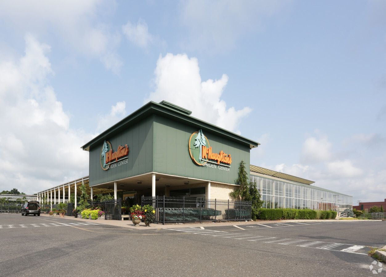
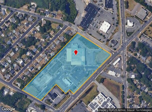
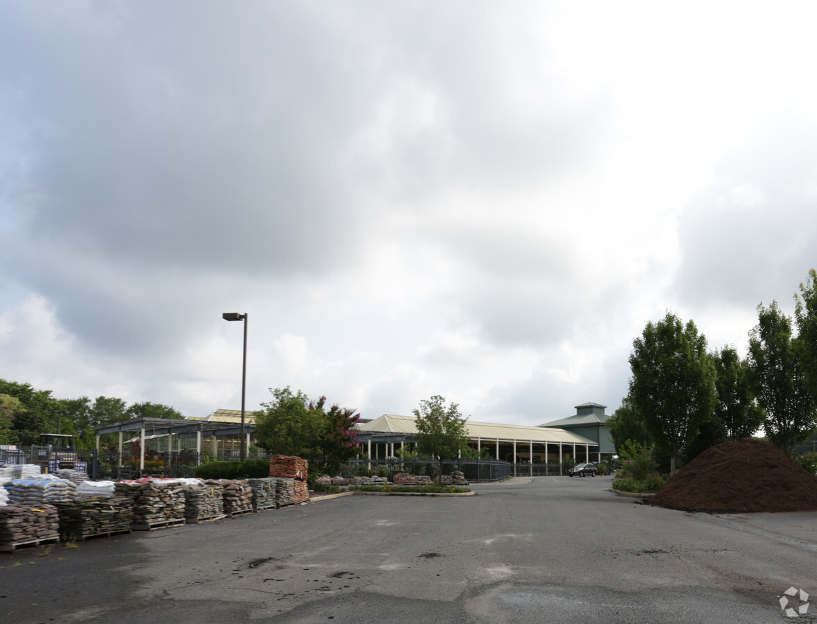
Property Record
331 New Rd, Somers Point, NJ 08244

NEARBY LISTINGS FOR SALE OR LEASE
Property Detail
331 New Rd
Atlantic City-Hammonton, NJ
Minor Sub
21-00516-0000-00013
FACILITY NAME: CONDOMINIUM M/L
Taxexempt
Atlantic
ARE
New Jersey
34001C0428F
13
0
8.88 AC
2024
Atlantic City/Hammonton
012701
Philadelphia
32,906 SF
DEMOGRAPHICS near 331 New Rd
1 Mile
3 Mile
5 Mile
2024 Total Population
8,654
26,767
72,472
2029 Population
8,570
26,450
73,284
Pop Growth 2024-2029
(0.97%)
(1.18%)
+ 1.12%
Average Age
43
43
45
2024 Total Households
3,708
10,577
29,699
HH Growth 2024-2029
(1.54%)
(1.66%)
+ 1.28%
Median Household Inc
$69,980
$86,402
$88,217
Avg Household Size
2.30
2.40
2.30
2024 Avg HH Vehicles
2.00
2.00
2.00
Median Home Value
$253,437
$268,161
$303,768
Median Year Built
1969
1972
1975
Nearby Places
- Restaurants
- Banks
- Shops
- Fitness
- Groceries
PUBLIC TRANSPORTATION
COMMUTER RAIL
Absecon (Atlantic City Line - NJ Transit Commuter Rail (NJ Transit))
DRIVE
WALK
Distance
Absecon (Atlantic City Line - NJ Transit Commuter Rail (NJ Transit))
17 min
9.0 mi
AIRPORT
Atlantic City International
DRIVE
WALK
Distance
Atlantic City International
40 min
13.7 mi
Freight Ports
Broadway Terminal - Pier 5
DRIVE
WALK
Distance
Broadway Terminal - Pier 5
73 min
55.9 mi
Nearby Properties
Address
Land Use
TOTAL SIZE
Lot Size
Zoning
Address
Land Use
TOTAL SIZE
Lot Size
Zoning
4.98 AC
SHOS
Address
Land Use
TOTAL SIZE
Lot Size
Zoning
6,000 SF
28.83 AC
INST
Address
Land Use
TOTAL SIZE
Lot Size
Zoning
16.33 AC
R-MF
Address
Land Use
TOTAL SIZE
Lot Size
Zoning
15.20 AC
R-MF
Address
Land Use
TOTAL SIZE
Lot Size
Zoning
17.37 AC
REDE
Address
Land Use
TOTAL SIZE
Lot Size
Zoning
3.34 AC
R-1
Address
Land Use
TOTAL SIZE
Lot Size
Zoning
6.75 AC
R-1
Address
Land Use
TOTAL SIZE
Lot Size
Zoning
2.21 AC
SHOS
Address
Land Use
TOTAL SIZE
Lot Size
Zoning
8.41 AC
R-MF
Address
Land Use
TOTAL SIZE
Lot Size
Zoning
9.20 AC
GB
Address
Land Use
TOTAL SIZE
Lot Size
Zoning
4.81 AC
R-MF
Address
Land Use
TOTAL SIZE
Lot Size
Zoning
8.56 AC
R-MF
Address
Land Use
TOTAL SIZE
Lot Size
Zoning
5.02 AC
R-MF
Address
Land Use
TOTAL SIZE
Lot Size
Zoning
4.74 AC
INST
Address
Land Use
TOTAL SIZE
Lot Size
Zoning
36.54 AC
Address
Land Use
TOTAL SIZE
Lot Size
Zoning
2,680 SF
2.32 AC
INST
Address
Land Use
TOTAL SIZE
Lot Size
Zoning
61,193 SF
6.97 AC
GB
Address
Land Use
TOTAL SIZE
Lot Size
Zoning
4.42 AC
TC&F
Address
Land Use
TOTAL SIZE
Lot Size
Zoning
2.98 AC
R-1
Address
Land Use
TOTAL SIZE
Lot Size
Zoning
2.84 AC
BUS
Address
Land Use
TOTAL SIZE
Lot Size
Zoning
8.73 AC
RECA
Address
Land Use
TOTAL SIZE
Lot Size
Zoning
11 AC
BUS
Address
Land Use
TOTAL SIZE
Lot Size
Zoning
6.43 AC
GB
Address
Land Use
TOTAL SIZE
Lot Size
Zoning
52,280 SF
9.96 AC
GB
Address
Land Use
TOTAL SIZE
Lot Size
Zoning
1.21 AC
SHOS
Address
Land Use
TOTAL SIZE
Lot Size
Zoning
38,090 SF
4.73 AC
O-PB
Address
Land Use
TOTAL SIZE
Lot Size
Zoning
24,484 SF
4 AC
R-1
Address
Land Use
TOTAL SIZE
Lot Size
Zoning
14.01 AC
INST
Address
Land Use
TOTAL SIZE
Lot Size
Zoning
107,676 SF
3.70 AC
R-MF
Address
Land Use
TOTAL SIZE
Lot Size
Zoning
5.05 AC
GB
The World's #1 Commercial Real Estate Marketplace
Connect with us
© 2025 CoStar Group
The information above has been obtained from sources believed reliable. While we do not doubt its accuracy we have not verified it and make no guarantee, warranty or representation about it. It is your responsibility to independently confirm its accuracy and completeness. Any projections, opinions, assumptions, or estimates used are for example only and do not represent the current or future performance of the property. The value of this transaction to you depends on tax and other factors which should be evaluated by your tax, financial, and legal advisors. You and your advisors should conduct a careful, independent investigation of the property to determine to your satisfaction the suitability of the property for your needs.