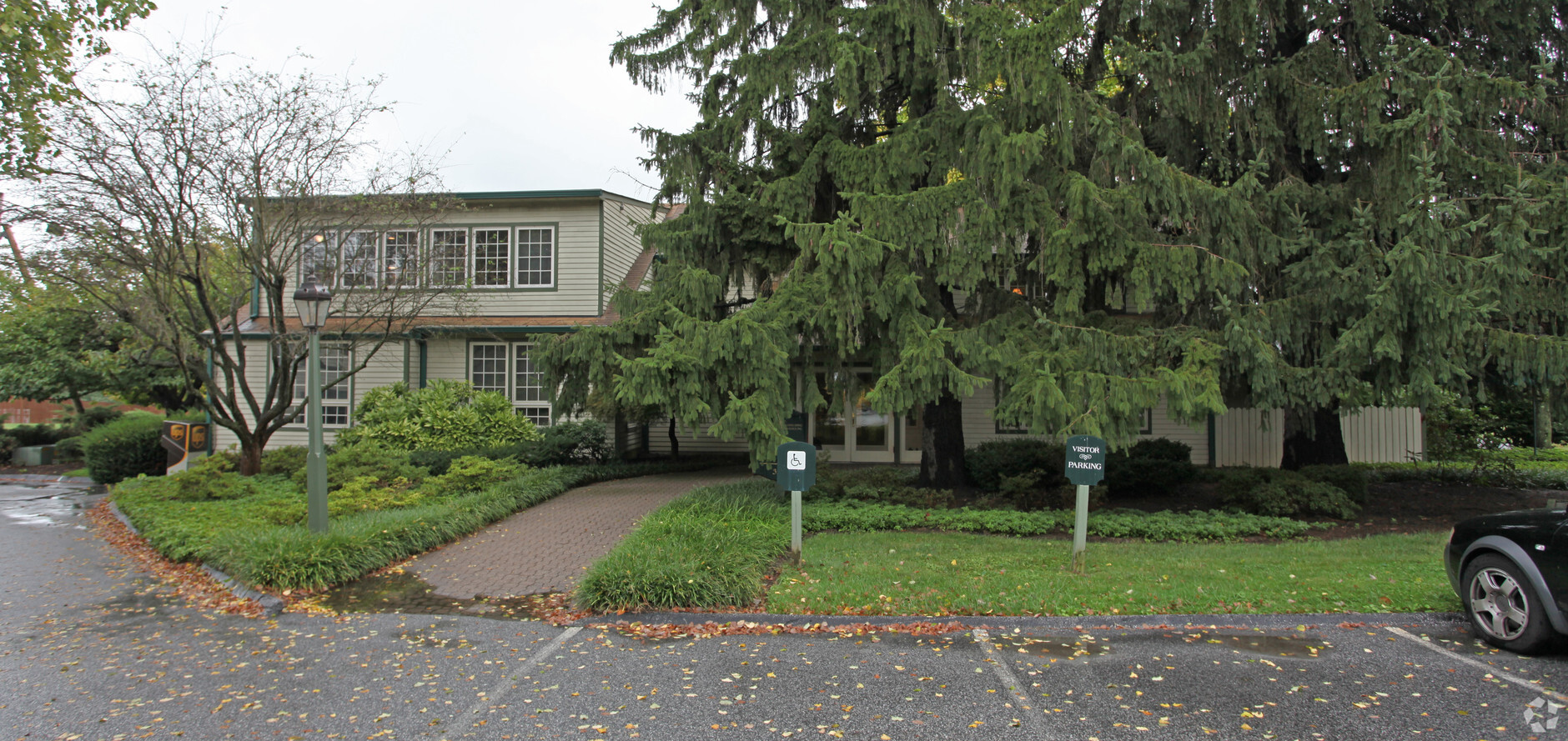
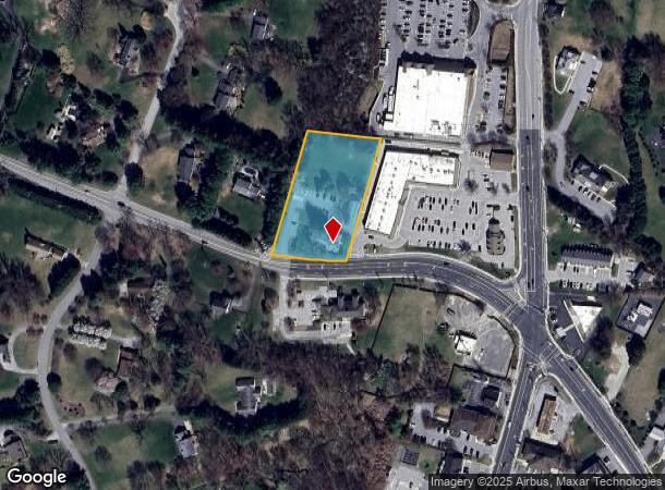
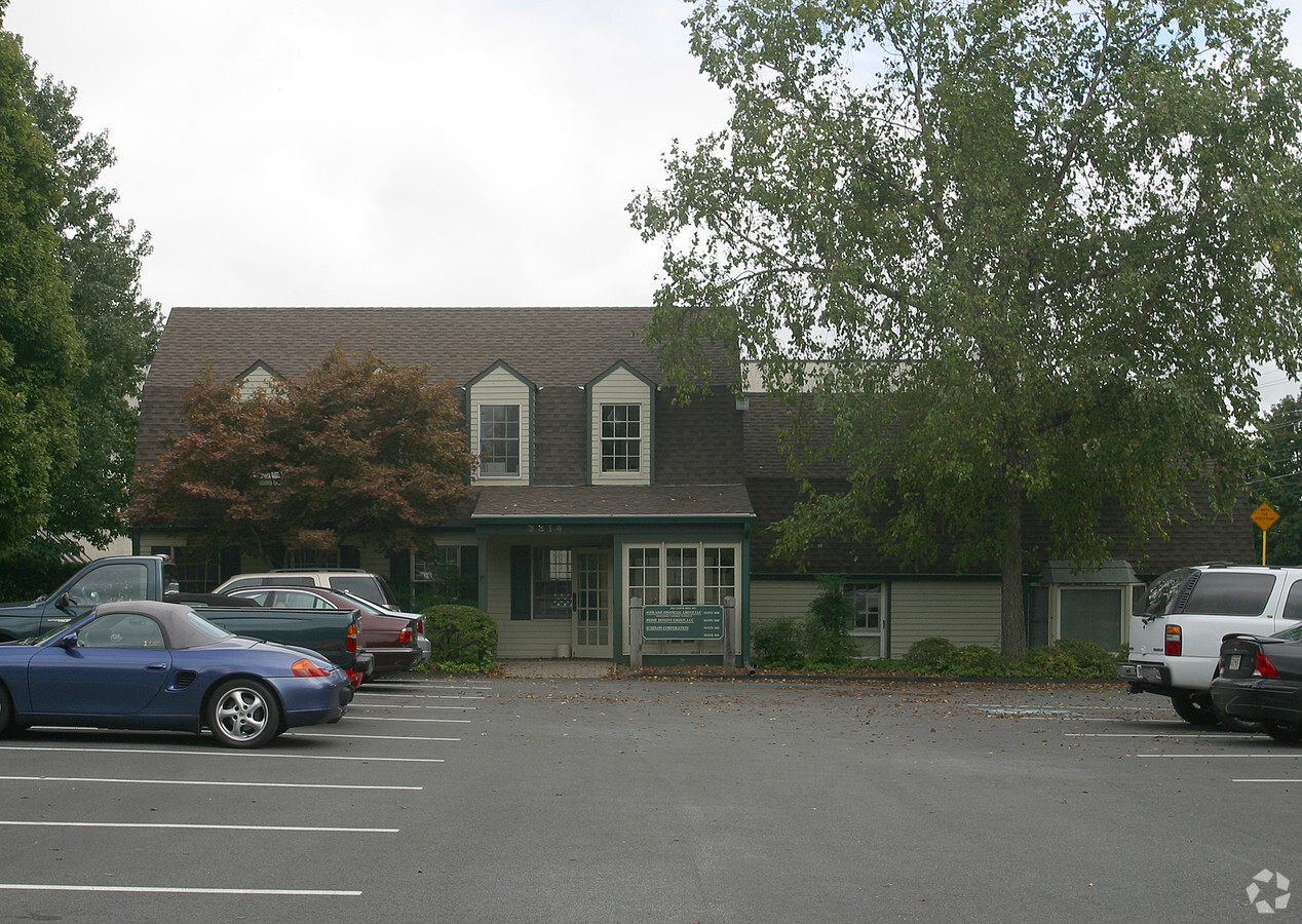
Property Record
3314 Paper Mill Rd, Phoenix, MD 21131
NEARBY LISTINGS FOR SALE OR LEASE
-
-
View all Phoenix listings for sale on LoopNet.com
Property Detail
3314 Paper Mill Rd
Baltimore-Columbia-Towson, MD
Taylors Purchase
10-1011035200
1.75 AC NS
Commercialacreage
Baltimore
X
Maryland
2400100145G
1.75 AC
2024
Route 83 Corridor North
2024
Baltimore
410100
DEMOGRAPHICS near 3314 Paper Mill Rd
1 Mile
3 Mile
5 Mile
2024 Total Population
1,800
8,676
38,555
2029 Population
1,765
8,516
38,233
Pop Growth 2024-2029
(1.94%)
(1.84%)
(0.84%)
Average Age
44
44
43
2024 Total Households
629
3,006
15,185
HH Growth 2024-2029
(1.91%)
(1.90%)
(0.89%)
Median Household Inc
$175,757
$180,684
$108,886
Avg Household Size
2.80
2.90
2.40
2024 Avg HH Vehicles
2.00
3.00
2.00
Median Home Value
$572,452
$628,858
$487,587
Median Year Built
1975
1977
1977
Nearby Places
- Restaurants
- Banks
- Shops
- Fitness
- Groceries
PUBLIC TRANSPORTATION
AIRPORT
Baltimore/Washington International Thurgood Marshall
DRIVE
WALK
Distance
Baltimore/Washington International Thurgood Marshall
53 min
33.0 mi
Freight Ports
Port of Baltimore
DRIVE
WALK
Distance
Port of Baltimore
44 min
26.5 mi
Nearby Properties
Address
Land Use
TOTAL SIZE
Lot Size
Zoning
Address
Land Use
TOTAL SIZE
Lot Size
Zoning
5,465 SF
13.63 AC
BL
Address
Land Use
TOTAL SIZE
Lot Size
Zoning
26,323 SF
13.57 AC
RC2
Address
Land Use
TOTAL SIZE
Lot Size
Zoning
15,520 SF
28.64 AC
RC5
Address
Land Use
TOTAL SIZE
Lot Size
Zoning
3.96 AC
BL-CR
Address
Land Use
TOTAL SIZE
Lot Size
Zoning
51,500 SF
147.51 AC
RC4
Address
Land Use
TOTAL SIZE
Lot Size
Zoning
17,576 SF
115.91 AC
RC4
Address
Land Use
TOTAL SIZE
Lot Size
Zoning
25,073 SF
249.67 AC
Address
Land Use
TOTAL SIZE
Lot Size
Zoning
36,030 SF
4.49 AC
BL
Address
Land Use
TOTAL SIZE
Lot Size
Zoning
44 SF
Address
Land Use
TOTAL SIZE
Lot Size
Zoning
12,871 SF
53.99 AC
Address
Land Use
TOTAL SIZE
Lot Size
Zoning
1,536 SF
243 AC
Address
Land Use
TOTAL SIZE
Lot Size
Zoning
1,305 SF
232.15 AC
Address
Land Use
TOTAL SIZE
Lot Size
Zoning
12,771 SF
17 AC
Address
Land Use
TOTAL SIZE
Lot Size
Zoning
9,792 SF
68.78 AC
Address
Land Use
TOTAL SIZE
Lot Size
Zoning
17,434 SF
5.14 AC
Address
Land Use
TOTAL SIZE
Lot Size
Zoning
10,709 SF
90.27 AC
Address
Land Use
TOTAL SIZE
Lot Size
Zoning
11,674 SF
104.39 AC
Address
Land Use
TOTAL SIZE
Lot Size
Zoning
13,240 SF
57.41 AC
Address
Land Use
TOTAL SIZE
Lot Size
Zoning
3,000 SF
1.67 AC
BM-CR
Address
Land Use
TOTAL SIZE
Lot Size
Zoning
13,032 SF
132.04 AC
Address
Land Use
TOTAL SIZE
Lot Size
Zoning
44.85 AC
Address
Land Use
TOTAL SIZE
Lot Size
Zoning
10,369 SF
23.16 AC
RC2
Address
Land Use
TOTAL SIZE
Lot Size
Zoning
10,474 SF
57.44 AC
Address
Land Use
TOTAL SIZE
Lot Size
Zoning
9,563 SF
41.14 AC
Address
Land Use
TOTAL SIZE
Lot Size
Zoning
3,412 SF
106 AC
Address
Land Use
TOTAL SIZE
Lot Size
Zoning
7,308 SF
54.87 AC
Address
Land Use
TOTAL SIZE
Lot Size
Zoning
6,300 SF
5.61 AC
Address
Land Use
TOTAL SIZE
Lot Size
Zoning
6,600 SF
5.02 AC
BLCR
Address
Land Use
TOTAL SIZE
Lot Size
Zoning
8,948 SF
53.01 AC
RC2
Address
Land Use
TOTAL SIZE
Lot Size
Zoning
16,632 SF
2.74 AC
BL-CR
The World's #1 Commercial Real Estate Marketplace
Connect with us
© 2025 CoStar Group
The information above has been obtained from sources believed reliable. While we do not doubt its accuracy we have not verified it and make no guarantee, warranty or representation about it. It is your responsibility to independently confirm its accuracy and completeness. Any projections, opinions, assumptions, or estimates used are for example only and do not represent the current or future performance of the property. The value of this transaction to you depends on tax and other factors which should be evaluated by your tax, financial, and legal advisors. You and your advisors should conduct a careful, independent investigation of the property to determine to your satisfaction the suitability of the property for your needs.