Property Record
3323 Magnolia Rd Nw, Magnolia, OH 44643
NEARBY LISTINGS FOR SALE OR LEASE
-
-
View all Magnolia listings for sale on LoopNet.com
Property Detail
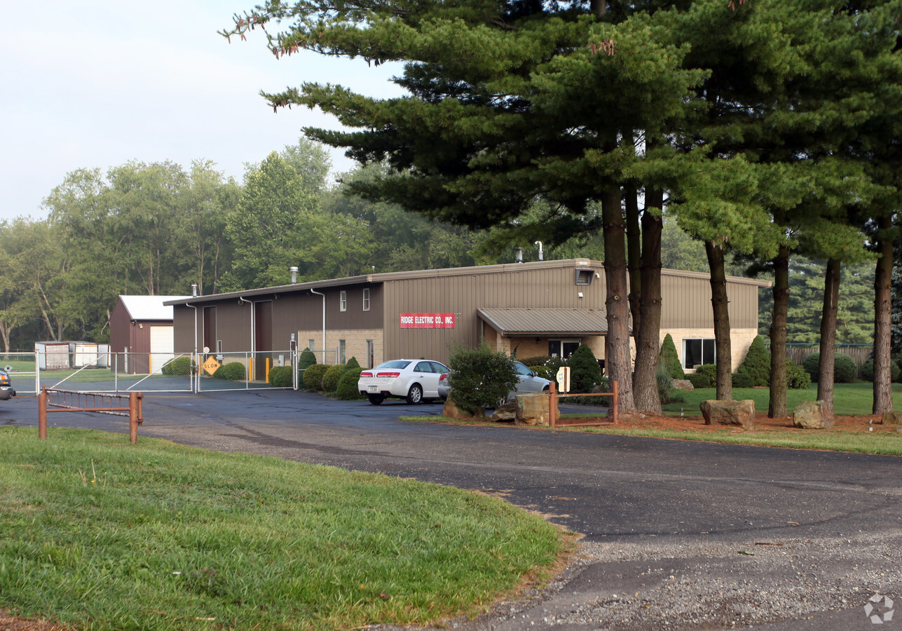
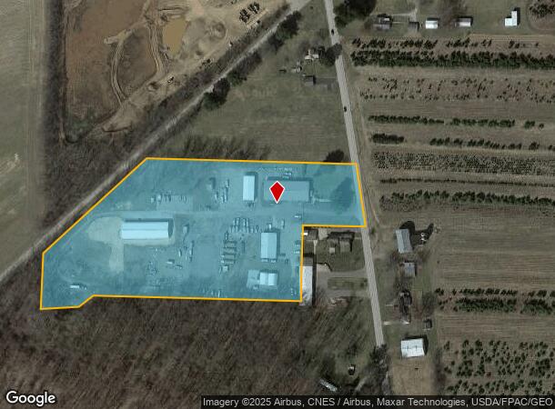
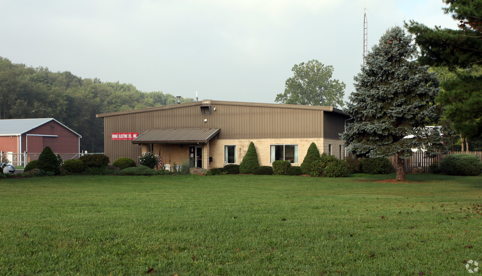
3323 Magnolia Rd Nw
31-0001684.000
7 16 29 PT NW 8.725A
Commercialnec
Carroll
X
Ohio
39157C0100E
8.72 AC
2023
Carroll County
2023
Cleveland
720400
Canton-Massillon, OH
3,000 SF
DEMOGRAPHICS near 3323 Magnolia Rd Nw
1 Mile
3 Mile
5 Mile
2024 Total Population
421
3,326
7,700
2029 Population
407
3,200
7,458
Pop Growth 2024-2029
(3.33%)
(3.79%)
(3.14%)
Average Age
42
42
42
2024 Total Households
170
1,316
3,094
HH Growth 2024-2029
(3.53%)
(3.80%)
(3.17%)
Median Household Inc
$66,346
$56,586
$56,996
Avg Household Size
2.50
2.50
2.50
2024 Avg HH Vehicles
2.00
2.00
2.00
Median Home Value
$169,999
$154,304
$153,603
Median Year Built
1953
1961
1960
Nearby Places
- Restaurants
- Banks
- Shops
- Fitness
- Groceries
PUBLIC TRANSPORTATION
AIRPORT
Akron-Canton Regional
DRIVE
WALK
Distance
Akron-Canton Regional
37 min
24.6 mi
Freight Ports
Port of Toledo
DRIVE
WALK
Distance
Port of Toledo
208 min
171.9 mi
Nearby Properties
Address
Land Use
TOTAL SIZE
Lot Size
Zoning
Address
Land Use
TOTAL SIZE
Lot Size
Zoning
142,237 SF
55.37 AC
Address
Land Use
TOTAL SIZE
Lot Size
Zoning
18,503 SF
50.58 AC
Address
Land Use
TOTAL SIZE
Lot Size
Zoning
3,321 SF
82.88 AC
Address
Land Use
TOTAL SIZE
Lot Size
Zoning
45,330 SF
6.92 AC
Address
Land Use
TOTAL SIZE
Lot Size
Zoning
27,063 SF
3.22 AC
Address
Land Use
TOTAL SIZE
Lot Size
Zoning
12,044 SF
6.64 AC
Address
Land Use
TOTAL SIZE
Lot Size
Zoning
8,580 SF
80.48 AC
Address
Land Use
TOTAL SIZE
Lot Size
Zoning
24.66 AC
Address
Land Use
TOTAL SIZE
Lot Size
Zoning
2,885 SF
98.96 AC
Address
Land Use
TOTAL SIZE
Lot Size
Zoning
12,882 SF
4.88 AC
Address
Land Use
TOTAL SIZE
Lot Size
Zoning
11,532 SF
5.79 AC
Address
Land Use
TOTAL SIZE
Lot Size
Zoning
114.50 AC
Address
Land Use
TOTAL SIZE
Lot Size
Zoning
2,784 SF
77.95 AC
Address
Land Use
TOTAL SIZE
Lot Size
Zoning
6,072 SF
1 AC
Address
Land Use
TOTAL SIZE
Lot Size
Zoning
924 SF
252.74 AC
Address
Land Use
TOTAL SIZE
Lot Size
Zoning
1,940 SF
147.91 AC
Address
Land Use
TOTAL SIZE
Lot Size
Zoning
1,844 SF
81.96 AC
Address
Land Use
TOTAL SIZE
Lot Size
Zoning
2,328 SF
4.20 AC
Address
Land Use
TOTAL SIZE
Lot Size
Zoning
4,000 SF
4 AC
Address
Land Use
TOTAL SIZE
Lot Size
Zoning
82.60 AC
Address
Land Use
TOTAL SIZE
Lot Size
Zoning
3,080 SF
117.47 AC
Address
Land Use
TOTAL SIZE
Lot Size
Zoning
7,880 SF
79.92 AC
Address
Land Use
TOTAL SIZE
Lot Size
Zoning
2,199 SF
21.29 AC
Address
Land Use
TOTAL SIZE
Lot Size
Zoning
1,840 SF
47.50 AC
Address
Land Use
TOTAL SIZE
Lot Size
Zoning
Address
Land Use
TOTAL SIZE
Lot Size
Zoning
2,300 SF
24.35 AC
Address
Land Use
TOTAL SIZE
Lot Size
Zoning
2,220 SF
6 AC
Address
Land Use
TOTAL SIZE
Lot Size
Zoning
2,190 SF
81.50 AC
Address
Land Use
TOTAL SIZE
Lot Size
Zoning
4,123 SF
73.57 AC
Address
Land Use
TOTAL SIZE
Lot Size
Zoning
1,620 SF
100.08 AC
The World's #1 Commercial Real Estate Marketplace
Connect with us
© 2025 CoStar Group
The information above has been obtained from sources believed reliable. While we do not doubt its accuracy we have not verified it and make no guarantee, warranty or representation about it. It is your responsibility to independently confirm its accuracy and completeness. Any projections, opinions, assumptions, or estimates used are for example only and do not represent the current or future performance of the property. The value of this transaction to you depends on tax and other factors which should be evaluated by your tax, financial, and legal advisors. You and your advisors should conduct a careful, independent investigation of the property to determine to your satisfaction the suitability of the property for your needs.