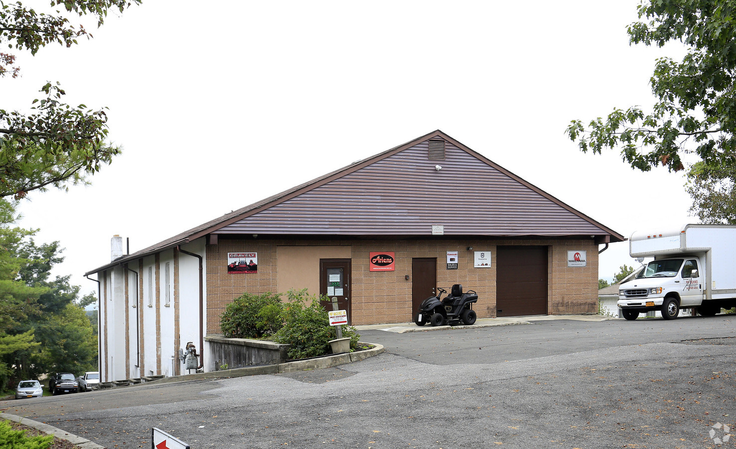
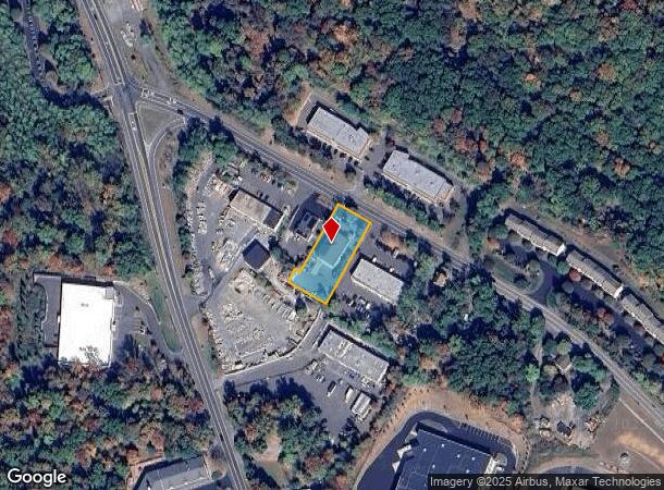
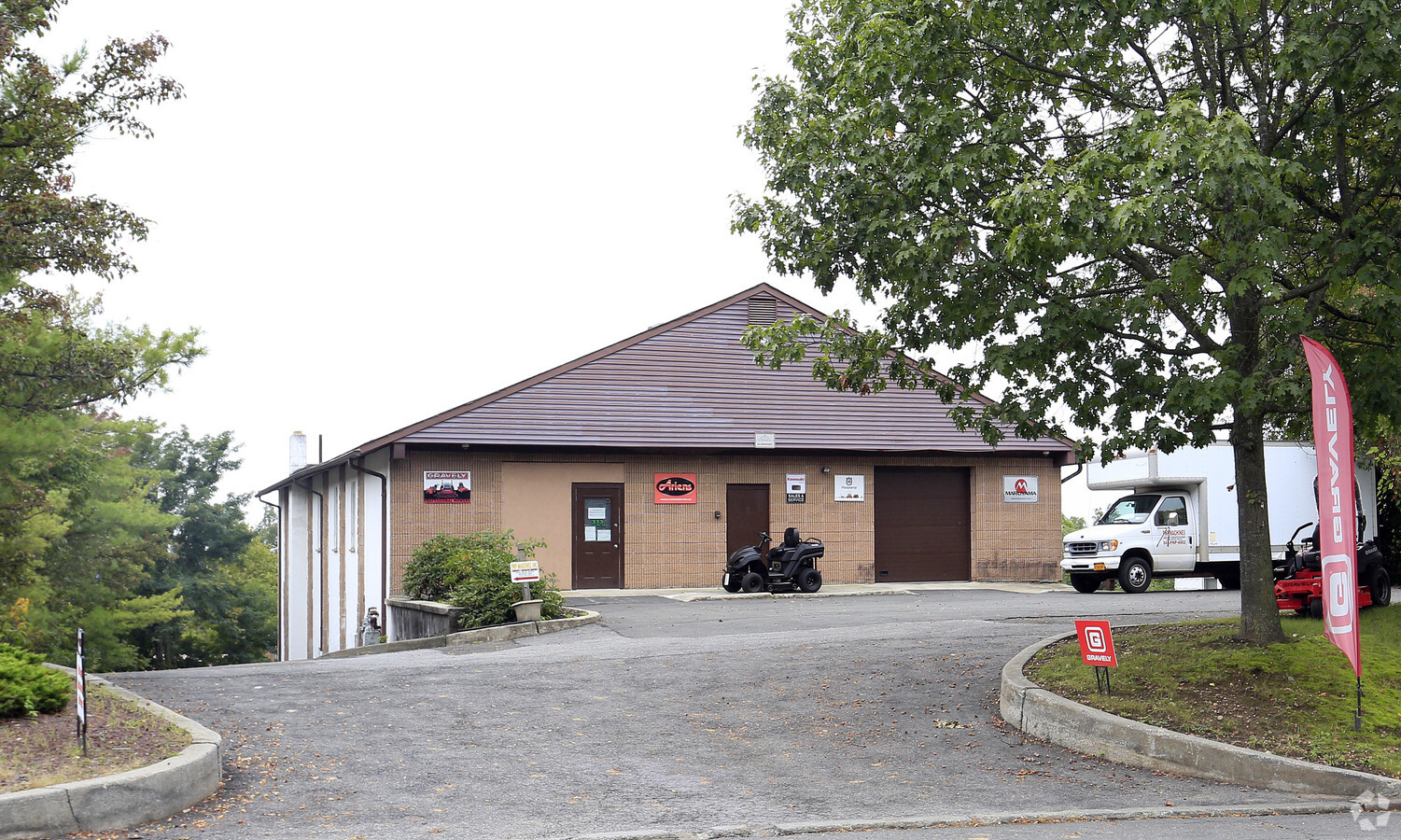
Property Record
333 N Route 9W, Congers, NY 10920
NEARBY LISTINGS FOR SALE OR LEASE
Property Detail
333 N Route 9W
New York-Jersey City-White Plains, NY-NJ
Guiseppe Depaulis
392089-035-020-0001-015-000-0000
CHANGE OF LOT LINES WITH 129-A-5.1
Warehouse
Rockland
X
New York
36087C0116G
15.000
2023
0.58 AC
2023
Clarkstown
010902
Northern New Jersey
8,500 SF
DEMOGRAPHICS near 333 N Route 9W
1 Mile
3 Mile
5 Mile
2024 Total Population
2,931
31,191
131,601
2029 Population
2,905
30,941
129,839
Pop Growth 2024-2029
(0.89%)
(0.80%)
(1.34%)
Average Age
43
41
42
2024 Total Households
1,023
10,259
45,373
HH Growth 2024-2029
(0.98%)
(0.69%)
(1.44%)
Median Household Inc
$121,531
$114,854
$108,658
Avg Household Size
2.80
2.90
2.80
2024 Avg HH Vehicles
2.00
2.00
2.00
Median Home Value
$480,487
$521,716
$491,367
Median Year Built
1979
1970
1967
Nearby Places
- Restaurants
- Banks
- Shops
- Fitness
- Groceries
PUBLIC TRANSPORTATION
AIRPORT
Westchester County
DRIVE
WALK
Distance
Westchester County
34 min
25.0 mi
New York Stewart International
DRIVE
WALK
Distance
New York Stewart International
49 min
32.9 mi
Laguardia
DRIVE
WALK
Distance
Laguardia
53 min
37.7 mi
Freight Ports
NY - Red Hook Container Terminal
DRIVE
WALK
Distance
NY - Red Hook Container Terminal
65 min
40.9 mi
Nearby Properties
Address
Land Use
TOTAL SIZE
Lot Size
Zoning
Address
Land Use
TOTAL SIZE
Lot Size
Zoning
97,420 SF
37.26 AC
Address
Land Use
TOTAL SIZE
Lot Size
Zoning
Address
Land Use
TOTAL SIZE
Lot Size
Zoning
89,109 SF
10.71 AC
164
Address
Land Use
TOTAL SIZE
Lot Size
Zoning
201.67 AC
Address
Land Use
TOTAL SIZE
Lot Size
Zoning
105,994 SF
2.02 AC
140
Address
Land Use
TOTAL SIZE
Lot Size
Zoning
131,581 SF
2.62 AC
140
Address
Land Use
TOTAL SIZE
Lot Size
Zoning
46,164 SF
0.52 AC
168
Address
Land Use
TOTAL SIZE
Lot Size
Zoning
133,039 SF
14.80 AC
CS
Address
Land Use
TOTAL SIZE
Lot Size
Zoning
99,600 SF
13.40 AC
Address
Land Use
TOTAL SIZE
Lot Size
Zoning
181,393 SF
21.55 AC
166
Address
Land Use
TOTAL SIZE
Lot Size
Zoning
179,720 SF
15.30 AC
Address
Land Use
TOTAL SIZE
Lot Size
Zoning
73,000 SF
5.10 AC
05 - COMME
Address
Land Use
TOTAL SIZE
Lot Size
Zoning
75.03 AC
164
Address
Land Use
TOTAL SIZE
Lot Size
Zoning
17,968 SF
5.90 AC
Address
Land Use
TOTAL SIZE
Lot Size
Zoning
130,930 SF
11 AC
Address
Land Use
TOTAL SIZE
Lot Size
Zoning
99,725 SF
17.78 AC
Address
Land Use
TOTAL SIZE
Lot Size
Zoning
5,250 SF
4.92 AC
161
Address
Land Use
TOTAL SIZE
Lot Size
Zoning
57,392 SF
3.40 AC
Address
Land Use
TOTAL SIZE
Lot Size
Zoning
74.45 AC
166
Address
Land Use
TOTAL SIZE
Lot Size
Zoning
3,864 SF
11.80 AC
164
Address
Land Use
TOTAL SIZE
Lot Size
Zoning
28,000 SF
1.70 AC
164
Address
Land Use
TOTAL SIZE
Lot Size
Zoning
35,921 SF
6.10 AC
Address
Land Use
TOTAL SIZE
Lot Size
Zoning
36,984 SF
10.80 AC
Address
Land Use
TOTAL SIZE
Lot Size
Zoning
6,688 SF
3.86 AC
Address
Land Use
TOTAL SIZE
Lot Size
Zoning
51.30 AC
164
Address
Land Use
TOTAL SIZE
Lot Size
Zoning
49,845 SF
12.70 AC
Address
Land Use
TOTAL SIZE
Lot Size
Zoning
111,550 SF
9.29 AC
LI
Address
Land Use
TOTAL SIZE
Lot Size
Zoning
12,900 SF
0.23 AC
130
Address
Land Use
TOTAL SIZE
Lot Size
Zoning
35 AC
Address
Land Use
TOTAL SIZE
Lot Size
Zoning
3,980 SF
39 AC
The World's #1 Commercial Real Estate Marketplace
Connect with us
© 2025 CoStar Group
The information above has been obtained from sources believed reliable. While we do not doubt its accuracy we have not verified it and make no guarantee, warranty or representation about it. It is your responsibility to independently confirm its accuracy and completeness. Any projections, opinions, assumptions, or estimates used are for example only and do not represent the current or future performance of the property. The value of this transaction to you depends on tax and other factors which should be evaluated by your tax, financial, and legal advisors. You and your advisors should conduct a careful, independent investigation of the property to determine to your satisfaction the suitability of the property for your needs.