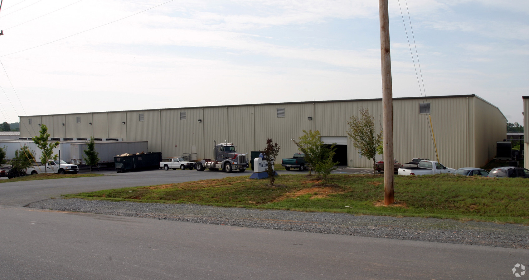
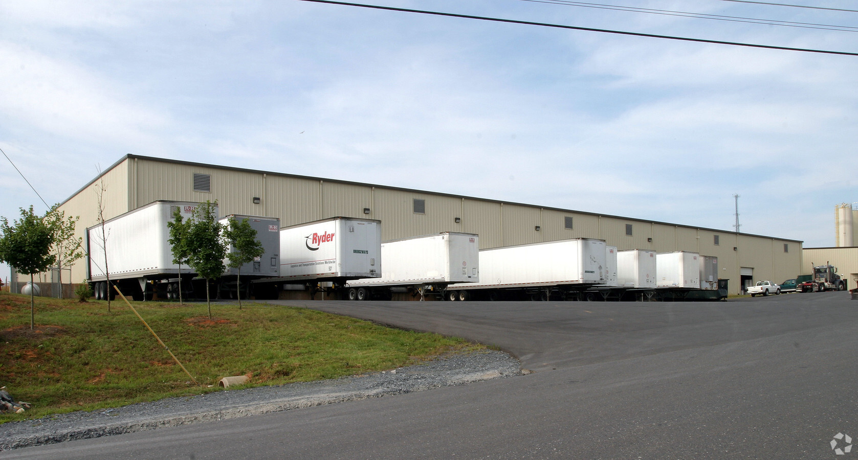
Property Record
335 Waketa Dr, Asheboro, NC 27203

NEARBY LISTINGS FOR SALE OR LEASE
Property Detail
335 Waketa Dr
Greensboro-High Point, NC
Commerce Place Ii
7754-80-4130
COMMERCE PLACE II;L11 PL:PB55-PG87
Warehouse
Randolph
X
North Carolina
3710774400J
11
2024
2.53 AC
2024
Randleman
031402
Greensboro/Winston-Salem
81,000 SF
DEMOGRAPHICS near 335 Waketa Dr
1 Mile
3 Mile
5 Mile
2024 Total Population
1,805
16,875
31,557
2029 Population
1,870
17,499
32,774
Pop Growth 2024-2029
+ 3.60%
+ 3.70%
+ 3.86%
Average Age
37
38
39
2024 Total Households
670
6,621
12,314
HH Growth 2024-2029
+ 3.43%
+ 3.62%
+ 3.79%
Median Household Inc
$59,999
$56,276
$53,554
Avg Household Size
2.60
2.50
2.50
2024 Avg HH Vehicles
2.00
2.00
2.00
Median Home Value
$135,497
$137,302
$141,273
Median Year Built
1988
1985
1983
Nearby Places
- Restaurants
- Banks
- Shops
- Fitness
- Groceries
PUBLIC TRANSPORTATION
AIRPORT
Piedmont Triad International
DRIVE
WALK
Distance
Piedmont Triad International
38 min
28.0 mi
Freight Ports
Port of Wilmington
DRIVE
WALK
Distance
Port of Wilmington
233 min
195.3 mi
Nearby Properties
Address
Land Use
TOTAL SIZE
Lot Size
Zoning
Address
Land Use
TOTAL SIZE
Lot Size
Zoning
31,320 SF
46.13 AC
I2
Address
Land Use
TOTAL SIZE
Lot Size
Zoning
7,782 SF
62.37 AC
I1
Address
Land Use
TOTAL SIZE
Lot Size
Zoning
36,106 SF
28.62 AC
I2 (CZ)
Address
Land Use
TOTAL SIZE
Lot Size
Zoning
283,127 SF
95.67 AC
I2
Address
Land Use
TOTAL SIZE
Lot Size
Zoning
238 SF
30.24 AC
I3
Address
Land Use
TOTAL SIZE
Lot Size
Zoning
1,600 SF
46.32 AC
I1
Address
Land Use
TOTAL SIZE
Lot Size
Zoning
4,800 SF
24.07 AC
RA6
Address
Land Use
TOTAL SIZE
Lot Size
Zoning
63,115 SF
29.70 AC
I1
Address
Land Use
TOTAL SIZE
Lot Size
Zoning
151,525 SF
16.92 AC
B2
Address
Land Use
TOTAL SIZE
Lot Size
Zoning
26.07 AC
B2
Address
Land Use
TOTAL SIZE
Lot Size
Zoning
143,671 SF
11.48 AC
I2
Address
Land Use
TOTAL SIZE
Lot Size
Zoning
172,096 SF
11.84 AC
I2
Address
Land Use
TOTAL SIZE
Lot Size
Zoning
4,224 SF
13.69 AC
OA6 (CZ)
Address
Land Use
TOTAL SIZE
Lot Size
Zoning
7,168 SF
13.75 AC
RA6
Address
Land Use
TOTAL SIZE
Lot Size
Zoning
159,217 SF
25.99 AC
I1
Address
Land Use
TOTAL SIZE
Lot Size
Zoning
201,008 SF
15.65 AC
I1
Address
Land Use
TOTAL SIZE
Lot Size
Zoning
138,047 SF
31.10 AC
I2
Address
Land Use
TOTAL SIZE
Lot Size
Zoning
1,948 SF
71.18 AC
I3
Address
Land Use
TOTAL SIZE
Lot Size
Zoning
4,800 SF
6.64 AC
RA6
Address
Land Use
TOTAL SIZE
Lot Size
Zoning
125,738 SF
27.16 AC
I2
Address
Land Use
TOTAL SIZE
Lot Size
Zoning
25,184 SF
8.23 AC
RA6
Address
Land Use
TOTAL SIZE
Lot Size
Zoning
2,430 SF
23.07 AC
I1
Address
Land Use
TOTAL SIZE
Lot Size
Zoning
179,650 SF
10.04 AC
I2
Address
Land Use
TOTAL SIZE
Lot Size
Zoning
36,798 SF
25.95 AC
I3
Address
Land Use
TOTAL SIZE
Lot Size
Zoning
7,000 SF
21.83 AC
B1
Address
Land Use
TOTAL SIZE
Lot Size
Zoning
40,050 SF
22.74 AC
I1
Address
Land Use
TOTAL SIZE
Lot Size
Zoning
1,595 SF
53.92 AC
R10 (CZ)
Address
Land Use
TOTAL SIZE
Lot Size
Zoning
16,540 SF
11.38 AC
I2
Address
Land Use
TOTAL SIZE
Lot Size
Zoning
39,000 SF
9.81 AC
I2
Address
Land Use
TOTAL SIZE
Lot Size
Zoning
7,652 SF
7.94 AC
RA6 (CZ)
The World's #1 Commercial Real Estate Marketplace
Connect with us
© 2025 CoStar Group
The information above has been obtained from sources believed reliable. While we do not doubt its accuracy we have not verified it and make no guarantee, warranty or representation about it. It is your responsibility to independently confirm its accuracy and completeness. Any projections, opinions, assumptions, or estimates used are for example only and do not represent the current or future performance of the property. The value of this transaction to you depends on tax and other factors which should be evaluated by your tax, financial, and legal advisors. You and your advisors should conduct a careful, independent investigation of the property to determine to your satisfaction the suitability of the property for your needs.