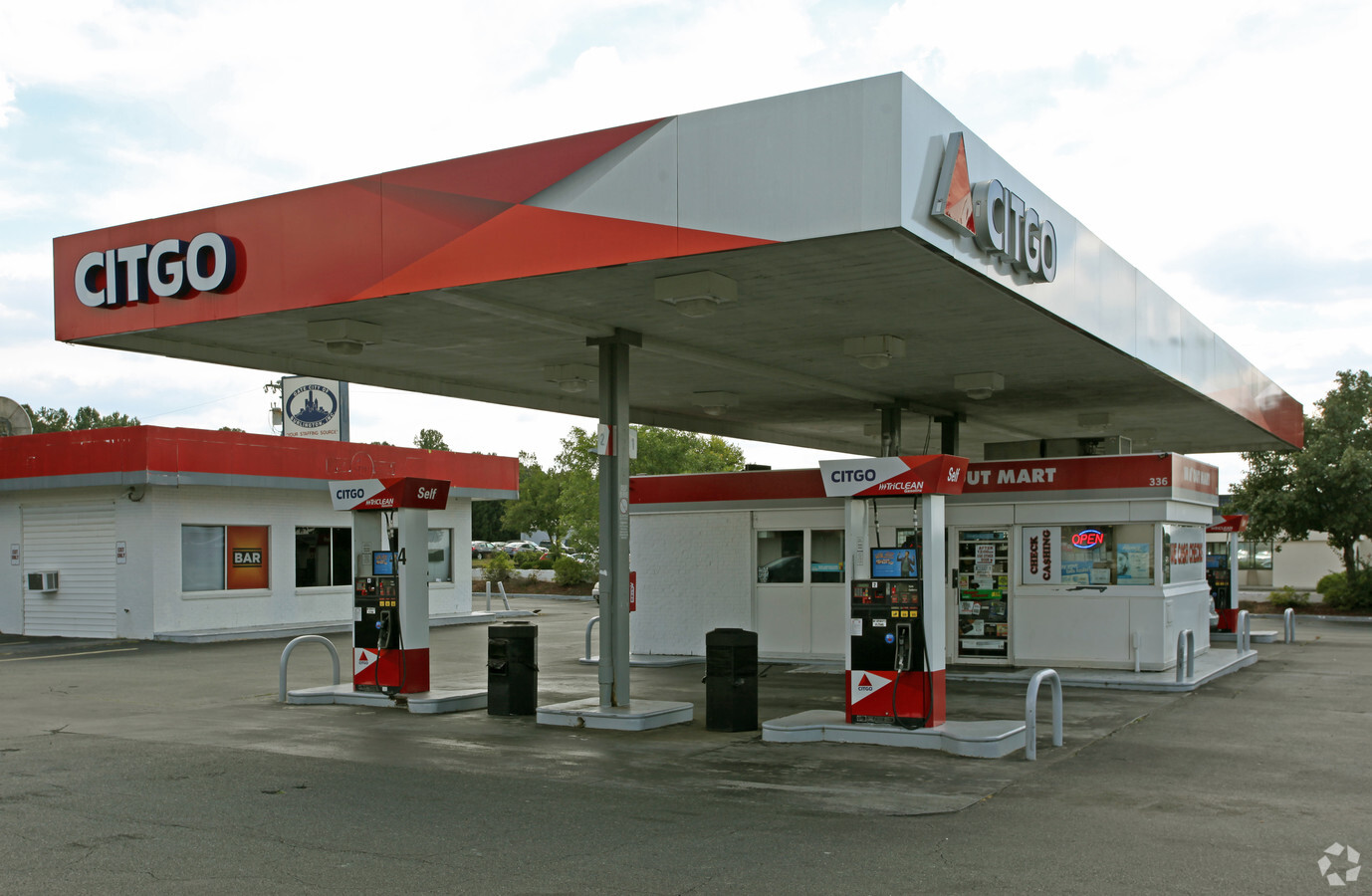
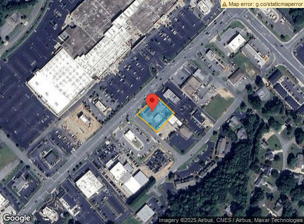
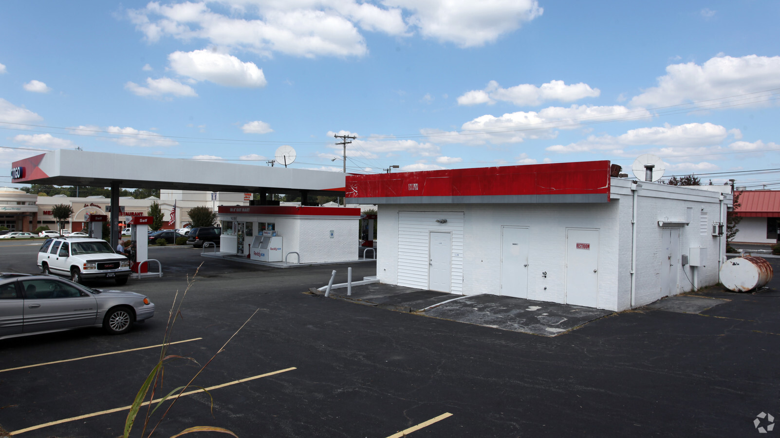
Property Record
336 Huffman Mill Rd, Burlington, NC 27215
NEARBY LISTINGS FOR SALE OR LEASE
Property Detail
336 Huffman Mill Rd
113752
BL 336 HUFFMAN MILL RD 3-21-24F
Carwashautomated
Alamance
X
North Carolina
3710885400K
0.62 AC
2024
West Burlington/Airport
2024
Greensboro/Winston-Salem
020701
Burlington, NC
1,023 SF
DEMOGRAPHICS near 336 Huffman Mill Rd
1 Mile
3 Mile
5 Mile
2024 Total Population
6,395
44,784
96,775
2029 Population
6,877
48,305
103,982
Pop Growth 2024-2029
+ 7.54%
+ 7.86%
+ 7.45%
Average Age
44
41
39
2024 Total Households
2,951
18,464
38,075
HH Growth 2024-2029
+ 7.59%
+ 8.11%
+ 7.66%
Median Household Inc
$59,645
$61,493
$56,762
Avg Household Size
2.10
2.20
2.40
2024 Avg HH Vehicles
2.00
2.00
2.00
Median Home Value
$246,890
$240,759
$199,224
Median Year Built
1990
1986
1984
Nearby Places
- Restaurants
- Banks
- Shops
- Fitness
- Groceries
PUBLIC TRANSPORTATION
COMMUTER RAIL
Burlington Station (Piedmont - North Carolina by Train (NC Train))
DRIVE
WALK
Distance
Burlington Station (Piedmont - North Carolina by Train (NC Train))
7 min
3.5 mi
AIRPORT
Piedmont Triad International
DRIVE
WALK
Distance
Piedmont Triad International
42 min
28.9 mi
Freight Ports
Virginia Port Authority - Richmond
DRIVE
WALK
Distance
Virginia Port Authority - Richmond
208 min
181.3 mi
Nearby Properties
Address
Land Use
TOTAL SIZE
Lot Size
Zoning
Address
Land Use
TOTAL SIZE
Lot Size
Zoning
3,339 SF
58.37 AC
PI
Address
Land Use
TOTAL SIZE
Lot Size
Zoning
350,000 SF
64.18 AC
O I
Address
Land Use
TOTAL SIZE
Lot Size
Zoning
61,440 SF
83.52 AC
PI
Address
Land Use
TOTAL SIZE
Lot Size
Zoning
10,372 SF
28.12 AC
PI
Address
Land Use
TOTAL SIZE
Lot Size
Zoning
177,145 SF
47.79 AC
R 15
Address
Land Use
TOTAL SIZE
Lot Size
Zoning
128,458 SF
70.20 AC
IO CI
Address
Land Use
TOTAL SIZE
Lot Size
Zoning
2,000 SF
14.34 AC
R 15
Address
Land Use
TOTAL SIZE
Lot Size
Zoning
13,100 SF
34.69 AC
CB
Address
Land Use
TOTAL SIZE
Lot Size
Zoning
3,500 SF
21.63 AC
CR
Address
Land Use
TOTAL SIZE
Lot Size
Zoning
31,266 SF
8.94 AC
PI
Address
Land Use
TOTAL SIZE
Lot Size
Zoning
154,450 SF
28.40 AC
PI
Address
Land Use
TOTAL SIZE
Lot Size
Zoning
146,080 SF
22.14 AC
X 1
Address
Land Use
TOTAL SIZE
Lot Size
Zoning
26,280 SF
11.24 AC
CR
Address
Land Use
TOTAL SIZE
Lot Size
Zoning
10,368 SF
13.60 AC
MFA
Address
Land Use
TOTAL SIZE
Lot Size
Zoning
5,888 SF
24.60 AC
MF A
Address
Land Use
TOTAL SIZE
Lot Size
Zoning
8,090 SF
12.97 AC
TOWN CEN
Address
Land Use
TOTAL SIZE
Lot Size
Zoning
27,803 SF
8.80 AC
CR
Address
Land Use
TOTAL SIZE
Lot Size
Zoning
47,520 SF
6.10 AC
B 2
Address
Land Use
TOTAL SIZE
Lot Size
Zoning
141,600 SF
18 AC
X 1
Address
Land Use
TOTAL SIZE
Lot Size
Zoning
23,265 SF
20.45 AC
MF A
Address
Land Use
TOTAL SIZE
Lot Size
Zoning
36,900 SF
16.07 AC
PI
Address
Land Use
TOTAL SIZE
Lot Size
Zoning
154,450 SF
29.50 AC
PI
Address
Land Use
TOTAL SIZE
Lot Size
Zoning
135,186 SF
15.60 AC
CR
Address
Land Use
TOTAL SIZE
Lot Size
Zoning
28,812 SF
15.63 AC
MFA
Address
Land Use
TOTAL SIZE
Lot Size
Zoning
17,228 SF
32.88 AC
CB
Address
Land Use
TOTAL SIZE
Lot Size
Zoning
2,049 SF
13.07 AC
MFA
Address
Land Use
TOTAL SIZE
Lot Size
Zoning
34,725 SF
18.58 AC
B 2
Address
Land Use
TOTAL SIZE
Lot Size
Zoning
203,832 SF
36.10 AC
B 2
Address
Land Use
TOTAL SIZE
Lot Size
Zoning
18,093 SF
16.51 AC
B2
Address
Land Use
TOTAL SIZE
Lot Size
Zoning
10,604 SF
24.43 AC
R 9
The World's #1 Commercial Real Estate Marketplace
Connect with us
© 2025 CoStar Group
The information above has been obtained from sources believed reliable. While we do not doubt its accuracy we have not verified it and make no guarantee, warranty or representation about it. It is your responsibility to independently confirm its accuracy and completeness. Any projections, opinions, assumptions, or estimates used are for example only and do not represent the current or future performance of the property. The value of this transaction to you depends on tax and other factors which should be evaluated by your tax, financial, and legal advisors. You and your advisors should conduct a careful, independent investigation of the property to determine to your satisfaction the suitability of the property for your needs.