Property Record
3401 Athens Hwy, Gainesville, GA 30507
NEARBY LISTINGS FOR SALE OR LEASE
Property Detail
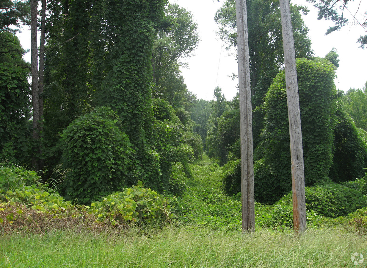
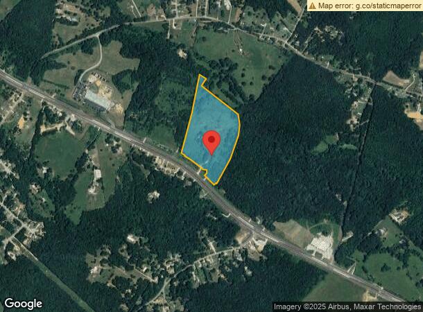
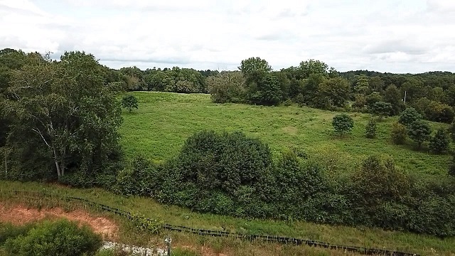
3401 Athens Hwy
Gainesville, GA
Ja Hooper
15-00014-00-034
ATHENS HIGHWAY
Industrialgeneral
Hall
A
Georgia
13139C0350G
0
2024
28.43 AC
2024
Gainesville/Hall County
001202
Atlanta
1,602 SF
DEMOGRAPHICS near 3401 Athens Hwy
1 Mile
3 Mile
5 Mile
2024 Total Population
1,591
12,585
25,906
2029 Population
1,763
14,120
29,154
Pop Growth 2024-2029
+ 10.81%
+ 12.20%
+ 12.54%
Average Age
34
34
35
2024 Total Households
422
3,416
7,276
HH Growth 2024-2029
+ 10.90%
+ 12.24%
+ 12.60%
Median Household Inc
$56,036
$56,954
$57,281
Avg Household Size
3.60
3.50
3.40
2024 Avg HH Vehicles
2.00
2.00
2.00
Median Home Value
$226,687
$209,437
$211,984
Median Year Built
2001
1997
1996
Nearby Places
- Restaurants
- Banks
- Shops
- Fitness
- Groceries
PUBLIC TRANSPORTATION
COMMUTER RAIL
Gainesville Amtrak Station (Crescent - Amtrak)
DRIVE
WALK
Distance
Gainesville Amtrak Station (Crescent - Amtrak)
9 min
7.8 mi
Freight Ports
Georgia Ports - Savannah
DRIVE
WALK
Distance
Georgia Ports - Savannah
308 min
244.5 mi
SALE & LEASE HISTORY
LISTING DATE
SALE/LEASE

Sep 03, 2020
For Sale
Nearby Properties
Address
Land Use
TOTAL SIZE
Lot Size
Zoning
Address
Land Use
TOTAL SIZE
Lot Size
Zoning
578,645 SF
110.18 AC
PUD
Address
Land Use
TOTAL SIZE
Lot Size
Zoning
334,800 SF
56.96 AC
PUD
Address
Land Use
TOTAL SIZE
Lot Size
Zoning
1,002,252 SF
90.41 AC
R
Address
Land Use
TOTAL SIZE
Lot Size
Zoning
258,201 SF
80.83 AC
I-I
Address
Land Use
TOTAL SIZE
Lot Size
Zoning
88,042 SF
280.24 AC
PID
Address
Land Use
TOTAL SIZE
Lot Size
Zoning
157,987 SF
34.67 AC
I-I
Address
Land Use
TOTAL SIZE
Lot Size
Zoning
222,250 SF
37.52 AC
R
Address
Land Use
TOTAL SIZE
Lot Size
Zoning
43,170 SF
23.06 AC
PUD
Address
Land Use
TOTAL SIZE
Lot Size
Zoning
112,840 SF
29.97 AC
I-II
Address
Land Use
TOTAL SIZE
Lot Size
Zoning
78,042 SF
42.75 AC
AR-IV
Address
Land Use
TOTAL SIZE
Lot Size
Zoning
230.86 AC
PID
Address
Land Use
TOTAL SIZE
Lot Size
Zoning
92,004 SF
233.70 AC
001
Address
Land Use
TOTAL SIZE
Lot Size
Zoning
157,987 SF
34.67 AC
Address
Land Use
TOTAL SIZE
Lot Size
Zoning
90,000 SF
10.66 AC
H-I
Address
Land Use
TOTAL SIZE
Lot Size
Zoning
1,228 SF
75.09 AC
PID
Address
Land Use
TOTAL SIZE
Lot Size
Zoning
25 AC
PRD
Address
Land Use
TOTAL SIZE
Lot Size
Zoning
12,080 SF
13.28 AC
AR-IV
Address
Land Use
TOTAL SIZE
Lot Size
Zoning
65.69 AC
I-I
Address
Land Use
TOTAL SIZE
Lot Size
Zoning
50.98 AC
H-I
Address
Land Use
TOTAL SIZE
Lot Size
Zoning
8,992 SF
9.64 AC
AR-IV
Address
Land Use
TOTAL SIZE
Lot Size
Zoning
144.29 AC
I-II
Address
Land Use
TOTAL SIZE
Lot Size
Zoning
41,455 SF
25.48 AC
I-I
Address
Land Use
TOTAL SIZE
Lot Size
Zoning
31.92 AC
PUD
Address
Land Use
TOTAL SIZE
Lot Size
Zoning
347.84 AC
R-I
Address
Land Use
TOTAL SIZE
Lot Size
Zoning
5,000 SF
24.83 AC
I-II/AR-IV
Address
Land Use
TOTAL SIZE
Lot Size
Zoning
45,960 SF
7.50 AC
L-I
Address
Land Use
TOTAL SIZE
Lot Size
Zoning
412.04 AC
PUD
Address
Land Use
TOTAL SIZE
Lot Size
Zoning
1,647 SF
10.02 AC
AR-IV
Address
Land Use
TOTAL SIZE
Lot Size
Zoning
1,200 SF
277.46 AC
PCFD
The World's #1 Commercial Real Estate Marketplace
Connect with us
© 2025 CoStar Group
The information above has been obtained from sources believed reliable. While we do not doubt its accuracy we have not verified it and make no guarantee, warranty or representation about it. It is your responsibility to independently confirm its accuracy and completeness. Any projections, opinions, assumptions, or estimates used are for example only and do not represent the current or future performance of the property. The value of this transaction to you depends on tax and other factors which should be evaluated by your tax, financial, and legal advisors. You and your advisors should conduct a careful, independent investigation of the property to determine to your satisfaction the suitability of the property for your needs.