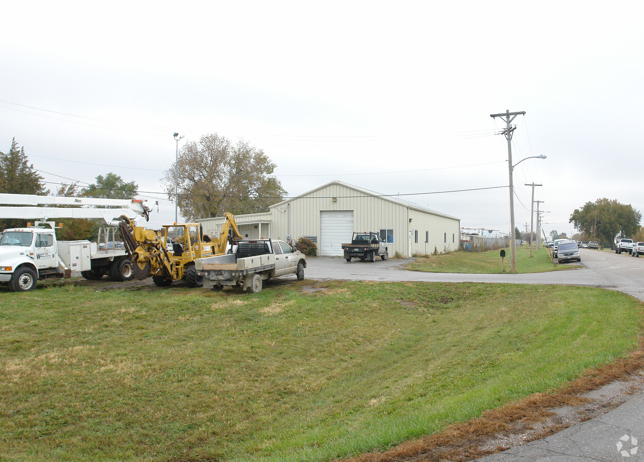
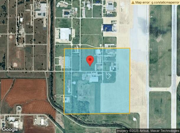
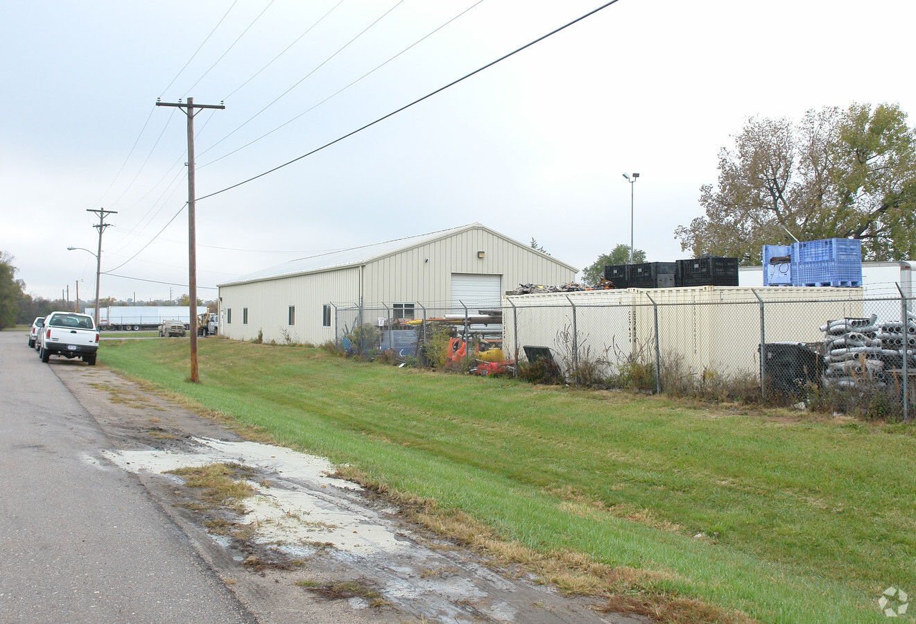
Property Record
3411 W Mathis St, Lincoln, NE 68524
NEARBY LISTINGS FOR SALE OR LEASE
-
-
View all Lincoln listings for sale on LoopNet.com
Property Detail
3411 W Mathis St
Lincoln, NE
6Th Principal Meridian
11-08-300-001-000
S8, T10, R6, 6TH PRINCIPAL MERIDIAN, IRREGULAR TRACT W1/2 SW & LOTS 3 & 4 SW
Commercialnec
Lancaster
AE
Nebraska
31109C0285F
3,4
0
158.44 AC
2023
West
003202
Lincoln
DEMOGRAPHICS near 3411 W Mathis St
1 Mile
3 Mile
5 Mile
2024 Total Population
4,890
24,235
85,368
2029 Population
5,066
25,101
88,557
Pop Growth 2024-2029
+ 3.60%
+ 3.57%
+ 3.74%
Average Age
34
34
34
2024 Total Households
1,565
8,202
31,114
HH Growth 2024-2029
+ 3.83%
+ 3.78%
+ 4.12%
Median Household Inc
$78,311
$66,961
$54,680
Avg Household Size
2.90
2.60
2.50
2024 Avg HH Vehicles
2.00
2.00
2.00
Median Home Value
$213,840
$208,651
$203,651
Median Year Built
1997
1993
1991
Nearby Places
- Restaurants
- Banks
- Shops
- Fitness
- Groceries
PUBLIC TRANSPORTATION
COMMUTER RAIL
Lincoln Amtrak Station (California Zephyr - Amtrak)
DRIVE
WALK
Distance
Lincoln Amtrak Station (California Zephyr - Amtrak)
14 min
9.3 mi
AIRPORT
Lincoln
DRIVE
WALK
Distance
Lincoln
14 min
8.1 mi
Freight Ports
Tulsa Port Of Catoosa
DRIVE
WALK
Distance
Tulsa Port Of Catoosa
478 min
402.4 mi
Nearby Properties
Address
Land Use
TOTAL SIZE
Lot Size
Zoning
Address
Land Use
TOTAL SIZE
Lot Size
Zoning
301,402 SF
35.38 AC
H3
Address
Land Use
TOTAL SIZE
Lot Size
Zoning
657,299 SF
66.04 AC
I1
Address
Land Use
TOTAL SIZE
Lot Size
Zoning
35,233 SF
28.52 AC
NULL
Address
Land Use
TOTAL SIZE
Lot Size
Zoning
2,069,429 SF
219.88 AC
I2
Address
Land Use
TOTAL SIZE
Lot Size
Zoning
27,398 SF
7.78 AC
R3
Address
Land Use
TOTAL SIZE
Lot Size
Zoning
56,867 SF
22.10 AC
NULL
Address
Land Use
TOTAL SIZE
Lot Size
Zoning
523.53 AC
I1
Address
Land Use
TOTAL SIZE
Lot Size
Zoning
72,775 SF
12.16 AC
I2
Address
Land Use
TOTAL SIZE
Lot Size
Zoning
152,292 SF
20.28 AC
O3
Address
Land Use
TOTAL SIZE
Lot Size
Zoning
405,207 SF
29.97 AC
I2
Address
Land Use
TOTAL SIZE
Lot Size
Zoning
51,994 SF
4.64 AC
O3
Address
Land Use
TOTAL SIZE
Lot Size
Zoning
46,205 SF
4.30 AC
B2
Address
Land Use
TOTAL SIZE
Lot Size
Zoning
317,607 SF
20.80 AC
I2
Address
Land Use
TOTAL SIZE
Lot Size
Zoning
283,600 SF
46.07 AC
I2
Address
Land Use
TOTAL SIZE
Lot Size
Zoning
33,730 SF
6.88 AC
NULL
Address
Land Use
TOTAL SIZE
Lot Size
Zoning
109,660 SF
158.97 AC
I1
Address
Land Use
TOTAL SIZE
Lot Size
Zoning
129,000 SF
0.89 AC
B4
Address
Land Use
TOTAL SIZE
Lot Size
Zoning
72,641 SF
9.56 AC
O3
Address
Land Use
TOTAL SIZE
Lot Size
Zoning
25,620 SF
6.87 AC
NULL
Address
Land Use
TOTAL SIZE
Lot Size
Zoning
303.74 AC
P
Address
Land Use
TOTAL SIZE
Lot Size
Zoning
186,291 SF
12.64 AC
I2
Address
Land Use
TOTAL SIZE
Lot Size
Zoning
157.27 AC
I1
Address
Land Use
TOTAL SIZE
Lot Size
Zoning
133,138 SF
157.34 AC
I1
Address
Land Use
TOTAL SIZE
Lot Size
Zoning
30,555 SF
8.09 AC
NULL
Address
Land Use
TOTAL SIZE
Lot Size
Zoning
270.57 AC
P
Address
Land Use
TOTAL SIZE
Lot Size
Zoning
217,413 SF
15.93 AC
I2
Address
Land Use
TOTAL SIZE
Lot Size
Zoning
132,888 SF
4.60 AC
I1
Address
Land Use
TOTAL SIZE
Lot Size
Zoning
40,162 SF
3.60 AC
NULL
Address
Land Use
TOTAL SIZE
Lot Size
Zoning
3,754 SF
66.21 AC
R2
The World's #1 Commercial Real Estate Marketplace
Connect with us
© 2025 CoStar Group
The information above has been obtained from sources believed reliable. While we do not doubt its accuracy we have not verified it and make no guarantee, warranty or representation about it. It is your responsibility to independently confirm its accuracy and completeness. Any projections, opinions, assumptions, or estimates used are for example only and do not represent the current or future performance of the property. The value of this transaction to you depends on tax and other factors which should be evaluated by your tax, financial, and legal advisors. You and your advisors should conduct a careful, independent investigation of the property to determine to your satisfaction the suitability of the property for your needs.