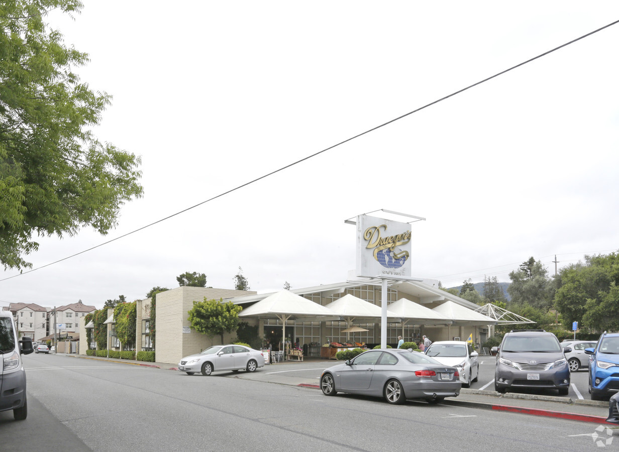
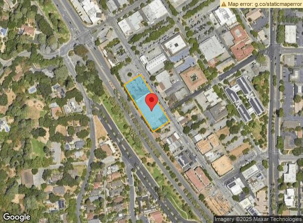
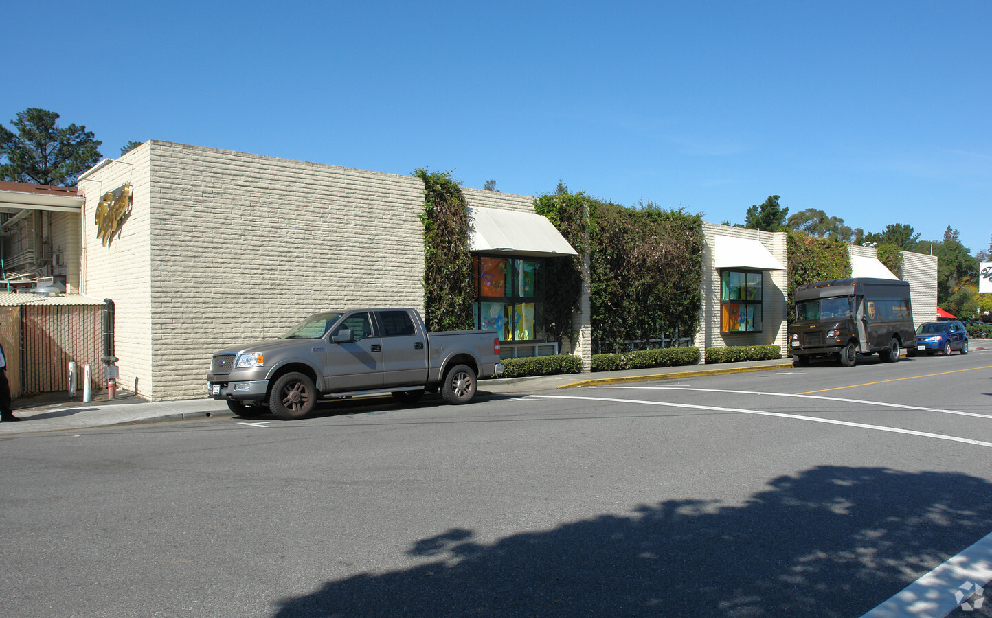
Property Record
342 1St St, Los Altos, CA 94022
NEARBY LISTINGS FOR SALE OR LEASE
Property Detail
342 1St St
167-41-003
Los Altos Medical Center
Storebuilding
LOS ALTOS MAP 1 MAP E7 811
X
Santa Clara
06085C0038H
California
2023
0.97 AC
2023
Los Altos
510300
South Bay/San Jose
17,061 SF
San Jose-Sunnyvale-Santa Clara, CA
DEMOGRAPHICS near 342 1St St
1 Mile
3 Mile
5 Mile
2024 Total Population
9,806
118,600
273,996
2029 Population
9,449
115,443
266,160
Pop Growth 2024-2029
(3.64%)
(2.66%)
(2.86%)
Average Age
45
41
40
2024 Total Households
3,498
46,505
101,683
HH Growth 2024-2029
(3.89%)
(2.76%)
(2.94%)
Median Household Inc
$237,680
$195,890
$188,719
Avg Household Size
2.80
2.50
2.50
2024 Avg HH Vehicles
2.00
2.00
2.00
Median Home Value
$1,146,032
$1,139,543
$1,138,212
Median Year Built
1964
1970
1970
Nearby Places
- Restaurants
- Banks
- Shops
- Fitness
- Groceries
PUBLIC TRANSPORTATION
COMMUTER RAIL
San Antonio (Caltrain - Caltrain (Caltrain))
DRIVE
WALK
Distance
San Antonio (Caltrain - Caltrain (Caltrain))
10 min
2.5 mi
Mountain View (Caltrain - Caltrain (Caltrain))
DRIVE
WALK
Distance
Mountain View (Caltrain - Caltrain (Caltrain))
14 min
4.5 mi
AIRPORT
San José International
DRIVE
WALK
Distance
San José International
22 min
16.2 mi
San Francisco International
DRIVE
WALK
Distance
San Francisco International
35 min
27.3 mi
Oakland International
DRIVE
WALK
Distance
Oakland International
51 min
35.8 mi
Nearby Properties
Address
Land Use
TOTAL SIZE
Lot Size
Zoning
Address
Land Use
TOTAL SIZE
Lot Size
Zoning
42.28 AC
PF
Address
Land Use
TOTAL SIZE
Lot Size
Zoning
499,360 SF
31.95 AC
MM40
Address
Land Use
TOTAL SIZE
Lot Size
Zoning
450,575 SF
3.73 AC
P(9)
Address
Land Use
TOTAL SIZE
Lot Size
Zoning
78,277 SF
16.30 AC
RP
Address
Land Use
TOTAL SIZE
Lot Size
Zoning
595,000 SF
7.42 AC
P(34)
Address
Land Use
TOTAL SIZE
Lot Size
Zoning
19,671 SF
5.25 AC
P(40)
Address
Land Use
TOTAL SIZE
Lot Size
Zoning
675,100 SF
52.78 AC
RP5
Address
Land Use
TOTAL SIZE
Lot Size
Zoning
233,124 SF
9.18 AC
P(7)
Address
Land Use
TOTAL SIZE
Lot Size
Zoning
89,237 SF
5.51 AC
P(9)
Address
Land Use
TOTAL SIZE
Lot Size
Zoning
458,842 SF
26.64 AC
RP5
Address
Land Use
TOTAL SIZE
Lot Size
Zoning
114,809 SF
3.94 AC
P18
Address
Land Use
TOTAL SIZE
Lot Size
Zoning
4.71 AC
P
Address
Land Use
TOTAL SIZE
Lot Size
Zoning
224,086 SF
10.80 AC
R3-1.
Address
Land Use
TOTAL SIZE
Lot Size
Zoning
110,384 SF
10.17 AC
RP
Address
Land Use
TOTAL SIZE
Lot Size
Zoning
129,678 SF
7.17 AC
LMS
Address
Land Use
TOTAL SIZE
Lot Size
Zoning
58,222 SF
3.92 AC
P
Address
Land Use
TOTAL SIZE
Lot Size
Zoning
96,579 SF
1.21 AC
P(19)
Address
Land Use
TOTAL SIZE
Lot Size
Zoning
61,473 SF
2.28 AC
P(38)
Address
Land Use
TOTAL SIZE
Lot Size
Zoning
2.90 AC
P(17)
Address
Land Use
TOTAL SIZE
Lot Size
Zoning
186,490 SF
2.43 AC
CRA
Address
Land Use
TOTAL SIZE
Lot Size
Zoning
35,926 SF
6.50 AC
RP5
Address
Land Use
TOTAL SIZE
Lot Size
Zoning
233,098 SF
2.91 AC
APD
Address
Land Use
TOTAL SIZE
Lot Size
Zoning
207,857 SF
16.34 AC
RP-5D
Address
Land Use
TOTAL SIZE
Lot Size
Zoning
210,375 SF
2.62 AC
P38
Address
Land Use
TOTAL SIZE
Lot Size
Zoning
8,400 SF
3.46 AC
P(7)
Address
Land Use
TOTAL SIZE
Lot Size
Zoning
196,167 SF
4.50 AC
RP
Address
Land Use
TOTAL SIZE
Lot Size
Zoning
208.82 AC
MV
Address
Land Use
TOTAL SIZE
Lot Size
Zoning
63,000 SF
9.34 AC
LM
Address
Land Use
TOTAL SIZE
Lot Size
Zoning
321,357 SF
14.52 AC
P
Address
Land Use
TOTAL SIZE
Lot Size
Zoning
98,626 SF
4.44 AC
RP
The World's #1 Commercial Real Estate Marketplace
Connect with us
© 2025 CoStar Group
The information above has been obtained from sources believed reliable. While we do not doubt its accuracy we have not verified it and make no guarantee, warranty or representation about it. It is your responsibility to independently confirm its accuracy and completeness. Any projections, opinions, assumptions, or estimates used are for example only and do not represent the current or future performance of the property. The value of this transaction to you depends on tax and other factors which should be evaluated by your tax, financial, and legal advisors. You and your advisors should conduct a careful, independent investigation of the property to determine to your satisfaction the suitability of the property for your needs.