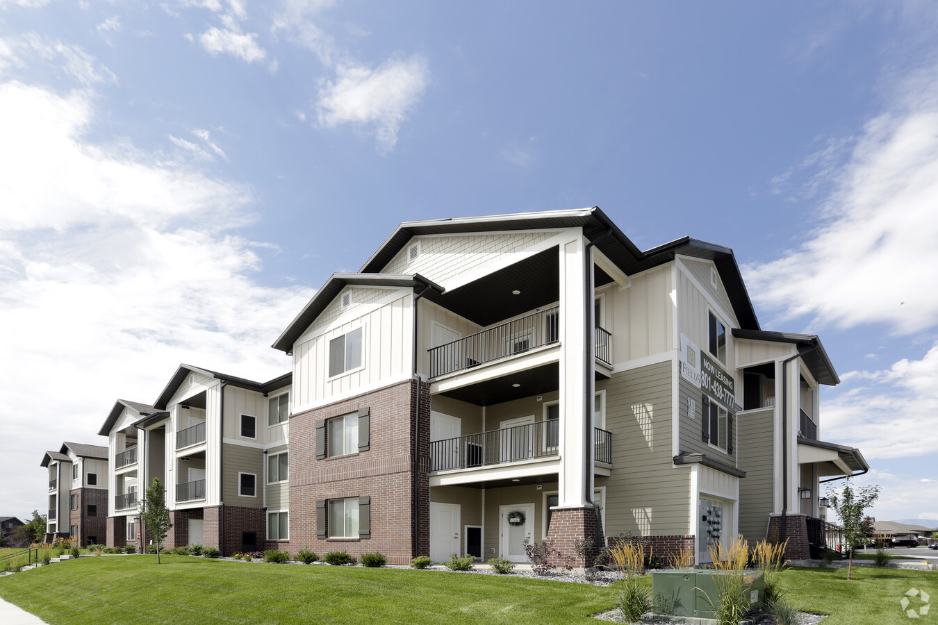
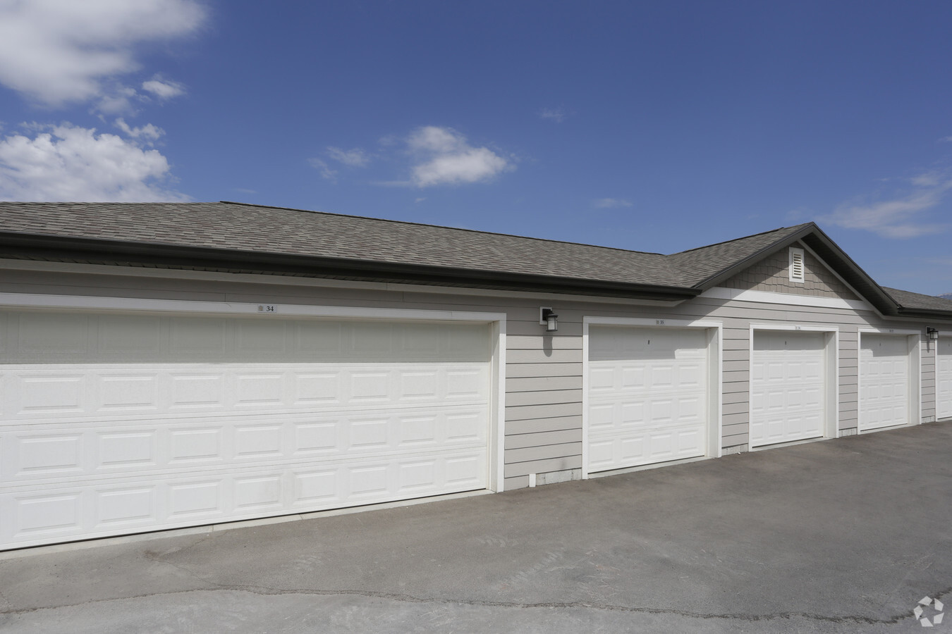
Property Record
342 S 740 E, American Fork, UT 84003
NEARBY LISTINGS FOR SALE OR LEASE
-
-
View all American Fork listings for sale on LoopNet.com
Property Detail
342 S 740 E
Provo-Orem, UT
PUBLIC ROAD, SOUTH POINT, PHASE 2 SUB AREA 0.743 AC
13-058-0334
Utah
Multifamilydwelling
Utah
0
7.97 AC
2024
Silicon Slopes
010700
Salt Lake City
22,155 SF
DEMOGRAPHICS near 342 S 740 E
1 Mile
3 Mile
5 Mile
2024 Total Population
16,793
80,198
160,655
2029 Population
19,657
93,891
187,433
Pop Growth 2024-2029
+ 17.05%
+ 17.07%
+ 16.67%
Average Age
32
33
33
2024 Total Households
5,690
23,849
45,311
HH Growth 2024-2029
+ 17.47%
+ 17.48%
+ 17.10%
Median Household Inc
$71,285
$89,411
$98,418
Avg Household Size
2.90
3.30
3.50
2024 Avg HH Vehicles
2.00
2.00
2.00
Median Home Value
$399,336
$459,568
$488,649
Median Year Built
2005
2001
2000
Nearby Places
- Restaurants
- Banks
- Shops
- Fitness
- Groceries
PUBLIC TRANSPORTATION
COMMUTER RAIL
American Fork Station (FrontRunner - Utah Transit Authority (UTA))
DRIVE
WALK
Distance
American Fork Station (FrontRunner - Utah Transit Authority (UTA))
7 min
2.5 mi
Vineyard Station (FrontRunner - Utah Transit Authority (UTA))
DRIVE
WALK
Distance
Vineyard Station (FrontRunner - Utah Transit Authority (UTA))
10 min
6.8 mi
AIRPORT
Provo Municipal
DRIVE
WALK
Distance
Provo Municipal
21 min
14.7 mi
Freight Ports
Port of Stockton
DRIVE
WALK
Distance
Port of Stockton
744 min
727.7 mi
Nearby Properties
Address
Land Use
TOTAL SIZE
Lot Size
Zoning
Address
Land Use
TOTAL SIZE
Lot Size
Zoning
189,254 SF
48.27 AC
Address
Land Use
TOTAL SIZE
Lot Size
Zoning
199,783 SF
17.96 AC
Address
Land Use
TOTAL SIZE
Lot Size
Zoning
271,299 SF
19.66 AC
Address
Land Use
TOTAL SIZE
Lot Size
Zoning
194,977 SF
8.18 AC
Address
Land Use
TOTAL SIZE
Lot Size
Zoning
139,105 SF
8.96 AC
Address
Land Use
TOTAL SIZE
Lot Size
Zoning
156,242 SF
8.10 AC
Address
Land Use
TOTAL SIZE
Lot Size
Zoning
Address
Land Use
TOTAL SIZE
Lot Size
Zoning
154,800 SF
9.14 AC
Address
Land Use
TOTAL SIZE
Lot Size
Zoning
144,310 SF
6.85 AC
Address
Land Use
TOTAL SIZE
Lot Size
Zoning
124,460 SF
6.46 AC
Address
Land Use
TOTAL SIZE
Lot Size
Zoning
146,939 SF
36.63 AC
Address
Land Use
TOTAL SIZE
Lot Size
Zoning
Address
Land Use
TOTAL SIZE
Lot Size
Zoning
223,967 SF
21.91 AC
Address
Land Use
TOTAL SIZE
Lot Size
Zoning
52,460 SF
12.78 AC
Address
Land Use
TOTAL SIZE
Lot Size
Zoning
206,405 SF
11.71 AC
Address
Land Use
TOTAL SIZE
Lot Size
Zoning
141,635 SF
10.58 AC
Address
Land Use
TOTAL SIZE
Lot Size
Zoning
194,852 SF
10.03 AC
Address
Land Use
TOTAL SIZE
Lot Size
Zoning
230,702 SF
11.85 AC
Address
Land Use
TOTAL SIZE
Lot Size
Zoning
102,751 SF
6.20 AC
Address
Land Use
TOTAL SIZE
Lot Size
Zoning
13,248 SF
14.61 AC
Address
Land Use
TOTAL SIZE
Lot Size
Zoning
83,049 SF
12.07 AC
Address
Land Use
TOTAL SIZE
Lot Size
Zoning
11,389 SF
13.08 AC
Address
Land Use
TOTAL SIZE
Lot Size
Zoning
112,544 SF
11.96 AC
Address
Land Use
TOTAL SIZE
Lot Size
Zoning
5,268 SF
13.12 AC
Address
Land Use
TOTAL SIZE
Lot Size
Zoning
253,855 SF
29.53 AC
Address
Land Use
TOTAL SIZE
Lot Size
Zoning
148,812 SF
13.49 AC
Address
Land Use
TOTAL SIZE
Lot Size
Zoning
109,875 SF
5.43 AC
Address
Land Use
TOTAL SIZE
Lot Size
Zoning
143,438 SF
7.43 AC
Address
Land Use
TOTAL SIZE
Lot Size
Zoning
46,212 SF
8.97 AC
Address
Land Use
TOTAL SIZE
Lot Size
Zoning
92,397 SF
9.53 AC
The World's #1 Commercial Real Estate Marketplace
Connect with us
© 2025 CoStar Group
The information above has been obtained from sources believed reliable. While we do not doubt its accuracy we have not verified it and make no guarantee, warranty or representation about it. It is your responsibility to independently confirm its accuracy and completeness. Any projections, opinions, assumptions, or estimates used are for example only and do not represent the current or future performance of the property. The value of this transaction to you depends on tax and other factors which should be evaluated by your tax, financial, and legal advisors. You and your advisors should conduct a careful, independent investigation of the property to determine to your satisfaction the suitability of the property for your needs.