Property Record
345 Carpenter Dr, Atlanta, GA 30328

NEARBY LISTINGS FOR SALE OR LEASE
Property Detail
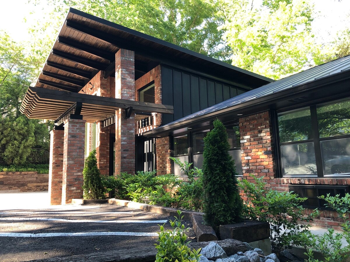
345 Carpenter Dr
Atlanta-Sandy Springs-Roswell, GA
Laurel Grove
17-0070-0004-019-5
Fulton
Sfr
Georgia
X
0.51 AC
13121C0142F
Central Perimeter
1,486 SF
Atlanta
DEMOGRAPHICS near 345 Carpenter Dr
1 Mile
3 Mile
5 Mile
2024 Total Population
19,716
92,689
237,121
2029 Population
20,144
93,600
238,820
Pop Growth 2024-2029
+ 2.17%
+ 0.98%
+ 0.72%
Average Age
39
39
39
2024 Total Households
9,374
41,163
107,822
HH Growth 2024-2029
+ 2.36%
+ 1.11%
+ 0.90%
Median Household Inc
$92,667
$111,730
$110,552
Avg Household Size
2.00
2.20
2.10
2024 Avg HH Vehicles
1.00
2.00
2.00
Median Home Value
$615,884
$666,147
$637,596
Median Year Built
1989
1989
1989
Nearby Places
- Restaurants
- Banks
- Shops
- Fitness
- Groceries
PUBLIC TRANSPORTATION
COMMUTER RAIL
Atlanta (Crescent - Amtrak)
DRIVE
WALK
Distance
Atlanta (Crescent - Amtrak)
16 min
10.0 mi
AIRPORT
Hartsfield - Jackson Atlanta International
DRIVE
WALK
Distance
Hartsfield - Jackson Atlanta International
36 min
23.4 mi
Freight Ports
Georgia Ports - Savannah
DRIVE
WALK
Distance
Georgia Ports - Savannah
299 min
262.7 mi
SALE & LEASE HISTORY
LISTING DATE
SALE/LEASE

Nov 20, 2024
For Lease
Nearby Properties
Address
Land Use
TOTAL SIZE
Lot Size
Zoning
Address
Land Use
TOTAL SIZE
Lot Size
Zoning
1,123,714 SF
47.33 AC
C1
Address
Land Use
TOTAL SIZE
Lot Size
Zoning
854,744 SF
1.95 AC
OI
Address
Land Use
TOTAL SIZE
Lot Size
Zoning
374,311 SF
0.19 AC
X
Address
Land Use
TOTAL SIZE
Lot Size
Zoning
216,464 SF
X
Address
Land Use
TOTAL SIZE
Lot Size
Zoning
104,625 SF
0.99 AC
X
Address
Land Use
TOTAL SIZE
Lot Size
Zoning
376,010 SF
3.80 AC
OI
Address
Land Use
TOTAL SIZE
Lot Size
Zoning
1,088,359 SF
7.07 AC
OIC
Address
Land Use
TOTAL SIZE
Lot Size
Zoning
699,202 SF
13.90 AC
OIC
Address
Land Use
TOTAL SIZE
Lot Size
Zoning
316,391 SF
11.50 AC
OCR
Address
Land Use
TOTAL SIZE
Lot Size
Zoning
1,119,177 SF
5.21 AC
OIC
Address
Land Use
TOTAL SIZE
Lot Size
Zoning
907,800 SF
2.65 AC
Address
Land Use
TOTAL SIZE
Lot Size
Zoning
406,188 SF
4.43 AC
X
Address
Land Use
TOTAL SIZE
Lot Size
Zoning
258,909 SF
19.20 AC
X
Address
Land Use
TOTAL SIZE
Lot Size
Zoning
1,067,348 SF
6.41 AC
OIC
Address
Land Use
TOTAL SIZE
Lot Size
Zoning
664,199 SF
2.84 AC
Address
Land Use
TOTAL SIZE
Lot Size
Zoning
478,332 SF
4.07 AC
Address
Land Use
TOTAL SIZE
Lot Size
Zoning
588,846 SF
3.80 AC
Address
Land Use
TOTAL SIZE
Lot Size
Zoning
409,493 SF
9.90 AC
OI
Address
Land Use
TOTAL SIZE
Lot Size
Zoning
466,569 SF
4.90 AC
A1
Address
Land Use
TOTAL SIZE
Lot Size
Zoning
912,649 SF
5.21 AC
OIC
Address
Land Use
TOTAL SIZE
Lot Size
Zoning
543,420 SF
4.15 AC
Address
Land Use
TOTAL SIZE
Lot Size
Zoning
519,706 SF
6.50 AC
X
Address
Land Use
TOTAL SIZE
Lot Size
Zoning
395,191 SF
2.78 AC
OIC
Address
Land Use
TOTAL SIZE
Lot Size
Zoning
892,367 SF
3.37 AC
OIC
Address
Land Use
TOTAL SIZE
Lot Size
Zoning
1,430,700 SF
5.77 AC
OIC
Address
Land Use
TOTAL SIZE
Lot Size
Zoning
480,790 SF
5.93 AC
Address
Land Use
TOTAL SIZE
Lot Size
Zoning
296,627 SF
9.10 AC
X
Address
Land Use
TOTAL SIZE
Lot Size
Zoning
326,734 SF
13.15 AC
OIC
Address
Land Use
TOTAL SIZE
Lot Size
Zoning
572,181 SF
3.76 AC
C1
Address
Land Use
TOTAL SIZE
Lot Size
Zoning
582,939 SF
5.59 AC
A1
The World's #1 Commercial Real Estate Marketplace
Connect with us
© 2025 CoStar Group
The information above has been obtained from sources believed reliable. While we do not doubt its accuracy we have not verified it and make no guarantee, warranty or representation about it. It is your responsibility to independently confirm its accuracy and completeness. Any projections, opinions, assumptions, or estimates used are for example only and do not represent the current or future performance of the property. The value of this transaction to you depends on tax and other factors which should be evaluated by your tax, financial, and legal advisors. You and your advisors should conduct a careful, independent investigation of the property to determine to your satisfaction the suitability of the property for your needs.