Property Record
345 E Walton St, Willard, OH 44890
NEARBY LISTINGS FOR SALE OR LEASE
Property Detail
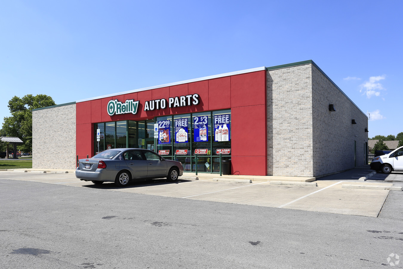
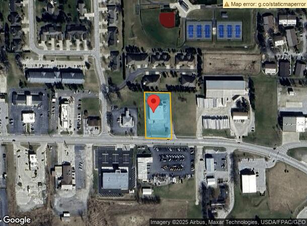
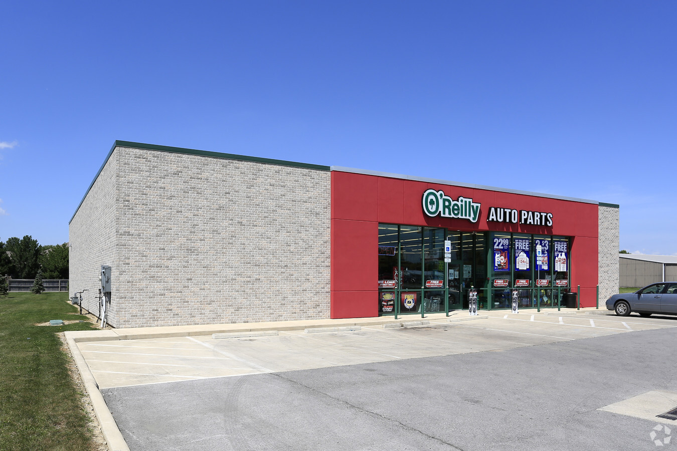
345 E Walton St
51-036A-02-004-0201
SEC 3 PT OF GL 5
Storebuilding
Huron
X
Ohio
39077C0311D
1.03 AC
2024
Huron County
2023
Cleveland
916300
Norwalk, OH
6,536 SF
DEMOGRAPHICS near 345 E Walton St
1 Mile
3 Mile
5 Mile
2024 Total Population
4,315
8,947
12,984
2029 Population
4,343
8,984
12,968
Pop Growth 2024-2029
+ 0.65%
+ 0.41%
(0.12%)
Average Age
41
40
41
2024 Total Households
1,774
3,504
5,117
HH Growth 2024-2029
+ 0.62%
+ 0.43%
(0.12%)
Median Household Inc
$51,652
$49,293
$53,923
Avg Household Size
2.30
2.50
2.50
2024 Avg HH Vehicles
2.00
2.00
2.00
Median Home Value
$105,847
$110,205
$127,000
Median Year Built
1962
1962
1962
Nearby Places
- Restaurants
- Banks
- Shops
- Fitness
- Groceries
Nearby Properties
Address
Land Use
TOTAL SIZE
Lot Size
Zoning
Address
Land Use
TOTAL SIZE
Lot Size
Zoning
2,472 SF
12.41 AC
Address
Land Use
TOTAL SIZE
Lot Size
Zoning
47,368 SF
21.76 AC
Address
Land Use
TOTAL SIZE
Lot Size
Zoning
3,860 SF
6.06 AC
Address
Land Use
TOTAL SIZE
Lot Size
Zoning
30.83 AC
Address
Land Use
TOTAL SIZE
Lot Size
Zoning
Address
Land Use
TOTAL SIZE
Lot Size
Zoning
52.15 AC
Address
Land Use
TOTAL SIZE
Lot Size
Zoning
40.46 AC
Address
Land Use
TOTAL SIZE
Lot Size
Zoning
13.04 AC
Address
Land Use
TOTAL SIZE
Lot Size
Zoning
8,600 SF
15.16 AC
Address
Land Use
TOTAL SIZE
Lot Size
Zoning
18,288 SF
4.21 AC
Address
Land Use
TOTAL SIZE
Lot Size
Zoning
39,230 SF
4.68 AC
Address
Land Use
TOTAL SIZE
Lot Size
Zoning
3,568 SF
41.21 AC
Address
Land Use
TOTAL SIZE
Lot Size
Zoning
3,976 SF
2.72 AC
Address
Land Use
TOTAL SIZE
Lot Size
Zoning
2,304 SF
3.84 AC
Address
Land Use
TOTAL SIZE
Lot Size
Zoning
99,900 SF
10.48 AC
Address
Land Use
TOTAL SIZE
Lot Size
Zoning
171 AC
Address
Land Use
TOTAL SIZE
Lot Size
Zoning
16,395 SF
0.88 AC
Address
Land Use
TOTAL SIZE
Lot Size
Zoning
219.54 AC
Address
Land Use
TOTAL SIZE
Lot Size
Zoning
4,406 SF
2.91 AC
Address
Land Use
TOTAL SIZE
Lot Size
Zoning
15,412 SF
2.48 AC
Address
Land Use
TOTAL SIZE
Lot Size
Zoning
1,196 SF
10.84 AC
Address
Land Use
TOTAL SIZE
Lot Size
Zoning
18,400 SF
12.79 AC
Address
Land Use
TOTAL SIZE
Lot Size
Zoning
4,428 SF
3.84 AC
Address
Land Use
TOTAL SIZE
Lot Size
Zoning
1,000 SF
20.79 AC
Address
Land Use
TOTAL SIZE
Lot Size
Zoning
768 SF
102.36 AC
Address
Land Use
TOTAL SIZE
Lot Size
Zoning
1,683 SF
3.68 AC
Address
Land Use
TOTAL SIZE
Lot Size
Zoning
1,792 SF
1.83 AC
Address
Land Use
TOTAL SIZE
Lot Size
Zoning
5,070 SF
4.07 AC
Address
Land Use
TOTAL SIZE
Lot Size
Zoning
11,881 SF
2.95 AC
Address
Land Use
TOTAL SIZE
Lot Size
Zoning
170.30 AC
The World's #1 Commercial Real Estate Marketplace
Connect with us
© 2025 CoStar Group
The information above has been obtained from sources believed reliable. While we do not doubt its accuracy we have not verified it and make no guarantee, warranty or representation about it. It is your responsibility to independently confirm its accuracy and completeness. Any projections, opinions, assumptions, or estimates used are for example only and do not represent the current or future performance of the property. The value of this transaction to you depends on tax and other factors which should be evaluated by your tax, financial, and legal advisors. You and your advisors should conduct a careful, independent investigation of the property to determine to your satisfaction the suitability of the property for your needs.