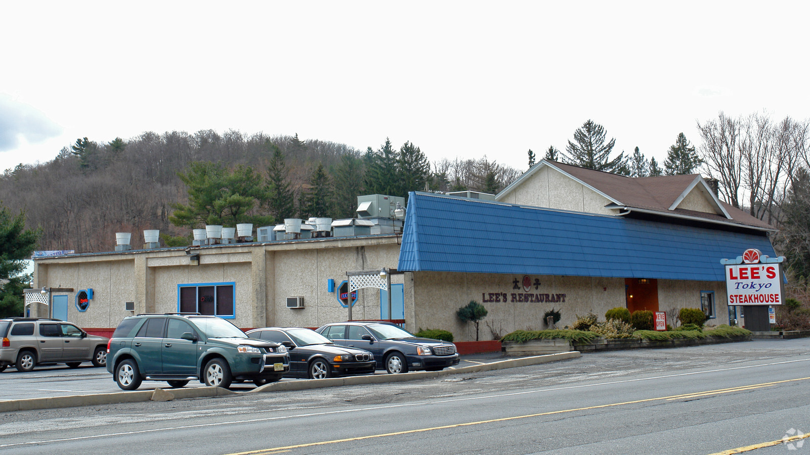
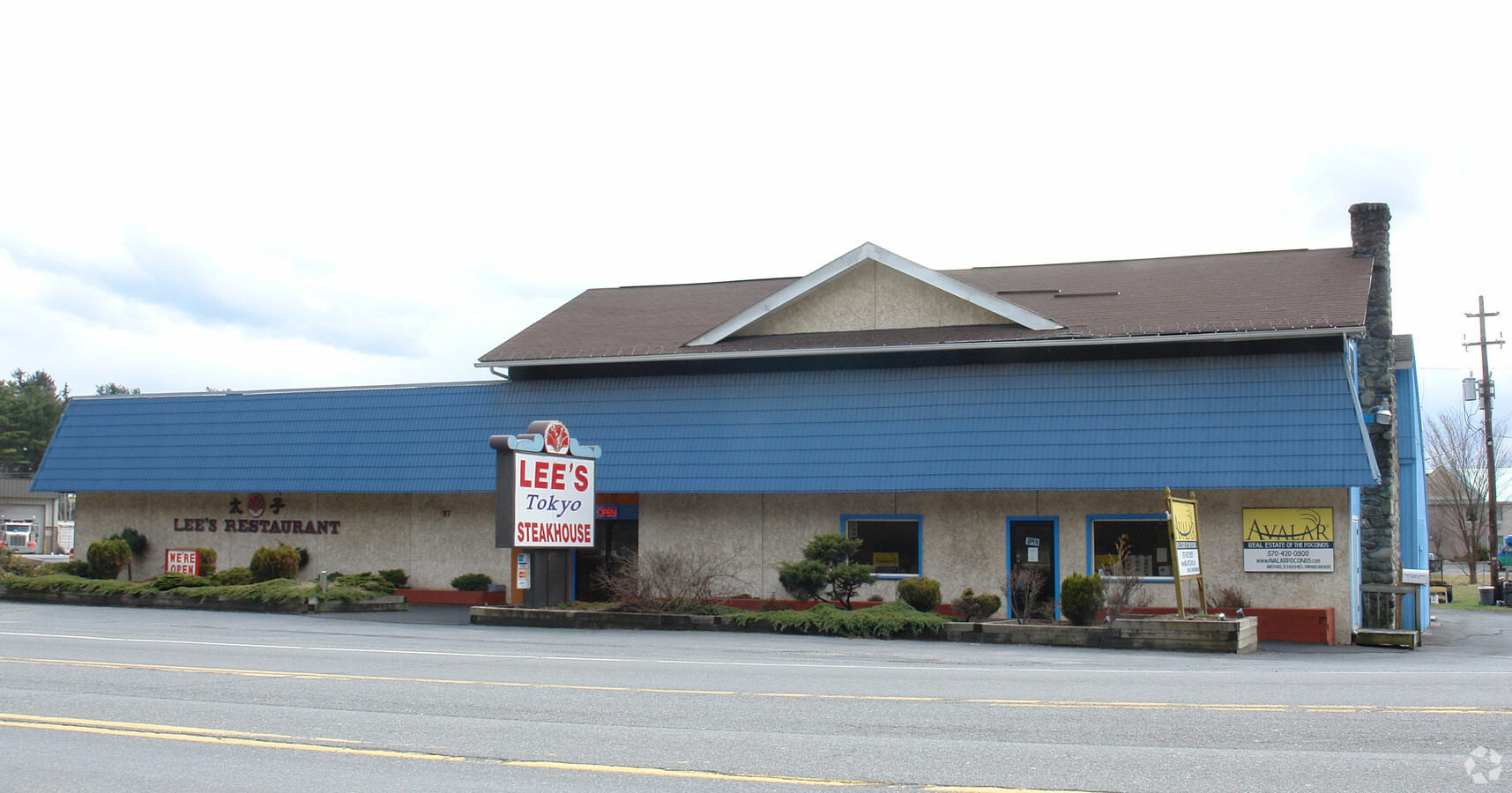
Property Record
3492 Route 611, Stroudsburg, PA 18360
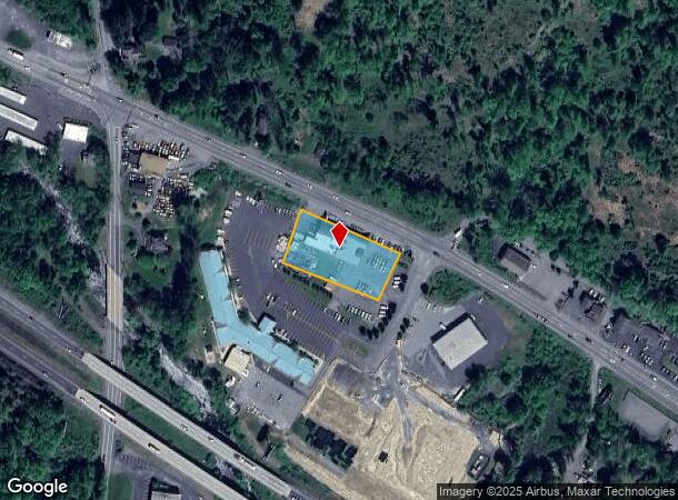
NEARBY LISTINGS FOR SALE OR LEASE
Property Detail
3492 Route 611
07.7.1.30
Lees Rest
Vehiclerentalsvehiclesales
MOUNTAIN CREEK GRILL
AE
Monroe
42089C0269E
Pennsylvania
2024
0.91 AC
2024
Monroe County
301101
Philadelphia
8,663 SF
East Stroudsburg, PA
DEMOGRAPHICS near 3492 Route 611
1 Mile
3 Mile
5 Mile
2024 Total Population
1,507
15,333
42,011
2029 Population
1,494
15,358
41,688
Pop Growth 2024-2029
(0.86%)
+ 0.16%
(0.77%)
Average Age
44
44
43
2024 Total Households
579
5,731
16,000
HH Growth 2024-2029
(0.86%)
+ 0.31%
(0.73%)
Median Household Inc
$81,530
$86,171
$77,727
Avg Household Size
2.50
2.60
2.50
2024 Avg HH Vehicles
2.00
2.00
2.00
Median Home Value
$261,184
$251,987
$241,852
Median Year Built
1982
1985
1981
Nearby Places
- Restaurants
- Banks
- Shops
- Fitness
- Groceries
PUBLIC TRANSPORTATION
AIRPORT
Lehigh Valley International
DRIVE
WALK
Distance
Lehigh Valley International
38 min
34.2 mi
Wilkes-Barre/Scranton International
DRIVE
WALK
Distance
Wilkes-Barre/Scranton International
52 min
47.7 mi
Nearby Properties
Address
Land Use
TOTAL SIZE
Lot Size
Zoning
Address
Land Use
TOTAL SIZE
Lot Size
Zoning
382,084 SF
43.31 AC
C-2
Address
Land Use
TOTAL SIZE
Lot Size
Zoning
265,064 SF
107.97 AC
R-1
Address
Land Use
TOTAL SIZE
Lot Size
Zoning
96,316 SF
34.38 AC
C-2
Address
Land Use
TOTAL SIZE
Lot Size
Zoning
174,532 SF
58.69 AC
R-2
Address
Land Use
TOTAL SIZE
Lot Size
Zoning
104,753 SF
24 AC
C-2
Address
Land Use
TOTAL SIZE
Lot Size
Zoning
57,088 SF
58.47 AC
C
Address
Land Use
TOTAL SIZE
Lot Size
Zoning
70,939 SF
2.33 AC
C-2
Address
Land Use
TOTAL SIZE
Lot Size
Zoning
48,364 SF
5.57 AC
C-4
Address
Land Use
TOTAL SIZE
Lot Size
Zoning
468,747 SF
Address
Land Use
TOTAL SIZE
Lot Size
Zoning
79,200 SF
67.68 AC
C
Address
Land Use
TOTAL SIZE
Lot Size
Zoning
49,848 SF
5.15 AC
C-2
Address
Land Use
TOTAL SIZE
Lot Size
Zoning
124,559 SF
8.53 AC
R-1
Address
Land Use
TOTAL SIZE
Lot Size
Zoning
115,422 SF
9.27 AC
R-1
Address
Land Use
TOTAL SIZE
Lot Size
Zoning
68,039 SF
5.49 AC
R-1
Address
Land Use
TOTAL SIZE
Lot Size
Zoning
103,185 SF
39.71 AC
C
Address
Land Use
TOTAL SIZE
Lot Size
Zoning
39,635 SF
4.78 AC
C-2
Address
Land Use
TOTAL SIZE
Lot Size
Zoning
32,166 SF
3.16 AC
C-2
Address
Land Use
TOTAL SIZE
Lot Size
Zoning
94,066 SF
36.26 AC
R-1
Address
Land Use
TOTAL SIZE
Lot Size
Zoning
10,988 SF
10 AC
R1
Address
Land Use
TOTAL SIZE
Lot Size
Zoning
49,255 SF
2.89 AC
C-2
Address
Land Use
TOTAL SIZE
Lot Size
Zoning
36,626 SF
10.26 AC
R1
Address
Land Use
TOTAL SIZE
Lot Size
Zoning
27,360 SF
4.52 AC
C-2
Address
Land Use
TOTAL SIZE
Lot Size
Zoning
28,225 SF
1.36 AC
R-1
Address
Land Use
TOTAL SIZE
Lot Size
Zoning
38,158 SF
6.04 AC
C
Address
Land Use
TOTAL SIZE
Lot Size
Zoning
35,950 SF
5.39 AC
C-2
Address
Land Use
TOTAL SIZE
Lot Size
Zoning
53,505 SF
Address
Land Use
TOTAL SIZE
Lot Size
Zoning
31,836 SF
3.01 AC
R-1
Address
Land Use
TOTAL SIZE
Lot Size
Zoning
42,825 SF
1 AC
Address
Land Use
TOTAL SIZE
Lot Size
Zoning
19,118 SF
5.30 AC
C-2
Address
Land Use
TOTAL SIZE
Lot Size
Zoning
3,516 SF
24.60 AC
C-2
The World's #1 Commercial Real Estate Marketplace
Connect with us
© 2025 CoStar Group
The information above has been obtained from sources believed reliable. While we do not doubt its accuracy we have not verified it and make no guarantee, warranty or representation about it. It is your responsibility to independently confirm its accuracy and completeness. Any projections, opinions, assumptions, or estimates used are for example only and do not represent the current or future performance of the property. The value of this transaction to you depends on tax and other factors which should be evaluated by your tax, financial, and legal advisors. You and your advisors should conduct a careful, independent investigation of the property to determine to your satisfaction the suitability of the property for your needs.