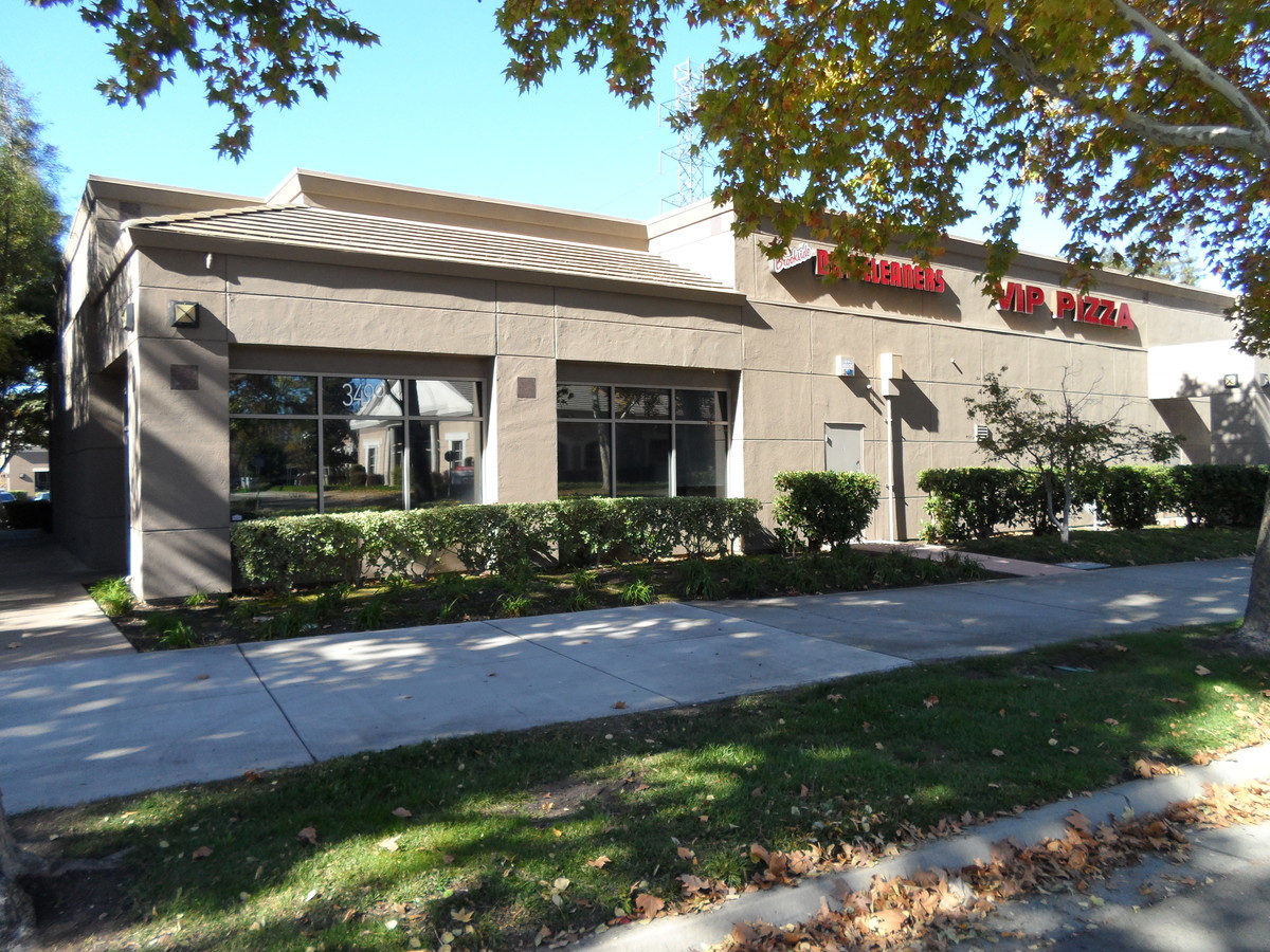
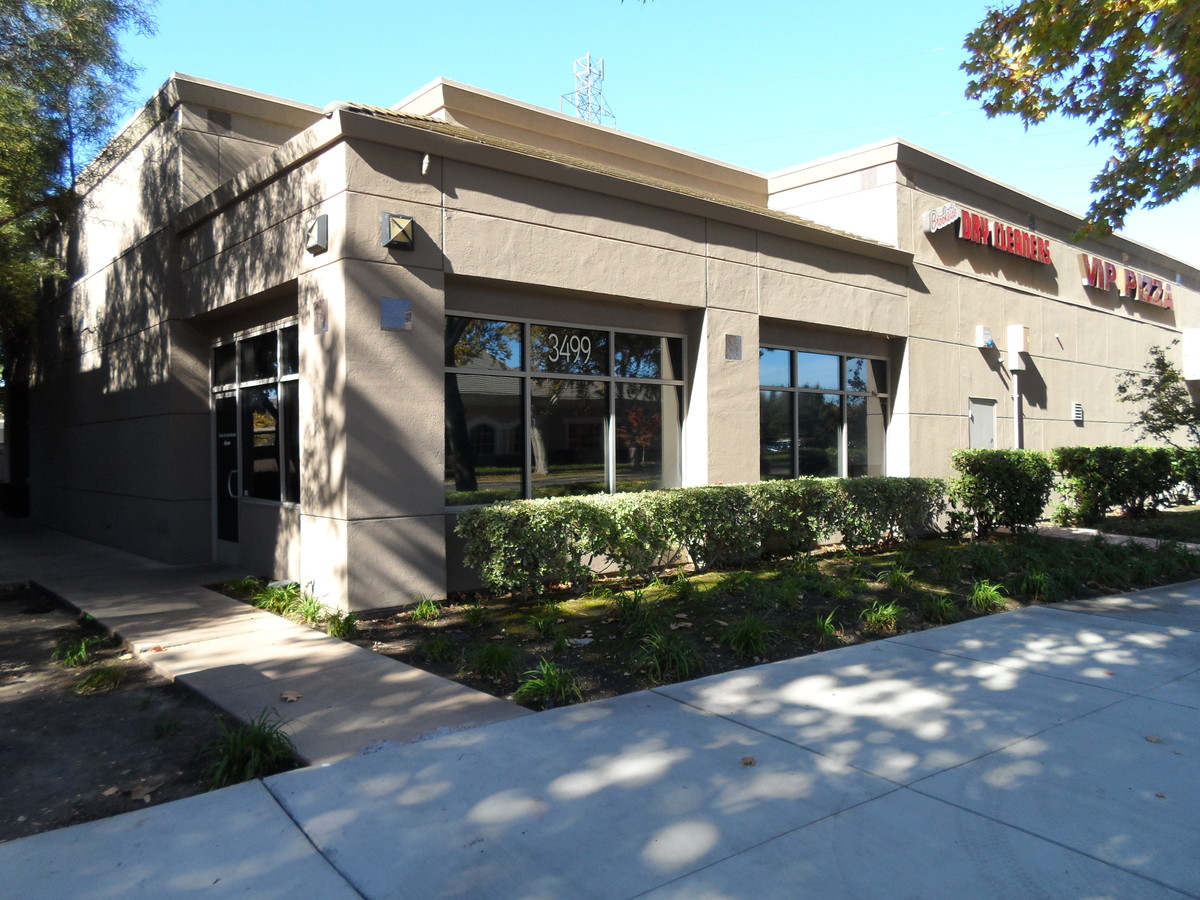
Property Record
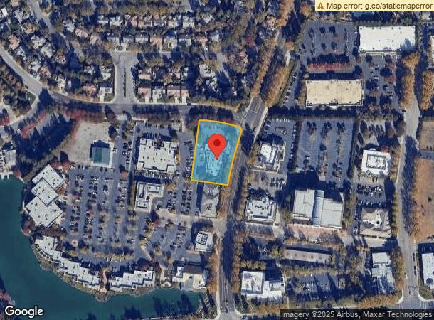
3499 Brookside Rd, Stockton, CA 95219

NEARBY LISTINGS FOR SALE OR LEASE
Property Detail
3499 Brookside Rd
Stockton-Lodi, CA
Brookside Estates 02
116-280-11
PARCEL MAPS 20 PG 120 LOT 85-6D
Storesoffices
San Joaquin
X
California
06077C0455F
85-6d
2024
1.03 AC
2024
Stockton
003119
Stockton/Modesto
11,443 SF
DEMOGRAPHICS near 3499 Brookside Rd
1 Mile
3 Mile
5 Mile
2024 Total Population
13,677
100,287
261,325
2029 Population
14,385
105,608
275,570
Pop Growth 2024-2029
+ 5.18%
+ 5.31%
+ 5.45%
Average Age
41
38
37
2024 Total Households
5,136
36,792
85,712
HH Growth 2024-2029
+ 5.14%
+ 5.40%
+ 5.56%
Median Household Inc
$107,442
$74,303
$69,665
Avg Household Size
2.70
2.60
2.90
2024 Avg HH Vehicles
2.00
2.00
2.00
Median Home Value
$605,967
$412,546
$380,519
Median Year Built
1991
1972
1976
Nearby Places
- Restaurants
- Banks
- Shops
- Fitness
- Groceries
PUBLIC TRANSPORTATION
COMMUTER RAIL
Stockton (San Joaquins - Amtrak)
DRIVE
WALK
Distance
Stockton (San Joaquins - Amtrak)
10 min
5.8 mi
Stockton (Altamont Corridor Express - Altamont Commuter Express (ACE))
DRIVE
WALK
Distance
Stockton (Altamont Corridor Express - Altamont Commuter Express (ACE))
11 min
6.4 mi
AIRPORT
Stockton Metro
DRIVE
WALK
Distance
Stockton Metro
17 min
11.1 mi
Freight Ports
Port of Stockton
DRIVE
WALK
Distance
Port of Stockton
7 min
3.6 mi
SALE & LEASE HISTORY
LISTING DATE
SALE/LEASE

Dec 12, 2018
For Lease
Nearby Properties
Address
Land Use
TOTAL SIZE
Lot Size
Zoning
Address
Land Use
TOTAL SIZE
Lot Size
Zoning
82.44 AC
Address
Land Use
TOTAL SIZE
Lot Size
Zoning
7.22 AC
Address
Land Use
TOTAL SIZE
Lot Size
Zoning
10,208 SF
47.57 AC
Address
Land Use
TOTAL SIZE
Lot Size
Zoning
22.89 AC
Address
Land Use
TOTAL SIZE
Lot Size
Zoning
161,229 SF
10.16 AC
Address
Land Use
TOTAL SIZE
Lot Size
Zoning
70,681 SF
9.20 AC
Address
Land Use
TOTAL SIZE
Lot Size
Zoning
151,271 SF
8.97 AC
Address
Land Use
TOTAL SIZE
Lot Size
Zoning
82,512 SF
4.14 AC
Address
Land Use
TOTAL SIZE
Lot Size
Zoning
14,212 SF
26.11 AC
Address
Land Use
TOTAL SIZE
Lot Size
Zoning
18.66 AC
Address
Land Use
TOTAL SIZE
Lot Size
Zoning
97,276 SF
5.46 AC
RHD
Address
Land Use
TOTAL SIZE
Lot Size
Zoning
105,969 SF
3.96 AC
Address
Land Use
TOTAL SIZE
Lot Size
Zoning
14,035 SF
10.02 AC
Address
Land Use
TOTAL SIZE
Lot Size
Zoning
77,568 SF
2.58 AC
Address
Land Use
TOTAL SIZE
Lot Size
Zoning
81,482 SF
5 AC
RM
Address
Land Use
TOTAL SIZE
Lot Size
Zoning
69,468 SF
3.64 AC
Address
Land Use
TOTAL SIZE
Lot Size
Zoning
119,341 SF
7.98 AC
Address
Land Use
TOTAL SIZE
Lot Size
Zoning
17,573 SF
3.17 AC
Address
Land Use
TOTAL SIZE
Lot Size
Zoning
176,492 SF
10.55 AC
Address
Land Use
TOTAL SIZE
Lot Size
Zoning
146,660 SF
8.35 AC
Address
Land Use
TOTAL SIZE
Lot Size
Zoning
4,950 SF
36.83 AC
Address
Land Use
TOTAL SIZE
Lot Size
Zoning
5.70 AC
RL
Address
Land Use
TOTAL SIZE
Lot Size
Zoning
11,720 SF
4.28 AC
Address
Land Use
TOTAL SIZE
Lot Size
Zoning
95,592 SF
3.20 AC
O
Address
Land Use
TOTAL SIZE
Lot Size
Zoning
44,752 SF
2.31 AC
Address
Land Use
TOTAL SIZE
Lot Size
Zoning
59,524 SF
2.69 AC
Address
Land Use
TOTAL SIZE
Lot Size
Zoning
64,654 SF
3.55 AC
Address
Land Use
TOTAL SIZE
Lot Size
Zoning
55,228 SF
4.04 AC
Address
Land Use
TOTAL SIZE
Lot Size
Zoning
7.34 AC
The World's #1 Commercial Real Estate Marketplace
Connect with us
© 2025 CoStar Group
The information above has been obtained from sources believed reliable. While we do not doubt its accuracy we have not verified it and make no guarantee, warranty or representation about it. It is your responsibility to independently confirm its accuracy and completeness. Any projections, opinions, assumptions, or estimates used are for example only and do not represent the current or future performance of the property. The value of this transaction to you depends on tax and other factors which should be evaluated by your tax, financial, and legal advisors. You and your advisors should conduct a careful, independent investigation of the property to determine to your satisfaction the suitability of the property for your needs.