Property Record
3534 Kraft Rd, Naples, FL 34105


NEARBY LISTINGS FOR SALE OR LEASE
Property Detail
3534 Kraft Rd
Naples-Immokalee-Marco Island, FL
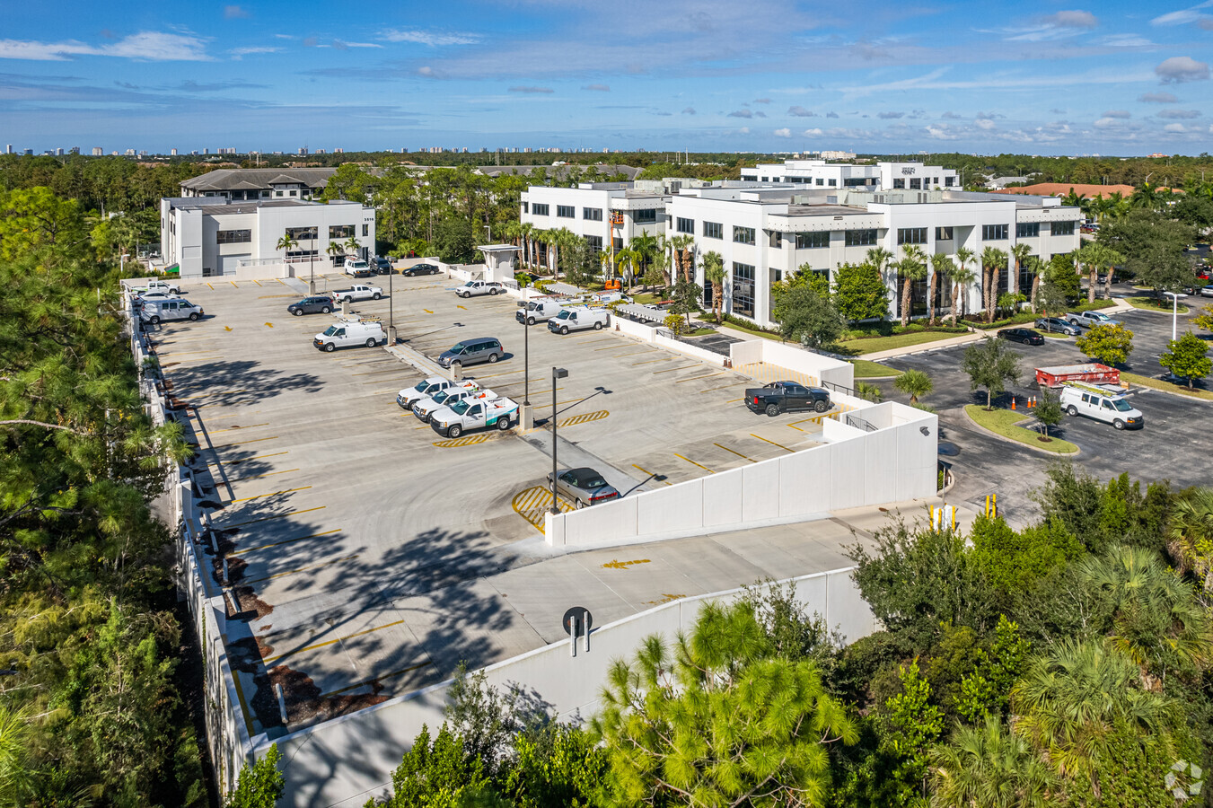
3500 Corporate Plaza
76720001520
3500 CORPORATE PLAZA TRACT A
Officebuilding
Collier
AH
Florida
12021C0403J
1
2023
4.91 AC
2023
North Naples
010432
Southwest Florida
76,691 SF
DEMOGRAPHICS near 3534 Kraft Rd
1 Mile
3 Mile
5 Mile
2024 Total Population
6,068
47,457
154,316
2029 Population
6,802
52,862
173,611
Pop Growth 2024-2029
+ 12.10%
+ 11.39%
+ 12.50%
Average Age
43
46
49
2024 Total Households
2,532
20,211
66,291
HH Growth 2024-2029
+ 11.57%
+ 11.30%
+ 12.49%
Median Household Inc
$86,636
$79,137
$77,401
Avg Household Size
2.30
2.20
2.20
2024 Avg HH Vehicles
2.00
2.00
2.00
Median Home Value
$498,560
$451,784
$462,666
Median Year Built
2003
1995
1993
Nearby Places
- Restaurants
- Banks
- Shops
- Fitness
- Groceries
PUBLIC TRANSPORTATION
AIRPORT
Southwest Florida International
DRIVE
WALK
Distance
Southwest Florida International
36 min
28.0 mi
Freight Ports
Port Everglades
DRIVE
WALK
Distance
Port Everglades
118 min
106.1 mi
SALE & LEASE HISTORY
LISTING DATE
SALE/LEASE

May 28, 2021
For Lease
Nearby Properties
Address
Land Use
TOTAL SIZE
Lot Size
Zoning
Address
Land Use
TOTAL SIZE
Lot Size
Zoning
688,632 SF
29.28 AC
A
Address
Land Use
TOTAL SIZE
Lot Size
Zoning
905,326 SF
69.45 AC
GC
Address
Land Use
TOTAL SIZE
Lot Size
Zoning
411,909 SF
181.63 AC
RSF-3
Address
Land Use
TOTAL SIZE
Lot Size
Zoning
398,094 SF
17.78 AC
A
Address
Land Use
TOTAL SIZE
Lot Size
Zoning
216,788 SF
85.21 AC
PUD
Address
Land Use
TOTAL SIZE
Lot Size
Zoning
218,013 SF
77.73 AC
A
Address
Land Use
TOTAL SIZE
Lot Size
Zoning
453,819 SF
4.53 AC
Address
Land Use
TOTAL SIZE
Lot Size
Zoning
371,089 SF
27.48 AC
PUD
Address
Land Use
TOTAL SIZE
Lot Size
Zoning
344,520 SF
21.91 AC
PUD
Address
Land Use
TOTAL SIZE
Lot Size
Zoning
353,756 SF
23.26 AC
ROAD
Address
Land Use
TOTAL SIZE
Lot Size
Zoning
418,075 SF
38.19 AC
Address
Land Use
TOTAL SIZE
Lot Size
Zoning
131,210 SF
3.62 AC
Address
Land Use
TOTAL SIZE
Lot Size
Zoning
137,799 SF
5.78 AC
Address
Land Use
TOTAL SIZE
Lot Size
Zoning
251,849 SF
27.42 AC
PUD
Address
Land Use
TOTAL SIZE
Lot Size
Zoning
164,004 SF
2.66 AC
Address
Land Use
TOTAL SIZE
Lot Size
Zoning
256,507 SF
26.32 AC
PUD
Address
Land Use
TOTAL SIZE
Lot Size
Zoning
277,290 SF
31.01 AC
PUD
Address
Land Use
TOTAL SIZE
Lot Size
Zoning
134,551 SF
19.50 AC
PUD
Address
Land Use
TOTAL SIZE
Lot Size
Zoning
106,596 SF
9.23 AC
PUD
Address
Land Use
TOTAL SIZE
Lot Size
Zoning
89,691 SF
3.42 AC
Address
Land Use
TOTAL SIZE
Lot Size
Zoning
100,375 SF
3.71 AC
Address
Land Use
TOTAL SIZE
Lot Size
Zoning
99,700 SF
3.08 AC
Address
Land Use
TOTAL SIZE
Lot Size
Zoning
99,700 SF
3.05 AC
Address
Land Use
TOTAL SIZE
Lot Size
Zoning
145,061 SF
18.82 AC
PUD
Address
Land Use
TOTAL SIZE
Lot Size
Zoning
189,520 SF
9.98 AC
Address
Land Use
TOTAL SIZE
Lot Size
Zoning
188,741 SF
9.04 AC
A
Address
Land Use
TOTAL SIZE
Lot Size
Zoning
119,011 SF
13.50 AC
PD
Address
Land Use
TOTAL SIZE
Lot Size
Zoning
174,104 SF
13.36 AC
PUD
Address
Land Use
TOTAL SIZE
Lot Size
Zoning
126,448 SF
13.74 AC
PUD
Address
Land Use
TOTAL SIZE
Lot Size
Zoning
90,905 SF
174.22 AC
PUD
The World's #1 Commercial Real Estate Marketplace
Connect with us
© 2025 CoStar Group
The information above has been obtained from sources believed reliable. While we do not doubt its accuracy we have not verified it and make no guarantee, warranty or representation about it. It is your responsibility to independently confirm its accuracy and completeness. Any projections, opinions, assumptions, or estimates used are for example only and do not represent the current or future performance of the property. The value of this transaction to you depends on tax and other factors which should be evaluated by your tax, financial, and legal advisors. You and your advisors should conduct a careful, independent investigation of the property to determine to your satisfaction the suitability of the property for your needs.