Property Record
3614 W Highway 74 E, Monroe, NC 28112


NEARBY LISTINGS FOR SALE OR LEASE
Property Detail
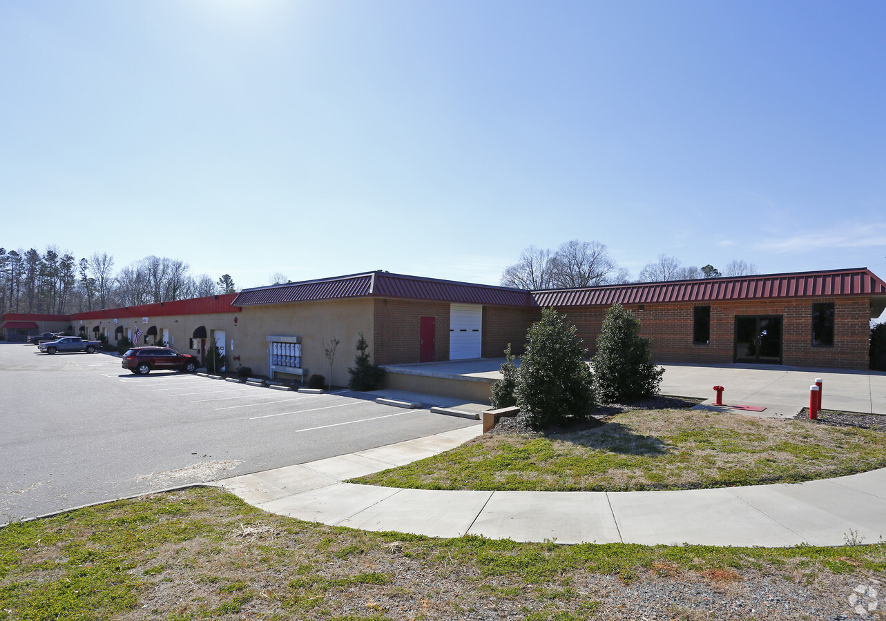
3614 W Highway 74 E
09-057-018-B
HELMS 3614 HWY 74
Publicstorage
Union
X
North Carolina
3710546500J
6.24 AC
2024
Union County
2024
Charlotte
020502
Charlotte-Concord-Gastonia, NC-SC
67,695 SF
DEMOGRAPHICS near 3614 W Highway 74 E
1 Mile
3 Mile
5 Mile
2024 Total Population
2,716
9,960
24,962
2029 Population
2,943
10,976
27,786
Pop Growth 2024-2029
+ 8.36%
+ 10.20%
+ 11.31%
Average Age
36
35
38
2024 Total Households
763
2,819
8,059
HH Growth 2024-2029
+ 9.44%
+ 11.32%
+ 11.91%
Median Household Inc
$55,389
$55,661
$54,146
Avg Household Size
2.60
2.80
2.70
2024 Avg HH Vehicles
2.00
2.00
2.00
Median Home Value
$240,350
$205,496
$259,492
Median Year Built
1987
1988
1984
Nearby Places
- Restaurants
- Banks
- Shops
- Fitness
- Groceries
SALE & LEASE HISTORY
LISTING DATE
SALE/LEASE

Sep 25, 2016
For Lease
Nearby Properties
Address
Land Use
TOTAL SIZE
Lot Size
Zoning
Address
Land Use
TOTAL SIZE
Lot Size
Zoning
68,870 SF
33.25 AC
HC WINGATE
Address
Land Use
TOTAL SIZE
Lot Size
Zoning
68,258 SF
3.39 AC
R-20 WINGA
Address
Land Use
TOTAL SIZE
Lot Size
Zoning
17,304 SF
0.61 AC
B-6 WINGAT
Address
Land Use
TOTAL SIZE
Lot Size
Zoning
2,873 SF
55.59 AC
G-I MONROE
Address
Land Use
TOTAL SIZE
Lot Size
Zoning
79,493 SF
32.65 AC
RA-20 UNIO
Address
Land Use
TOTAL SIZE
Lot Size
Zoning
28,468 SF
3.51 AC
B-1 WINGAT
Address
Land Use
TOTAL SIZE
Lot Size
Zoning
214,256 SF
16.68 AC
G-I MONROE
Address
Land Use
TOTAL SIZE
Lot Size
Zoning
80,000 SF
10.18 AC
G-I MONROE
Address
Land Use
TOTAL SIZE
Lot Size
Zoning
64,743 SF
13.82 AC
R-20 WINGA
Address
Land Use
TOTAL SIZE
Lot Size
Zoning
40,297 SF
7.95 AC
CD MONROE
Address
Land Use
TOTAL SIZE
Lot Size
Zoning
138,123 SF
113.13 AC
B-1 WINGAT
Address
Land Use
TOTAL SIZE
Lot Size
Zoning
28.93 AC
Address
Land Use
TOTAL SIZE
Lot Size
Zoning
3,712 SF
16.61 AC
G-I MONROE
Address
Land Use
TOTAL SIZE
Lot Size
Zoning
28,512 SF
13.74 AC
B-1 WINGAT
Address
Land Use
TOTAL SIZE
Lot Size
Zoning
166,109 SF
27.24 AC
G-I MONROE
Address
Land Use
TOTAL SIZE
Lot Size
Zoning
98,000 SF
14.92 AC
G-I MONROE
Address
Land Use
TOTAL SIZE
Lot Size
Zoning
15,103 SF
2.01 AC
B-1 WINGAT
Address
Land Use
TOTAL SIZE
Lot Size
Zoning
212,988 SF
23.47 AC
G-I MONROE
Address
Land Use
TOTAL SIZE
Lot Size
Zoning
59,738 SF
21.63 AC
G-I MONROE
Address
Land Use
TOTAL SIZE
Lot Size
Zoning
26,016 SF
5.11 AC
GB MONROE
Address
Land Use
TOTAL SIZE
Lot Size
Zoning
563.78 AC
RA-20 WING
Address
Land Use
TOTAL SIZE
Lot Size
Zoning
164.35 AC
R-20 MONRO
Address
Land Use
TOTAL SIZE
Lot Size
Zoning
25,794 SF
1.80 AC
R-6 WINGAT
Address
Land Use
TOTAL SIZE
Lot Size
Zoning
47,125 SF
11.42 AC
G-I MONROE
Address
Land Use
TOTAL SIZE
Lot Size
Zoning
21,804 SF
0.48 AC
R-20 WINGA
Address
Land Use
TOTAL SIZE
Lot Size
Zoning
21,812 SF
14.90 AC
G-I MONROE
Address
Land Use
TOTAL SIZE
Lot Size
Zoning
21,804 SF
0.92 AC
R-6 WINGAT
Address
Land Use
TOTAL SIZE
Lot Size
Zoning
88,895 SF
30.04 AC
G-I MONROE
Address
Land Use
TOTAL SIZE
Lot Size
Zoning
8,712 SF
0.37 AC
B-6 WINGAT
The World's #1 Commercial Real Estate Marketplace
Connect with us
© 2025 CoStar Group
The information above has been obtained from sources believed reliable. While we do not doubt its accuracy we have not verified it and make no guarantee, warranty or representation about it. It is your responsibility to independently confirm its accuracy and completeness. Any projections, opinions, assumptions, or estimates used are for example only and do not represent the current or future performance of the property. The value of this transaction to you depends on tax and other factors which should be evaluated by your tax, financial, and legal advisors. You and your advisors should conduct a careful, independent investigation of the property to determine to your satisfaction the suitability of the property for your needs.