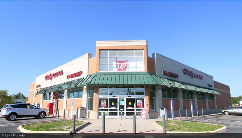
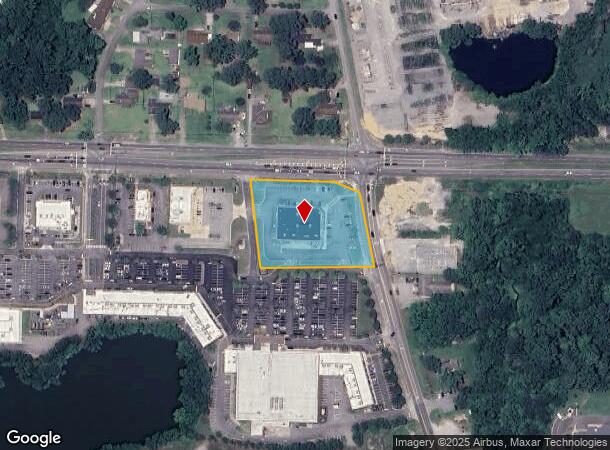
Property Record
3633 Bridge Rd, Suffolk, VA 23435
NEARBY LISTINGS FOR SALE OR LEASE
Property Detail
3633 Bridge Rd
301302200
HWY.17,MATTHEWS,RT.626
Commercialnec
Suffolk City
X
Virginia
5101560127E
1.78 AC
2024
Northern Suffolk
2024
Hampton Roads
075203
Virginia Beach-Norfolk-Newport News, VA-NC
14,406 SF
DEMOGRAPHICS near 3633 Bridge Rd
1 Mile
3 Mile
5 Mile
2024 Total Population
6,937
36,710
88,319
2029 Population
7,868
40,276
93,449
Pop Growth 2024-2029
+ 13.42%
+ 9.71%
+ 5.81%
Average Age
39
38
39
2024 Total Households
2,648
14,011
33,513
HH Growth 2024-2029
+ 13.67%
+ 9.96%
+ 5.93%
Median Household Inc
$104,757
$94,194
$92,503
Avg Household Size
2.50
2.60
2.60
2024 Avg HH Vehicles
2.00
2.00
2.00
Median Home Value
$366,104
$324,782
$304,732
Median Year Built
2007
2001
1990
Nearby Places
- Restaurants
- Banks
- Shops
- Fitness
- Groceries
PUBLIC TRANSPORTATION
AIRPORT
Norfolk International
DRIVE
WALK
Distance
Norfolk International
30 min
17.3 mi
Newport News/Williamsburg International
DRIVE
WALK
Distance
Newport News/Williamsburg International
37 min
26.7 mi
Freight Ports
Virginia Port Authority - Portsmouth
DRIVE
WALK
Distance
Virginia Port Authority - Portsmouth
17 min
9.5 mi
SALE & LEASE HISTORY
LISTING DATE
SALE/LEASE

Sep 24, 2016
For Sale
Mar 31, 2017
For Sale
Nearby Properties
Address
Land Use
TOTAL SIZE
Lot Size
Zoning
Address
Land Use
TOTAL SIZE
Lot Size
Zoning
13.52 AC
MIXED USE
Address
Land Use
TOTAL SIZE
Lot Size
Zoning
8,891 SF
41.46 AC
LIGHT INDU
Address
Land Use
TOTAL SIZE
Lot Size
Zoning
31,635 SF
10.36 AC
MIXED USE
Address
Land Use
TOTAL SIZE
Lot Size
Zoning
30.85 AC
PLANNED DE
Address
Land Use
TOTAL SIZE
Lot Size
Zoning
6,446 SF
8.76 AC
MIXED USE
Address
Land Use
TOTAL SIZE
Lot Size
Zoning
278,978 SF
26.63 AC
LIGHT INDU
Address
Land Use
TOTAL SIZE
Lot Size
Zoning
97,411 SF
17.90 AC
GENERAL CO
Address
Land Use
TOTAL SIZE
Lot Size
Zoning
22,723 SF
10.97 AC
GENERAL CO
Address
Land Use
TOTAL SIZE
Lot Size
Zoning
43,917 SF
5.72 AC
MIXED USE
Address
Land Use
TOTAL SIZE
Lot Size
Zoning
101,959 SF
12.65 AC
LIGHT INDU
Address
Land Use
TOTAL SIZE
Lot Size
Zoning
15,746 SF
24.70 AC
GENERAL CO
Address
Land Use
TOTAL SIZE
Lot Size
Zoning
71,769 SF
20.80 AC
RES LOW-ME
Address
Land Use
TOTAL SIZE
Lot Size
Zoning
11.83 AC
OFFICE-INS
Address
Land Use
TOTAL SIZE
Lot Size
Zoning
235,968 SF
13.25 AC
RMF1: MULT
Address
Land Use
TOTAL SIZE
Lot Size
Zoning
41,440 SF
6.60 AC
LIGHT INDU
Address
Land Use
TOTAL SIZE
Lot Size
Zoning
222,810 SF
42.16 AC
MULTI: MUL
Address
Land Use
TOTAL SIZE
Lot Size
Zoning
6,788 SF
19.93 AC
GENERAL CO
Address
Land Use
TOTAL SIZE
Lot Size
Zoning
98,964 SF
13.57 AC
PLANNED DE
Address
Land Use
TOTAL SIZE
Lot Size
Zoning
126,000 SF
21.51 AC
LIGHT INDU
Address
Land Use
TOTAL SIZE
Lot Size
Zoning
29,060 SF
14.75 AC
RESIDENTIA
Address
Land Use
TOTAL SIZE
Lot Size
Zoning
166,481 SF
11.15 AC
OFFICE-INS
Address
Land Use
TOTAL SIZE
Lot Size
Zoning
42,666 SF
7.72 AC
RMF1: MULT
Address
Land Use
TOTAL SIZE
Lot Size
Zoning
120,780 SF
10.20 AC
MIXED USE
Address
Land Use
TOTAL SIZE
Lot Size
Zoning
49,736 SF
3.32 AC
MIXED USE
Address
Land Use
TOTAL SIZE
Lot Size
Zoning
91,005 SF
26.77 AC
M1: LIGHT
The World's #1 Commercial Real Estate Marketplace
Connect with us
© 2025 CoStar Group
The information above has been obtained from sources believed reliable. While we do not doubt its accuracy we have not verified it and make no guarantee, warranty or representation about it. It is your responsibility to independently confirm its accuracy and completeness. Any projections, opinions, assumptions, or estimates used are for example only and do not represent the current or future performance of the property. The value of this transaction to you depends on tax and other factors which should be evaluated by your tax, financial, and legal advisors. You and your advisors should conduct a careful, independent investigation of the property to determine to your satisfaction the suitability of the property for your needs.