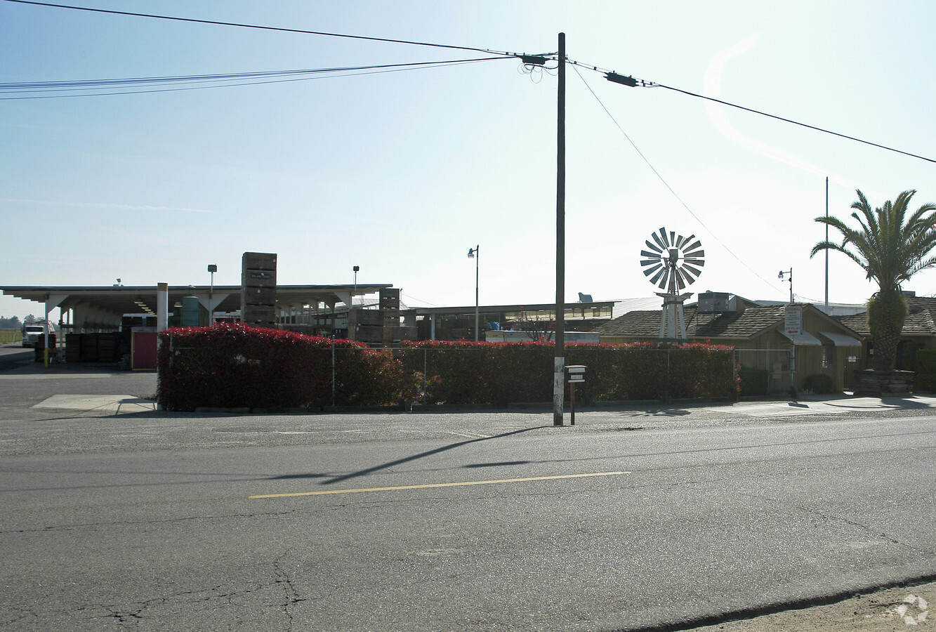
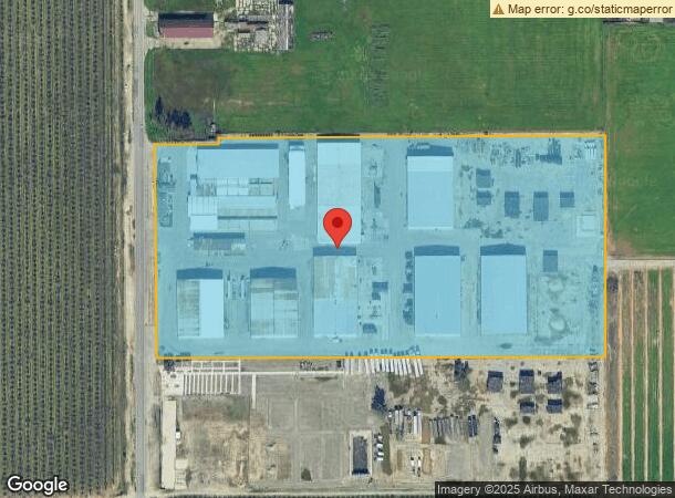
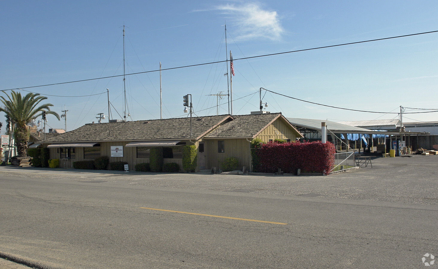
Property Record
3636 N Grantland Ave, Fresno, CA 93723
NEARBY LISTINGS FOR SALE OR LEASE
Property Detail
3636 N Grantland Ave
Fresno, CA
Columbia Park
512-050-59
18.52 ACS PARCEL 2 P/M 1771 BK 10 PG 61
Packing
Fresno
X
California
06019C1545H
30
2023
18.52 AC
2023
Northwest Fresno
003812
Fresno
191,418 SF
DEMOGRAPHICS near 3636 N Grantland Ave
1 Mile
3 Mile
5 Mile
2024 Total Population
1,945
51,570
145,783
2029 Population
2,118
52,996
148,963
Pop Growth 2024-2029
+ 8.89%
+ 2.77%
+ 2.18%
Average Age
38
35
36
2024 Total Households
568
14,418
46,296
HH Growth 2024-2029
+ 8.98%
+ 2.76%
+ 2.17%
Median Household Inc
$110,428
$82,779
$67,944
Avg Household Size
3.40
3.40
3.10
2024 Avg HH Vehicles
3.00
2.00
2.00
Median Home Value
$397,777
$339,145
$323,000
Median Year Built
2010
1997
1989
Nearby Places
- Restaurants
- Banks
- Shops
- Fitness
- Groceries
PUBLIC TRANSPORTATION
AIRPORT
Fresno Yosemite International
DRIVE
WALK
Distance
Fresno Yosemite International
24 min
12.1 mi
Freight Ports
Port of Stockton
DRIVE
WALK
Distance
Port of Stockton
146 min
120.6 mi
Nearby Properties
Address
Land Use
TOTAL SIZE
Lot Size
Zoning
Address
Land Use
TOTAL SIZE
Lot Size
Zoning
51,363 SF
3.14 AC
CG
Address
Land Use
TOTAL SIZE
Lot Size
Zoning
128,386 SF
8.30 AC
R2
Address
Land Use
TOTAL SIZE
Lot Size
Zoning
92,279 SF
0.01 AC
CM
Address
Land Use
TOTAL SIZE
Lot Size
Zoning
145,783 SF
9.22 AC
R2
Address
Land Use
TOTAL SIZE
Lot Size
Zoning
83,026 SF
5.02 AC
RM1
Address
Land Use
TOTAL SIZE
Lot Size
Zoning
108,795 SF
7.32 AC
R2
Address
Land Use
TOTAL SIZE
Lot Size
Zoning
84,050 SF
6.84 AC
R3
Address
Land Use
TOTAL SIZE
Lot Size
Zoning
72,277 SF
5.50 AC
M1
Address
Land Use
TOTAL SIZE
Lot Size
Zoning
83,348 SF
9.74 AC
SPLIT
Address
Land Use
TOTAL SIZE
Lot Size
Zoning
75,144 SF
3.90 AC
R3
Address
Land Use
TOTAL SIZE
Lot Size
Zoning
83,931 SF
5.91 AC
SPLIT
Address
Land Use
TOTAL SIZE
Lot Size
Zoning
185,616 SF
7.92 AC
R3
Address
Land Use
TOTAL SIZE
Lot Size
Zoning
147,297 SF
18.86 AC
SL
Address
Land Use
TOTAL SIZE
Lot Size
Zoning
133,790 SF
0.01 AC
CM
Address
Land Use
TOTAL SIZE
Lot Size
Zoning
76,477 SF
3.27 AC
M1
Address
Land Use
TOTAL SIZE
Lot Size
Zoning
136,002 SF
10.57 AC
IL
Address
Land Use
TOTAL SIZE
Lot Size
Zoning
280,340 SF
49.45 AC
M1
Address
Land Use
TOTAL SIZE
Lot Size
Zoning
96,760 SF
11.11 AC
SPLIT
Address
Land Use
TOTAL SIZE
Lot Size
Zoning
18.61 AC
CR
Address
Land Use
TOTAL SIZE
Lot Size
Zoning
109,180 SF
6.06 AC
CM
Address
Land Use
TOTAL SIZE
Lot Size
Zoning
67,864 SF
3.16 AC
RMX
Address
Land Use
TOTAL SIZE
Lot Size
Zoning
144,307 SF
8.36 AC
CM
Address
Land Use
TOTAL SIZE
Lot Size
Zoning
8,200 SF
2.41 AC
CP
Address
Land Use
TOTAL SIZE
Lot Size
Zoning
47,680 SF
0.01 AC
CM
Address
Land Use
TOTAL SIZE
Lot Size
Zoning
14,740 SF
1.95 AC
C1
Address
Land Use
TOTAL SIZE
Lot Size
Zoning
51,264 SF
3.13 AC
CM
Address
Land Use
TOTAL SIZE
Lot Size
Zoning
1,945 SF
118.76 AC
AE20
Address
Land Use
TOTAL SIZE
Lot Size
Zoning
38,208 SF
3.88 AC
C6
Address
Land Use
TOTAL SIZE
Lot Size
Zoning
37,616 SF
2.56 AC
M1
Address
Land Use
TOTAL SIZE
Lot Size
Zoning
39,420 SF
1.39 AC
C6
The World's #1 Commercial Real Estate Marketplace
Connect with us
© 2025 CoStar Group
The information above has been obtained from sources believed reliable. While we do not doubt its accuracy we have not verified it and make no guarantee, warranty or representation about it. It is your responsibility to independently confirm its accuracy and completeness. Any projections, opinions, assumptions, or estimates used are for example only and do not represent the current or future performance of the property. The value of this transaction to you depends on tax and other factors which should be evaluated by your tax, financial, and legal advisors. You and your advisors should conduct a careful, independent investigation of the property to determine to your satisfaction the suitability of the property for your needs.