Property Record
3681 Ne 47Th Ave, Gainesville, FL 32609


NEARBY LISTINGS FOR SALE OR LEASE
-
-
View all Gainesville listings for sale on LoopNet.com
Property Detail
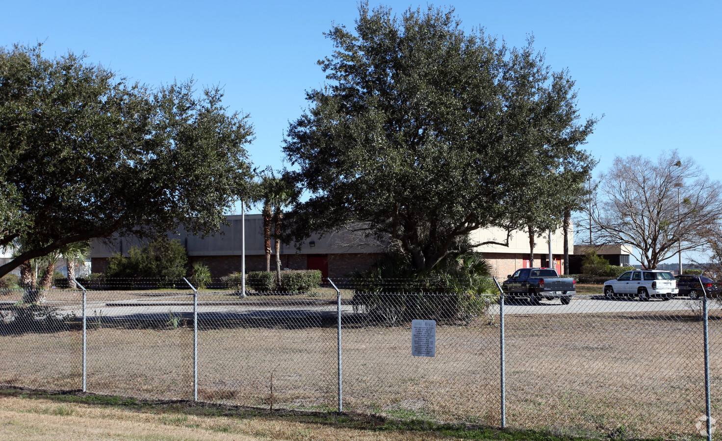
3681 Ne 47Th Ave
Gainesville, FL
Haile Lt 65 A Condo
08161-000-000
S 1708 FT SEC 13 E OF RR/W LESS SPERRY TRACT LESS PENN CHEM TRACT ALSO SEC 23 E OF RR/W LESS OR 647/409 & OR 660/418 & ALL SEC 24 & 56.5A IN SEC 26 PER DB 199/ 140 TOGETHER W/ 25 FT ADJ ON N SIDE ALSO COM 2033.55 FT W OF NE COR SEC 25 S 30 DEG E 1294
Airport
Alachua
A
Florida
12001C0309D
11
2023
1,093.63 AC
2024
Gainesville
001902
Other Market Areas
341,625 SF
DEMOGRAPHICS near 3681 Ne 47Th Ave
1 Mile
3 Mile
5 Mile
2024 Total Population
311
17,828
73,832
2029 Population
331
18,970
77,545
Pop Growth 2024-2029
+ 6.43%
+ 6.41%
+ 5.03%
Average Age
37
38
35
2024 Total Households
154
6,475
28,461
HH Growth 2024-2029
+ 6.49%
+ 6.30%
+ 5.25%
Median Household Inc
$27,624
$37,209
$38,843
Avg Household Size
2.00
2.40
2.20
2024 Avg HH Vehicles
1.00
1.00
1.00
Median Home Value
$75,925
$132,587
$166,134
Median Year Built
1982
1975
1976
Nearby Places
- Restaurants
- Banks
- Shops
- Fitness
- Groceries
PUBLIC TRANSPORTATION
AIRPORT
Gainesville Regional
DRIVE
WALK
Distance
Gainesville Regional
9 min
2.8 mi
Freight Ports
Jacksonville Port
DRIVE
WALK
Distance
Jacksonville Port
91 min
70.7 mi
Nearby Properties
Address
Land Use
TOTAL SIZE
Lot Size
Zoning
Address
Land Use
TOTAL SIZE
Lot Size
Zoning
25.64 AC
PS
Address
Land Use
TOTAL SIZE
Lot Size
Zoning
60,480 SF
117.68 AC
PS
Address
Land Use
TOTAL SIZE
Lot Size
Zoning
308,599 SF
639 AC
A
Address
Land Use
TOTAL SIZE
Lot Size
Zoning
125,495 SF
19.11 AC
ED
Address
Land Use
TOTAL SIZE
Lot Size
Zoning
3 SF
14.81 AC
ED
Address
Land Use
TOTAL SIZE
Lot Size
Zoning
93,004 SF
37.39 AC
ED
Address
Land Use
TOTAL SIZE
Lot Size
Zoning
85,476 SF
17.92 AC
MP
Address
Land Use
TOTAL SIZE
Lot Size
Zoning
41,000 SF
155.49 AC
PS
Address
Land Use
TOTAL SIZE
Lot Size
Zoning
84,469 SF
13.37 AC
ED
Address
Land Use
TOTAL SIZE
Lot Size
Zoning
351,294 SF
94.41 AC
ED
Address
Land Use
TOTAL SIZE
Lot Size
Zoning
34.32 AC
PS
Address
Land Use
TOTAL SIZE
Lot Size
Zoning
177,604 SF
41.41 AC
I2
Address
Land Use
TOTAL SIZE
Lot Size
Zoning
64,138 SF
8.43 AC
I2
Address
Land Use
TOTAL SIZE
Lot Size
Zoning
64,507 SF
15.91 AC
ED
Address
Land Use
TOTAL SIZE
Lot Size
Zoning
211,600 SF
31.73 AC
MU2
Address
Land Use
TOTAL SIZE
Lot Size
Zoning
113,378 SF
13.75 AC
RMF6
Address
Land Use
TOTAL SIZE
Lot Size
Zoning
138,032 SF
32 AC
MH
Address
Land Use
TOTAL SIZE
Lot Size
Zoning
154,130 SF
24.65 AC
I2
Address
Land Use
TOTAL SIZE
Lot Size
Zoning
118,740 SF
11.16 AC
I1
Address
Land Use
TOTAL SIZE
Lot Size
Zoning
93,651 SF
6.50 AC
RMF6
Address
Land Use
TOTAL SIZE
Lot Size
Zoning
82,852 SF
8.08 AC
RMF6
Address
Land Use
TOTAL SIZE
Lot Size
Zoning
25.64 AC
PS
Address
Land Use
TOTAL SIZE
Lot Size
Zoning
98,844 SF
8.64 AC
RMF7
Address
Land Use
TOTAL SIZE
Lot Size
Zoning
58,782 SF
37.02 AC
RSF4
Address
Land Use
TOTAL SIZE
Lot Size
Zoning
241,937 SF
16.93 AC
I2
Address
Land Use
TOTAL SIZE
Lot Size
Zoning
26,552 SF
70.03 AC
MH
Address
Land Use
TOTAL SIZE
Lot Size
Zoning
83,120 SF
8.09 AC
MU1
Address
Land Use
TOTAL SIZE
Lot Size
Zoning
82,394 SF
13.93 AC
I2
Address
Land Use
TOTAL SIZE
Lot Size
Zoning
127,368 SF
13.71 AC
MU2
The World's #1 Commercial Real Estate Marketplace
Connect with us
© 2025 CoStar Group
The information above has been obtained from sources believed reliable. While we do not doubt its accuracy we have not verified it and make no guarantee, warranty or representation about it. It is your responsibility to independently confirm its accuracy and completeness. Any projections, opinions, assumptions, or estimates used are for example only and do not represent the current or future performance of the property. The value of this transaction to you depends on tax and other factors which should be evaluated by your tax, financial, and legal advisors. You and your advisors should conduct a careful, independent investigation of the property to determine to your satisfaction the suitability of the property for your needs.