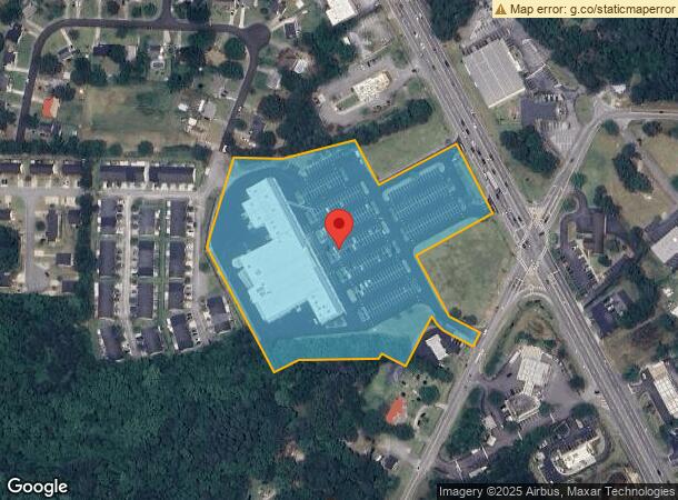
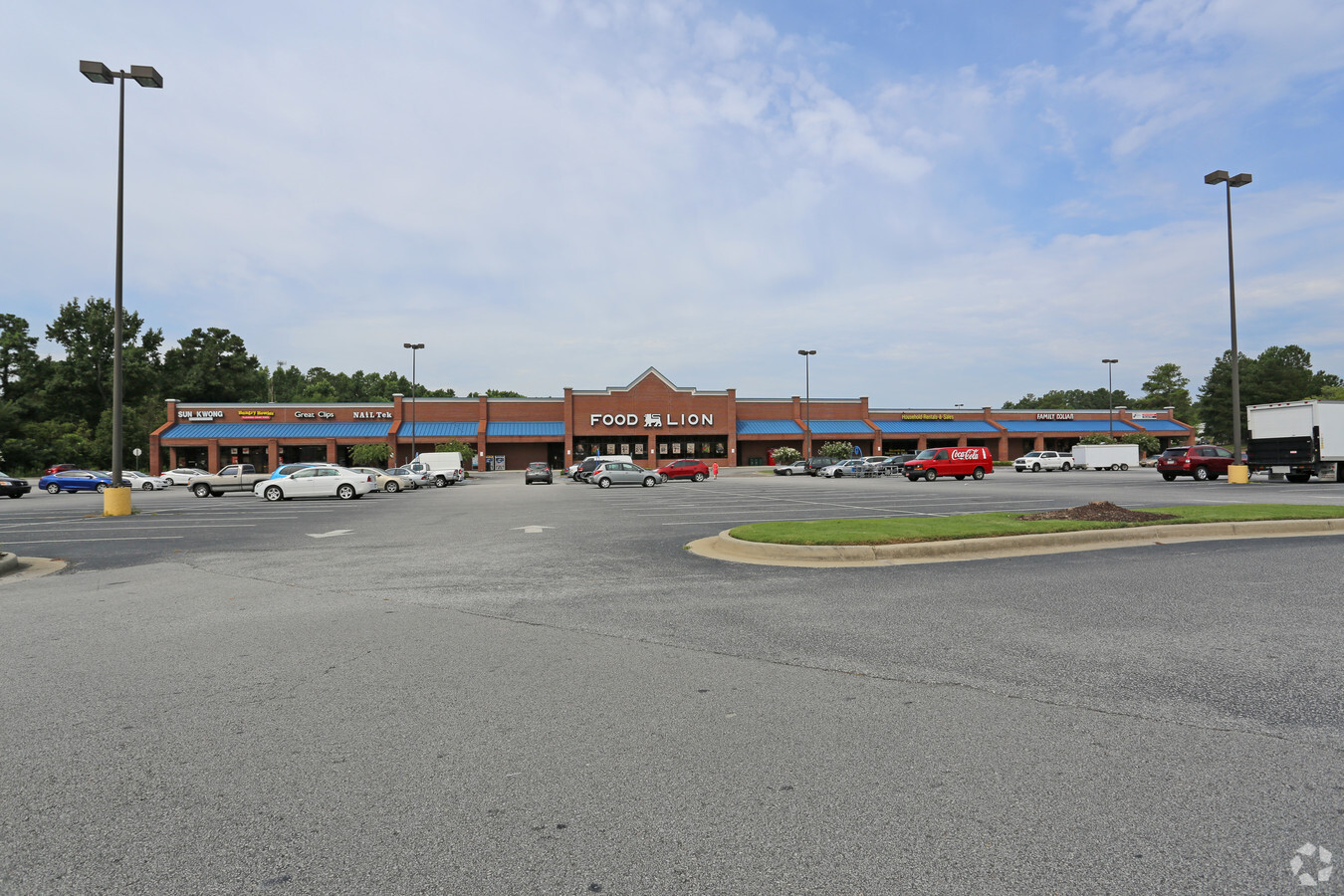
Property Record
369 S Belair Rd, Augusta, GA 30907
NEARBY LISTINGS FOR SALE OR LEASE
Property Detail
369 S Belair Rd
074C-111A
Belair Village Llc
Communitycenter
8.87 ACS
X
Columbia
13245C0085G
Georgia
2024
8.87 AC
2024
Evans/Martinez
030313
Augusta/Richmond County
57,464 SF
Augusta-Richmond County, GA-SC
DEMOGRAPHICS near 369 S Belair Rd
1 Mile
3 Mile
5 Mile
2024 Total Population
7,071
47,147
124,360
2029 Population
7,744
50,571
133,178
Pop Growth 2024-2029
+ 9.52%
+ 7.26%
+ 7.09%
Average Age
39
40
39
2024 Total Households
2,812
19,036
48,658
HH Growth 2024-2029
+ 8.68%
+ 6.22%
+ 6.12%
Median Household Inc
$59,073
$65,765
$70,487
Avg Household Size
2.50
2.40
2.50
2024 Avg HH Vehicles
2.00
2.00
2.00
Median Home Value
$154,887
$176,632
$207,634
Median Year Built
1986
1992
1992
Nearby Places
- Restaurants
- Banks
- Shops
- Fitness
- Groceries
PUBLIC TRANSPORTATION
AIRPORT
Augusta Regional at Bush Field
DRIVE
WALK
Distance
Augusta Regional at Bush Field
27 min
14.8 mi
Freight Ports
Georgia Ports - Savannah
DRIVE
WALK
Distance
Georgia Ports - Savannah
161 min
123.9 mi
SALE & LEASE HISTORY
LISTING DATE
SALE/LEASE

May 05, 2022
For Lease
Nearby Properties
Address
Land Use
TOTAL SIZE
Lot Size
Zoning
Address
Land Use
TOTAL SIZE
Lot Size
Zoning
371,617 SF
13.26 AC
B-2
Address
Land Use
TOTAL SIZE
Lot Size
Zoning
4,357 SF
34 AC
R-3B
Address
Land Use
TOTAL SIZE
Lot Size
Zoning
4,077 SF
20.88 AC
C-2;GEN CO
Address
Land Use
TOTAL SIZE
Lot Size
Zoning
5,480 SF
19.05 AC
R-3B
Address
Land Use
TOTAL SIZE
Lot Size
Zoning
3,498 SF
12.61 AC
B-2
Address
Land Use
TOTAL SIZE
Lot Size
Zoning
3,680 SF
13.42 AC
B-2
Address
Land Use
TOTAL SIZE
Lot Size
Zoning
2,665 SF
11.80 AC
B-2
Address
Land Use
TOTAL SIZE
Lot Size
Zoning
4,265 SF
44.47 AC
S1
Address
Land Use
TOTAL SIZE
Lot Size
Zoning
2,508 SF
14.61 AC
A-R;APARTM
Address
Land Use
TOTAL SIZE
Lot Size
Zoning
392 SF
19.66 AC
Address
Land Use
TOTAL SIZE
Lot Size
Zoning
199,464 SF
45.66 AC
Address
Land Use
TOTAL SIZE
Lot Size
Zoning
520,414 SF
40.73 AC
Address
Land Use
TOTAL SIZE
Lot Size
Zoning
150,263 SF
18.75 AC
PUD
Address
Land Use
TOTAL SIZE
Lot Size
Zoning
112,947 SF
14.91 AC
Address
Land Use
TOTAL SIZE
Lot Size
Zoning
11,584 SF
10.34 AC
R-3B
Address
Land Use
TOTAL SIZE
Lot Size
Zoning
226,626 SF
34.18 AC
B-2_A
Address
Land Use
TOTAL SIZE
Lot Size
Zoning
3,829 SF
35.30 AC
R-3B
Address
Land Use
TOTAL SIZE
Lot Size
Zoning
226,626 SF
34.18 AC
B-2_A
Address
Land Use
TOTAL SIZE
Lot Size
Zoning
2,725 SF
12.42 AC
B-2
Address
Land Use
TOTAL SIZE
Lot Size
Zoning
24,192 SF
5.36 AC
B-1
Address
Land Use
TOTAL SIZE
Lot Size
Zoning
640 SF
12.17 AC
B-1
Address
Land Use
TOTAL SIZE
Lot Size
Zoning
92,036 SF
40.88 AC
R-MH
Address
Land Use
TOTAL SIZE
Lot Size
Zoning
144,571 SF
7.20 AC
B-2
Address
Land Use
TOTAL SIZE
Lot Size
Zoning
3,313 SF
11.38 AC
B-2
Address
Land Use
TOTAL SIZE
Lot Size
Zoning
6,580 SF
50.62 AC
Address
Land Use
TOTAL SIZE
Lot Size
Zoning
75,000 SF
12.90 AC
Address
Land Use
TOTAL SIZE
Lot Size
Zoning
884 SF
5.84 AC
R-3B
Address
Land Use
TOTAL SIZE
Lot Size
Zoning
13,788 SF
62.74 AC
Address
Land Use
TOTAL SIZE
Lot Size
Zoning
26,752 SF
6.74 AC
R-3B
Address
Land Use
TOTAL SIZE
Lot Size
Zoning
62,440 SF
5.70 AC
B-2
The World's #1 Commercial Real Estate Marketplace
Connect with us
© 2025 CoStar Group
The information above has been obtained from sources believed reliable. While we do not doubt its accuracy we have not verified it and make no guarantee, warranty or representation about it. It is your responsibility to independently confirm its accuracy and completeness. Any projections, opinions, assumptions, or estimates used are for example only and do not represent the current or future performance of the property. The value of this transaction to you depends on tax and other factors which should be evaluated by your tax, financial, and legal advisors. You and your advisors should conduct a careful, independent investigation of the property to determine to your satisfaction the suitability of the property for your needs.