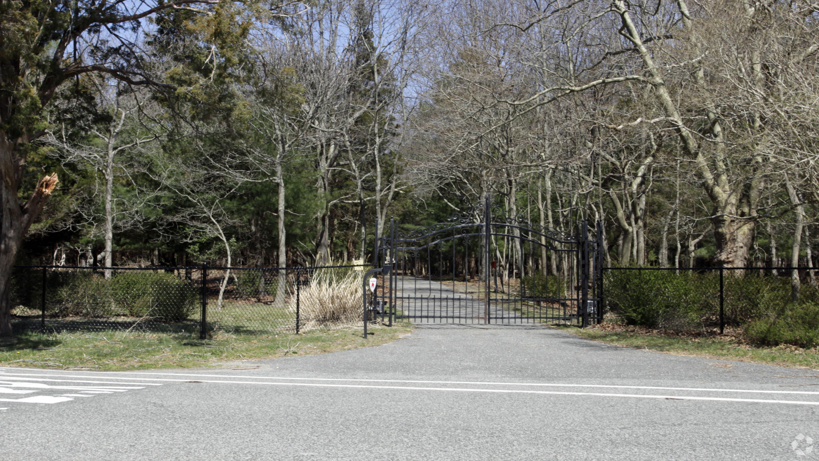
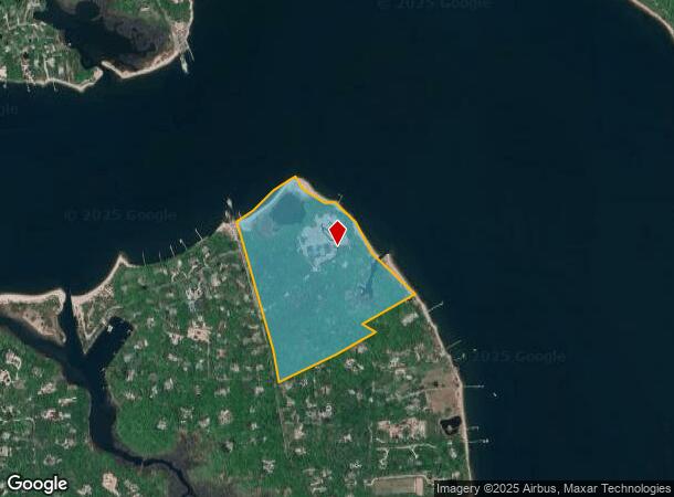
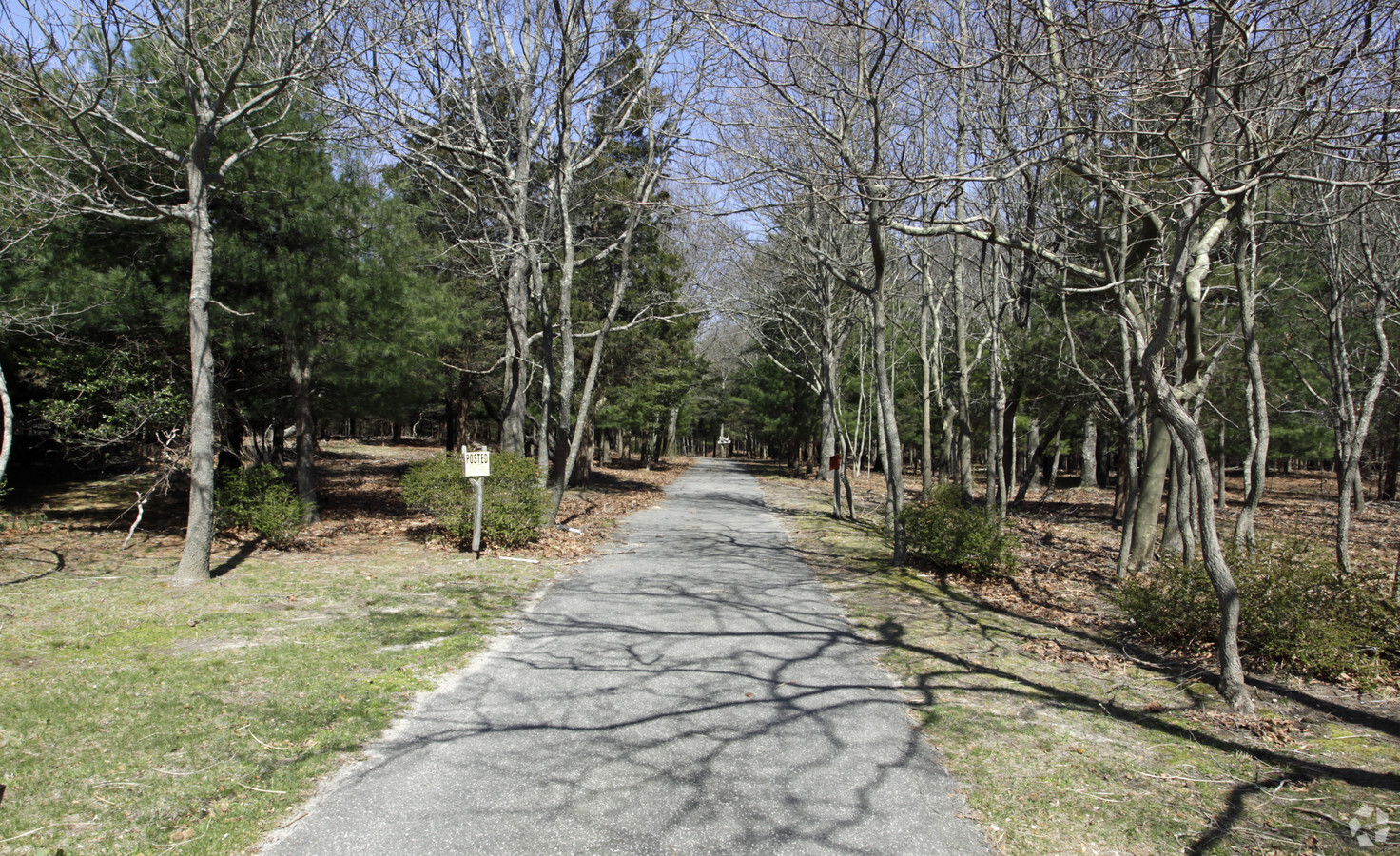
Property Record
370 Ferry Rd, Sag Harbor, NY 11963
NEARBY LISTINGS FOR SALE OR LEASE
-
-
View all Sag Harbor listings for sale on LoopNet.com
Property Detail
370 Ferry Rd
0901-001-00-02-00-002-000
N-SHELTER IS SD E-SHELTER IS SD S-HEDEMAN & ORS W-FERRY RD
Multifamilydwelling
Suffolk
AE
New York
36103C0191H
2
2023
52 AC
2023
Outlying Eastern Suffolk
190708
Long Island (New York)
14,865 SF
Nassau County-Suffolk County, NY
DEMOGRAPHICS near 370 Ferry Rd
1 Mile
3 Mile
5 Mile
2024 Total Population
604
5,384
17,369
2029 Population
637
5,524
17,963
Pop Growth 2024-2029
+ 5.46%
+ 2.60%
+ 3.42%
Average Age
47
48
47
2024 Total Households
238
2,295
7,343
HH Growth 2024-2029
+ 5.46%
+ 2.31%
+ 3.23%
Median Household Inc
$148,076
$122,815
$114,411
Avg Household Size
2.60
2.30
2.40
2024 Avg HH Vehicles
2.00
2.00
2.00
Median Home Value
$1,082,450
$971,853
$922,488
Median Year Built
1978
1975
1977
Nearby Places
- Restaurants
- Banks
- Shops
- Fitness
- Groceries
PUBLIC TRANSPORTATION
COMMUTER RAIL
Greenport Station (Greenport Branch - Long Island Rail Road)
DRIVE
WALK
Distance
Greenport Station (Greenport Branch - Long Island Rail Road)
43 min
7.0 mi
Freight Ports
Port of New Haven
DRIVE
WALK
Distance
Port of New Haven
197 min
88.4 mi
Nearby Properties
Address
Land Use
TOTAL SIZE
Lot Size
Zoning
Address
Land Use
TOTAL SIZE
Lot Size
Zoning
882 AC
H2O
Address
Land Use
TOTAL SIZE
Lot Size
Zoning
954 AC
AA
Address
Land Use
TOTAL SIZE
Lot Size
Zoning
600 AC
AA
Address
Land Use
TOTAL SIZE
Lot Size
Zoning
17,820 SF
5.96 AC
VILLA
Address
Land Use
TOTAL SIZE
Lot Size
Zoning
16,757 SF
319.50 AC
AA
Address
Land Use
TOTAL SIZE
Lot Size
Zoning
4,190 SF
7.28 AC
VILLA
Address
Land Use
TOTAL SIZE
Lot Size
Zoning
134.80 AC
CR200
Address
Land Use
TOTAL SIZE
Lot Size
Zoning
10,130 SF
2.56 AC
VILLA
Address
Land Use
TOTAL SIZE
Lot Size
Zoning
8,382 SF
4.38 AC
VILLA
Address
Land Use
TOTAL SIZE
Lot Size
Zoning
41,862 SF
2.64 AC
VILLA
Address
Land Use
TOTAL SIZE
Lot Size
Zoning
77,580 SF
8.33 AC
C
Address
Land Use
TOTAL SIZE
Lot Size
Zoning
5,695 SF
139.50 AC
AA
Address
Land Use
TOTAL SIZE
Lot Size
Zoning
3,988 SF
1.90 AC
VILLA
Address
Land Use
TOTAL SIZE
Lot Size
Zoning
4,889 SF
0.43 AC
VILLA
Address
Land Use
TOTAL SIZE
Lot Size
Zoning
9,190 SF
0.87 AC
VILLA
Address
Land Use
TOTAL SIZE
Lot Size
Zoning
170 AC
AA
Address
Land Use
TOTAL SIZE
Lot Size
Zoning
1.90 AC
VILLA
Address
Land Use
TOTAL SIZE
Lot Size
Zoning
28.20 AC
CR200
Address
Land Use
TOTAL SIZE
Lot Size
Zoning
15,000 SF
0.33 AC
VILLA
Address
Land Use
TOTAL SIZE
Lot Size
Zoning
0.38 AC
VILLA
Address
Land Use
TOTAL SIZE
Lot Size
Zoning
9,246 SF
0.58 AC
VILLA
Address
Land Use
TOTAL SIZE
Lot Size
Zoning
18,900 SF
4.10 AC
VILLA
Address
Land Use
TOTAL SIZE
Lot Size
Zoning
5.90 AC
VILLA
Address
Land Use
TOTAL SIZE
Lot Size
Zoning
3,128 SF
0.26 AC
VILLA
Address
Land Use
TOTAL SIZE
Lot Size
Zoning
5,423 SF
0.66 AC
VILLA
Address
Land Use
TOTAL SIZE
Lot Size
Zoning
0.71 AC
VILLA
Address
Land Use
TOTAL SIZE
Lot Size
Zoning
15,470 SF
4.30 AC
AA
Address
Land Use
TOTAL SIZE
Lot Size
Zoning
5,802 SF
2.66 AC
VILLA
Address
Land Use
TOTAL SIZE
Lot Size
Zoning
24.32 AC
VILLA
The World's #1 Commercial Real Estate Marketplace
Connect with us
© 2025 CoStar Group
The information above has been obtained from sources believed reliable. While we do not doubt its accuracy we have not verified it and make no guarantee, warranty or representation about it. It is your responsibility to independently confirm its accuracy and completeness. Any projections, opinions, assumptions, or estimates used are for example only and do not represent the current or future performance of the property. The value of this transaction to you depends on tax and other factors which should be evaluated by your tax, financial, and legal advisors. You and your advisors should conduct a careful, independent investigation of the property to determine to your satisfaction the suitability of the property for your needs.