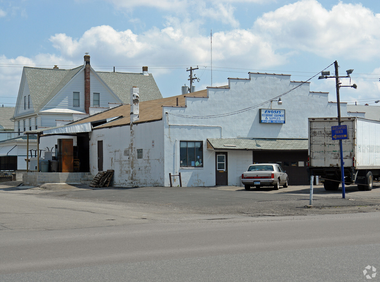
Property Record
371 S Poplar St, Hazleton, PA 18201


NEARBY LISTINGS FOR SALE OR LEASE
Property Detail
371 S Poplar St
Scranton--Wilkes-Barre--Hazelton, PA
Hazleton Heights
71-U8NW31-002-001-000
375 S POPLAR ST
Commercialnec
Luzerne
X
Pennsylvania
42079C0630E
1
2024
0.21 AC
2024
I-81 Corridor
217300
Philadelphia
DEMOGRAPHICS near 371 S Poplar St
1 Mile
3 Mile
5 Mile
2024 Total Population
10,279
41,100
50,254
2029 Population
10,174
40,784
49,846
Pop Growth 2024-2029
(1.02%)
(0.77%)
(0.81%)
Average Age
39
38
39
2024 Total Households
3,932
15,265
19,106
HH Growth 2024-2029
(1.07%)
(0.81%)
(0.84%)
Median Household Inc
$39,255
$44,134
$45,794
Avg Household Size
2.50
2.60
2.50
2024 Avg HH Vehicles
1.00
1.00
2.00
Median Home Value
$114,256
$115,079
$124,437
Median Year Built
1951
1951
1953
Nearby Places
- Restaurants
- Banks
- Shops
- Fitness
- Groceries
SALE & LEASE HISTORY
LISTING DATE
SALE/LEASE

Oct 10, 2018
For Lease
Oct 10, 2018
For Sale
Nearby Properties
Address
Land Use
TOTAL SIZE
Lot Size
Zoning
Address
Land Use
TOTAL SIZE
Lot Size
Zoning
30.99 AC
Address
Land Use
TOTAL SIZE
Lot Size
Zoning
48.47 AC
Address
Land Use
TOTAL SIZE
Lot Size
Zoning
59.39 AC
Address
Land Use
TOTAL SIZE
Lot Size
Zoning
9.14 AC
Address
Land Use
TOTAL SIZE
Lot Size
Zoning
8.29 AC
Address
Land Use
TOTAL SIZE
Lot Size
Zoning
9.67 AC
Address
Land Use
TOTAL SIZE
Lot Size
Zoning
19.82 AC
Address
Land Use
TOTAL SIZE
Lot Size
Zoning
10.83 AC
Address
Land Use
TOTAL SIZE
Lot Size
Zoning
Address
Land Use
TOTAL SIZE
Lot Size
Zoning
50 AC
Address
Land Use
TOTAL SIZE
Lot Size
Zoning
25.48 AC
Address
Land Use
TOTAL SIZE
Lot Size
Zoning
23.17 AC
Address
Land Use
TOTAL SIZE
Lot Size
Zoning
12.25 AC
Address
Land Use
TOTAL SIZE
Lot Size
Zoning
0.72 AC
Address
Land Use
TOTAL SIZE
Lot Size
Zoning
Address
Land Use
TOTAL SIZE
Lot Size
Zoning
4.11 AC
Address
Land Use
TOTAL SIZE
Lot Size
Zoning
0.34 AC
Address
Land Use
TOTAL SIZE
Lot Size
Zoning
33.40 AC
Address
Land Use
TOTAL SIZE
Lot Size
Zoning
2.70 AC
Address
Land Use
TOTAL SIZE
Lot Size
Zoning
Address
Land Use
TOTAL SIZE
Lot Size
Zoning
9.45 AC
Address
Land Use
TOTAL SIZE
Lot Size
Zoning
Address
Land Use
TOTAL SIZE
Lot Size
Zoning
0.91 AC
Address
Land Use
TOTAL SIZE
Lot Size
Zoning
13.86 AC
Address
Land Use
TOTAL SIZE
Lot Size
Zoning
15.31 AC
Address
Land Use
TOTAL SIZE
Lot Size
Zoning
25.89 AC
Address
Land Use
TOTAL SIZE
Lot Size
Zoning
0.91 AC
Address
Land Use
TOTAL SIZE
Lot Size
Zoning
30.07 AC
Address
Land Use
TOTAL SIZE
Lot Size
Zoning
1.44 AC
The World's #1 Commercial Real Estate Marketplace
Connect with us
© 2025 CoStar Group
The information above has been obtained from sources believed reliable. While we do not doubt its accuracy we have not verified it and make no guarantee, warranty or representation about it. It is your responsibility to independently confirm its accuracy and completeness. Any projections, opinions, assumptions, or estimates used are for example only and do not represent the current or future performance of the property. The value of this transaction to you depends on tax and other factors which should be evaluated by your tax, financial, and legal advisors. You and your advisors should conduct a careful, independent investigation of the property to determine to your satisfaction the suitability of the property for your needs.