Property Record
37705 Roys Point Blvd, Bayfield, WI 54814
NEARBY LISTINGS FOR SALE OR LEASE
-
-
View all Bayfield listings for sale on LoopNet.com
Property Detail
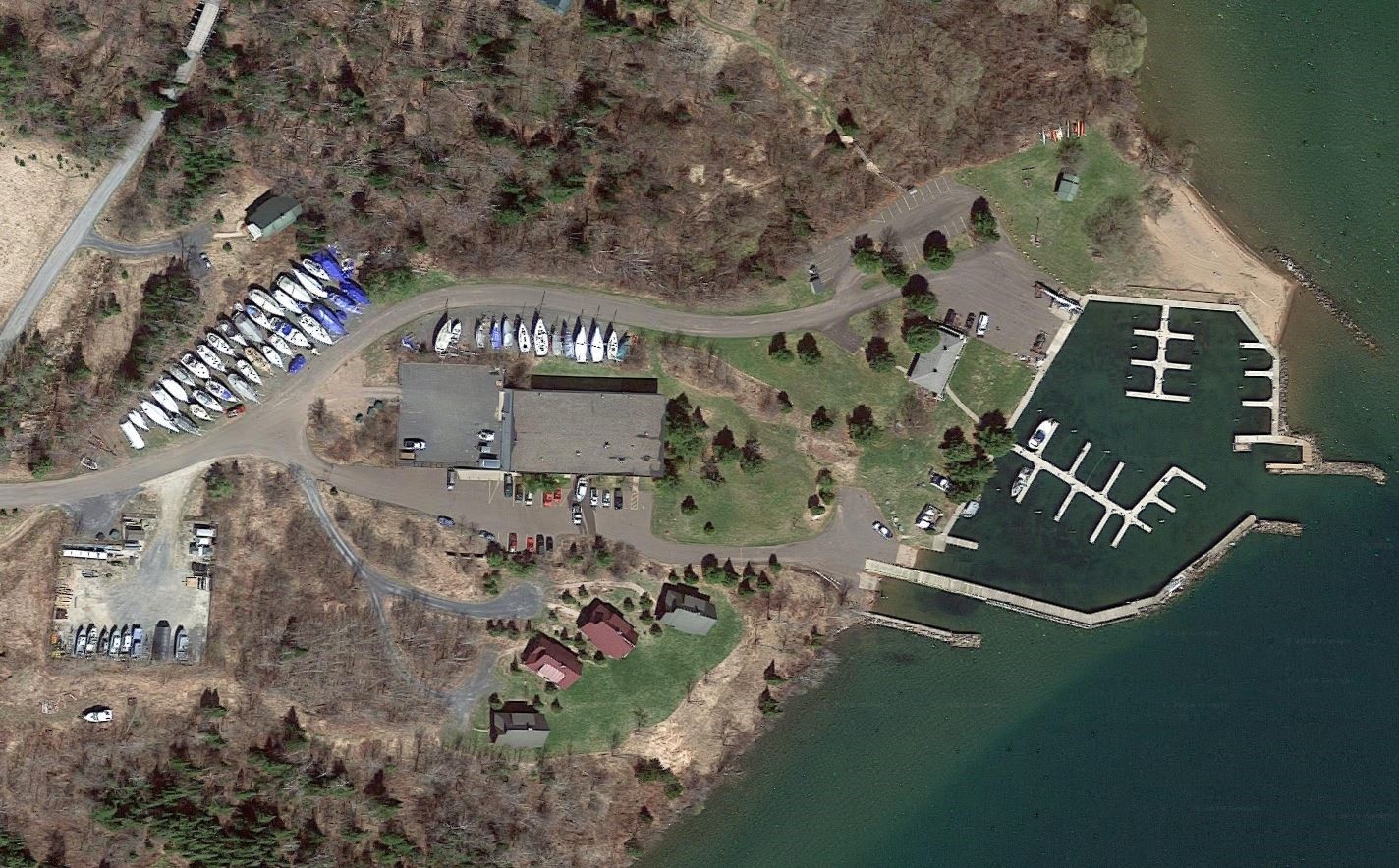
37705 Roys Point Blvd
04-006-2-50-03-06-2 05-002-43000
LOT 2 CSM #2078 IN V.12 P.165 (LOCATED IN GOVT LOT 2) IN DOC 2019R-578780
Commercialnec
Bayfield
X
Wisconsin
55007C0283D
2
2023
3.22 AC
2023
Wisconsin North Area
960100
Other Market Areas
DEMOGRAPHICS near 37705 Roys Point Blvd
1 Mile
3 Mile
5 Mile
2024 Total Population
183
1,768
2,468
2029 Population
190
1,822
2,541
Pop Growth 2024-2029
+ 3.83%
+ 3.05%
+ 2.96%
Average Age
38
41
43
2024 Total Households
69
724
1,059
HH Growth 2024-2029
+ 4.35%
+ 2.49%
+ 2.46%
Median Household Inc
$59,166
$63,091
$65,567
Avg Household Size
2.70
2.50
2.30
2024 Avg HH Vehicles
2.00
2.00
2.00
Median Home Value
$140,909
$169,230
$207,143
Median Year Built
1987
1984
1985
Nearby Places
- Restaurants
- Banks
- Shops
- Fitness
- Groceries
SALE & LEASE HISTORY
LISTING DATE
SALE/LEASE

Feb 20, 2019
For Sale
Nearby Properties
Address
Land Use
TOTAL SIZE
Lot Size
Zoning
Address
Land Use
TOTAL SIZE
Lot Size
Zoning
0.22 AC
Address
Land Use
TOTAL SIZE
Lot Size
Zoning
0.58 AC
Address
Land Use
TOTAL SIZE
Lot Size
Zoning
Address
Land Use
TOTAL SIZE
Lot Size
Zoning
0.54 AC
Address
Land Use
TOTAL SIZE
Lot Size
Zoning
0.09 AC
Address
Land Use
TOTAL SIZE
Lot Size
Zoning
0.33 AC
Address
Land Use
TOTAL SIZE
Lot Size
Zoning
Address
Land Use
TOTAL SIZE
Lot Size
Zoning
0.44 AC
Address
Land Use
TOTAL SIZE
Lot Size
Zoning
0.33 AC
RRB
Address
Land Use
TOTAL SIZE
Lot Size
Zoning
0.22 AC
Address
Land Use
TOTAL SIZE
Lot Size
Zoning
1.10 AC
RRB
Address
Land Use
TOTAL SIZE
Lot Size
Zoning
0.79 AC
RRB
Address
Land Use
TOTAL SIZE
Lot Size
Zoning
0.44 AC
Address
Land Use
TOTAL SIZE
Lot Size
Zoning
0.33 AC
Address
Land Use
TOTAL SIZE
Lot Size
Zoning
15 AC
A1
Address
Land Use
TOTAL SIZE
Lot Size
Zoning
0.22 AC
Address
Land Use
TOTAL SIZE
Lot Size
Zoning
0.30 AC
Address
Land Use
TOTAL SIZE
Lot Size
Zoning
Address
Land Use
TOTAL SIZE
Lot Size
Zoning
0.44 AC
Address
Land Use
TOTAL SIZE
Lot Size
Zoning
0.11 AC
Address
Land Use
TOTAL SIZE
Lot Size
Zoning
10 AC
RRB
Address
Land Use
TOTAL SIZE
Lot Size
Zoning
0.64 AC
Address
Land Use
TOTAL SIZE
Lot Size
Zoning
0.33 AC
Address
Land Use
TOTAL SIZE
Lot Size
Zoning
2.94 AC
RRB
Address
Land Use
TOTAL SIZE
Lot Size
Zoning
0.33 AC
Address
Land Use
TOTAL SIZE
Lot Size
Zoning
0.11 AC
Address
Land Use
TOTAL SIZE
Lot Size
Zoning
0.44 AC
Address
Land Use
TOTAL SIZE
Lot Size
Zoning
1.58 AC
RRB
Address
Land Use
TOTAL SIZE
Lot Size
Zoning
0.11 AC
The World's #1 Commercial Real Estate Marketplace
Connect with us
© 2025 CoStar Group
The information above has been obtained from sources believed reliable. While we do not doubt its accuracy we have not verified it and make no guarantee, warranty or representation about it. It is your responsibility to independently confirm its accuracy and completeness. Any projections, opinions, assumptions, or estimates used are for example only and do not represent the current or future performance of the property. The value of this transaction to you depends on tax and other factors which should be evaluated by your tax, financial, and legal advisors. You and your advisors should conduct a careful, independent investigation of the property to determine to your satisfaction the suitability of the property for your needs.