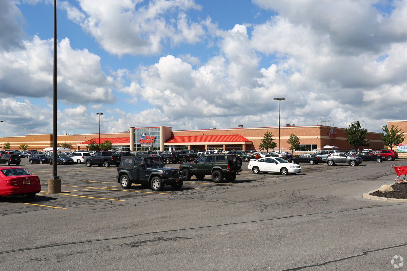
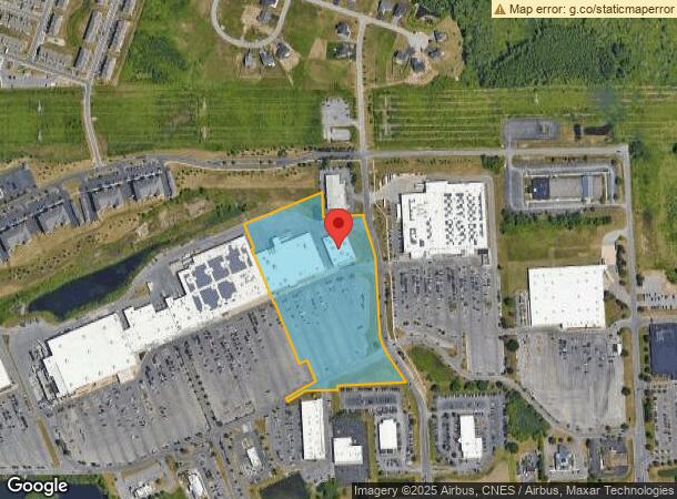
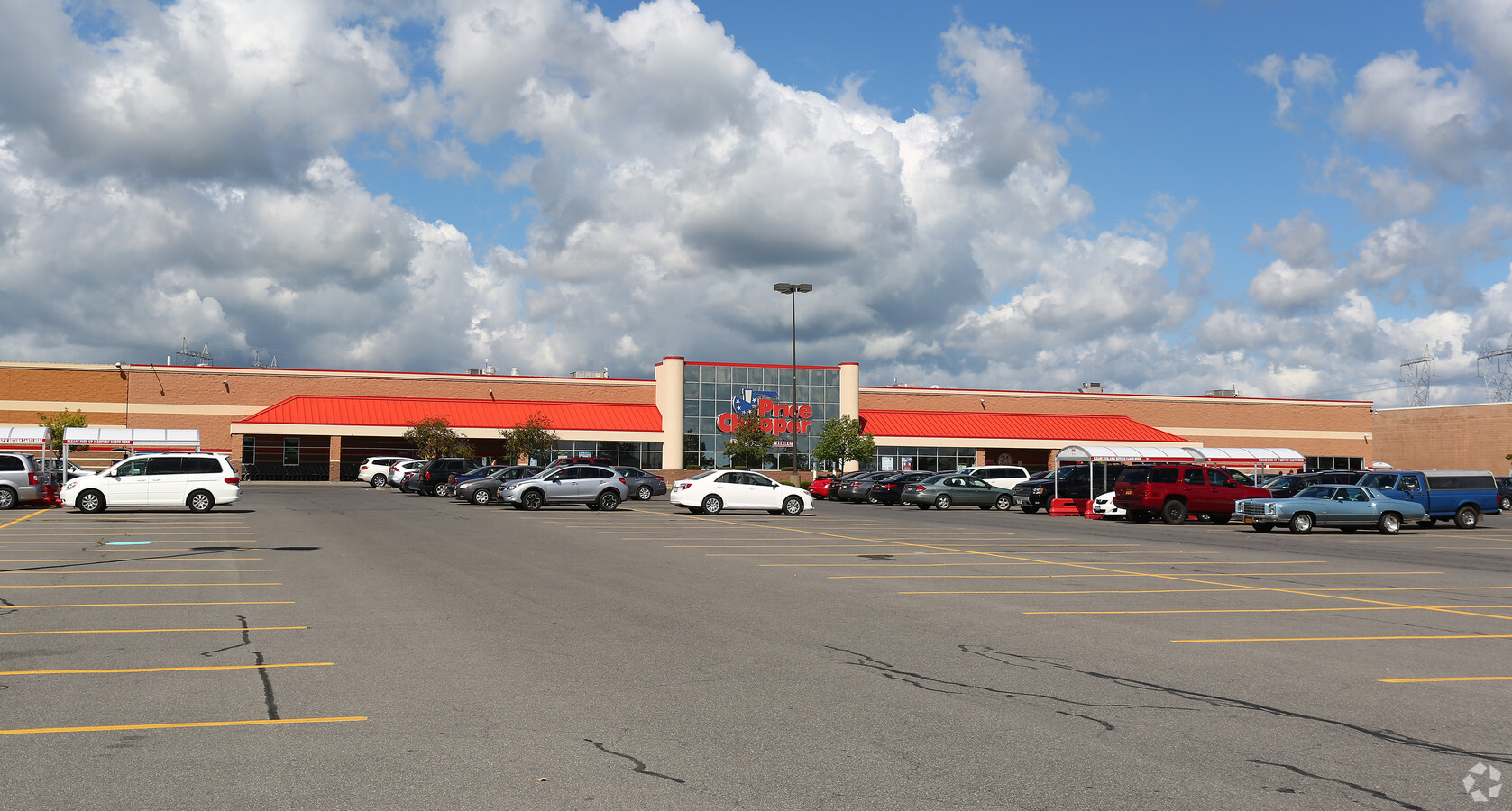
Property Record
3863 State Route 31, Liverpool, NY 13090
NEARBY LISTINGS FOR SALE OR LEASE
Property Detail
3863 State Route 31
312489-021-000-0001-003-007-0000
Onondaga
Supermarket
New York
X
3.007
36067C0078F
11.25 AC
2024
NE Outer Onondaga County
2023
Syracuse
011300
Syracuse, NY
68,500 SF
DEMOGRAPHICS near 3863 State Route 31
1 Mile
3 Mile
5 Mile
2024 Total Population
3,820
28,277
63,302
2029 Population
3,760
27,559
61,755
Pop Growth 2024-2029
(1.57%)
(2.54%)
(2.44%)
Average Age
41
42
42
2024 Total Households
1,729
11,548
26,082
HH Growth 2024-2029
(1.74%)
(2.74%)
(2.63%)
Median Household Inc
$77,998
$83,514
$80,534
Avg Household Size
2.10
2.40
2.40
2024 Avg HH Vehicles
2.00
2.00
2.00
Median Home Value
$217,574
$196,124
$185,653
Median Year Built
1995
1984
1979
Nearby Places
- Restaurants
- Banks
- Shops
- Fitness
- Groceries
PUBLIC TRANSPORTATION
AIRPORT
Syracuse Hancock International
DRIVE
WALK
Distance
Syracuse Hancock International
18 min
11.6 mi
Freight Ports
Albany, NY Port
DRIVE
WALK
Distance
Albany, NY Port
181 min
151.7 mi
Nearby Properties
Address
Land Use
TOTAL SIZE
Lot Size
Zoning
Address
Land Use
TOTAL SIZE
Lot Size
Zoning
99,442 SF
11.75 AC
PUD
Address
Land Use
TOTAL SIZE
Lot Size
Zoning
28,800 SF
6.86 AC
R40
Address
Land Use
TOTAL SIZE
Lot Size
Zoning
61,204 SF
6.47 AC
PUD
Address
Land Use
TOTAL SIZE
Lot Size
Zoning
6,983 SF
9.21 AC
PUD
Address
Land Use
TOTAL SIZE
Lot Size
Zoning
2,520 SF
16.28 AC
FED
Address
Land Use
TOTAL SIZE
Lot Size
Zoning
34,535 SF
5 AC
PUD
Address
Land Use
TOTAL SIZE
Lot Size
Zoning
10,330 SF
241.94 AC
PUD
Address
Land Use
TOTAL SIZE
Lot Size
Zoning
9,198 SF
6.59 AC
PUD
Address
Land Use
TOTAL SIZE
Lot Size
Zoning
2,920 SF
13.70 AC
PUD
Address
Land Use
TOTAL SIZE
Lot Size
Zoning
7 AC
I
Address
Land Use
TOTAL SIZE
Lot Size
Zoning
18,524 SF
2.76 AC
PUD
Address
Land Use
TOTAL SIZE
Lot Size
Zoning
65,320 SF
12.97 AC
C-1
Address
Land Use
TOTAL SIZE
Lot Size
Zoning
3,776 SF
1.50 AC
MR
Address
Land Use
TOTAL SIZE
Lot Size
Zoning
12,312 SF
40.32 AC
05 - COMME
Address
Land Use
TOTAL SIZE
Lot Size
Zoning
6,880 SF
2.03 AC
C-1
Address
Land Use
TOTAL SIZE
Lot Size
Zoning
62,496 SF
26.34 AC
04 - FARM
Address
Land Use
TOTAL SIZE
Lot Size
Zoning
11,504 SF
2 AC
R40
Address
Land Use
TOTAL SIZE
Lot Size
Zoning
5,736 SF
1.08 AC
PUD
Address
Land Use
TOTAL SIZE
Lot Size
Zoning
1,800 SF
1.22 AC
PUD
Address
Land Use
TOTAL SIZE
Lot Size
Zoning
7,780 SF
1.19 AC
PUD
Address
Land Use
TOTAL SIZE
Lot Size
Zoning
12.90 AC
R-1
Address
Land Use
TOTAL SIZE
Lot Size
Zoning
4,472 SF
1.84 AC
RS
Address
Land Use
TOTAL SIZE
Lot Size
Zoning
3,519 SF
1.90 AC
RS
Address
Land Use
TOTAL SIZE
Lot Size
Zoning
74,012 SF
58.67 AC
04 - FARM
Address
Land Use
TOTAL SIZE
Lot Size
Zoning
7,350 SF
128.54 AC
02 - SINGL
Address
Land Use
TOTAL SIZE
Lot Size
Zoning
4,346 SF
1.09 AC
PUD
Address
Land Use
TOTAL SIZE
Lot Size
Zoning
1,800 SF
24 AC
I
Address
Land Use
TOTAL SIZE
Lot Size
Zoning
183,715 SF
18.21 AC
05 - COMME
Address
Land Use
TOTAL SIZE
Lot Size
Zoning
12,500 SF
6.65 AC
C-1
Address
Land Use
TOTAL SIZE
Lot Size
Zoning
75,000 SF
14.90 AC
04
The World's #1 Commercial Real Estate Marketplace
Connect with us
© 2025 CoStar Group
The information above has been obtained from sources believed reliable. While we do not doubt its accuracy we have not verified it and make no guarantee, warranty or representation about it. It is your responsibility to independently confirm its accuracy and completeness. Any projections, opinions, assumptions, or estimates used are for example only and do not represent the current or future performance of the property. The value of this transaction to you depends on tax and other factors which should be evaluated by your tax, financial, and legal advisors. You and your advisors should conduct a careful, independent investigation of the property to determine to your satisfaction the suitability of the property for your needs.