Property Record
3901 S Miami Blvd, Durham, NC 27703
NEARBY LISTINGS FOR SALE OR LEASE
Property Detail
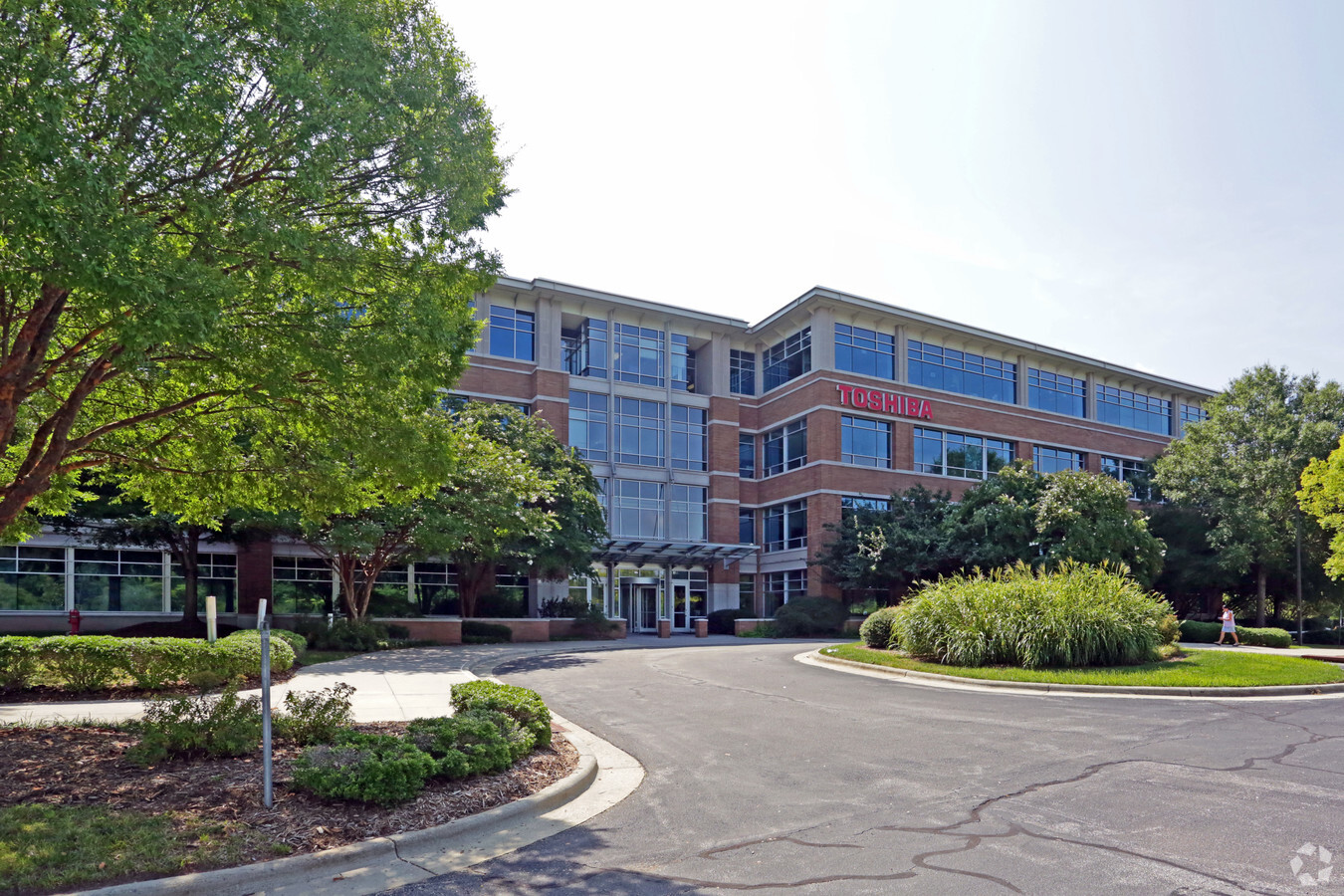
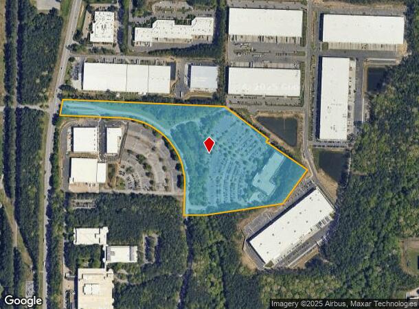
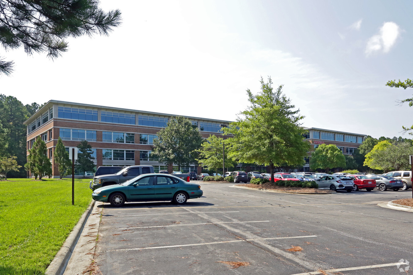
3901 S Miami Blvd
157345
Ravenwood
Officebuilding
PROP-IBM/TR#01 DBA/TOSHIBA PL:000143-000123
AE
Durham
3720074800K
North Carolina
2023
24.17 AC
2024
Research Triangle
0020281045
Raleigh/Durham
219,249 SF
Durham-Chapel Hill, NC
DEMOGRAPHICS near 3901 S Miami Blvd
1 Mile
3 Mile
5 Mile
2024 Total Population
1,164
38,039
120,493
2029 Population
1,258
40,913
127,821
Pop Growth 2024-2029
+ 8.08%
+ 7.56%
+ 6.08%
Average Age
42
37
38
2024 Total Households
539
18,316
53,100
HH Growth 2024-2029
+ 8.16%
+ 7.70%
+ 6.28%
Median Household Inc
$90,056
$88,378
$88,092
Avg Household Size
2.20
2.10
2.20
2024 Avg HH Vehicles
2.00
2.00
2.00
Median Home Value
$430,285
$362,096
$334,976
Median Year Built
2011
2010
2006
Nearby Places
- Restaurants
- Banks
- Shops
- Fitness
- Groceries
PUBLIC TRANSPORTATION
COMMUTER RAIL
Durham Amtrak Station (Carolinian - Amtrak, Piedmont - Amtrak)
DRIVE
WALK
Distance
Durham Amtrak Station (Carolinian - Amtrak, Piedmont - Amtrak)
15 min
8.6 mi
AIRPORT
Raleigh-Durham International
DRIVE
WALK
Distance
Raleigh-Durham International
14 min
6.7 mi
Freight Ports
Port of Wilmington
DRIVE
WALK
Distance
Port of Wilmington
174 min
150.8 mi
Nearby Properties
Address
Land Use
TOTAL SIZE
Lot Size
Zoning
Address
Land Use
TOTAL SIZE
Lot Size
Zoning
1,689,894 SF
61.68 AC
SRP
Address
Land Use
TOTAL SIZE
Lot Size
Zoning
1,378,965 SF
183.46 AC
SRP
Address
Land Use
TOTAL SIZE
Lot Size
Zoning
660,480 SF
111.74 AC
SRP
Address
Land Use
TOTAL SIZE
Lot Size
Zoning
1,272,163 SF
117.61 AC
OI,SRP
Address
Land Use
TOTAL SIZE
Lot Size
Zoning
2,436,024 SF
396.87 AC
SRP
Address
Land Use
TOTAL SIZE
Lot Size
Zoning
868,283 SF
56.23 AC
SRP
Address
Land Use
TOTAL SIZE
Lot Size
Zoning
507,119 SF
118.85 AC
SRP
Address
Land Use
TOTAL SIZE
Lot Size
Zoning
298,457 SF
35.55 AC
RAC
Address
Land Use
TOTAL SIZE
Lot Size
Zoning
407,178 SF
22.57 AC
PD
Address
Land Use
TOTAL SIZE
Lot Size
Zoning
278,044 SF
17.79 AC
RX-3
Address
Land Use
TOTAL SIZE
Lot Size
Zoning
370,540 SF
20.79 AC
PD
Address
Land Use
TOTAL SIZE
Lot Size
Zoning
559,179 SF
6.97 AC
IP
Address
Land Use
TOTAL SIZE
Lot Size
Zoning
508,100 SF
500.24 AC
SRP
Address
Land Use
TOTAL SIZE
Lot Size
Zoning
319,275 SF
50.52 AC
SRP
Address
Land Use
TOTAL SIZE
Lot Size
Zoning
799,818 SF
84.58 AC
IL
Address
Land Use
TOTAL SIZE
Lot Size
Zoning
296,141 SF
14.38 AC
PD
Address
Land Use
TOTAL SIZE
Lot Size
Zoning
1,096,410 SF
60.32 AC
SRP
Address
Land Use
TOTAL SIZE
Lot Size
Zoning
303,212 SF
20.94 AC
RX-4
Address
Land Use
TOTAL SIZE
Lot Size
Zoning
444,254 SF
58.71 AC
SRP
Address
Land Use
TOTAL SIZE
Lot Size
Zoning
168,660 SF
15.49 AC
CG(D)
Address
Land Use
TOTAL SIZE
Lot Size
Zoning
2,922 SF
30.57 AC
PDR 4.840
Address
Land Use
TOTAL SIZE
Lot Size
Zoning
449,992 SF
25.16 AC
IP
Address
Land Use
TOTAL SIZE
Lot Size
Zoning
197,578 SF
9.33 AC
CX-5
Address
Land Use
TOTAL SIZE
Lot Size
Zoning
122,544 SF
8.04 AC
MU(D)
Address
Land Use
TOTAL SIZE
Lot Size
Zoning
268,855 SF
20.32 AC
RX-3
Address
Land Use
TOTAL SIZE
Lot Size
Zoning
201,600 SF
14.33 AC
OI
Address
Land Use
TOTAL SIZE
Lot Size
Zoning
11,670 SF
41.27 AC
RS-M(D)
Address
Land Use
TOTAL SIZE
Lot Size
Zoning
8,418 SF
22.17 AC
MU(D)
Address
Land Use
TOTAL SIZE
Lot Size
Zoning
491,701 SF
124.48 AC
SRP
Address
Land Use
TOTAL SIZE
Lot Size
Zoning
29.13 AC
CG(D)
The World's #1 Commercial Real Estate Marketplace
Connect with us
© 2025 CoStar Group
The information above has been obtained from sources believed reliable. While we do not doubt its accuracy we have not verified it and make no guarantee, warranty or representation about it. It is your responsibility to independently confirm its accuracy and completeness. Any projections, opinions, assumptions, or estimates used are for example only and do not represent the current or future performance of the property. The value of this transaction to you depends on tax and other factors which should be evaluated by your tax, financial, and legal advisors. You and your advisors should conduct a careful, independent investigation of the property to determine to your satisfaction the suitability of the property for your needs.