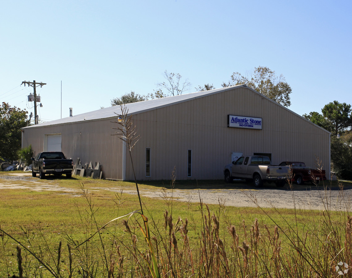
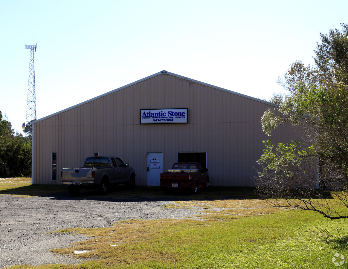
Property Record
3915 Savannah Hwy, Johns Island, SC 29455
NEARBY LISTINGS FOR SALE OR LEASE
Property Detail
3915 Savannah Hwy
285-00-00-085
Red Top
Commercialnec
LEGAL DESCRIPTION SUBDIVISION NAME -RED TOP DESCRIPTION -TRACT A SITE NAME -CAROLINA GARDEN AND TU RF PLATSUFFIX EB-342 POLTW
AE
Charleston
45019C0470K
South Carolina
2024
2.70 AC
2023
West Ashley
005602
Charleston/N Charleston
6,000 SF
Charleston-North Charleston, SC
DEMOGRAPHICS near 3915 Savannah Hwy
1 Mile
3 Mile
5 Mile
2024 Total Population
1,288
15,830
42,756
2029 Population
1,394
16,881
45,496
Pop Growth 2024-2029
+ 8.23%
+ 6.64%
+ 6.41%
Average Age
38
39
40
2024 Total Households
511
6,641
18,047
HH Growth 2024-2029
+ 7.83%
+ 6.32%
+ 6.16%
Median Household Inc
$83,129
$86,195
$87,132
Avg Household Size
2.50
2.40
2.30
2024 Avg HH Vehicles
2.00
2.00
2.00
Median Home Value
$376,542
$354,317
$342,819
Median Year Built
2010
2008
2002
Nearby Places
- Restaurants
- Banks
- Shops
- Fitness
- Groceries
PUBLIC TRANSPORTATION
AIRPORT
Charleston AFB/International
DRIVE
WALK
Distance
Charleston AFB/International
24 min
15.5 mi
Freight Ports
Veterans Terminal
DRIVE
WALK
Distance
Veterans Terminal
23 min
13.6 mi
Nearby Properties
Address
Land Use
TOTAL SIZE
Lot Size
Zoning
Address
Land Use
TOTAL SIZE
Lot Size
Zoning
17,550 SF
24.36 AC
Address
Land Use
TOTAL SIZE
Lot Size
Zoning
4,500 SF
14.81 AC
Address
Land Use
TOTAL SIZE
Lot Size
Zoning
Address
Land Use
TOTAL SIZE
Lot Size
Zoning
7,492 SF
9.54 AC
Address
Land Use
TOTAL SIZE
Lot Size
Zoning
5,632 SF
16.98 AC
Address
Land Use
TOTAL SIZE
Lot Size
Zoning
7,900 SF
16.38 AC
Address
Land Use
TOTAL SIZE
Lot Size
Zoning
22,578 SF
23.54 AC
Address
Land Use
TOTAL SIZE
Lot Size
Zoning
1,800 SF
0.83 AC
Address
Land Use
TOTAL SIZE
Lot Size
Zoning
Address
Land Use
TOTAL SIZE
Lot Size
Zoning
3.40 AC
Address
Land Use
TOTAL SIZE
Lot Size
Zoning
1,342 SF
7.76 AC
Address
Land Use
TOTAL SIZE
Lot Size
Zoning
945.30 AC
Address
Land Use
TOTAL SIZE
Lot Size
Zoning
3,270 SF
5.50 AC
Address
Land Use
TOTAL SIZE
Lot Size
Zoning
69.97 AC
Address
Land Use
TOTAL SIZE
Lot Size
Zoning
39,520 SF
9.62 AC
Address
Land Use
TOTAL SIZE
Lot Size
Zoning
Address
Land Use
TOTAL SIZE
Lot Size
Zoning
42,409 SF
5.76 AC
Address
Land Use
TOTAL SIZE
Lot Size
Zoning
Address
Land Use
TOTAL SIZE
Lot Size
Zoning
14,472 SF
1.90 AC
Address
Land Use
TOTAL SIZE
Lot Size
Zoning
5,025 SF
1,070.16 AC
PDARHOD_DC
Address
Land Use
TOTAL SIZE
Lot Size
Zoning
49,853 SF
15.75 AC
Address
Land Use
TOTAL SIZE
Lot Size
Zoning
12,500 SF
4.11 AC
Address
Land Use
TOTAL SIZE
Lot Size
Zoning
16.01 AC
Address
Land Use
TOTAL SIZE
Lot Size
Zoning
65,659 SF
2.75 AC
Address
Land Use
TOTAL SIZE
Lot Size
Zoning
Address
Land Use
TOTAL SIZE
Lot Size
Zoning
12,000 SF
16.45 AC
Address
Land Use
TOTAL SIZE
Lot Size
Zoning
1,620 SF
0.50 AC
Address
Land Use
TOTAL SIZE
Lot Size
Zoning
15,159 SF
2.89 AC
Address
Land Use
TOTAL SIZE
Lot Size
Zoning
Address
Land Use
TOTAL SIZE
Lot Size
Zoning
4,000 SF
151.36 AC
The World's #1 Commercial Real Estate Marketplace
Connect with us
© 2025 CoStar Group
The information above has been obtained from sources believed reliable. While we do not doubt its accuracy we have not verified it and make no guarantee, warranty or representation about it. It is your responsibility to independently confirm its accuracy and completeness. Any projections, opinions, assumptions, or estimates used are for example only and do not represent the current or future performance of the property. The value of this transaction to you depends on tax and other factors which should be evaluated by your tax, financial, and legal advisors. You and your advisors should conduct a careful, independent investigation of the property to determine to your satisfaction the suitability of the property for your needs.