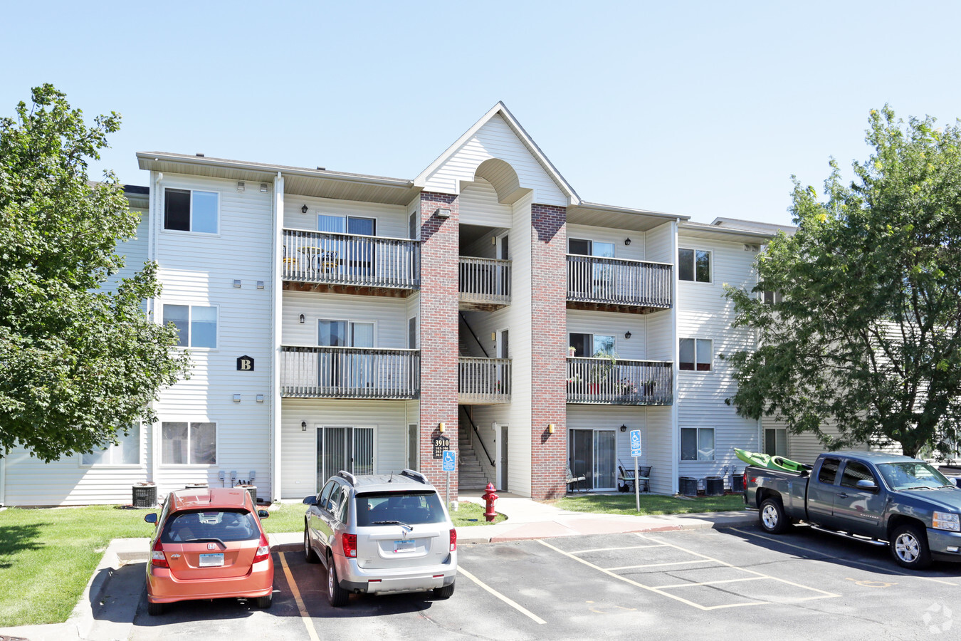
Property Record
3910 Highway 151, Marion, IA 52302


NEARBY LISTINGS FOR SALE OR LEASE
Property Detail
3910 Highway 151
Cedar Rapids, IA
Willowood Commercial
10324-53010-00000
WILLOWOOD COMMERCIAL EX W90 LOT 4
Multifamilydwelling
Linn
X
Iowa
19113C0312F
4
2022
2.92 AC
2023
Iowa City/Waterloo
000102
Other Market Areas
5,190 SF
DEMOGRAPHICS near 3910 Highway 151
1 Mile
3 Mile
5 Mile
2024 Total Population
9,333
40,248
79,137
2029 Population
9,247
40,035
78,728
Pop Growth 2024-2029
(0.92%)
(0.53%)
(0.52%)
Average Age
42
41
41
2024 Total Households
3,781
16,640
33,170
HH Growth 2024-2029
(1.01%)
(0.55%)
(0.56%)
Median Household Inc
$76,678
$71,951
$72,106
Avg Household Size
2.40
2.40
2.30
2024 Avg HH Vehicles
2.00
2.00
2.00
Median Home Value
$178,222
$200,119
$196,955
Median Year Built
1990
1988
1979
Nearby Places
- Restaurants
- Banks
- Shops
- Fitness
- Groceries
PUBLIC TRANSPORTATION
AIRPORT
The Eastern Iowa
DRIVE
WALK
Distance
The Eastern Iowa
31 min
21.3 mi
Freight Ports
Port Milwaukee
DRIVE
WALK
Distance
Port Milwaukee
281 min
237.7 mi
Nearby Properties
Address
Land Use
TOTAL SIZE
Lot Size
Zoning
Address
Land Use
TOTAL SIZE
Lot Size
Zoning
3,713,003 SF
3,585.68 AC
Address
Land Use
TOTAL SIZE
Lot Size
Zoning
585,444 SF
95.41 AC
Address
Land Use
TOTAL SIZE
Lot Size
Zoning
70,022 SF
8.27 AC
Address
Land Use
TOTAL SIZE
Lot Size
Zoning
980,058 SF
107.75 AC
Address
Land Use
TOTAL SIZE
Lot Size
Zoning
73,578 SF
8.13 AC
Address
Land Use
TOTAL SIZE
Lot Size
Zoning
203,166 SF
14.16 AC
Address
Land Use
TOTAL SIZE
Lot Size
Zoning
155,200 SF
32.40 AC
Address
Land Use
TOTAL SIZE
Lot Size
Zoning
149,826 SF
45 AC
Address
Land Use
TOTAL SIZE
Lot Size
Zoning
50,344 SF
2.92 AC
Address
Land Use
TOTAL SIZE
Lot Size
Zoning
1,100 SF
21.54 AC
Address
Land Use
TOTAL SIZE
Lot Size
Zoning
218,390 SF
50.24 AC
Address
Land Use
TOTAL SIZE
Lot Size
Zoning
14.38 AC
Address
Land Use
TOTAL SIZE
Lot Size
Zoning
106,317 SF
4.42 AC
Address
Land Use
TOTAL SIZE
Lot Size
Zoning
155,200 SF
28.66 AC
Address
Land Use
TOTAL SIZE
Lot Size
Zoning
94,534 SF
12.03 AC
Address
Land Use
TOTAL SIZE
Lot Size
Zoning
36,564 SF
4.22 AC
Address
Land Use
TOTAL SIZE
Lot Size
Zoning
1,007,977 SF
323.91 AC
Address
Land Use
TOTAL SIZE
Lot Size
Zoning
1,440 SF
82.59 AC
Address
Land Use
TOTAL SIZE
Lot Size
Zoning
92,704 SF
10.30 AC
Address
Land Use
TOTAL SIZE
Lot Size
Zoning
82,077 SF
9.03 AC
Address
Land Use
TOTAL SIZE
Lot Size
Zoning
654,894 SF
120.69 AC
Address
Land Use
TOTAL SIZE
Lot Size
Zoning
204,041 SF
48.90 AC
Address
Land Use
TOTAL SIZE
Lot Size
Zoning
178,650 SF
19.02 AC
Address
Land Use
TOTAL SIZE
Lot Size
Zoning
Address
Land Use
TOTAL SIZE
Lot Size
Zoning
24,937 SF
0.74 AC
Address
Land Use
TOTAL SIZE
Lot Size
Zoning
202,224 SF
81.20 AC
Address
Land Use
TOTAL SIZE
Lot Size
Zoning
202,224 SF
102.24 AC
Address
Land Use
TOTAL SIZE
Lot Size
Zoning
1,728 SF
64.65 AC
Address
Land Use
TOTAL SIZE
Lot Size
Zoning
3,960 SF
5.58 AC
Address
Land Use
TOTAL SIZE
Lot Size
Zoning
110,746 SF
8.72 AC
The World's #1 Commercial Real Estate Marketplace
Connect with us
© 2025 CoStar Group
The information above has been obtained from sources believed reliable. While we do not doubt its accuracy we have not verified it and make no guarantee, warranty or representation about it. It is your responsibility to independently confirm its accuracy and completeness. Any projections, opinions, assumptions, or estimates used are for example only and do not represent the current or future performance of the property. The value of this transaction to you depends on tax and other factors which should be evaluated by your tax, financial, and legal advisors. You and your advisors should conduct a careful, independent investigation of the property to determine to your satisfaction the suitability of the property for your needs.