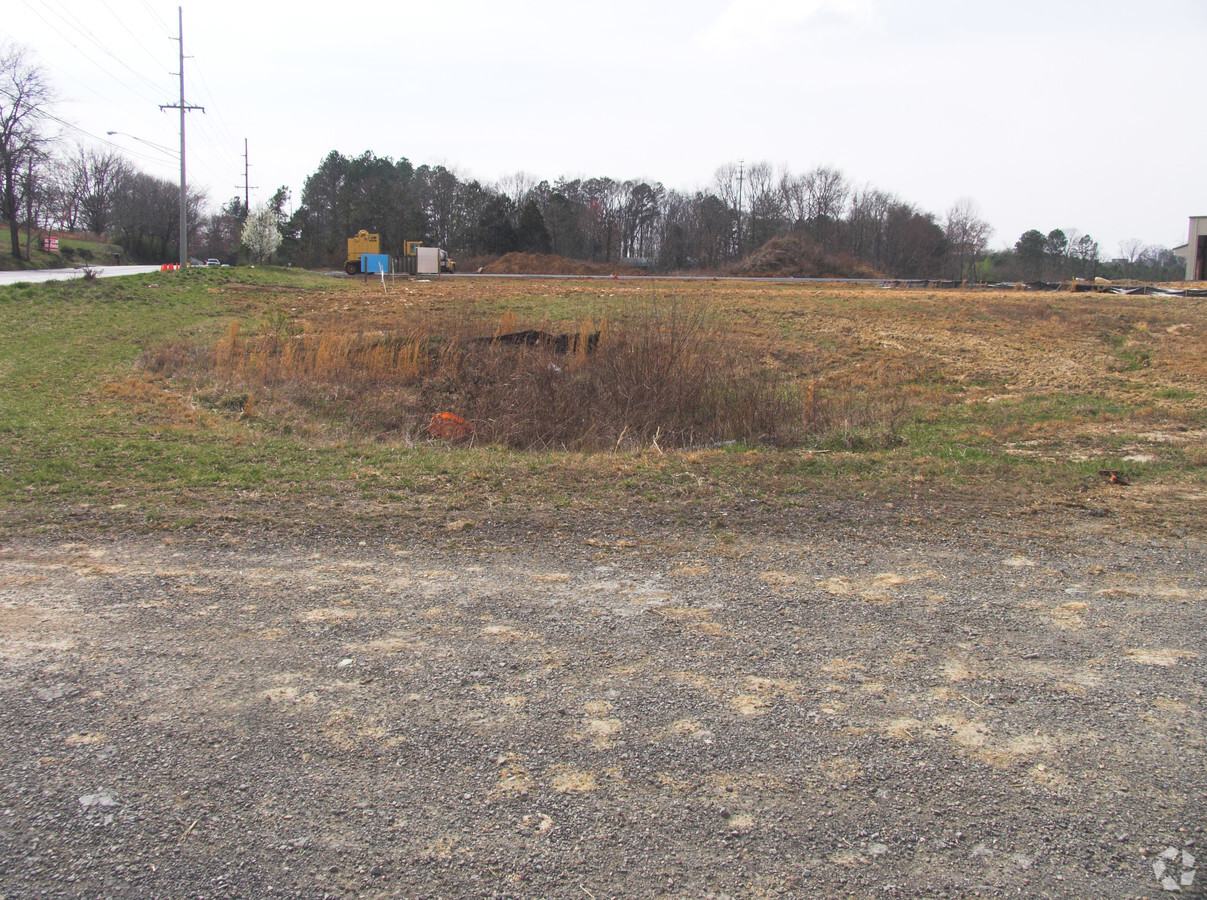
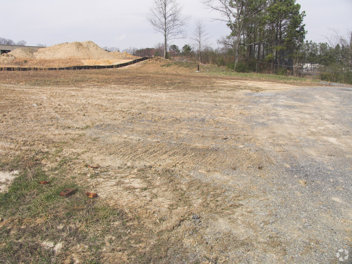
Property Record
3939 Michigan Avenue Rd Ne, Cleveland, TN 37323
NEARBY LISTINGS FOR SALE OR LEASE
Property Detail
3939 Michigan Avenue Rd Ne
Cleveland, TN
Bradley
043-031.01
Tennessee
Industrialgeneral
10.50 AC
X
Tennessee East Area
47011C0129E
Other Market Areas
53,400 SF
DEMOGRAPHICS near 3939 Michigan Avenue Rd Ne
1 Mile
3 Mile
5 Mile
2024 Total Population
3,285
24,849
66,025
2029 Population
3,469
26,240
69,701
Pop Growth 2024-2029
+ 5.60%
+ 5.60%
+ 5.57%
Average Age
40
40
40
2024 Total Households
1,253
9,846
25,796
HH Growth 2024-2029
+ 5.67%
+ 5.73%
+ 5.75%
Median Household Inc
$63,894
$60,027
$55,388
Avg Household Size
2.60
2.50
2.50
2024 Avg HH Vehicles
2.00
2.00
2.00
Median Home Value
$191,800
$217,749
$218,081
Median Year Built
1991
1991
1985
Nearby Places
- Restaurants
- Banks
- Shops
- Fitness
- Groceries
PUBLIC TRANSPORTATION
AIRPORT
Lovell Field
DRIVE
WALK
Distance
Lovell Field
44 min
30.3 mi
Freight Ports
Georgia Ports - Savannah
DRIVE
WALK
Distance
Georgia Ports - Savannah
429 min
370.3 mi
Nearby Properties
Address
Land Use
TOTAL SIZE
Lot Size
Zoning
Address
Land Use
TOTAL SIZE
Lot Size
Zoning
400,000 SF
123.44 AC
IH
Address
Land Use
TOTAL SIZE
Lot Size
Zoning
8,680 SF
355.73 AC
IL
Address
Land Use
TOTAL SIZE
Lot Size
Zoning
118,230 SF
37 AC
FAR
Address
Land Use
TOTAL SIZE
Lot Size
Zoning
356,920 SF
26.42 AC
IL
Address
Land Use
TOTAL SIZE
Lot Size
Zoning
74,392 SF
17.39 AC
MU
Address
Land Use
TOTAL SIZE
Lot Size
Zoning
620,857 SF
34.28 AC
IH
Address
Land Use
TOTAL SIZE
Lot Size
Zoning
65,382 SF
63.70 AC
FAR
Address
Land Use
TOTAL SIZE
Lot Size
Zoning
423,535 SF
56.59 AC
IH
Address
Land Use
TOTAL SIZE
Lot Size
Zoning
530,452 SF
30 AC
IL
Address
Land Use
TOTAL SIZE
Lot Size
Zoning
782,652 SF
43.40 AC
C-1
Address
Land Use
TOTAL SIZE
Lot Size
Zoning
203,778 SF
13.46 AC
R3
Address
Land Use
TOTAL SIZE
Lot Size
Zoning
416,503 SF
61.92 AC
CH
Address
Land Use
TOTAL SIZE
Lot Size
Zoning
96,527 SF
5.15 AC
CH
Address
Land Use
TOTAL SIZE
Lot Size
Zoning
203,751 SF
19.34 AC
CH
Address
Land Use
TOTAL SIZE
Lot Size
Zoning
28,351 SF
0.50 AC
I1
Address
Land Use
TOTAL SIZE
Lot Size
Zoning
86,435 SF
7.68 AC
CH
Address
Land Use
TOTAL SIZE
Lot Size
Zoning
15,044 SF
93.90 AC
IH
Address
Land Use
TOTAL SIZE
Lot Size
Zoning
122,596 SF
5.98 AC
PUD
Address
Land Use
TOTAL SIZE
Lot Size
Zoning
27.47 AC
RA
Address
Land Use
TOTAL SIZE
Lot Size
Zoning
104,775 SF
14.02 AC
PUD
Address
Land Use
TOTAL SIZE
Lot Size
Zoning
46,999 SF
4.53 AC
CH
Address
Land Use
TOTAL SIZE
Lot Size
Zoning
10,000 SF
83.16 AC
MU
Address
Land Use
TOTAL SIZE
Lot Size
Zoning
63,956 SF
7.25 AC
PUD
Address
Land Use
TOTAL SIZE
Lot Size
Zoning
119,194 SF
18.56 AC
CH
Address
Land Use
TOTAL SIZE
Lot Size
Zoning
5,200 SF
IL
Address
Land Use
TOTAL SIZE
Lot Size
Zoning
51,854 SF
7 AC
CH
Address
Land Use
TOTAL SIZE
Lot Size
Zoning
74,652 SF
8.53 AC
CH
Address
Land Use
TOTAL SIZE
Lot Size
Zoning
61,843 SF
6.25 AC
IL
Address
Land Use
TOTAL SIZE
Lot Size
Zoning
121,234 SF
12.59 AC
CH
Address
Land Use
TOTAL SIZE
Lot Size
Zoning
220,474 SF
9.44 AC
IL
The World's #1 Commercial Real Estate Marketplace
Connect with us
© 2025 CoStar Group
The information above has been obtained from sources believed reliable. While we do not doubt its accuracy we have not verified it and make no guarantee, warranty or representation about it. It is your responsibility to independently confirm its accuracy and completeness. Any projections, opinions, assumptions, or estimates used are for example only and do not represent the current or future performance of the property. The value of this transaction to you depends on tax and other factors which should be evaluated by your tax, financial, and legal advisors. You and your advisors should conduct a careful, independent investigation of the property to determine to your satisfaction the suitability of the property for your needs.