Property Record
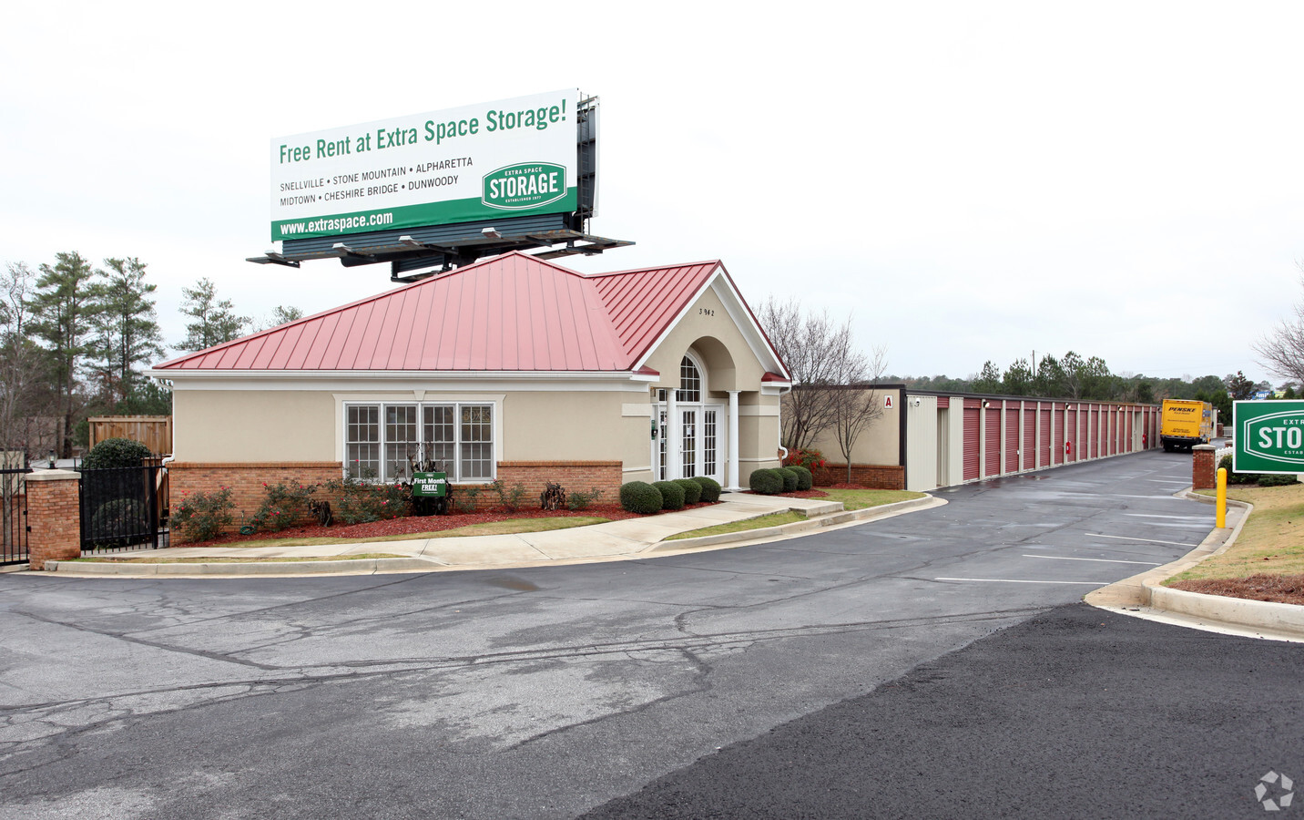
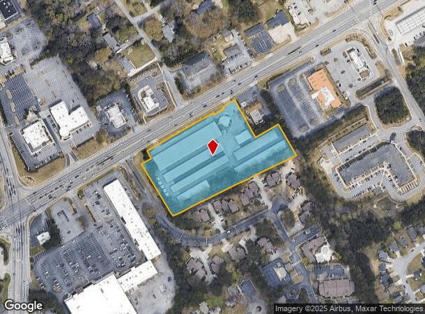
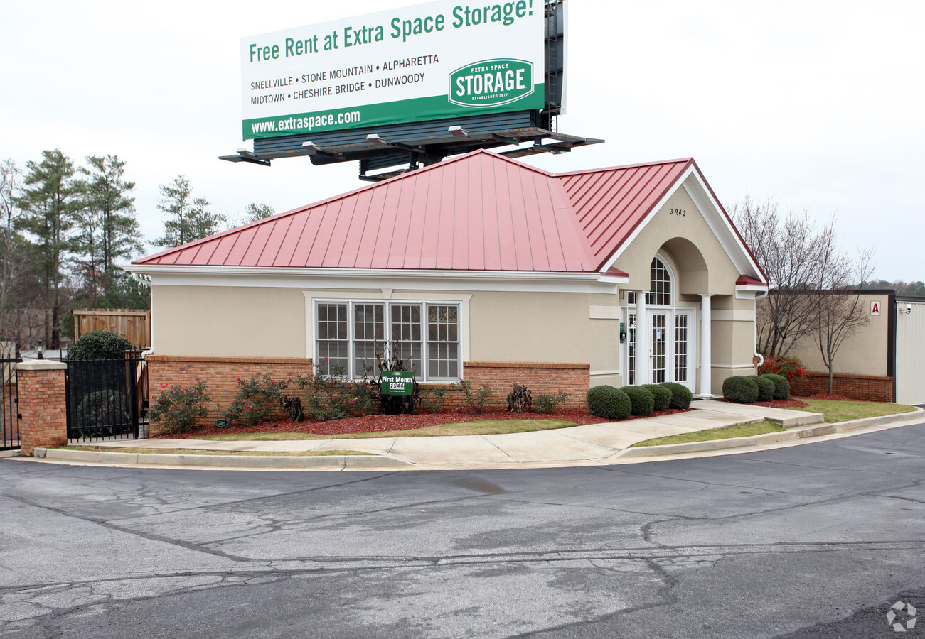
3942 Highway 78 W, Snellville, GA 30039

NEARBY LISTINGS FOR SALE OR LEASE
-
-
View all Snellville listings for sale on LoopNet.com
Property Detail
3942 Highway 78 W
Atlanta-Sandy Springs-Roswell, GA
Hwy 78
6-054-002
HWY 78
Publicstorage
Gwinnett
X
Georgia
13089C0105K
54
2023
4.51 AC
2023
Lawrenceville/Lilburn
050729
Atlanta
99,280 SF
DEMOGRAPHICS near 3942 Highway 78 W
1 Mile
3 Mile
5 Mile
2024 Total Population
8,697
64,509
164,325
2029 Population
9,025
67,097
170,674
Pop Growth 2024-2029
+ 3.77%
+ 4.01%
+ 3.86%
Average Age
37
38
39
2024 Total Households
2,993
21,152
53,576
HH Growth 2024-2029
+ 3.91%
+ 4.08%
+ 3.87%
Median Household Inc
$72,477
$84,934
$87,718
Avg Household Size
2.80
3.00
3.00
2024 Avg HH Vehicles
2.00
2.00
2.00
Median Home Value
$259,972
$282,819
$290,655
Median Year Built
1987
1985
1987
Nearby Places
- Restaurants
- Banks
- Shops
- Fitness
- Groceries
PUBLIC TRANSPORTATION
AIRPORT
Hartsfield - Jackson Atlanta International
DRIVE
WALK
Distance
Hartsfield - Jackson Atlanta International
45 min
30.3 mi
Freight Ports
Georgia Ports - Savannah
DRIVE
WALK
Distance
Georgia Ports - Savannah
298 min
262.2 mi
Nearby Properties
Address
Land Use
TOTAL SIZE
Lot Size
Zoning
Address
Land Use
TOTAL SIZE
Lot Size
Zoning
462,669 SF
102.65 AC
R100
Address
Land Use
TOTAL SIZE
Lot Size
Zoning
301,014 SF
24.12 AC
RM13
Address
Land Use
TOTAL SIZE
Lot Size
Zoning
23,286 SF
27.72 AC
RM-MULTI-F
Address
Land Use
TOTAL SIZE
Lot Size
Zoning
232,617 SF
19.61 AC
RM
Address
Land Use
TOTAL SIZE
Lot Size
Zoning
164,909 SF
13.01 AC
RM
Address
Land Use
TOTAL SIZE
Lot Size
Zoning
215,858 SF
29.68 AC
C2
Address
Land Use
TOTAL SIZE
Lot Size
Zoning
106,114 SF
16.59 AC
C2
Address
Land Use
TOTAL SIZE
Lot Size
Zoning
143,562 SF
15.97 AC
RM
Address
Land Use
TOTAL SIZE
Lot Size
Zoning
48,985 SF
17.87 AC
C2
Address
Land Use
TOTAL SIZE
Lot Size
Zoning
89,686 SF
19.34 AC
C2
Address
Land Use
TOTAL SIZE
Lot Size
Zoning
57,322 SF
9.18 AC
C2
Address
Land Use
TOTAL SIZE
Lot Size
Zoning
113,100 SF
11.39 AC
C2
Address
Land Use
TOTAL SIZE
Lot Size
Zoning
27,564 SF
6.02 AC
C3-CENTRAL
Address
Land Use
TOTAL SIZE
Lot Size
Zoning
3,154 SF
59.12 AC
MH-MOBILE
Address
Land Use
TOTAL SIZE
Lot Size
Zoning
136,930 SF
17.12 AC
C2-GENERAL
Address
Land Use
TOTAL SIZE
Lot Size
Zoning
62,377 SF
6.42 AC
OI-OFFICE-
Address
Land Use
TOTAL SIZE
Lot Size
Zoning
37,113 SF
130.10 AC
R100
Address
Land Use
TOTAL SIZE
Lot Size
Zoning
103,700 SF
10.20 AC
C2
Address
Land Use
TOTAL SIZE
Lot Size
Zoning
60,144 SF
7 AC
R100
Address
Land Use
TOTAL SIZE
Lot Size
Zoning
20.20 AC
OW
Address
Land Use
TOTAL SIZE
Lot Size
Zoning
54.06 AC
R100
Address
Land Use
TOTAL SIZE
Lot Size
Zoning
91,096 SF
28.67 AC
OI
Address
Land Use
TOTAL SIZE
Lot Size
Zoning
103,821 SF
10.80 AC
M1
Address
Land Use
TOTAL SIZE
Lot Size
Zoning
98,336 SF
6.98 AC
C2
Address
Land Use
TOTAL SIZE
Lot Size
Zoning
88,110 SF
8.01 AC
C2
Address
Land Use
TOTAL SIZE
Lot Size
Zoning
70,330 SF
10.06 AC
C2
Address
Land Use
TOTAL SIZE
Lot Size
Zoning
78,460 SF
4.92 AC
C2
Address
Land Use
TOTAL SIZE
Lot Size
Zoning
100,000 SF
10.39 AC
C2
Address
Land Use
TOTAL SIZE
Lot Size
Zoning
72,148 SF
23.23 AC
R100
The World's #1 Commercial Real Estate Marketplace
Connect with us
© 2025 CoStar Group
The information above has been obtained from sources believed reliable. While we do not doubt its accuracy we have not verified it and make no guarantee, warranty or representation about it. It is your responsibility to independently confirm its accuracy and completeness. Any projections, opinions, assumptions, or estimates used are for example only and do not represent the current or future performance of the property. The value of this transaction to you depends on tax and other factors which should be evaluated by your tax, financial, and legal advisors. You and your advisors should conduct a careful, independent investigation of the property to determine to your satisfaction the suitability of the property for your needs.